- Naneghat
-
Naneghat 
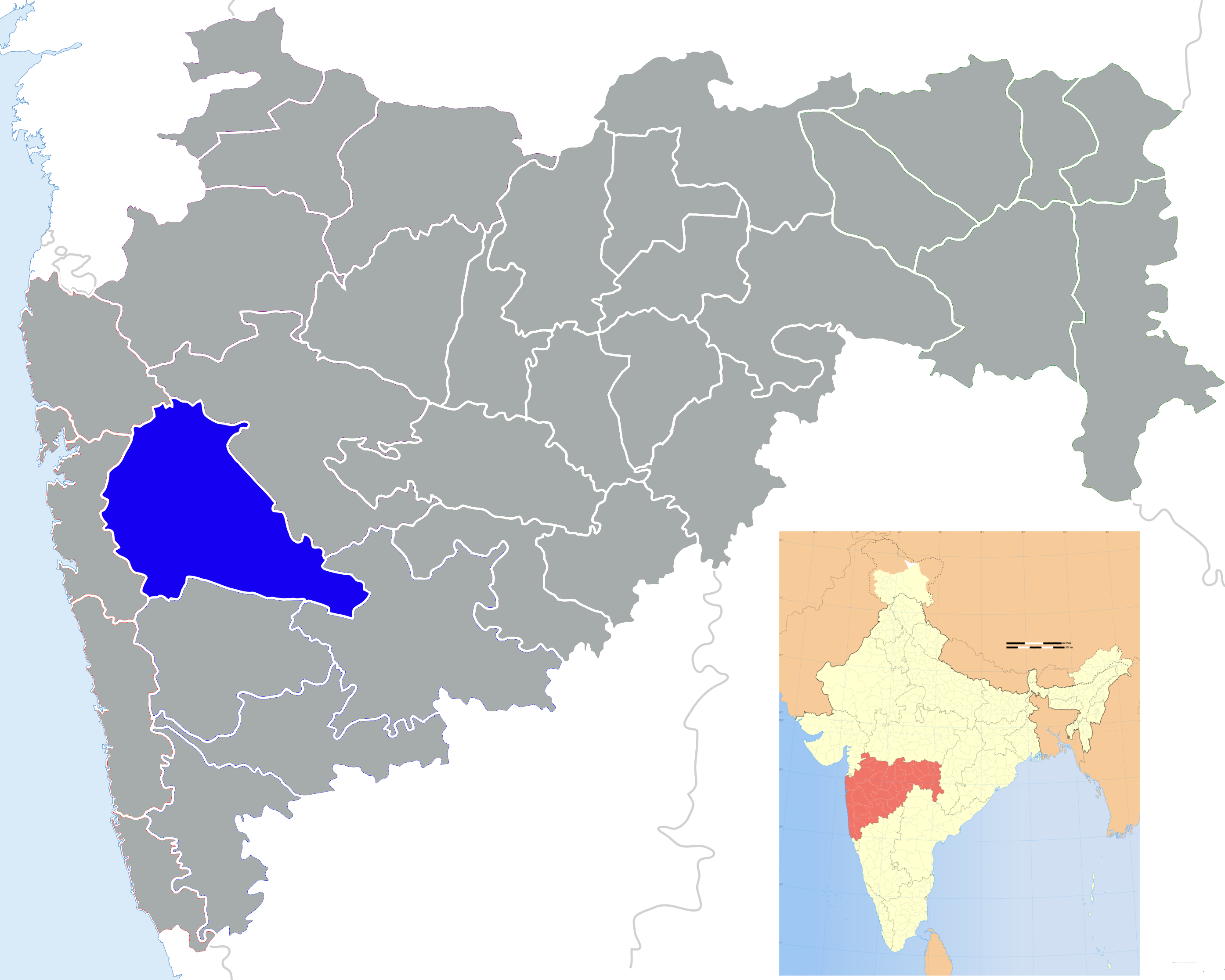
The Naneghat passElevation 750 Location Location Maharashtra, India Range Western Ghats Coordinates 19°18′23″N 73°40′48″E / 19.3064°N 73.6799°E Naneghat (Marathi: नाणेघाट) is a mountain pass in the Western Ghats range near Junnar in Pune district of Maharashtra, India. During the reign of the Satavahana (200 BCE–190 CE), the pass was extensively used as a trade route between Kalyan and Junnar.[1] Literally, the name nane means "coin" and ghat means "pass". The name is given because this path was used as a tollbooth to collect toll from traders crossing the hills.
History
The inscriptions in the caves indicate that they are the work of Satavahana rulers who came into prominence after the fall of the Mauryan empire.[2] It is believed that a powerful woman ruler Naganika, the wife of Satakarni (180–170 BCE) of the Satavahana family commissioned the cave, the statues and the inscriptions. Inscriptions in the cave mention her and her family members. Though the statues adorning the sides of the rectangular cave are now gone, the inscriptions still record some of the achievements of the dynasty. The Naneghat records have proved very important in establishing the history of the region. Vedic Gods like Yama (Hinduism) Indra, Chandra and Surya are mentioned here. The mention of Samkarsana and Vasudeva indicate the prevalence of Bhagavata form of Hinduism in the Satavahana dynasty.
Geography
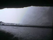 View from inside the main cave
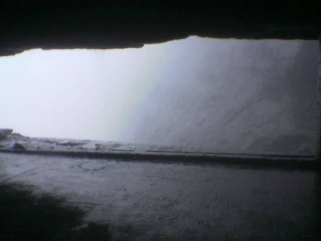
Located at 19°18′23″N 73°40′48″E / 19.3064°N 73.6799°E, at an altitude of 750 m (2,461 ft), the non-motorable pass still serves as a shortcut between the Konkan region and the Deccan by inhabitants of the area. A number of ancient man-made caves have been crafted in the vicinity of the pass. The nearest inhabited area on the Konkan side is Vaishakhare 14 km (9 mi), and the village of Ghatghar 6 km (4 mi) on the plateau side. The Kukadi River has its source in this area.
References
Coordinates: 19°18′23″N 73°40′48″E / 19.3064°N 73.6799°E
[[1]]
Categories:- Pune district
- Mountain passes of Maharashtra
- Pune district geography stubs

Wikimedia Foundation. 2010.