- Oryahovo
-
Oryahovo
Оряхово Location of Oryahovo
 Oryahovo
Coordinates: 43°44′N 23°58′E / 43.733°N 23.967°ECoordinates: 43°44′N 23°58′E / 43.733°N 23.967°E Country Bulgaria Province
(Oblast)Vratsa Government – Mayor Hristo Ivanov (BSP) Elevation 173 m (568 ft) Population (31.12.2009)[1] – Total 5,400 Time zone EET (UTC+2) – Summer (DST) EEST (UTC+3) Postal Code 3300 Area code(s) 09171 Oryahovo (Bulgarian: Оряхово) is a port city in northwestern Bulgaria, part of Vratsa Province. It is located in a hilly country on the right bank of the Danube, just east of the mouth of the river Ogosta, a few more kilometres downstream from where the Jiu flows into the Danube on Romanian territory. The town is known for the ferry service that connects it to the Romanian town of Bechet across the river. There are also plans by local private companies for a bridge across the Danube. As of December 2009, Oryahovo has a population of 5,400 inhabitants.[1]
Contents
History
Ancient history and Middle Ages
The town's name has evolved through the course of history, with names such as Vrhov, Orezov, Oreov and Rahovo being mentioned in documents until the current one was officially established in 1886. The area around Oryahovo has been inhabited since ancient times, as archaeological research has proven with findings from the early Neolithic to the Late Middle Ages. A fortress called Kamaka (Камъка) is located 1 km east from Oryahovo, which existed from the 9th to the 14th century. In 1396, the city, already controlled by the Turks, was sacked and its Ottoman inhabitants killed or taken prisoner by French crusaders heading towards Nikopol. The troops of Holy Roman Emperor Sigismund and Polish King Władysław III of Varna passed through the fortress during their unsuccessful crusades (the Battle of Nicopolis and the Battle of Varna, respectively) against the Ottoman Empire.
Bulgarian National Revival
During the Bulgarian National Revival, Oryahovo established itself as an economic and industrial centre and a key point for the supply of the Ottoman Empire with goods through the Danube. The town was mentioned as an important Danube port in a 1762 book printed in Brussels. The St George Church was opened in 1837, a secular school was built in the town in 1857 and a community centre (читалище, chitalishte) followed in 1871. During the Russo-Turkish War of 1877-78, the town was liberated on 21 November 1877 by Romanian forces after three-day fighting. A memorial by Italian sculptor Arnaldo Zocchi was erected in their honour.
Liberated Bulgaria
After the liberation, Oryahovo was known for the lively trade and rich cultural life. A provincial centre for three months, it became the centre of an okrug for 10 years (1877–1882 and 1884–1889). The architecture from the period is typically influenced by the one of Western Europe, with many such buildings being preserved today.
A railway line linking Oryahovo with Cherven Bryag was constructed in 1926, a new church, the Assumption of Mary Church, opened in 1930, and a new building for the community centre was built in 1936 after a project by two Vidin architects.
Some of the first industrial companies in the city, a spare parts factory and a metalworking company, were opened in 1961. Kozloduy Nuclear Power Plant, a short drive west of town, is also a mayor employer.
The ferry Oryahovo- Beckett, crossing Danube, is one of the main transport corridors from Bulgaria to Romania. This is the most direct route from Sofia to Romania, Ukraine and other countries.
Honour
Oryahovo Heights on Livingston Island in the South Shetland Islands, Antarctica is named after Oryahovo.
Gallery
-
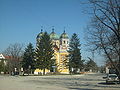
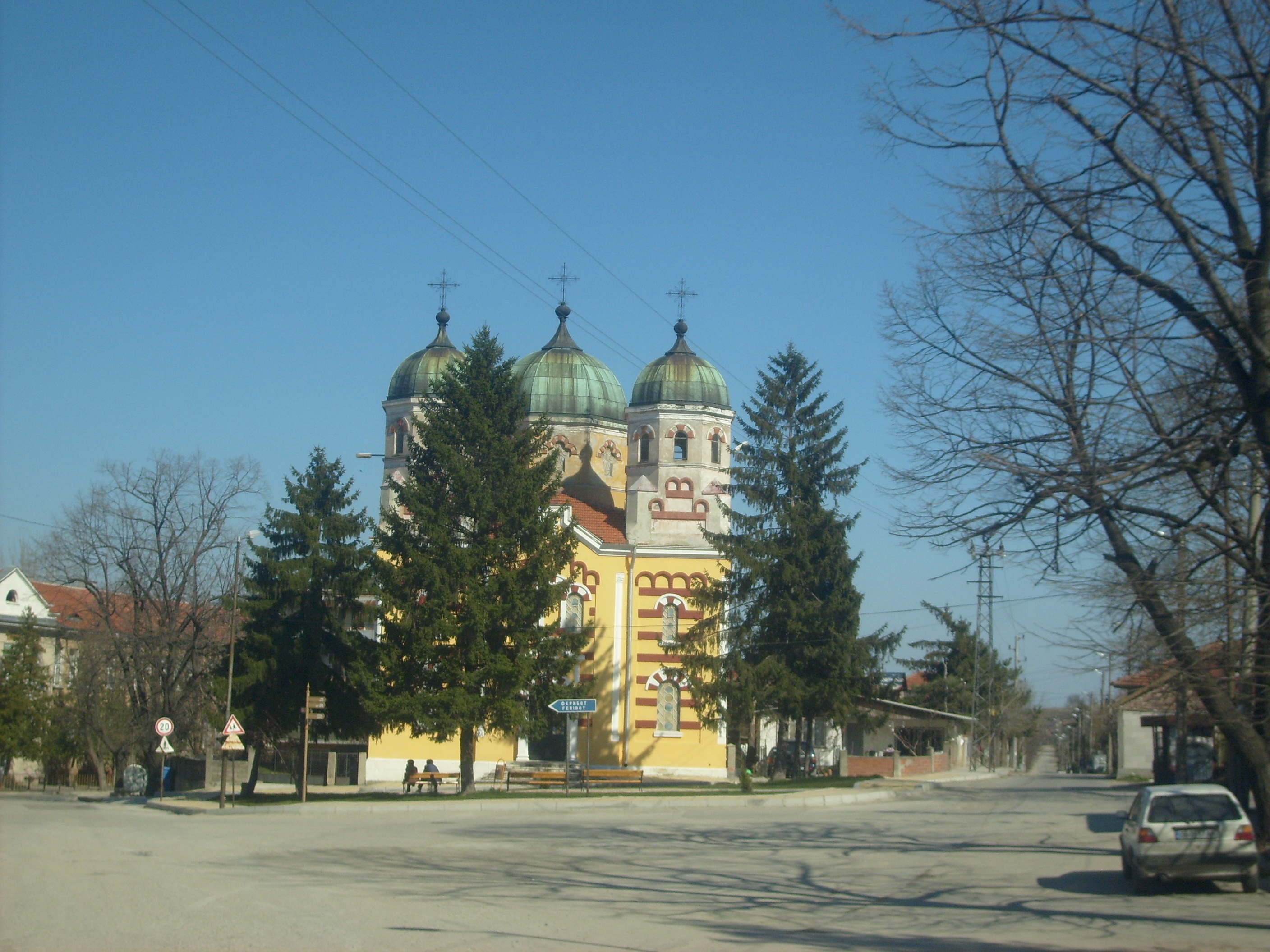
Church in Oryahovo
-
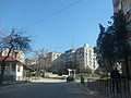
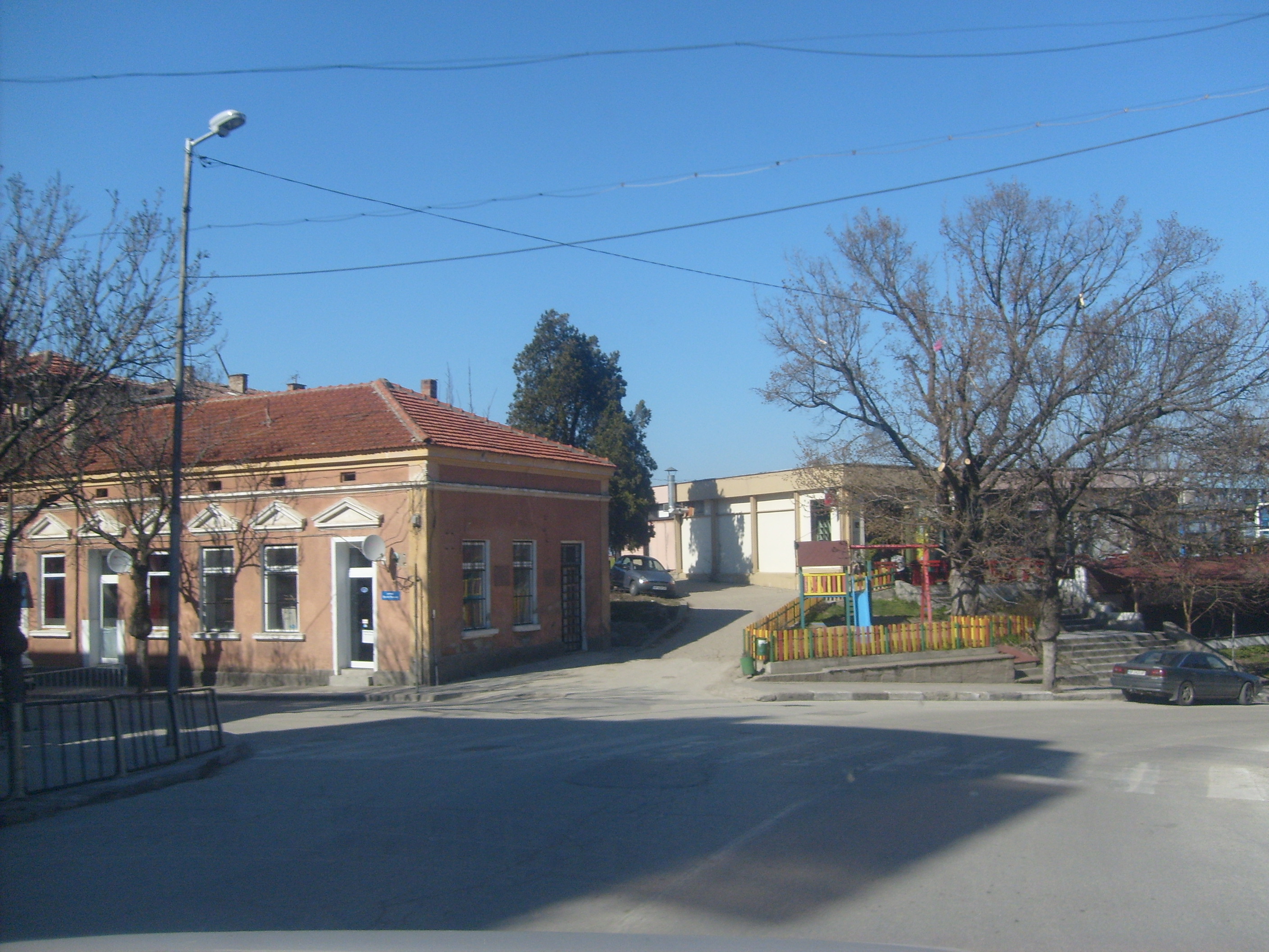
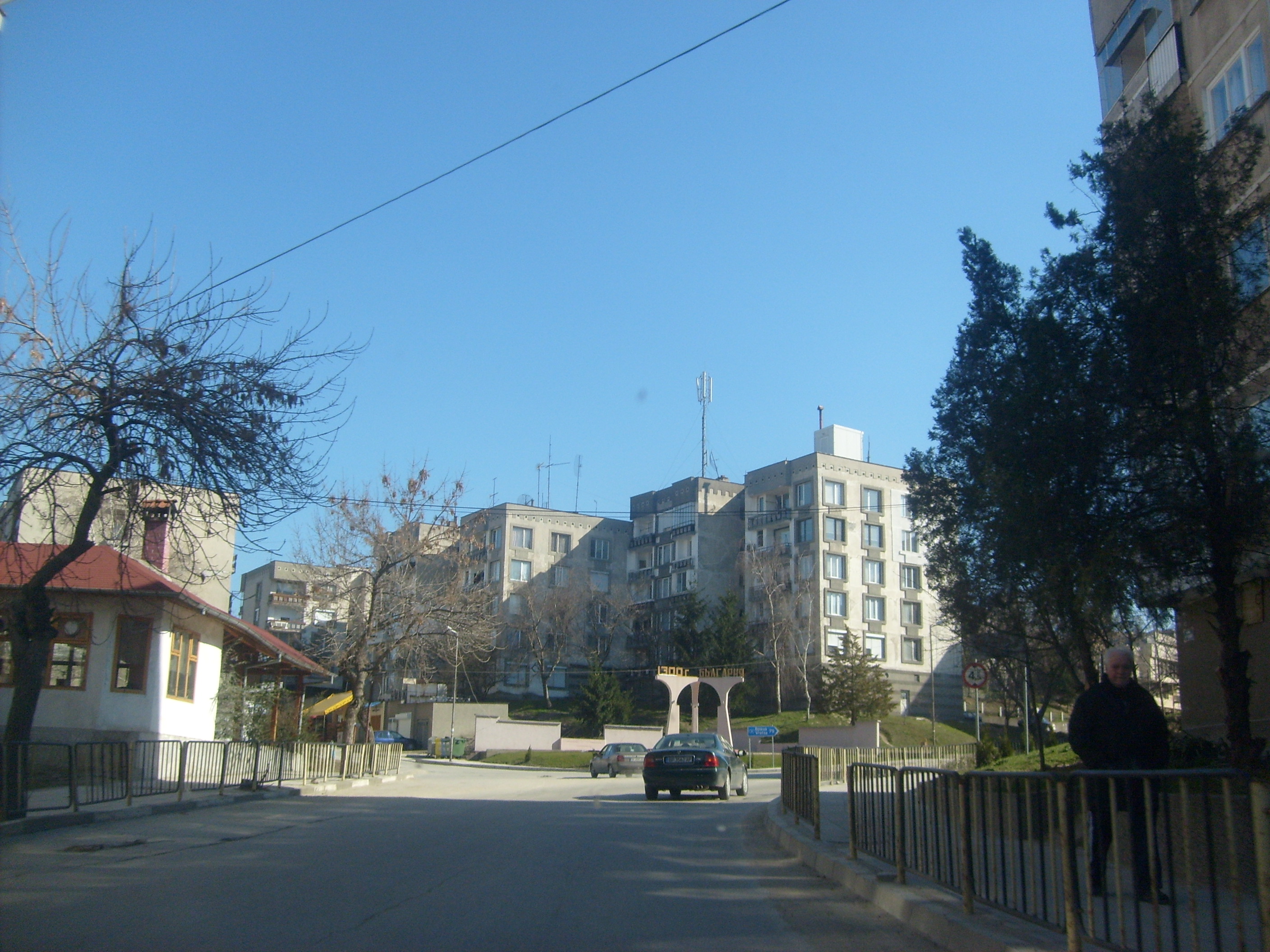
View of the town
-

The Oryahovo–Bechet ferry
-
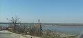
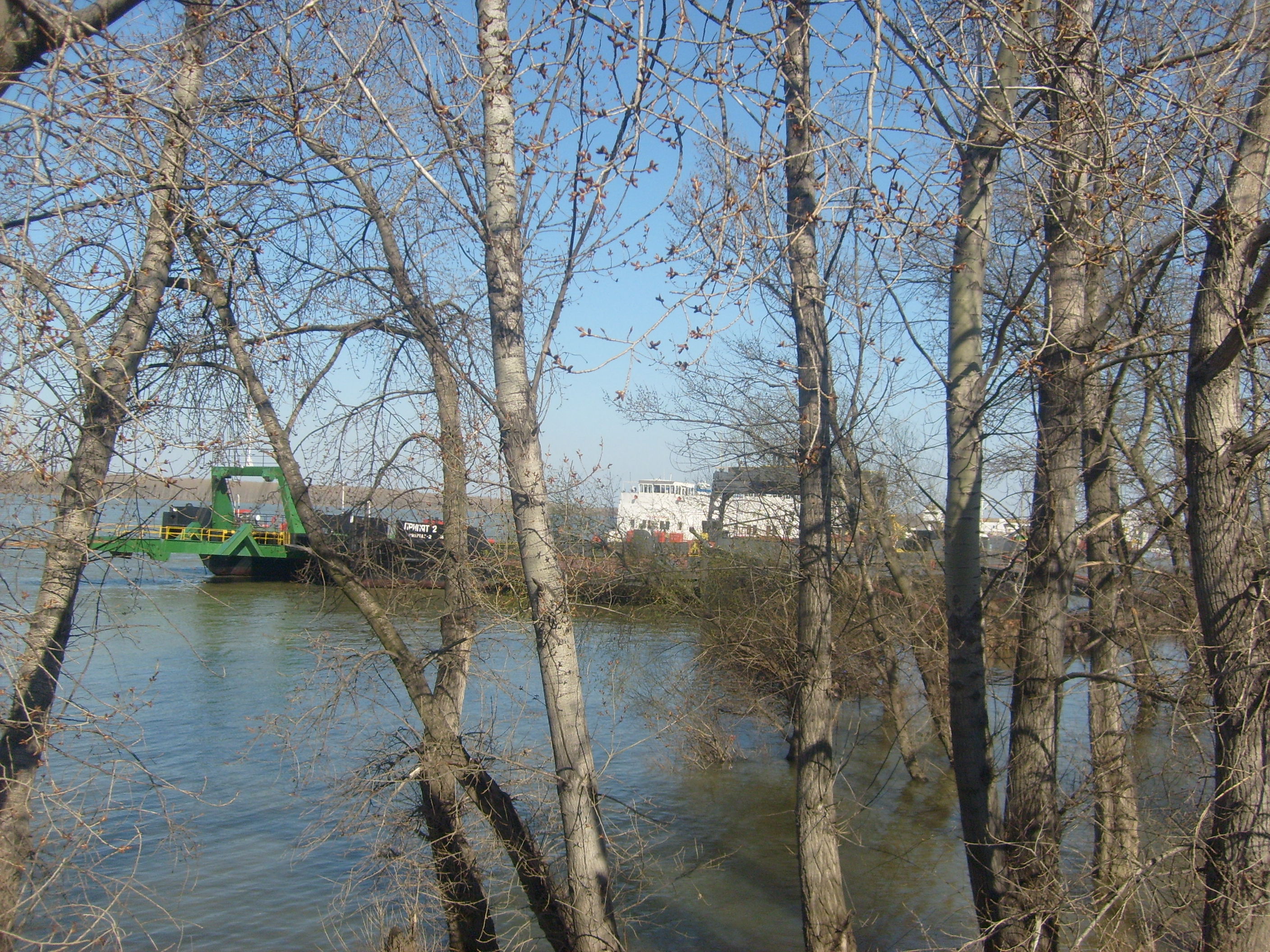
The Danube at Oryahovo
References
External links
Categories:- Populated places in Bulgaria
- Populated places on the Danube
- Vratsa Province
- Bulgaria–Romania border crossings
-


Wikimedia Foundation. 2010.