- Lukovit
-
Lukovit 
Coat of armsLocation of Lukovit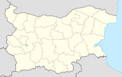
 Lukovit
Coordinates: 43°12′N 24°10′E / 43.2°N 24.167°ECoordinates: 43°12′N 24°10′E / 43.2°N 24.167°E Country Bulgaria Province
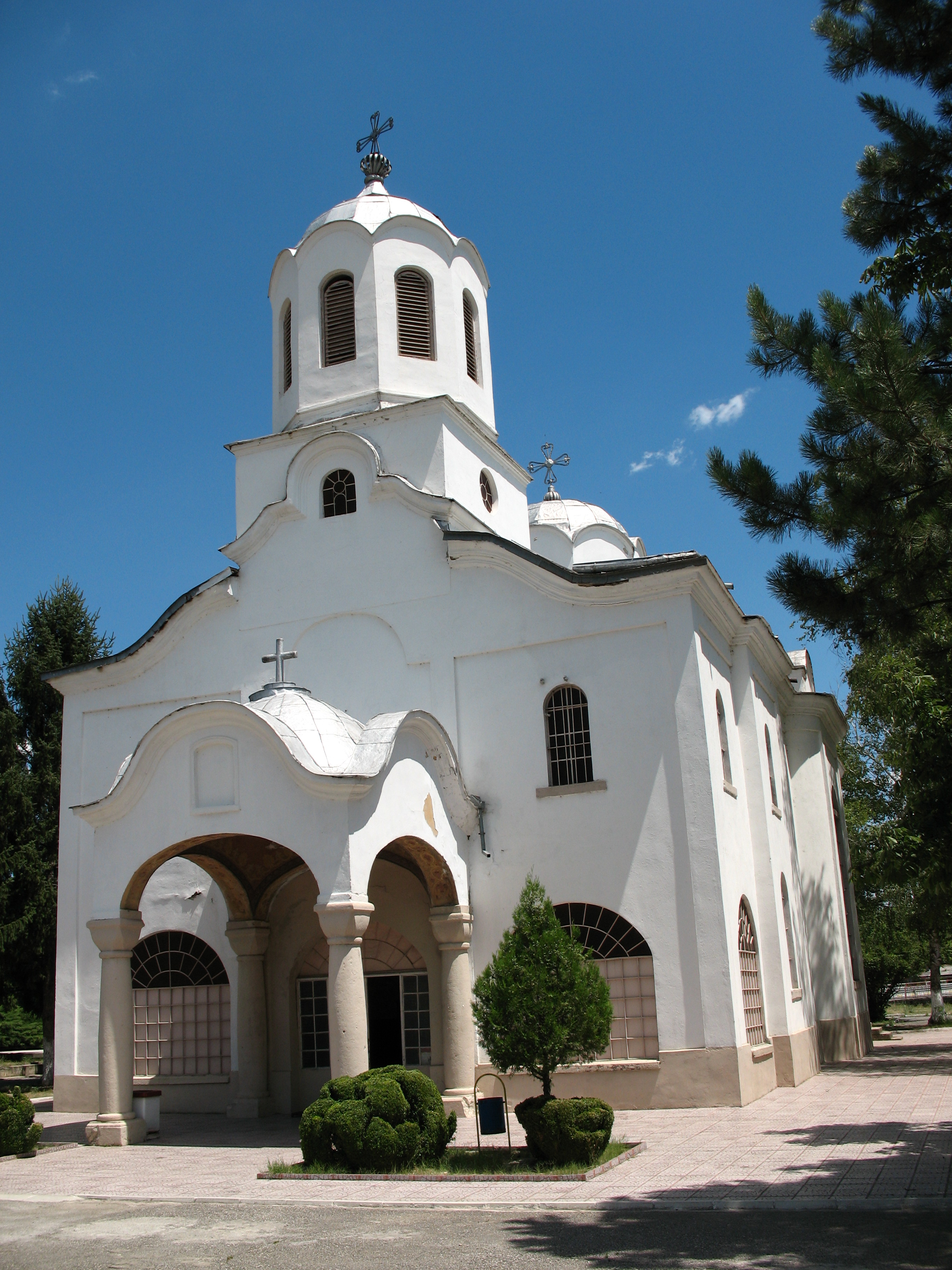
(Oblast)Lovech Government – Mayor Petar Ninchev (BSP) Elevation 171 m (561 ft) Population (31.12.2009)[1] – Total 9,630 Time zone EET (UTC+2) – Summer (DST) EEST (UTC+3) Postal Code 5770 Area code(s) 0697  Church in central Lukovit
Lukovit (Bulgarian: Луковит) is a town in northern Bulgaria, part of Lovech Province. It is situated on both banks of the Zlatna Panega between the Danubian Plain and the foot of Stara Planina. As of December 2009, the town has a population of 9,630 inhabitants.[1]
The town was first mentioned in Ottoman registers of 1430. In 1495, it had 47 households. Between 1683 and 1687, Lukovit was part of an Ottoman process of forceful Islamization, but was not fully Islamized, having 250 Muslim Bulgarian and 260 Eastern Orthodox households in 1860. After the Liberation of Bulgaria, all the Muslims moved out.
Contents
Honour
Lukovit Point on Livingston Island, South Shetland Islands is named after Lukovit. The local football team is Botev Lukovit
See also
References
External links
Apriltsi · Letnitsa · Lovech · Lukovit · Teteven · Troyan · Ugarchin · Yablanitsa
 Municipality of LukovitCapital: Lukovit
Villages Aglen (Ъглен) · Bezhanovo (Бежаново) · Belentsi (Беленци) · Daben (Дъбен) · Dermantsi (Дерманци) · Karloukovo (Карлуково) · Pechterna (Пещерна) · Petrevene (Петревене) · Roumyantsevo (Румянцево) · Todoritchene (Тодоричене) · Toros (Торос)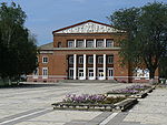
Landmarks Zlatna Panega River · Geological Park Iskar-Panega · ProhodnaCulture Notable people Nikolay Kolev - MichmanaCategories:- Populated places in Bulgaria
- Lovech Province
- Bulgaria geography stubs


Wikimedia Foundation. 2010.