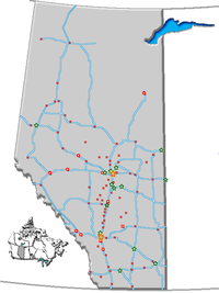
- Minburn, Alberta
-
Minburn — Village — Village of Minburn Location of Minburn Coordinates: 53°18′59″N 111°22′6″W / 53.31639°N 111.36833°WCoordinates: 53°18′59″N 111°22′6″W / 53.31639°N 111.36833°W Country  Canada
Province  Alberta
Region Central Alberta Census Division No. 10 County Minburn Government - Mayor Nick W. Marusiak - Governing body Minburn Village Council Area - Total 0.73 km2 (0.3 sq mi) Elevation 635 m (2,083 ft) Population (2006)[1] - Total 65 Time zone MST (UTC-7) Highways 16 Minburn is a village in central Alberta, Canada. It is located 37 km west of Vermilion and 143 km east of the city of Edmonton, along the Yellowhead Highway and the Canadian National Railway.
Demographics
In 2006, Minburn had a population of 65 living in 44 dwellings, a 26.1% decrease from 2001. The village has a land area of 0.73 km2 (0.28 sq mi) and a population density of 89.2 /km2 (231 /sq mi).[1]
See also
- List of communities in Alberta
- List of villages in Alberta
References
- ^ a b Statistics Canada (Census 2006). "Minburn - Community Profile". http://www12.statcan.ca/english/census06/data/profiles/community/Details/Page.cfm?Lang=E&Geo1=CSD&Code1=4810032&Geo2=PR&Code2=48&Data=Count&SearchText=Minburn&SearchType=Begins&SearchPR=01&B1=All&GeoLevel=&GeoCode=4810032. Retrieved 2007-06-08.
Categories:- Villages in Alberta
- Minburn County, Alberta
- Central Alberta geography stubs
Wikimedia Foundation. 2010.

