- Nork, Surrey
-
Coordinates: 51°19′23″N 0°13′12″W / 51.323°N 0.220°W
Nork 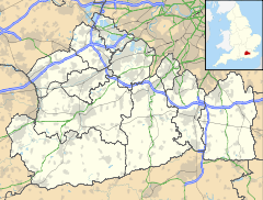
 Nork
Nork
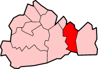
Nork shown within SurreyPopulation 1,500 OS grid reference TQ241598 District Reigate and Banstead Shire county Surrey Region South East Country England Sovereign state United Kingdom Post town Banstead Postcode district SM7 Dialling code 01737 Police Surrey Fire Surrey Ambulance South East Coast EU Parliament South East England UK Parliament Reigate List of places: UK • England • Surrey Nork is a residential area of the borough of Reigate and Banstead in Surrey, England. It is located between Banstead and Epsom Downs. The main road through the area from north to south-west is Nork Way, along which a parade of shops is located at the northern end.
The buildings in the area are predominantly of inter-war features, and are similar to those of nearby Tattenham Corner. The shopping parade consists of small convenience stores and local services such as hair salons, dentists, and restaurants.
Contents
Transport
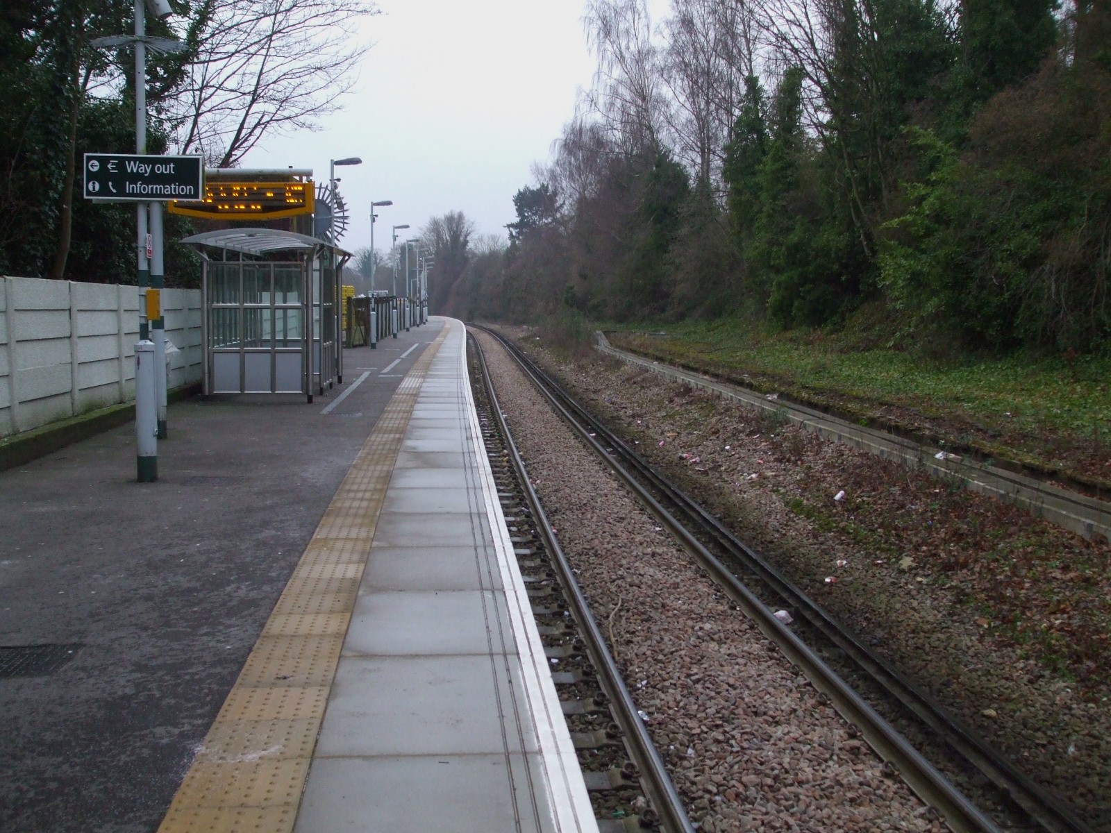
Banstead railway station is located just to the north of Nork.
At the end of the parade of shops on Nork Way, there is a bus stop. A limited bus service operates to Epsom and Coulsdon, through Banstead.
-

Banstead railway station
Nork Park
Nork Park is located to the south of the main residential area, bordering Tattenham Corner and Burgh Heath. It is recognised as an area of chalk grassland and has many rare and unusual flowers. It contains football pitches, playgrounds and a community centre, and is an important area for dog-walking. There are several car parks from which the park can be accessed. The Park is part the grounds of the old Nork House estate which was bought by the local council in 1947 from the landowner David Field. [1]
Schools
Warren Mead Infant School and Warren Mead Junior School are in the Nork region. [2] The Beacon School is located next to Nork Park, and was formerly known as Nork Park School. Other nearby schools are Glyn Technology School and Rosebery School for Girls. Most residents send their children to Sutton, Cheam, or Epsom for single-sex education. The nearest independent school is located in Burgh Heath, Aberdour School, and Nork is close by to Epsom College, a senior public school.
Notable residents
- F. E. Colman, managing director of Colman's mustard manufacturers, bought Nork House in 1890 and lived there with his family until 1923. The remains of the house are visible in Nork Park, now a public recreation area.
- The comedian David Walliams grew up in Nork and was a lifeguard at Banstead Sports Centre.
References
Towns, villages and hamlets in the Reigate and Banstead District of Surrey, England  Banstead · Burgh Heath · Chipstead · Earlswood · Hooley · Horley · Kingswood · Lower Kingswood · Meadvale · Merstham · Netherne-on-the-Hill · Nork · Redhill · Reigate · Salfords · Sidlow · South Park · Tadworth · Tattenham Corner · Walton-on-the-Hill · Whitebushes · Woodhatch · WoodmansterneCategories:
- Villages in Surrey
-

Wikimedia Foundation. 2010.