- Notikewin River
-
Notikewin River Origin Clear Hills
56°39′57″N 119°26′23″W / 56.66594°N 119.43978°WMouth Peace River
57°16′46″N 117°08′07″W / 57.27938°N 117.13529°WBasin countries  Canada
Source elevation 1,055 meters (3,461 ft) Mouth elevation 275 meters (902 ft) Notikewin River is a river in northern Alberta, Canada. It is a tributary of the Peace River. The Notikewin Provincial Park is established at the mouth of the river.
The name derives from nôtinikewin (ᓅᑎᓂᑫᐃᐧᐣ), the Cree word for "battle".[1] The name is shared with the settlement of Notikewin,[2] and is lent to the Notikewin Member, a stratigraphical unit of the Western Canadian Sedimentary Basin.
Contents
Course
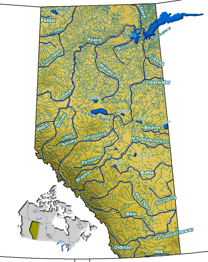
The Notikewin River originates in the Clear Hills of northern Alberta, north of Worsley, at an elevation of 1,055 meters (3,461 ft). It flows in east and north-east, along the southern slopes of the Halverson Ridge, where it receives the waters from the Square Creek and Alleman Creek. It turns east and receives waters from the Rambling Creek, Lovet Creek and Jim Creek.
It flows through the town of Manning, where it is crossed by the Mackenzie Highway and Railink Mackenzie Northern railway. the settlement of Notikewin is situated immediately north of Manning. The river continues north-east through the Peace Country, receiving the waters of Stowe Creek, Soldar Creek and Hotchkiss River. It continues north-east between Highway 741 and Highway 692, where the Meikle River and Gravina Creek merge into the river, east of Hawk Hills. The river turns east, enters the Notikewin Provincial Park and finally empties into the Peace River at an elevation of 275 meters (902 ft).
Tributaries
- Square Creek
- Alleman Creek
- Rambling Creek
- Lovet Creek
- Jim Creek
- Stowe Creek
- Soldar Creek
- Hotchkiss River
- Meikle River
- Gravina Creek
See also
- List of rivers in Canada
- List of rivers of Alberta
References
- ^ Cree Dictionary. "Nôtinikewin". http://www.creedictionary.com/search/index.php?q=n%C3%B4tinikewin&scope=1&cwr=45168. Retrieved 2010-03-17.
- ^ ePodunk. "Notikewin". http://ca.epodunk.com/profiles/alberta/notikewin/2004712.html. Retrieved 2010-03-17.
Hydrography of Alberta Rivers 
Waterfalls Lakes Reservoirs Glaciers Other - Peace–Athabasca Delta
Categories:- Rivers of Alberta
- Northern Alberta geography stubs
Wikimedia Foundation. 2010.