- National Register of Historic Places listings in the upper NW Quadrant of Washington, D. C.
-
This is a list of properties and districts listed on the National Register of Historic Places in the Northwest quadrant of Washington, D.C. that are both east of Rock Creek and north of M Street.
-
- This National Park Service list is complete through NPS recent listings posted November 10, 2011.[1]
Current listings
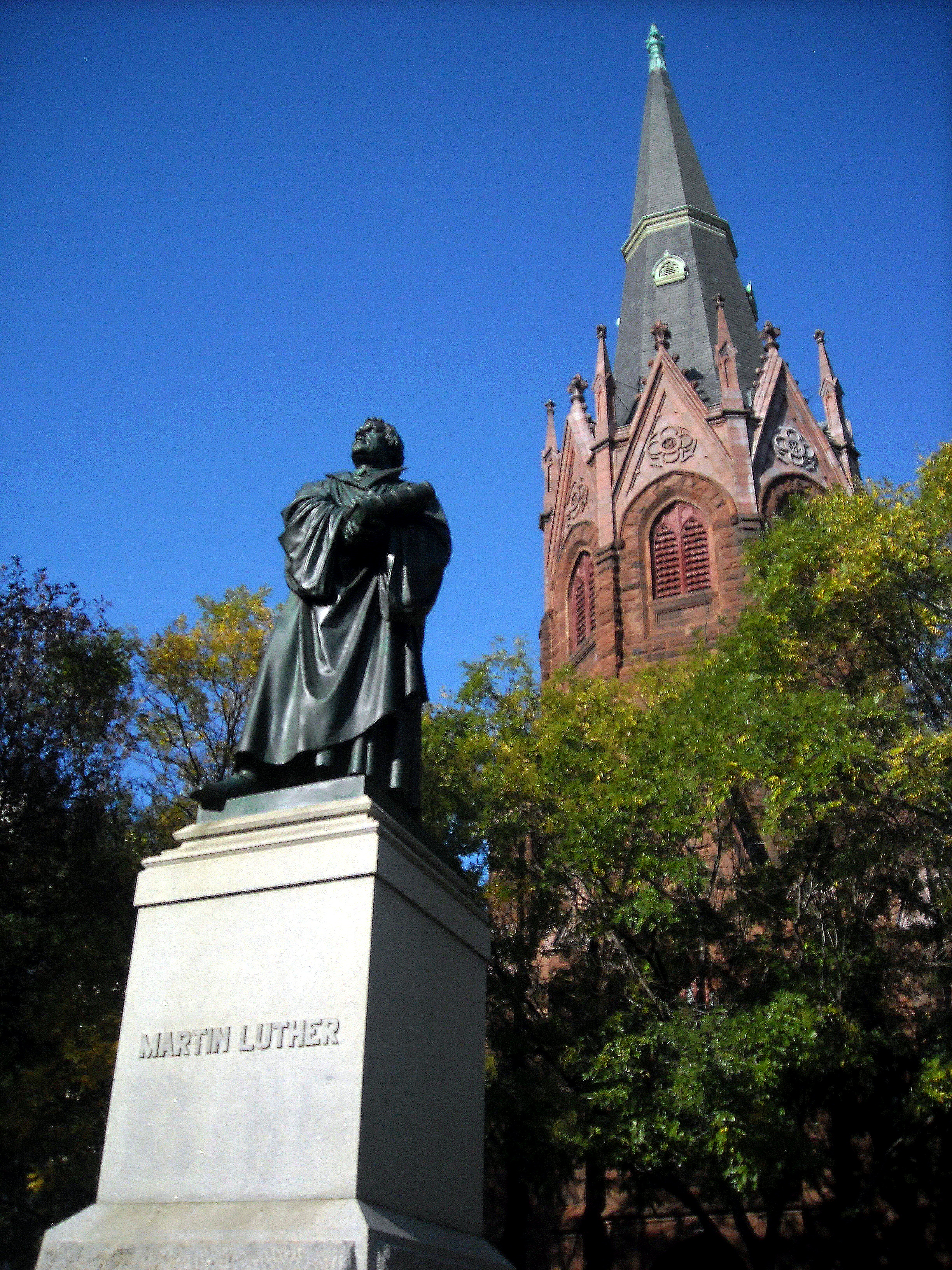
Landmark name Image Date listed Location Neighborhood Summary 1 Adams Memorial 
March 16, 1972 Webster St. and Rock Creek Church Rd., NW.
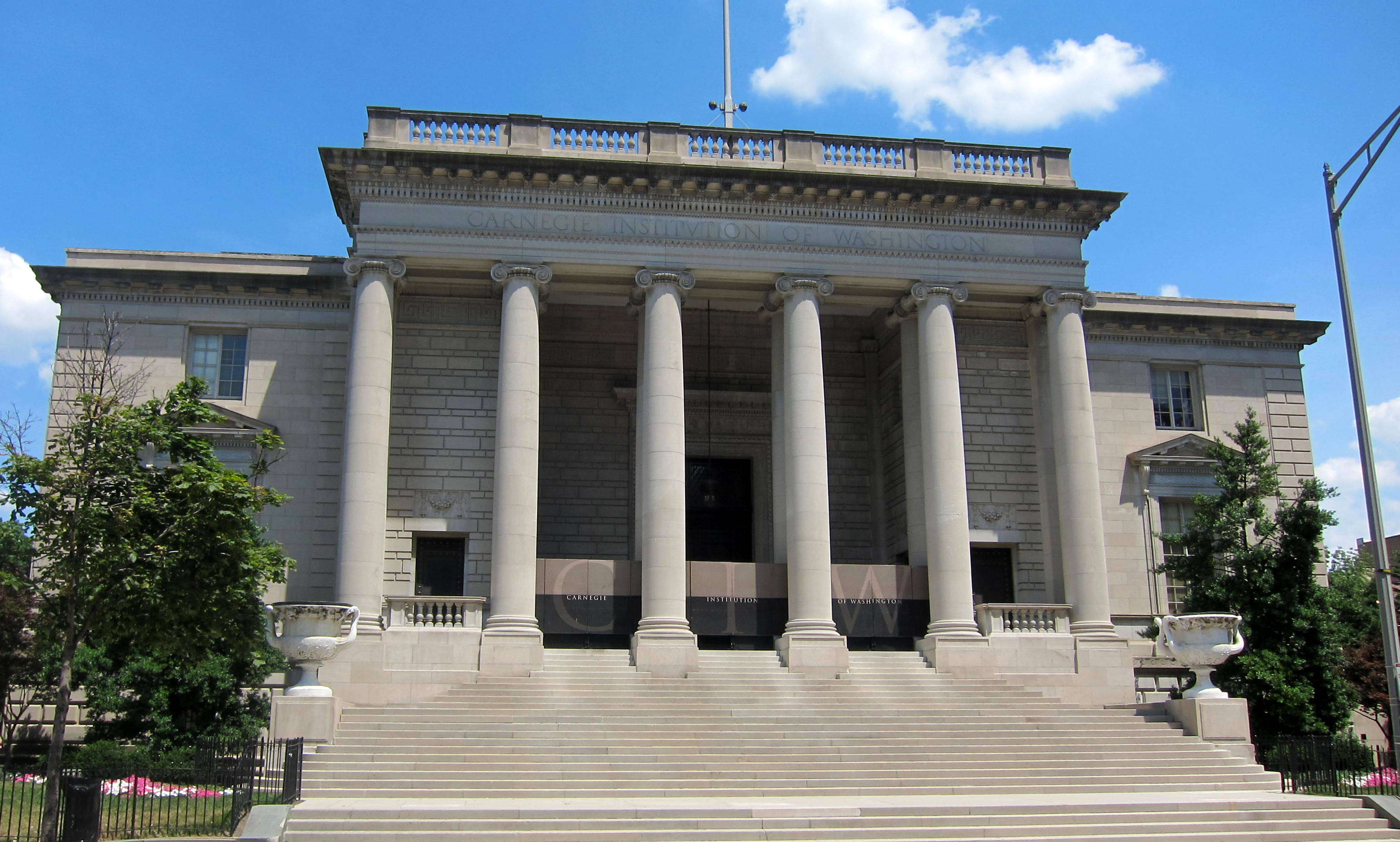
38°56′50″N 77°0′39″W / 38.94722°N 77.01083°WFort Totten 2 Administration Building, Carnegie Institute of Washington 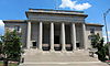
October 15, 1966 1530 P St., NW.
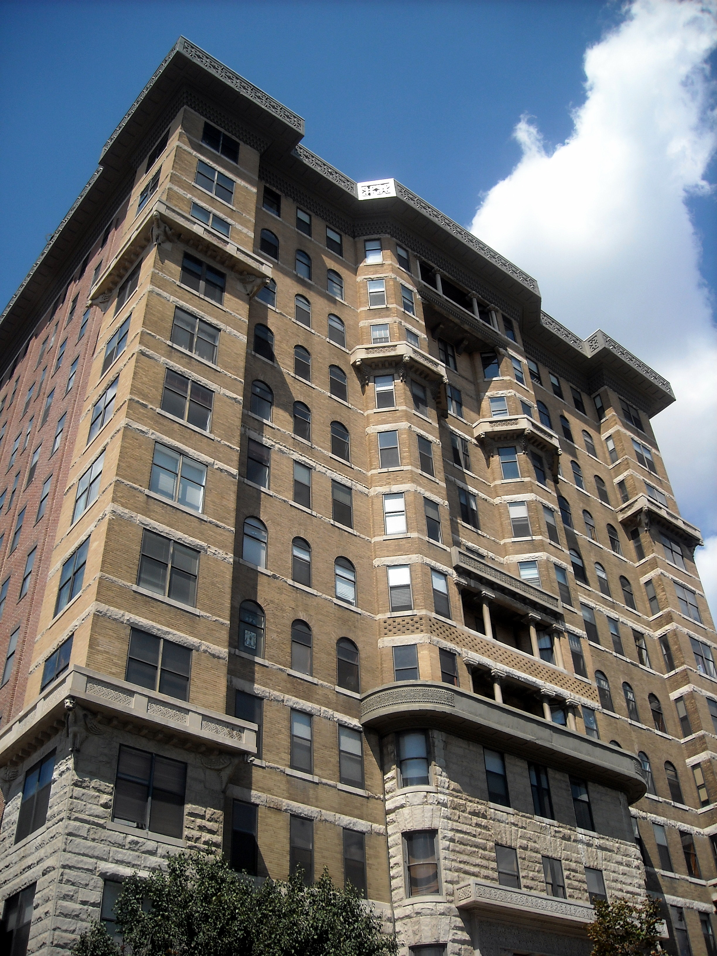
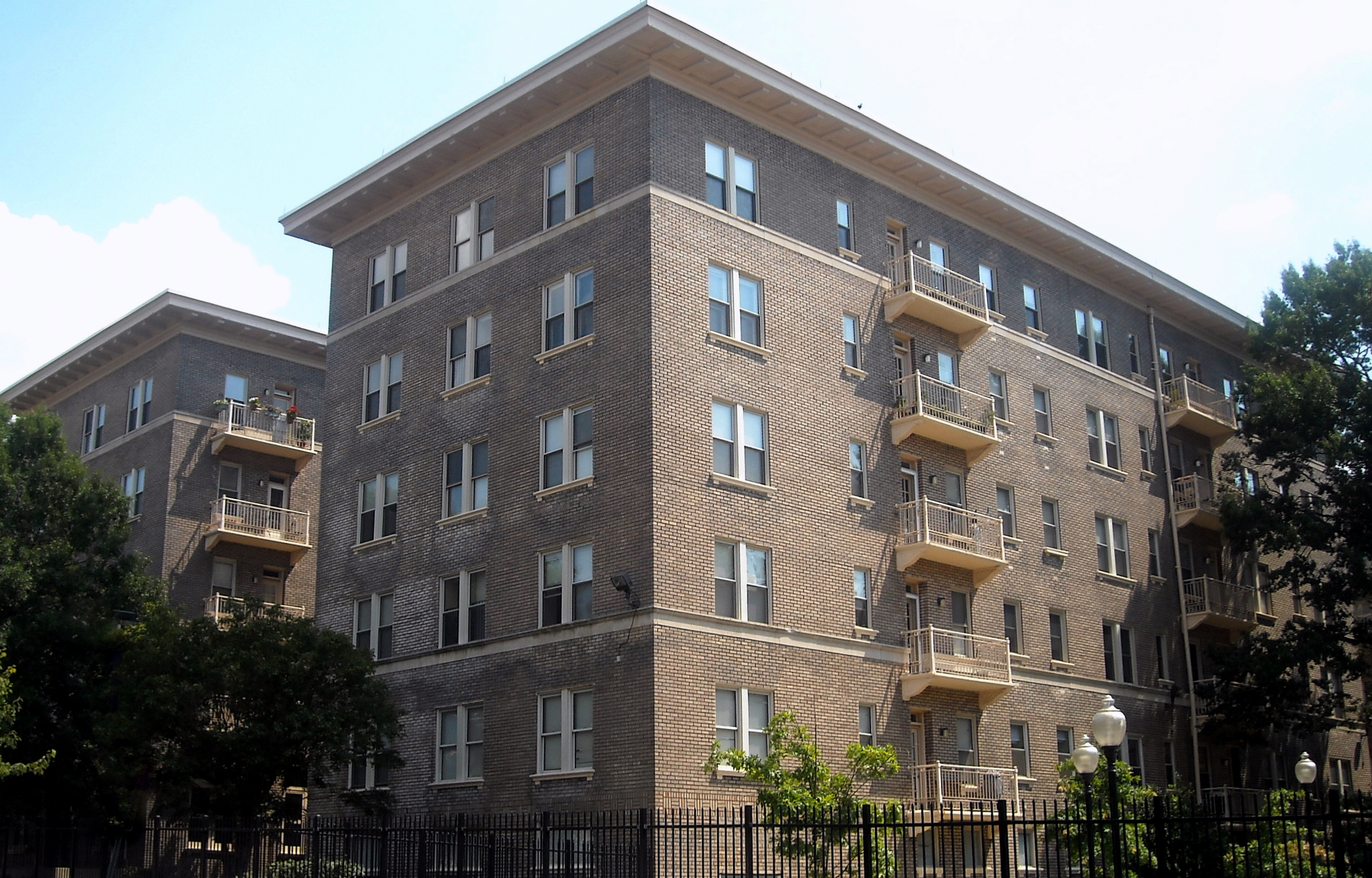
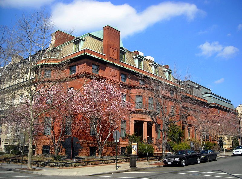
38°54′33.75″N 77°2′10.1″W / 38.909375°N 77.036139°WDupont Circle 3 Alden, Babcock, Calvert Apartments 
May 25, 1990 2620 13th St., NW.
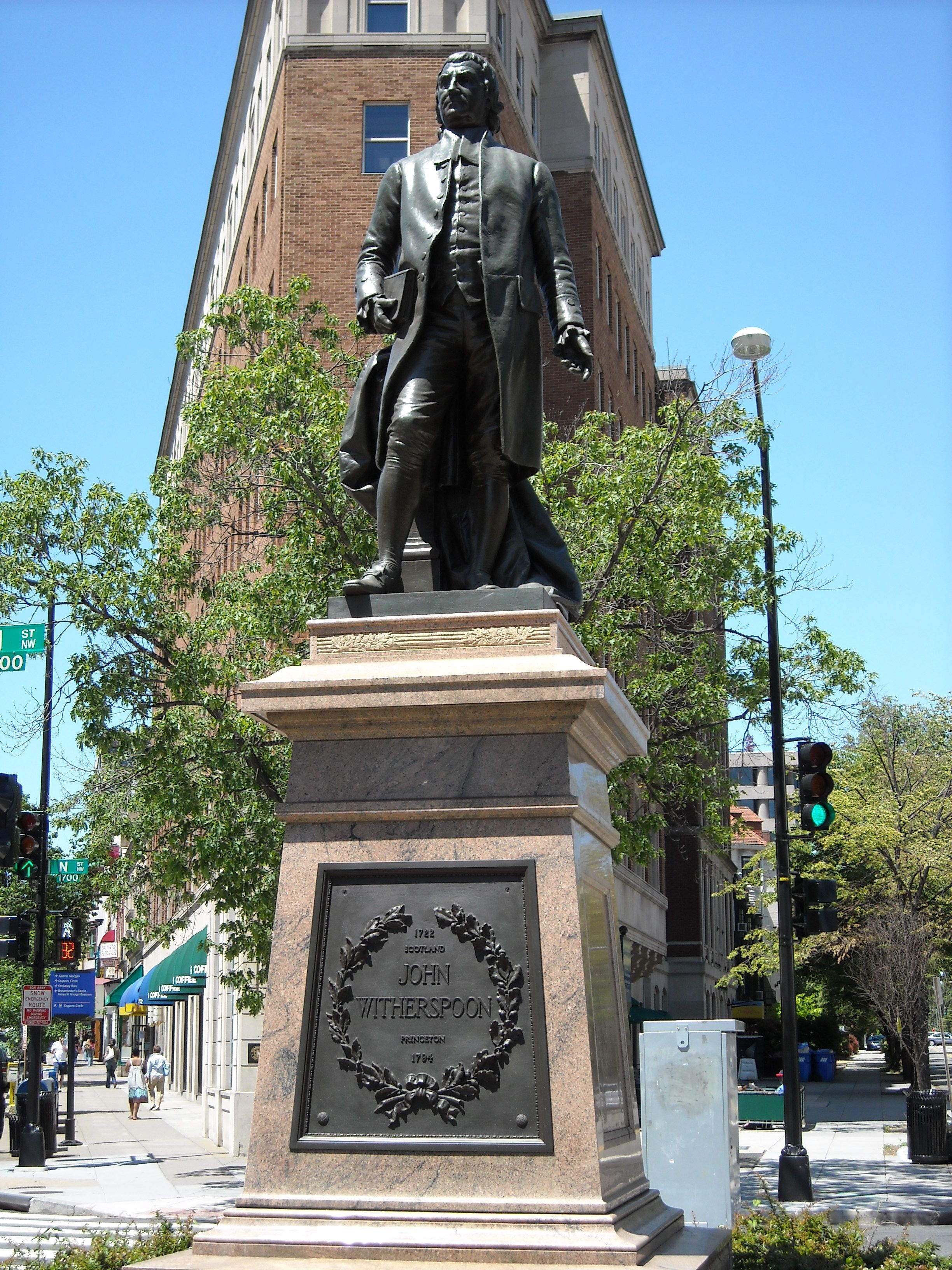
38°55′27″N 77°1′49″W / 38.92417°N 77.03028°WColumbia Heights 4 American Revolution Statuary 
July 14, 1978 Public buildings and various parks within DC
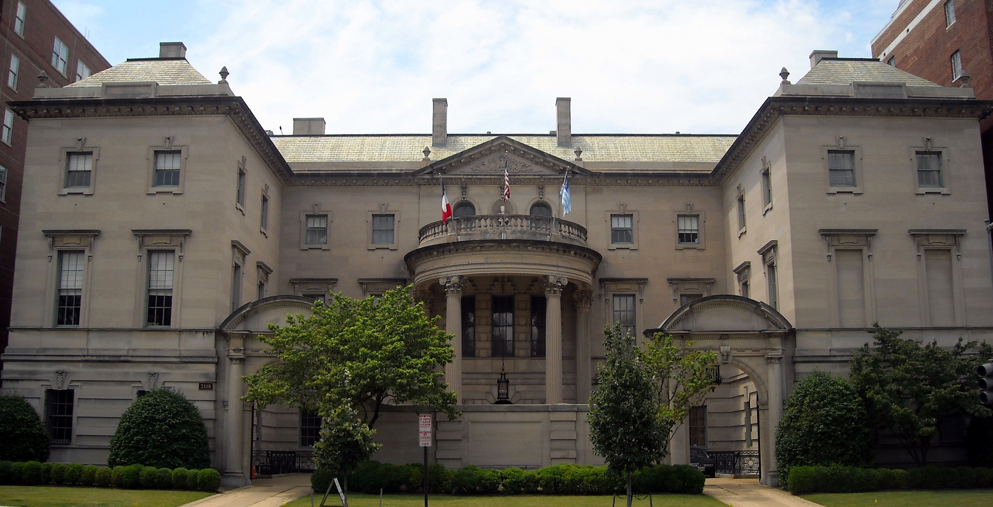
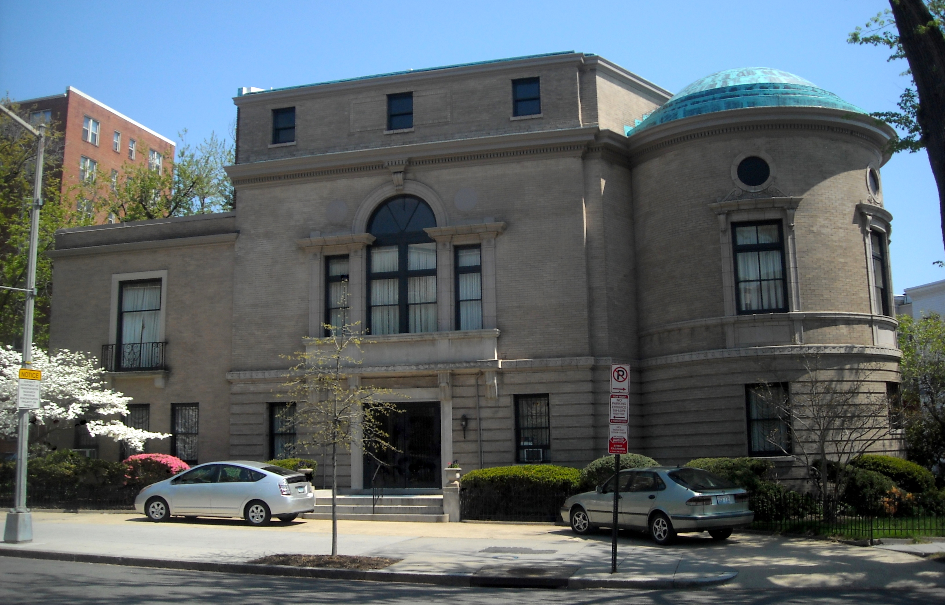
38°54′25″N 77°2′29″W / 38.90694°N 77.04139°WDupont Circle 14 statues including 11 in central DC, and Doctor John Witherspoon south of Dupont Circle 5 Larz Anderson House 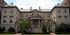
April 7, 1971 2118 Massachusetts Ave., NW.
38°54′39″N 77°2′53″W / 38.91083°N 77.04806°WDupont Circle National headquarters of the Society of the Cincinnati 6 Andrew Rankin Memorial Chapel, Frederick Douglas Memorial Hall, Founders Library 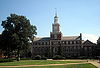
January 3, 2001 2441 and 2365 6th St. NW; and 500 Howard Place NW
38°55′21″N 77°1′13.38″W / 38.9225°N 77.0203833°WHoward University 7 Apartment Building at 2225 N Street 
September 9, 1994 2225 N St., NW.
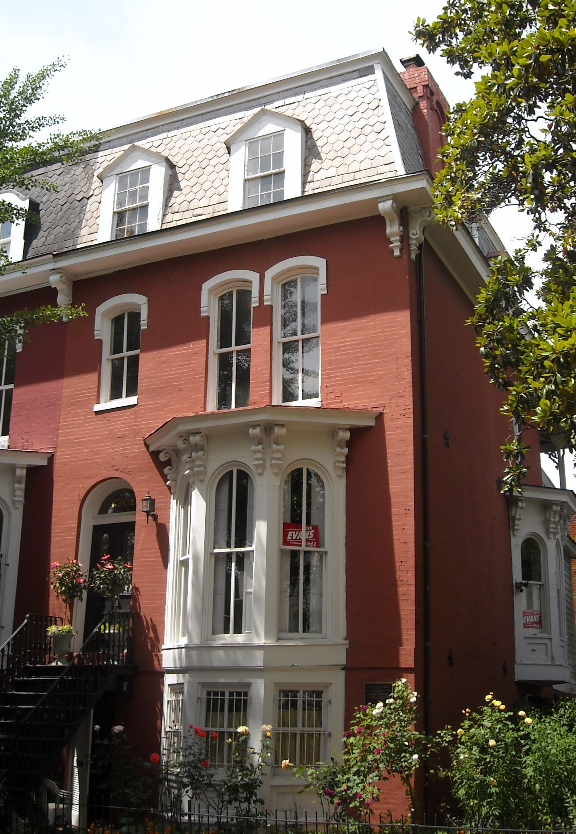
38°54′27″N 77°3′0″W / 38.9075°N 77.05°WDupont Circle 8 Armed Forces Retirement Home-Washington 
December 5, 2007 3700 N Capitol St NW
38°56′10.85″N 77°0′32.59″W / 38.9363472°N 77.0090528°WPark View 9 Armstrong Manual Training School 
August 16, 1996 Jct. of 1st and P Sts., NW
38°54′32″N 77°0′49″W / 38.90889°N 77.01361°WTruxton Circle 10 Army Medical Museum 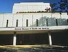
October 15, 1966 Armed Forces Institute of Pathology Building, Walter Reed Army Medical Center, 13th St. and Fern Pl.
38°58′40.79″N 77°1′46.8″W / 38.9779972°N 77.029667°WWalter Reed Army Medical Center 11 Francis Asbury Memorial 
October 11, 2007 Reservation 309-B, 16th & Mt. Pleasant Sts. NW
38°55′47″N 77°2′13″W / 38.92972°N 77.03694°WMount Pleasant 12 Banneker Recreation Center 
April 28, 1986 2500 Georgia Ave. NW
38°55′20″N 77°1′25″W / 38.92222°N 77.02361°WColumbia Heights 13 George M. Barker Company Warehouse 
August 27, 2008 1525 7th St., NW.
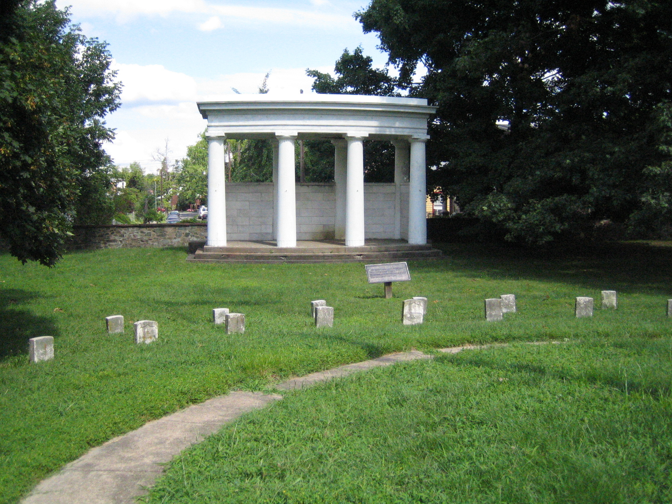
38°54′35.92″N 77°1′17.22″W / 38.9099778°N 77.02145°WLogan Circle-Shaw 14 Battleground National Cemetery 
October 15, 1966 6625 Georgia Ave., NW.
38°58′14″N 77°1′37″W / 38.97056°N 77.02694°WBrightwood 15 Joseph Beale House 
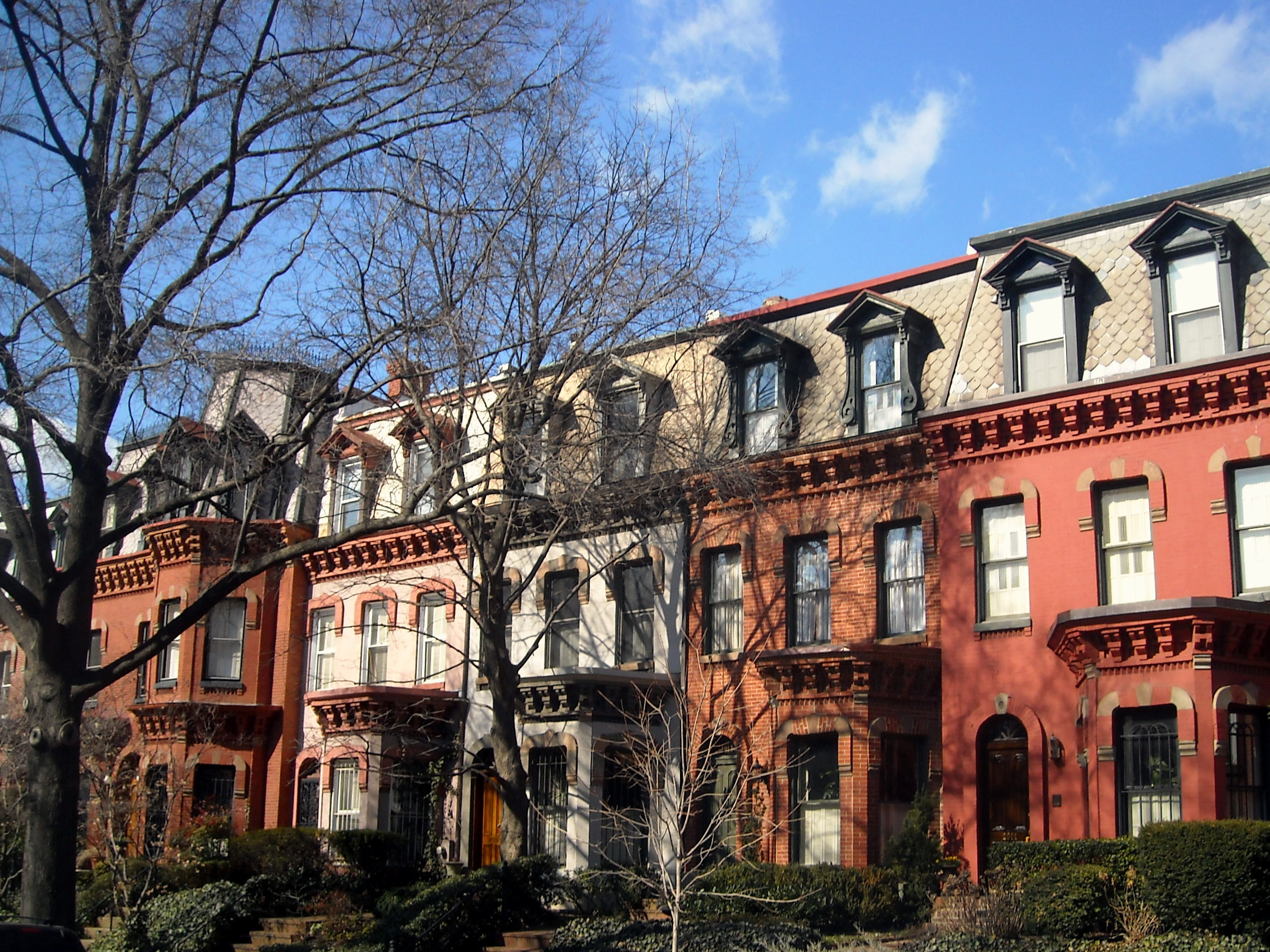
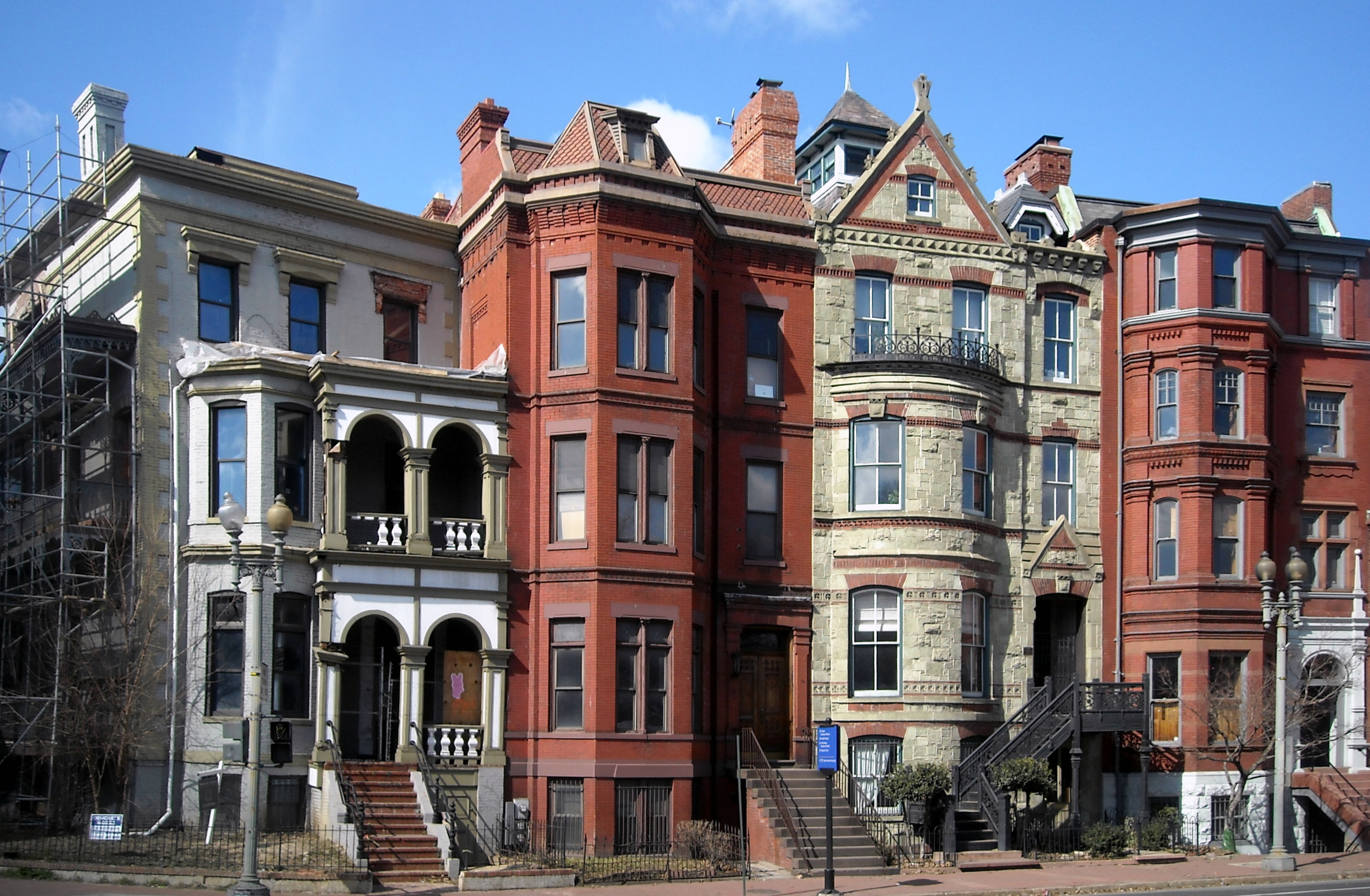
May 8, 1973 2301 Massachusetts Ave., NW.
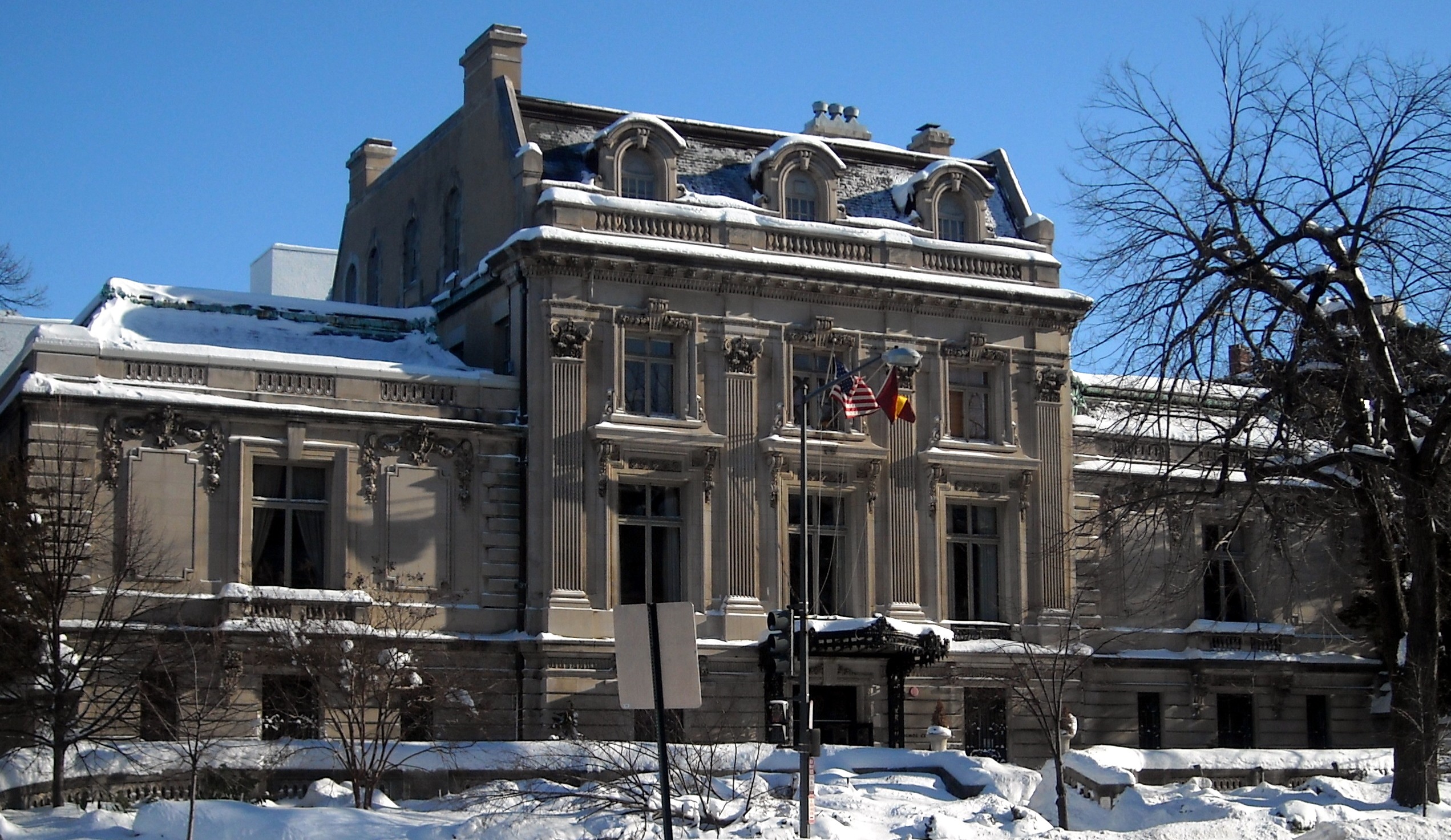
38°54′46″N 77°3′5″W / 38.91278°N 77.05139°WKalorama Heights 16 Perry Belmont House 
May 8, 1973 1618 New Hampshire Ave., NW.
38°54′44″N 77°2′30″W / 38.91222°N 77.04167°WDupont Circle 17 Blagden Alley-Naylor Court Historic District 
November 16, 1990 Bounded by O, 9th, M, & 10th Sts. NW.
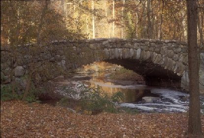
38°54′44″N 77°1′33″W / 38.91222°N 77.02583°WLogan Circle-Shaw 18 Boulder Bridge and Ross Drive Bridge 
March 20, 1980 Rock Creek Park
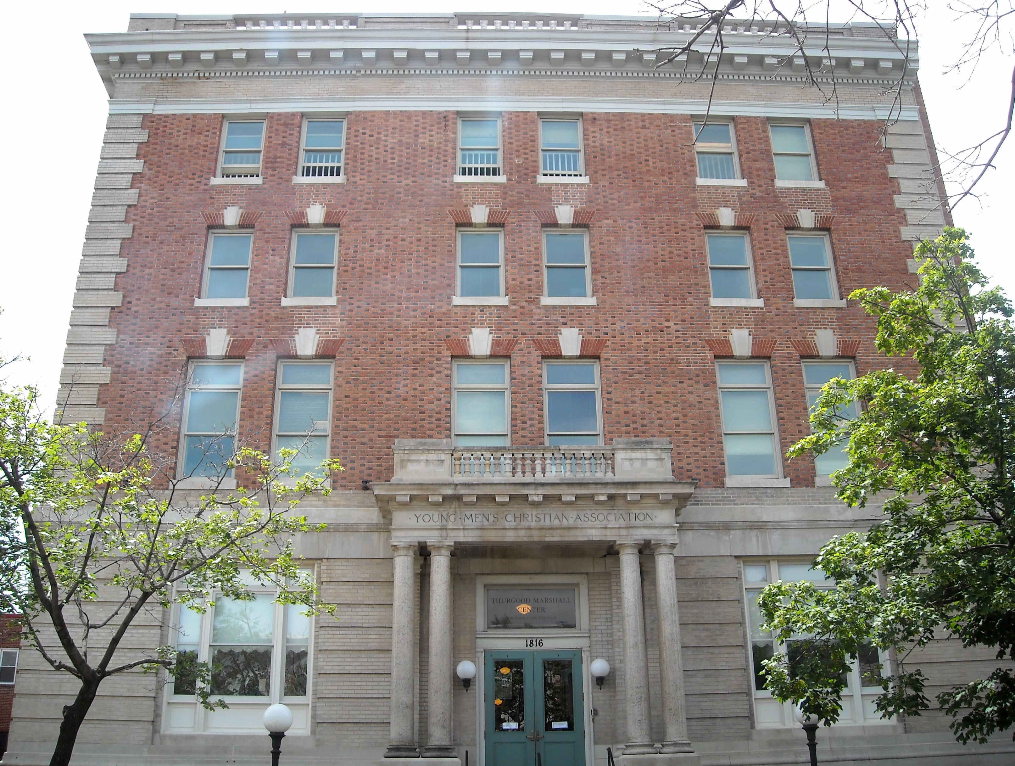
38°56′53″N 77°2′42″W / 38.94806°N 77.045°WRock Creek Park Extends to both sides of Rock Creek 19 Anthony Bowen YMCA 
October 3, 1983 1816 12th St. NW
38°54′53″N 77°2′25″W / 38.91472°N 77.04028°WCardozo-Shaw 20 Brodhead-Bell-Morton Mansion 
October 14, 1987 1500 Rhode Island Ave., NW
38°54′26.89″N 77°2′5.97″W / 38.9074694°N 77.0349917°WDupont Circle 21 Blanche K. Bruce House 
May 15, 1975 909 M St., NW
38°54′21″N 77°1′29″W / 38.90583°N 77.02472°WLogan Circle-Shaw 22 Buildings at 1644-1666 Park Road NW 
November 6, 1986 1644-1666 Park Rd. NW
38°55′54″N 77°2′17″W / 38.93167°N 77.03806°WMount Pleasant 23 Lucinda Cady House 
May 28, 1975 7064 Eastern Ave., NW.
38°58′40″N 77°1′7″W / 38.97778°N 77.01861°WTakoma 24 Cairo Apartment Building 
September 9, 1994 1615 Q St., NW.
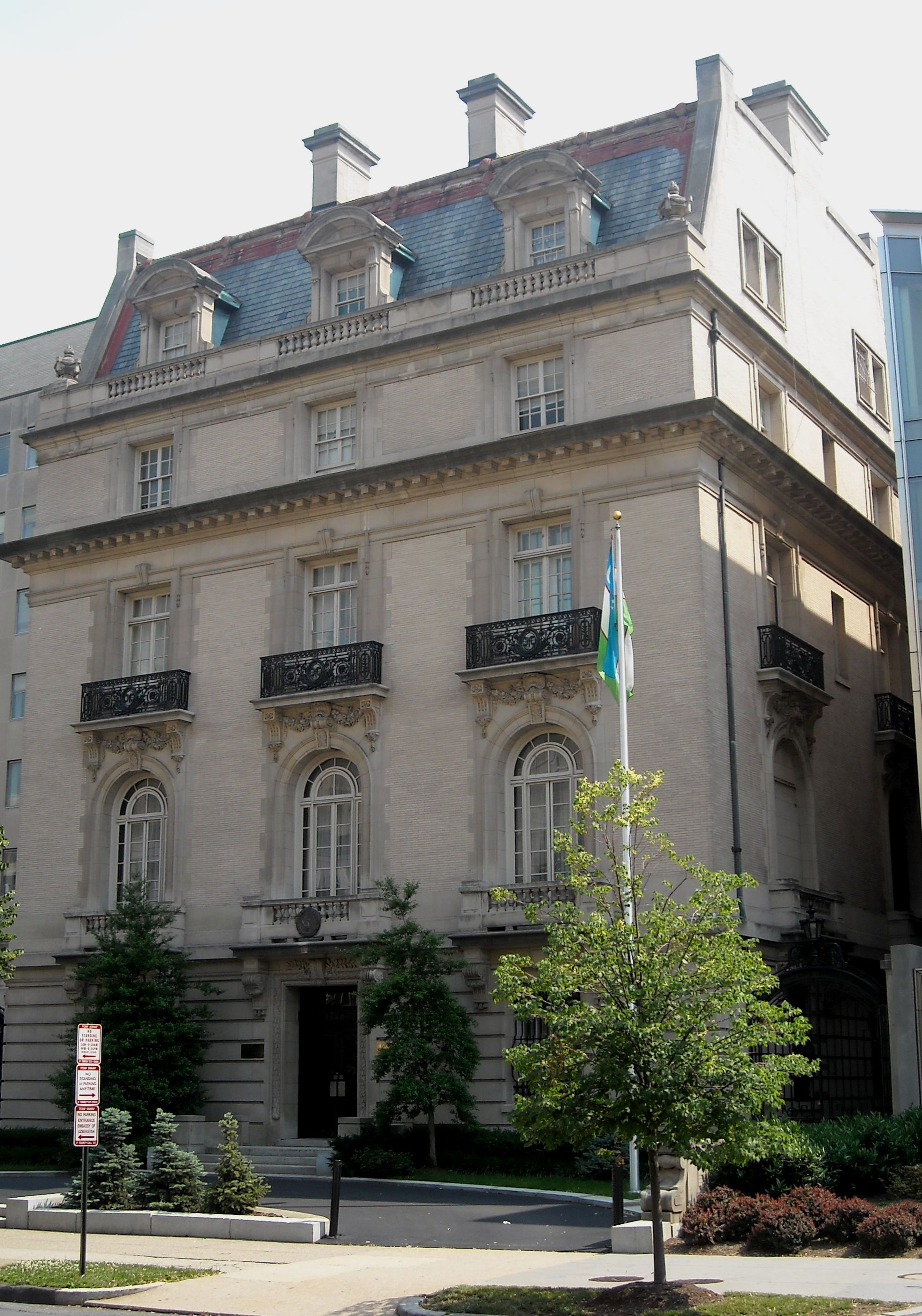
38°54′41″N 77°2′16″W / 38.91139°N 77.03778°WDupont Circle 25 Canadian Embassy 
April 3, 1973 1746 Massachusetts Ave., NW.
38°54′29.41″N 77°2′26.28″W / 38.9081694°N 77.0406333°WDupont Circle Now the Embassy of Uzbekistan; also known as the Clarence Moore House 26 Francis L. Cardozo Senior High School 
September 30, 1993 Jct. of 13th and Clifton Sts., NW.
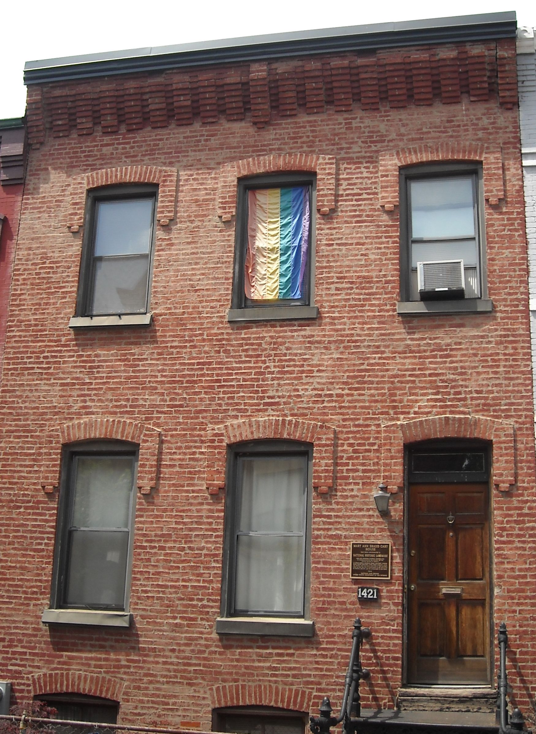
38°55′14″N 77°1′48″W / 38.92056°N 77.03°WColumbia Heights 27 Mary Ann Shadd Cary House 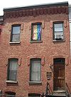
December 8, 1976 1421 W. St., NW
38°55′10″N 77°2′8″W / 38.91944°N 77.03556°WCardozo-Shaw 28 Civil War Monuments in Washington, DC 
September 20, 1978 Various parks within the original boundaries of city
38°54′26″N 77°02′12″W / 38.90722°N 77.03667°WVarious 18 statues about people and topics related to the Civil War, including 11 in central Washington, 6 in the NW quadrant, and 1 in Lincoln Park (NE & SE quadrants). 29 Clifton Terrace 
December 26, 2001 1308,1312,1350 Clifton St.
38°55′19″N 77°1′52″W / 38.92194°N 77.03111°WNW 30 Codman-Davis House 
October 11, 1979 2145 Decatur Pl., NW
38°54′48.86″N 77°2′54.07″W / 38.9135722°N 77.0483528°WKalorama Heights 31 Congressional Club 
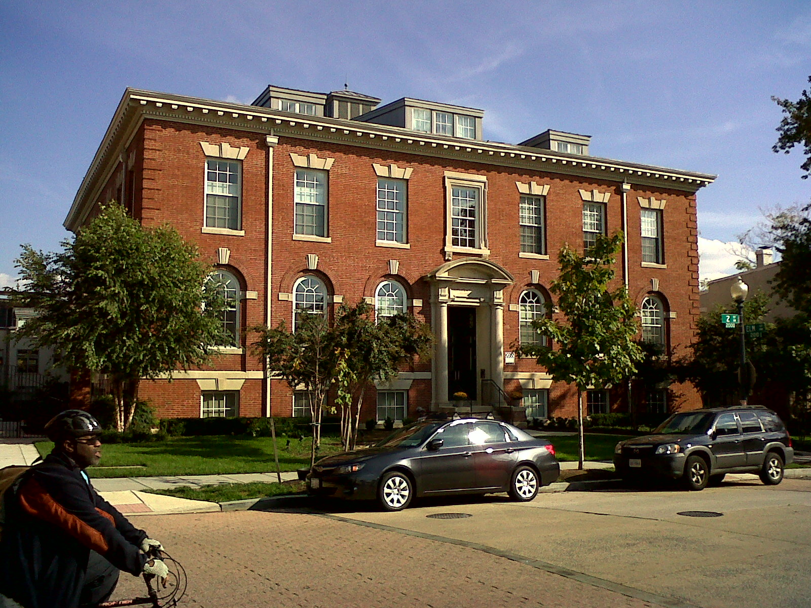
October 6, 2011 2001 New Hampshire Ave., NW
38°55′2″N 77°2′9″W / 38.91722°N 77.03583°WDupont Circle 32 Connecticut Avenue Bridge 
July 3, 2003 Connecticut Ave., NW of Rock Creek
38°55′16″N 77°3′2″W / 38.92111°N 77.05056°WKalorama Heights and Woodley Park Extends to both sides of Rock Creek 33 Cosmos Club 
April 3, 1973 2121 Massachusetts Ave., NW.
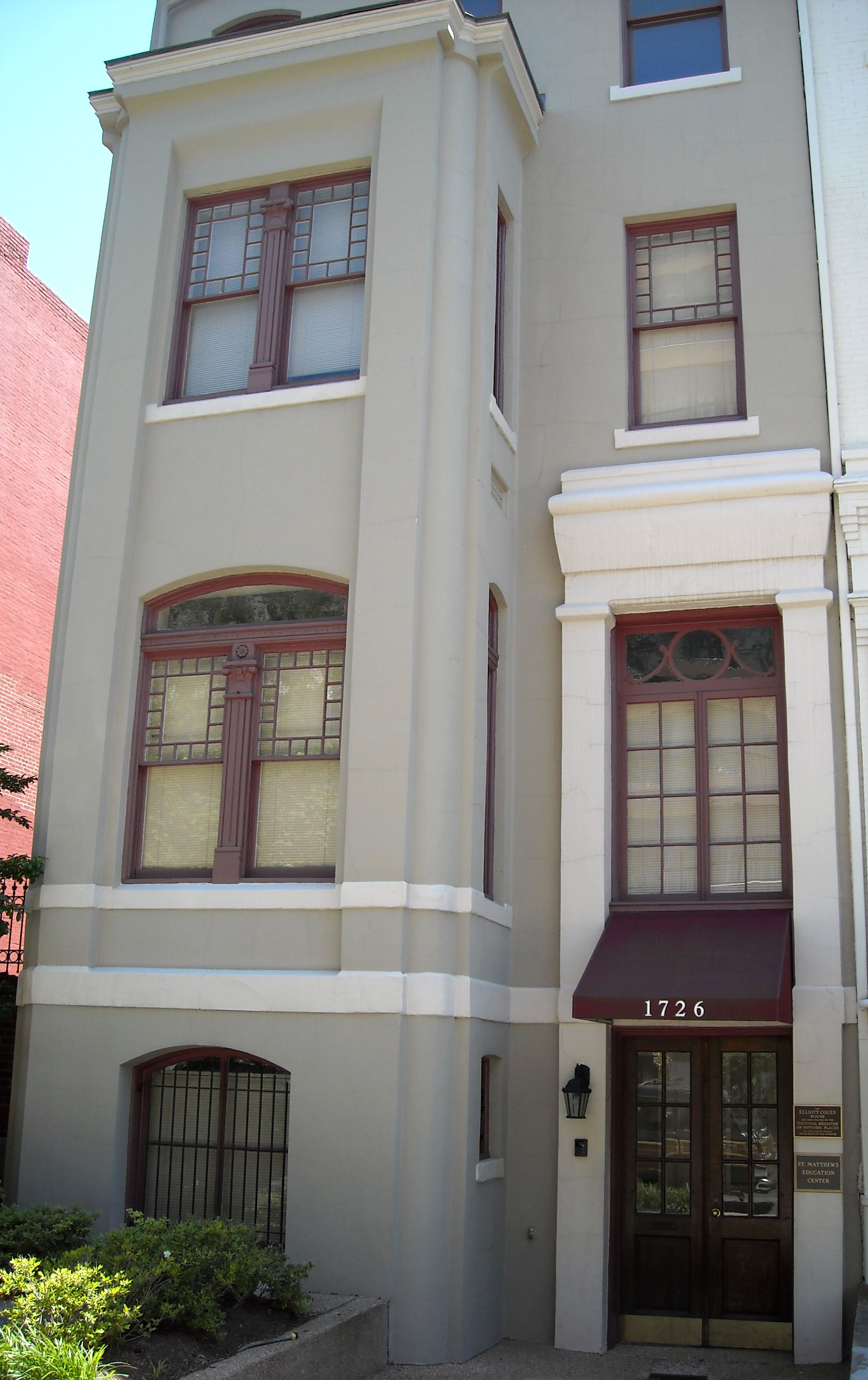
38°54′41″N 77°2′54″W / 38.91139°N 77.04833°WDupont Circle Also known as the Richard H. Townsend House 34 Elliott Coues House 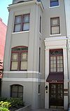
May 15, 1975 1726 N St., NW
38°54′25″N 77°2′24″W / 38.90694°N 77.04°WDupont Circle 35 Dupont Circle Historic District 
July 21, 1978 Roughly bounded by Florida and Rhode Island Aves., T, 17th, 21st, and 22nd Sts.
38°54′38″N 77°2′38″W / 38.91056°N 77.04389°WDupont Circle 36 Eighteen Hundred Block Park Road, NW 
November 15, 1978 1801-1869 Park Rd., NW.
38°55′57″N 77°2′35″W / 38.9325°N 77.04306°WMount Pleasant 37 Embassy Building No. 10 
November 6, 1986 3149 Sixteenth St. NW
38°55′52″N 77°2′11″W / 38.93111°N 77.03639°WColumbia Heights 38 Embassy Gulf Service Station 
September 30, 1993 2200 P St., NW.
38°54′33″N 77°2′59″W / 38.90917°N 77.04972°WDupont Circle 39 Engine Company 12 
June 6, 2007 1626 N. Capitol St., NW
38°54′43″N 77°0′35″W / 38.91194°N 77.00972°WBloomingdale 40 Engine Company 21 
June 27, 2007 1763 Lanier Place NW
38°55′34″N 77°2′31″W / 38.92611°N 77.04194°WLanier Heights 41 Engine Company 22 
May 18, 2011 5760 Georgia Ave., NW
38°57′36″N 77°1′42″W / 38.96°N 77.02833°WBrightwood Park Firehouses in Washington DC MPS 42 Euclid Apartments 
April 29, 2010 1740 Euclid St, NW
38°55′22.38″N 77°2′25.56″W / 38.9228833°N 77.0404333°WAdams Morgan 43 Evans-Tibbs House 
September 8, 1987 1910 Vermont Ave. NW
38°54′57″N 77°1′35″W / 38.91583°N 77.02639°WCardozo-Shaw 44 Fire Department Headquarters-Fire Alarm Headquarters May 18, 2011 300 McMillan Dr., NW.
38°55′24″N 77°0′47″W / 38.92333°N 77.01306°WBloomingdale Firehouses in Washington DC MPS 45 First African New Church 
January 29, 2009 2105-07 10th St., NW.
38°55′6″N 77°1′33″W / 38.91833°N 77.02583°WCardozo-Shaw 46 Fort View Apartments 
January 21, 2010 6000-6020 and 6030-6050 13th Place, N.W.
38°57′48.86″N 77°1′51.51″W / 38.9635722°N 77.030975°WBrightwood 47 Fourteenth Street Historic District 
November 9, 1994 Roughly bounded by S, 12th, N and 15th Sts., NW.
38°54′30″N 77°1′47″W / 38.90833°N 77.02972°WLogan Circle-Shaw 48 Fraser Mansion 
August 19, 1975 1701 20th St., NW.
38°54′46″N 77°2′42″W / 38.91278°N 77.045°WDupont Circle 49 Frelinghuysen University, Former Classroom Building 
November 6, 1995 1800 Vermont Ave., NW.
38°54′54″N 77°1′37″W / 38.915°N 77.02694°WCardozo-Shaw 50 Fuller House 
February 21, 1985 2317 Ashmead Pl., NW
38°55′8″N 77°2′53″W / 38.91889°N 77.04806°WAdams Morgan 51 Nathaniel Parker Gage School 
November 19, 2008 2035 2nd St., NW.
38°55′3.98″N 77°0′52.42″W / 38.9177722°N 77.0145611°WBloomingdale 52 Garden Club of America Entrance Marker at Georgia Avenue 
April 29, 2008 Georgia Ave. at Kalmia Rd. & Alaska Ave.
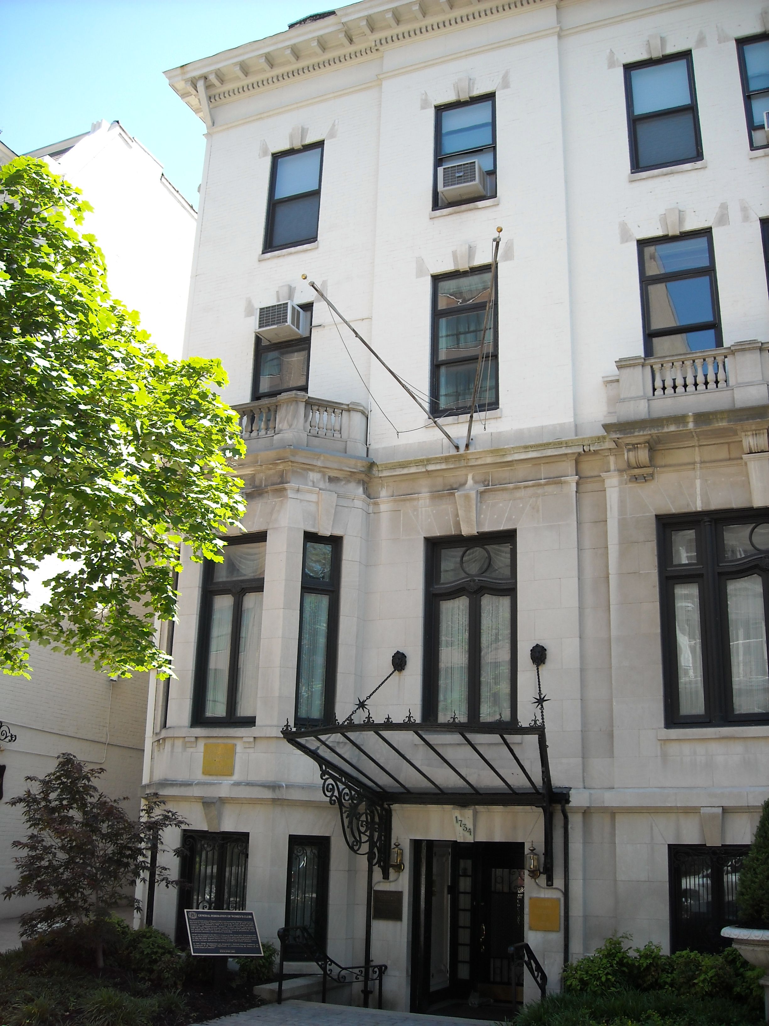
38°59′1.71″N 77°1′35.68″W / 38.9838083°N 77.0265778°WShepherd Park Garden Club of America Entrance Markers in Washington, D.C. MPS 53 General Federation of Women's Clubs Headquarters 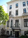
December 4, 1991 1734 N St., NW.
38°54′25″N 77°2′25″W / 38.90694°N 77.04028°WDupont Circle 54 James Cardinal Gibbons Memorial 
October 11, 2007 Reservation 309-G, 16th St. & Park Rd. NW.
38°55′59″N 77°2′11″W / 38.93306°N 77.03639°WMount Pleasant 55 Gladstone and Hawarden Apartment Buildings 
September 7, 1994 1419 and 1423 R St., NW.
38°54′46″N 77°1′59″W / 38.91278°N 77.03306°WLogan Circle-Shaw The Gladstone 56 Samuel Gompers House 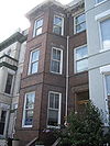
September 23, 1974 2122 1st St., NW
38°55′2″N 77°0′46″W / 38.91722°N 77.01278°WBloomingdale 57 Grace Reformed Church, Sunday School and Parish House 
April 18, 1991 1405 15th St., NW.
38°54′32″N 77°2′3″W / 38.90889°N 77.03417°WLogan Circle-Shaw 58 Greater U Street Historic District 
December 31, 1998 Roughly bounded by New Hampshire Ave., Florida Ave, 6th St., R St., and 16th St.
38°54′59″N 77°1′45″W / 38.91639°N 77.02917°WNW See U Street Corridor 59 Charlotte Forten Grimké House 
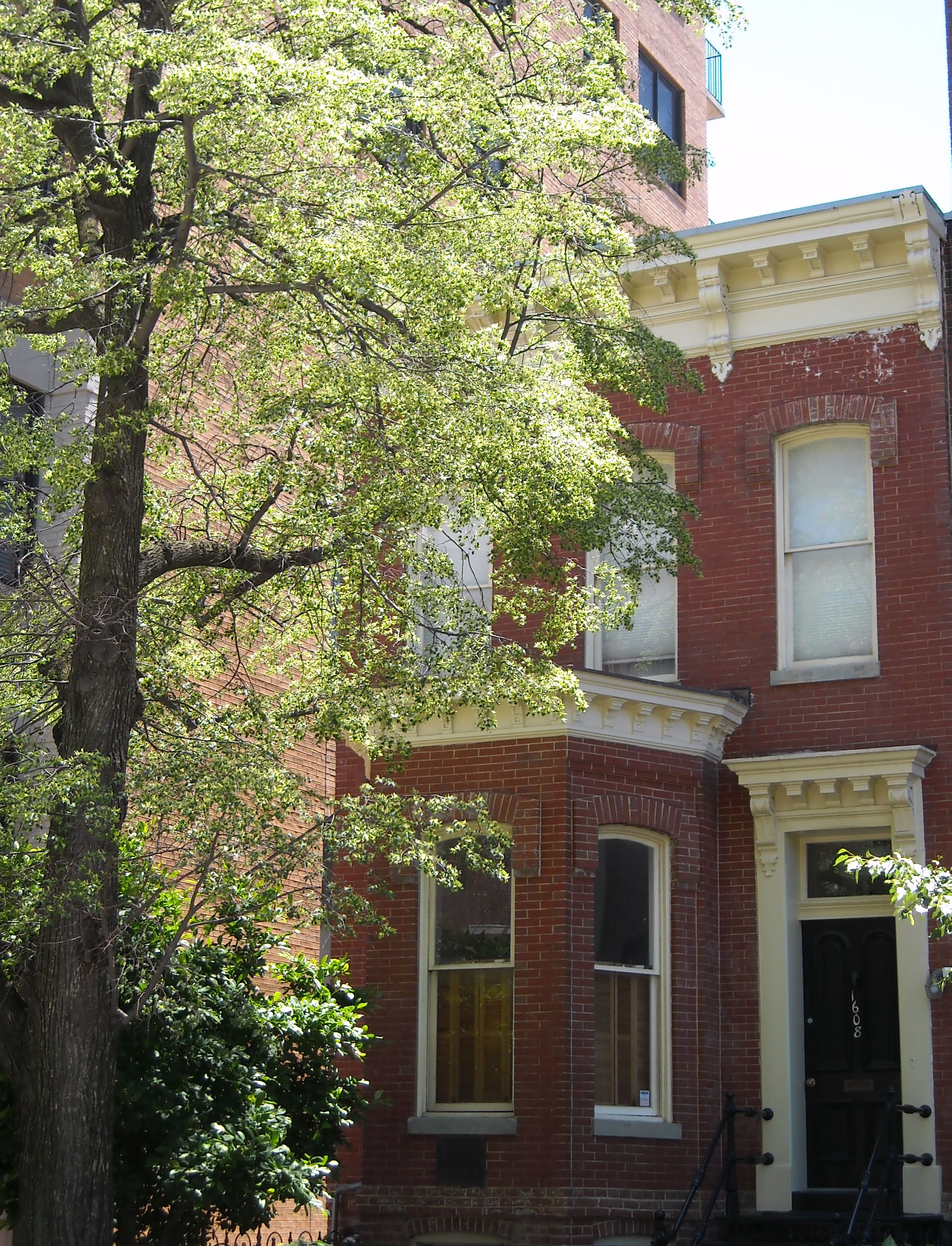
May 11, 1976 1608 R St., NW.
38°54′45″N 77°2′13″W / 38.9125°N 77.03694°WDupont Circle 60 Samuel Hahnemann Monument 
October 11, 2007 Reservation 64, Massachusetts & Rhode Island Aves. at Scott Cir. NW
38°54′33″N 77°2′10″W / 38.90917°N 77.03611°WGolden Triangle 61 Hampshire Garden Apartment Buildings 
September 9, 1994 4912 New Hampshire Ave., 208, 222, 236 and 250 Farragut St., 4915 3rd St. and 215, 225 and 235 Emerson St., NW.
38°57′2″N 77°0′53″W / 38.95056°N 77.01472°WBrightwood Park 62 Christian Heurich Mansion 
June 23, 1969 1307 New Hampshire Ave., NW.
38°54′29″N 77°2′40″W / 38.90806°N 77.04444°WGolden Triangle 63 Hilltop Manor 
July 26, 2007 3500 14th St., NW
38°56′4.58″N 77°1′59.58″W / 38.9346056°N 77.0332167°WColumbia Heights 64 Anthony Holmead Archeological Site 
April 27, 1995 1801 23rd St., NW
38°54′52.17″N 77°3′0.87″W / 38.9144917°N 77.0502417°WKalorama Heights 65 Holt House 
April 24, 1973 Adams Mill Rd. in the National Zoological Park
38°55′31″N 77°2′50″W / 38.92528°N 77.04722°WRock Creek Park 66 Josephine Butler Parks Center 
March 16, 1988 2437 Fifteenth St., NW
38°55′20″N 77°2′11″W / 38.92222°N 77.03639°WColumbia Heights Also known as the Old Hungarian Embassy 67 Howard Theatre 
February 15, 1974 620 T St., NW.
38°54′55″N 77°1′17″W / 38.91528°N 77.02139°WCardozo-Shaw 68 Charles Evans Hughes House 
November 28, 1972 2223 R St., NW
38°54′45″N 77°2′58″W / 38.9125°N 77.04944°WKalorama Heights 69 Immaculate Conception Church 
September 17, 2003 1315 8th St., NW
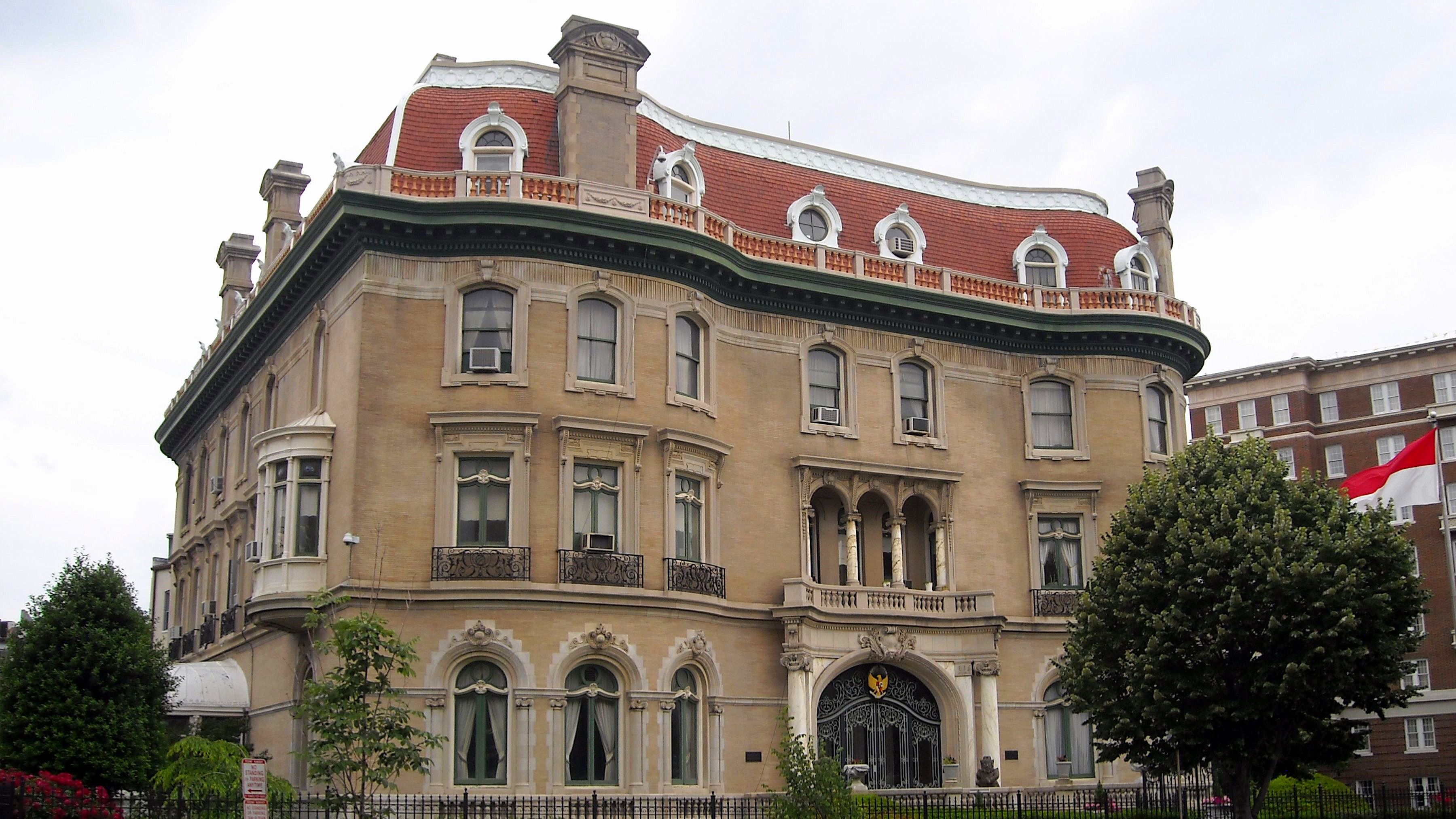
38°54′26″N 77°1′22″W / 38.90722°N 77.02278°WLogan Circle-Shaw 70 Indonesian Embassy 
January 18, 1973 2020 Massachusetts Ave., NW.
38°54′36″N 77°2′47″W / 38.91°N 77.04639°WDupont Circle Also known as the Walsh-McLean House 71 Ingleside 
January 8, 1987 1818 Newton St. NW
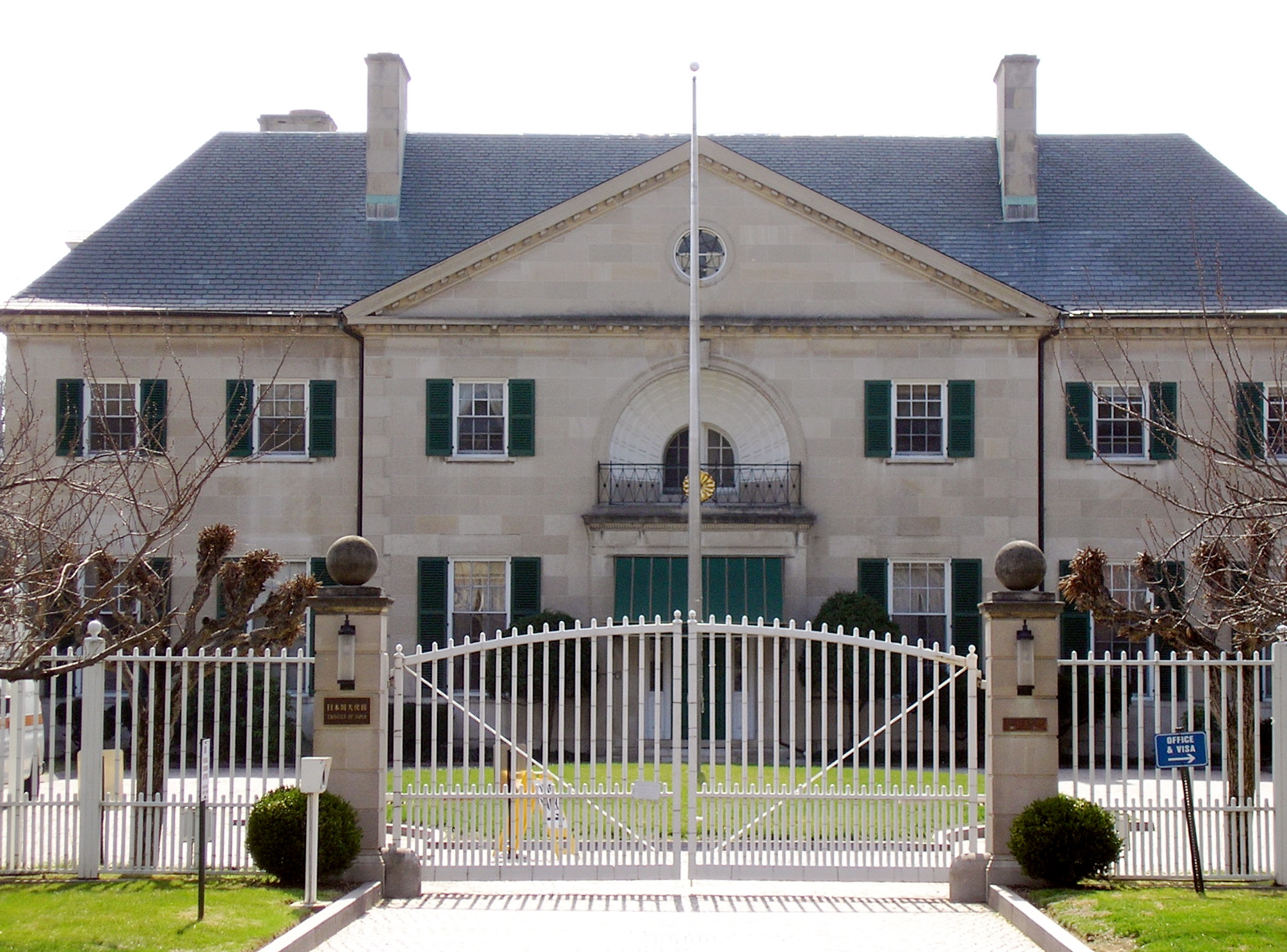
38°56′1″N 77°2′35″W / 38.93361°N 77.04306°WMount Pleasant 72 Japanese Embassy 
February 20, 1973 2520 Massachusetts Ave., NW.
38°54′54″N 77°3′23″W / 38.915°N 77.05639°WKalorama Heights 73 Kalorama Triangle Historic District 
May 4, 1987 Roughly bounded by Connecticut Ave., Columbia Rd., and Calvert St.
38°55′14″N 77°2′47″W / 38.92056°N 77.04639°WKalorama Heights 74 Lafayette Apartment Building 
September 7, 1994 1605-1607 7th St., NW.
38°54′42″N 77°1′18″W / 38.91167°N 77.02167°WLogan Circle-Shaw 75 LeDroit Park Historic District 
February 25, 1974 Bounded roughly by Florida and Rhode Island Aves., 2nd and Elm Sts., Howard University
38°54′57″N 77°1′3″W / 38.91583°N 77.0175°WNW 76 Edward Simon Lewis House 
July 23, 1973 456 N St., NW.
38°54′25.18″N 77°1′4.8″W / 38.9069944°N 77.018°WLogan Circle-Shaw 77 Lincoln Industrial Mission-Lincoln Memorial Congregational Church 
February 24, 1995 1701 11th St., NW.
38°54′47″N 77°1′36″W / 38.91306°N 77.02667°WLogan Circle-Shaw 78 Lincoln Theatre 
October 27, 1993 1215 U St. NW
38°55′1″N 77°1′46″W / 38.91694°N 77.02944°WCardozo-Shaw 79 The Lindens 
June 4, 1969 2401 Kalorama Rd., NW.
38°55′6″N 77°3′13″W / 38.91833°N 77.05361°WKalorama Heights 80 Logan Circle Historic District 
June 30, 1972 Jct. of Rhode Island and Vermont Aves.
38°54′35″N 77°1′49″W / 38.90972°N 77.03028°WLogan Circle-Shaw 81 Henry Wadsworth Longfellow Memorial 
October 11, 2007 Reservation 150, Connecticut Ave., M & 18th Sts. NW.
38°54′28″N 77°2′30″W / 38.90778°N 77.04167°WGolden Triangle 82 Lothrop Mansion 
December 20, 1988 2001 Connecticut Ave.
38°55′1″N 77°2′48″W / 38.91694°N 77.04667°WAdams Morgan 83 Luther Place Memorial Church 
July 16, 1973 1226 Vermont Ave., NW. (Thomas Circle)
38°54′25″N 77°1′56″W / 38.90694°N 77.03222°WLogan Circle-Shaw 84 Manhattan Laundry 
November 21, 1994 1326-1346 Florida Ave., NW.
38°55′12″N 77°1′54″W / 38.92°N 77.03167°WCardozo-Shaw 85 Mansion at 2401 15th St., NW 
January 28, 1991 2401 15th St., NW.
38°55′18″N 77°2′6″W / 38.92167°N 77.035°WColumbia Heights Also known as Meridian Hall 86 Guglielmo Marconi Memorial 
October 12, 2007 Reservation 309A, 16th & Lamont Sts. NW
38°55′56″N 77°2′13″W / 38.93222°N 77.03694°WMount Pleasant 87 Mary McLeod Bethune Council House National Historic Site 
October 15, 1982 1318 Vermont Ave., NW
38°54′27″N 77°1′52″W / 38.9075°N 77.03111°WLogan Circle-Shaw 88 Massachusetts Avenue Historic District 
October 22, 1974 Both sides of Massachusetts Ave. between 17th St. and Observatory Circle, NW
38°54′50″N 77°3′6″W / 38.91389°N 77.05167°WDupont Circle, Kalorama Heights and Woodland-Normanstone Terrace 89 McCormick Apartments 
April 3, 1973 1785 Massachusetts Ave., NW
38°54′33″N 77°2′30″W / 38.90917°N 77.04167°WDupont Circle Also known as the Andrew Mellon Building 90 Meeting House of the Friends Meeting of Washington 
September 6, 1990 2111 Florida Ave., NW.
38°54′46″N 77°2′52″W / 38.91278°N 77.04778°WKalorama Heights 91 Meridian Hill Park 
October 25, 1974 Bounded by 16th, Euclid, 15th, and W Sts., NW.
38°55′16″N 77°2′10″W / 38.92111°N 77.03611°WColumbia Heights 92 Meridian House 
May 8, 1973 1630 Crescent Pl., NW.
38°55′13″N 77°2′18″W / 38.92028°N 77.03833°WAdams Morgan 93 Meridian Manor 
March 29, 2001 1424 Chapin St., NW
38°55′17″N 77°1′59″W / 38.92139°N 77.03306°WColumbia Heights 94 Meridian Mansions 
July 28, 1983 2400 16th St. NW
38°55′17″N 77°2′13″W / 38.92139°N 77.03694°WAdams Morgan 95 Military Road School 
July 25, 2003 1375 Missouri Ave., NW
38°57′43″N 77°1′58″W / 38.96194°N 77.03278°WBrightwood 96 Miner Normal School 
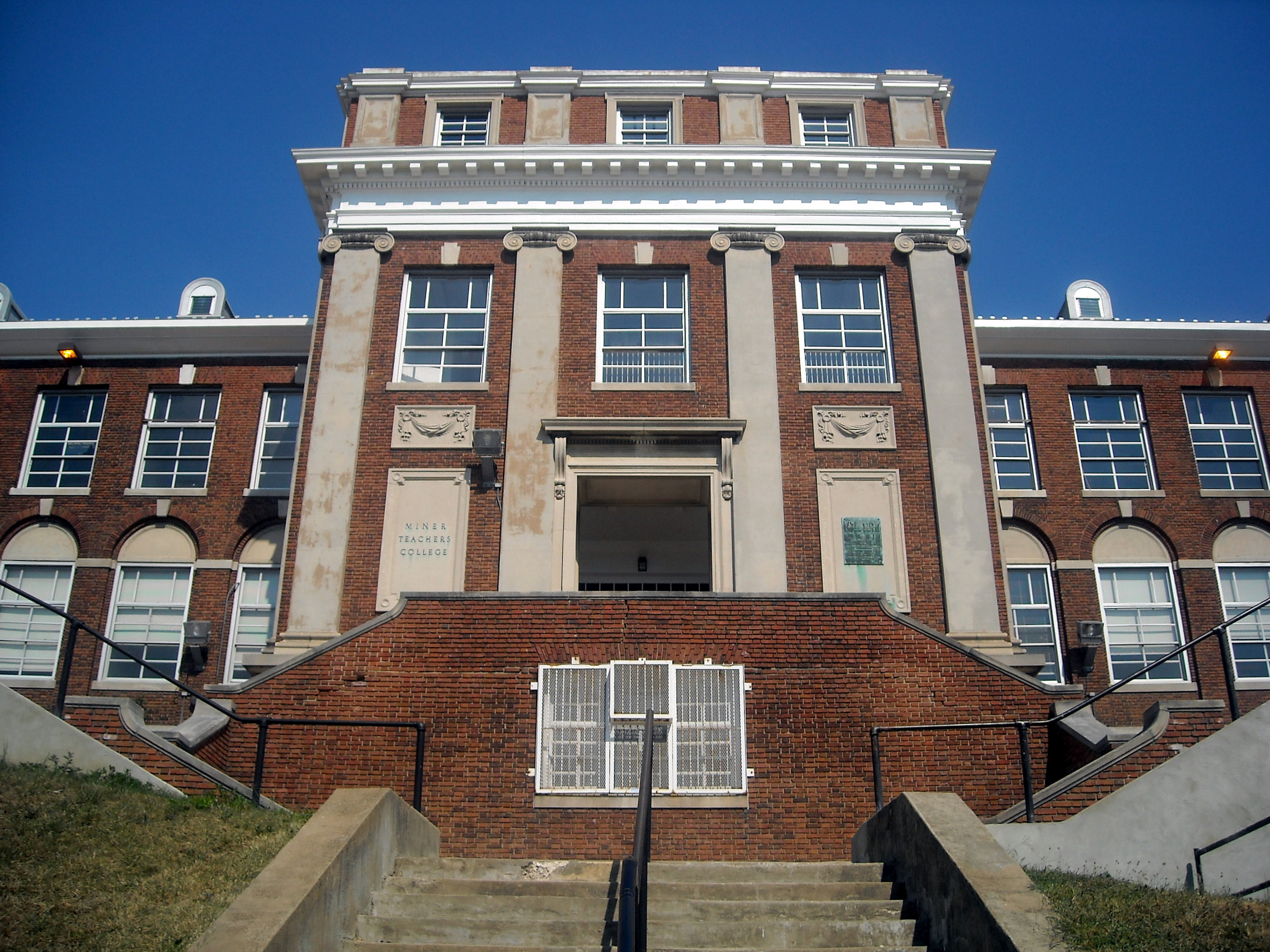
October 11, 1991 2565 Georgia Ave., NW.
38°55′24″N 77°1′21″W / 38.92333°N 77.0225°WHoward University 97 Mount Pleasant Historic District 
October 5, 1987 Roughly bounded by Sixteenth & Harvard Sts., Rock Creek Church Rd., & Adams Mill Rd.
38°55′53″N 77°2′22″W / 38.93139°N 77.03944°WNW 98 Mount Vernon Square Historic District 
September 3, 1999 Roughly bounded by New York Ave., 7th St., N St., and 1st St. NW
38°54′19″N 77°1′4″W / 38.90528°N 77.01778°WMount Vernon Square Extends to both sides of M Street 99 Mount Vernon West Historic District 
September 9, 1999 Roughly bounded by Rhode Island Ave., 6th St., Massachusetts Ave., and Vermont Ave.
38°54′26″N 77°1′34″W / 38.90722°N 77.02611°WNW Extends to both sides of M Street 100 Northumberland Apartments 
March 25, 1980 2039 New Hampshire Ave., NW
38°55′4″N 77°2′9″W / 38.91778°N 77.03583°WDupont Circle 101 Northeast No. 2 Boundary Marker of the Original District of Columbia 
November 1, 1996 6980 Maple Ave., NW
38°58′32″N 77°0′53″W / 38.97556°N 77.01472°WNW 102 O Street Market 
April 28, 1995 1400 7th St., NW.
38°54′31″N 77°1′11″W / 38.90861°N 77.01972°WLogan Circle-Shaw 103 Olympia Apartments 
June 9, 2003 1368 Euclid St. NW
38°55′24.73″N 77°1′54.06″W / 38.9235361°N 77.0316833°WColumbia Heights 104 General Oliver Otis Howard House 
February 12, 1974 607 Howard Pl.
38°55′23″N 77°1′20″W / 38.92306°N 77.02222°WNW 105 Thomas Nelson Page House 
September 5, 1975 1759 R St., NW.
38°54′46″N 77°2′28″W / 38.91278°N 77.04111°WDupont Circle 106 Park Tower 
October 30, 1989 2440 Sixteenth St., NW.
38°55′19″N 77°2′14″W / 38.92194°N 77.03722°WAdams Morgan 107 W. H. Penland & Company 
December 29, 1994 1211-1219 13th St., NW.
38°54′22″N 77°1′45″W / 38.90611°N 77.02917°WLogan Circle-Shaw Also known as Proctor Alley Livery Stable and Mount Vernon Stables 108 Frances Perkins House 
July 17, 1991 2326 California St., NW.
38°54′55″N 77°3′7″W / 38.91528°N 77.05194°WKalorama Heights 109 Petworth Gardens 
November 10, 2008 124, 126, 128, and 130 Webster St., NW.
38°56′38.8″N 77°0′47.31″W / 38.944111°N 77.0131417°WPetworth 110 Duncan Phillips House 
August 14, 1973 1600-1614 21st St., NW.
38°54′40″N 77°2′51″W / 38.91111°N 77.0475°WDupont Circle 111 Pierce-Klingle Mansion 
October 10, 1973 3545 Williamsburg Lane, NW
38°56′18″N 77°3′0″W / 38.93833°N 77.05°WCleveland Park 112 Pink Palace 
August 5, 1991 2600 16th St., NW.
38°55′23″N 77°2′13″W / 38.92306°N 77.03694°WAdams Morgan 113 The Plymouth 
June 2, 1986 1236 Eleventh St. NW
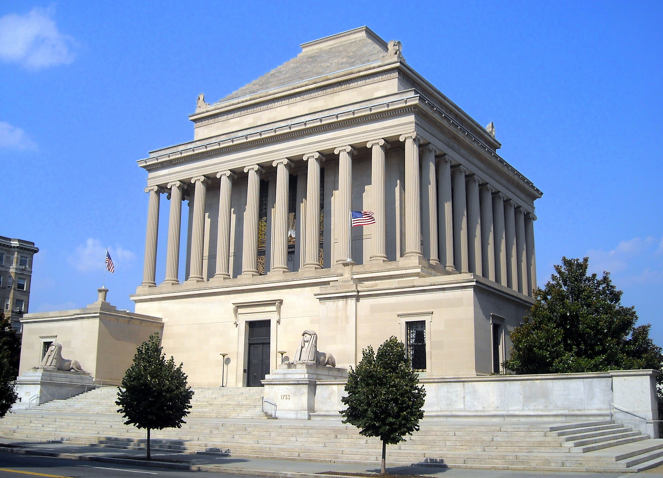
38°54′23″N 77°1′39″W / 38.90639°N 77.0275°WLogan Circle-Shaw 114 Prince Hall Masonic Temple 
September 15, 1983 1000 U St., NW
38°55′0″N 77°1′35″W / 38.916667°N 77.02639°WCardozo-Shaw 115 Zalmon Richards House 
October 15, 1966 1301 Corcoran St., NW
38°54′42″N 77°1′49″W / 38.91167°N 77.03028°WLogan Circle-Shaw 116 Riggs-Tompkins Building 
January 5, 1987 1403-1405 and 1413 Park Rd. NW and 3300, 3306-3316, 3328, and 3336 Fourteenth St. NW
38°55′50″N 77°1′59″W / 38.93056°N 77.03306°WColumbia Heights 117 Rock Creek and Potomac Parkway Historic District 
May 4, 2005 Rock Creek and Potomac Parkway
38°54′47″N 77°3′16″W / 38.91306°N 77.05444°WNW Extends to both sides of Rock Creek 118 Rock Creek Church Yard and Cemetery 
August 12, 1977 Webster St. and Rock Creek Church Rd., NW.
38°56′52″N 77°0′47″W / 38.94778°N 77.01306°WFort Totten See Rock Creek Cemetery 119 Rock Creek Park Historic District 
October 23, 1991 Roughly, Rock Creek Park from Klingle Rd. to Montgomery County line
38°57′27″N 77°2′42″W / 38.9575°N 77.045°WNW See Rock Creek Park. Extends to both sides of Rock Creek. 120 St. Luke's Episcopal Church 
May 11, 1976 15th and Church Sts., NW
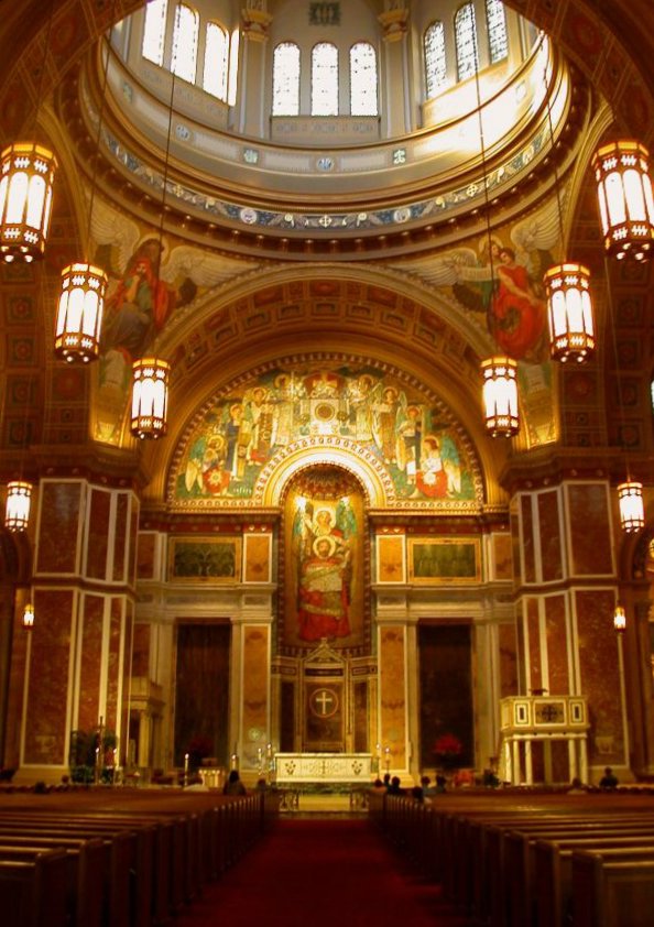
38°54′36″N 77°2′7″W / 38.91°N 77.03528°WDupont Circle NHL - First independent black Episcopal parish in Washington 121 St. Matthew's Cathedral and Rectory 
January 24, 1974 1725-1739 Rhode Island Ave., NW.
38°54′22″N 77°2′24″W / 38.90611°N 77.04°WGolden Triangle 122 St. Paul's Episcopal Church 
March 16, 1972 Rock Creek Church Rd. and Webster St., NW.
38°56′49″N 77°0′44″W / 38.94694°N 77.01222°WFort Totten 123 Seventh Street Savings Bank 
September 17, 2003 1300 7th St. NW
38°54′26″N 77°1′20″W / 38.90722°N 77.02222°WLogan Circle-Shaw 124 Shaw Junior High School 
December 22, 2008 7th St., and Rhode Island Ave., NW
38°54′44.11″N 77°1′18.93″W / 38.9122528°N 77.021925°WLogan Circle-Shaw 125 Sheridan-Kalorama Historic District 
October 30, 1989 Roughly bounded by Rock Creek Park, Connecticut Ave., NW., Florida Ave., NW., 22nd St., NW., and P St., NW.
38°54′56″N 77°3′6″W / 38.91556°N 77.05167°WKalorama Heights 126 Billy Simpson's House of Seafood and Steaks 
March 17, 2009 3815 Georgia Avenue, NW
38°56′17.45″N 77°1′27.36″W / 38.9381806°N 77.0242667°WPetworth 127 Sixteenth Street Historic District 
August 25, 1978 16th St. between Scott Cir. and Florida Ave. NW
38°54′46″N 77°2′13″W / 38.91278°N 77.03694°WDupont Circle 128 Southern Aid Society-Dunbar Theater Building 
November 6, 1986 1901-1903 Seventh St. NW
38°54′56″N 77°1′19″W / 38.91556°N 77.02194°WCardozo-Shaw 129 Spencer Carriage House and Stable 
August 29, 1996 2123 Twining Crt., NW
38°54′33″N 77°2′53″W / 38.90917°N 77.04806°WDupont Circle 130 Strivers' Section Historic District 
February 6, 1985 Roughly bounded by New Hampshire and Florida Aves., 17th and 18th Sts. along T, U, and Willard Sts. NW
38°55′0″N 77°2′26″W / 38.916667°N 77.04056°WDupont Circle 131 Studio House 
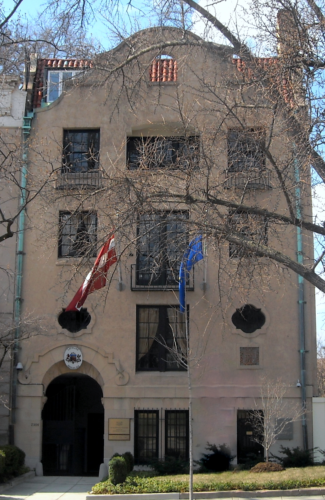
April 27, 1995 2306 Massachusetts Ave., NW.
38°54′43″N 77°3′5″W / 38.91194°N 77.05139°WKalorama Heights 132 Sulgrave Club 
December 5, 1972 1801 Massachusetts Ave., NW.
38°54′34″N 77°2′32″W / 38.90944°N 77.04222°WDupont Circle Also known as Herbert Wadsworth House 133 Charles Sumner School 
December 20, 1979 17th and M Sts., NW
38°54′21″N 77°2′18″W / 38.90583°N 77.03833°WGolden Triangle 134 Takoma Park Historic District 
June 30, 1983 Roughly bounded by DC/MD boundary, 7th, Piney Branch, Aspen, and Fern Sts.
38°58′31″N 77°1′11″W / 38.97528°N 77.01972°WTakoma 135 Tenth Precinct Station House 
November 10, 1986 750 Park Rd. NW
38°55′54″N 77°1′31″W / 38.93167°N 77.02528°WColumbia Heights 136 Mary Church Terrell House 
May 15, 1975 326 T St., NW
38°54′56″N 77°1′0″W / 38.91556°N 77.016667°WLe Droit Park 137 Third Baptist Church 
November 26, 2008 1546 5th St., NW.
38°54′38.38″N 77°1′9.25″W / 38.9106611°N 77.0192361°WLogan Circle-Shaw 138 Alma Thomas House 
July 28, 1987 1530 Fifteenth St. NW
38°54′39″N 77°2′6″W / 38.91083°N 77.035°WDupont Circle 139 Tivoli Theatre 
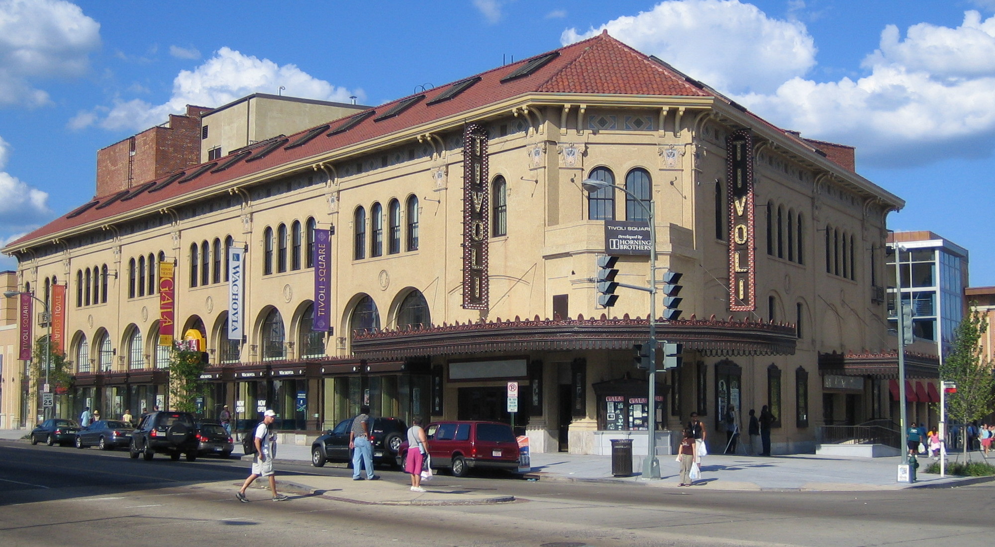
April 10, 1985 3301-3325 14th St. NW
38°55′50″N 77°2′39″W / 38.93056°N 77.04417°WColumbia Heights 140 Trinity Towers 
December 26, 2001 3023 14th St., NW
38°55′41″N 77°1′57″W / 38.92806°N 77.0325°WColumbia Heights 141 Truck Company F 
June 6, 2007 1336-1338 Park Rd. NW
38°55′49″N 77°1′54″W / 38.93028°N 77.03167°WColumbia Heights 142 True Reformer Building 
January 9, 1989 1200 U St., NW
38°55′0″N 77°1′43″W / 38.916667°N 77.02861°WCardozo-Shaw 143 Tucker House and Myers House 
August 14, 1973 2310-2320 S St., NW.
38°54′50″N 77°3′7″W / 38.91389°N 77.05194°WKalorama Heights 144 U.S. Soldiers' and Airmen's Home 
February 11, 1974 Rock Creek Church Rd., NW
38°56′27″N 77°0′44″W / 38.94083°N 77.01222°WPark View 145 United States Daughters of 1812, National Headquarters 
December 12, 1997 1461 Rhode Island Ave., NW
38°54′30″N 77°2′2″W / 38.90833°N 77.03389°WLogan Circle-Shaw 146 Walsh Stable 
November 6, 1986 1511 (rear) 22nd St. NW
38°54′36″N 77°2′54″W / 38.91°N 77.04833°WDupont Circle 147 Warder-Totten House 
April 14, 1972 2633 16th St., NW.
38°55′26″N 77°2′10″W / 38.92389°N 77.03611°WColumbia Heights 148 Wardman Row 
July 27, 1984 1416-1440 R St. NW
38°54′44″N 77°2′2″W / 38.91222°N 77.03389°WLogan Circle-Shaw 149 Washington Club 
December 5, 1972 15 Dupont Circle, NW.
38°54′36″N 77°2′33″W / 38.91°N 77.0425°WDupont Circle Also known as Patterson House 150 Washington Heights Historic District 
September 27, 2006 Bounded by Columbia Rd., NW, 19th St. NW, 18th St. NW and Florida Ave. NW
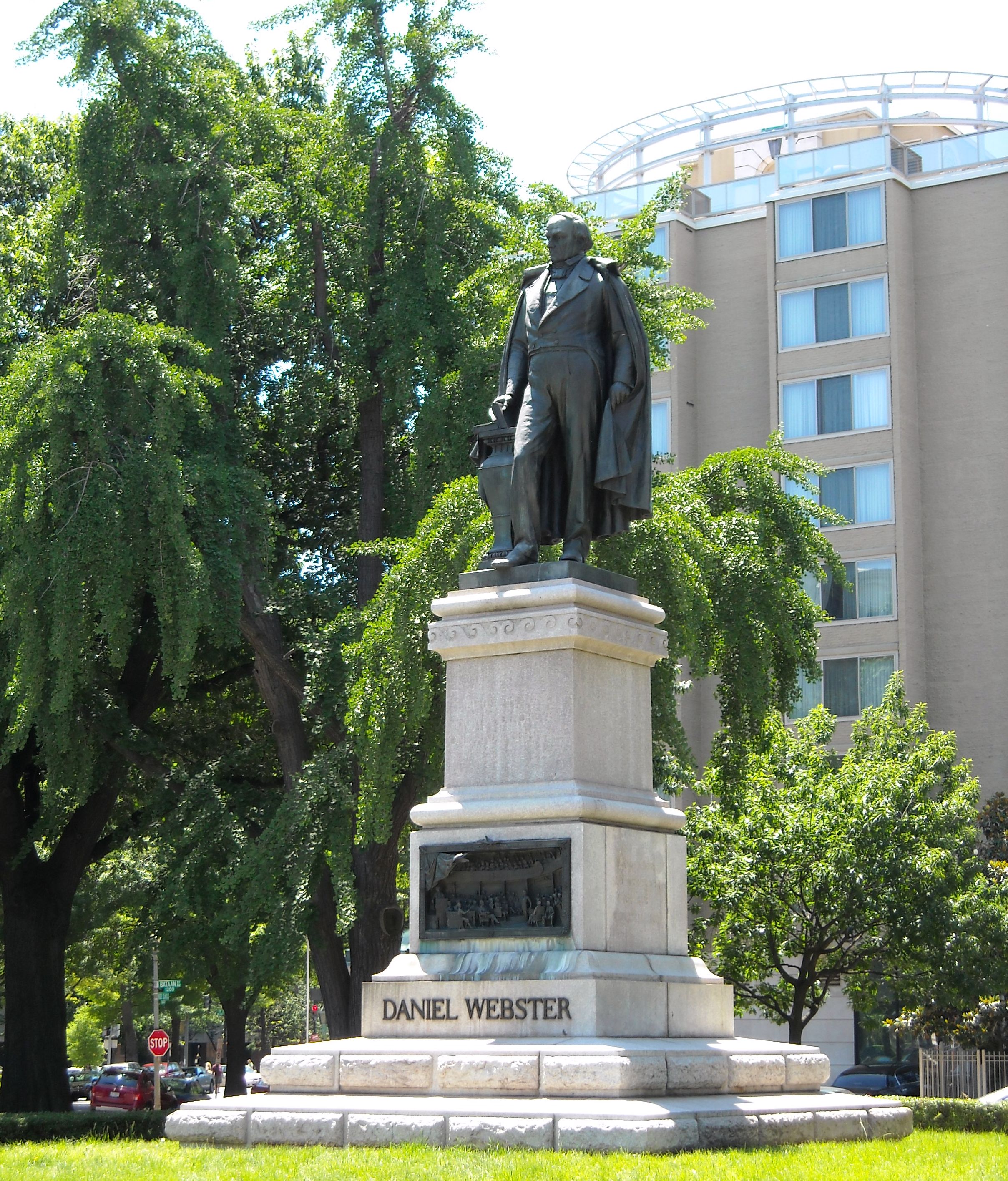
38°56′47″N 77°2′22″W / 38.94639°N 77.03944°WAdams Morgan 151 Daniel Webster Memorial 
October 12, 2007 Reservation 62, Massachusetts & Rhode Island Aves. at Scott Cir. NW
38°54′33″N 77°2′15″W / 38.90917°N 77.0375°WNW 152 Phillis Wheatley YWCA 
October 6, 1983 901 Rhode Island Ave. NW
38°54′42″N 77°1′28″W / 38.91167°N 77.02444°W 38°54′42″N 77°1′28″WLogan Circle-Shaw 153 David White House 
January 7, 1976 1459 Girard St., NW
38°55′32″N 77°2′4″W / 38.92556°N 77.03444°WColumbia Heights 154 White-Meyer House 
January 20, 1988 1624 Crescent Pl., NW
38°55′10″N 77°2′22″W / 38.91944°N 77.03944°WAdams Morgan 155 Whitelaw Hotel 
July 14, 1993 1839 13th St. NW
38°54′54″N 77°1′48″W / 38.915°N 77.03°WCardozo-Shaw 156 Whittemore House 
July 16, 1973 1526 New Hampshire Ave., NW.
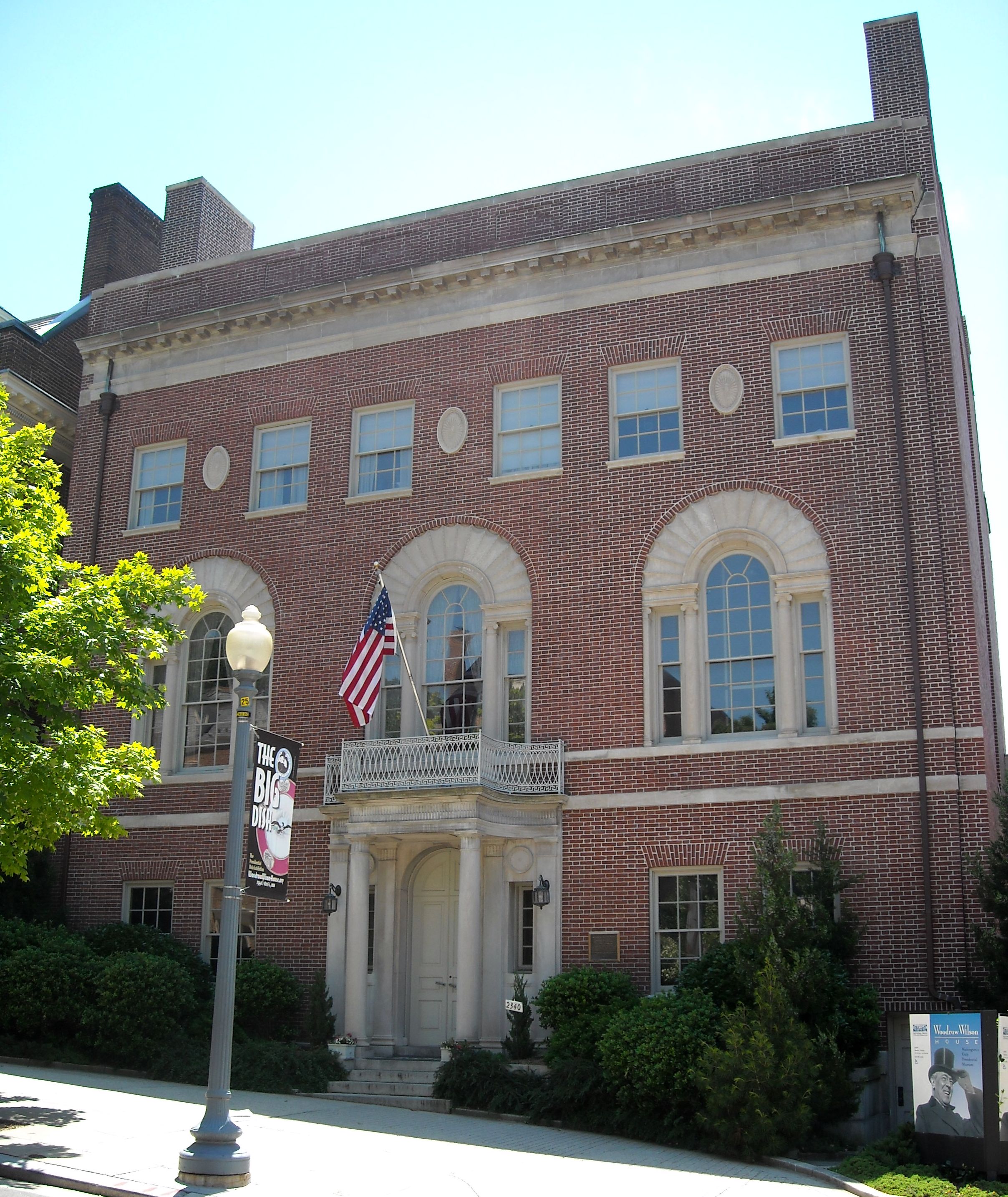
38°54′39″N 77°2′35″W / 38.91083°N 77.04306°WDupont Circle 157 Woodrow Wilson House 
October 15, 1966 2340 S St., NW
38°54′49″N 77°3′8″W / 38.91361°N 77.05222°WKalorama Heights 158 Windsor Lodge 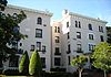
December 8, 1976 2139-2141 Wyoming Ave., NW
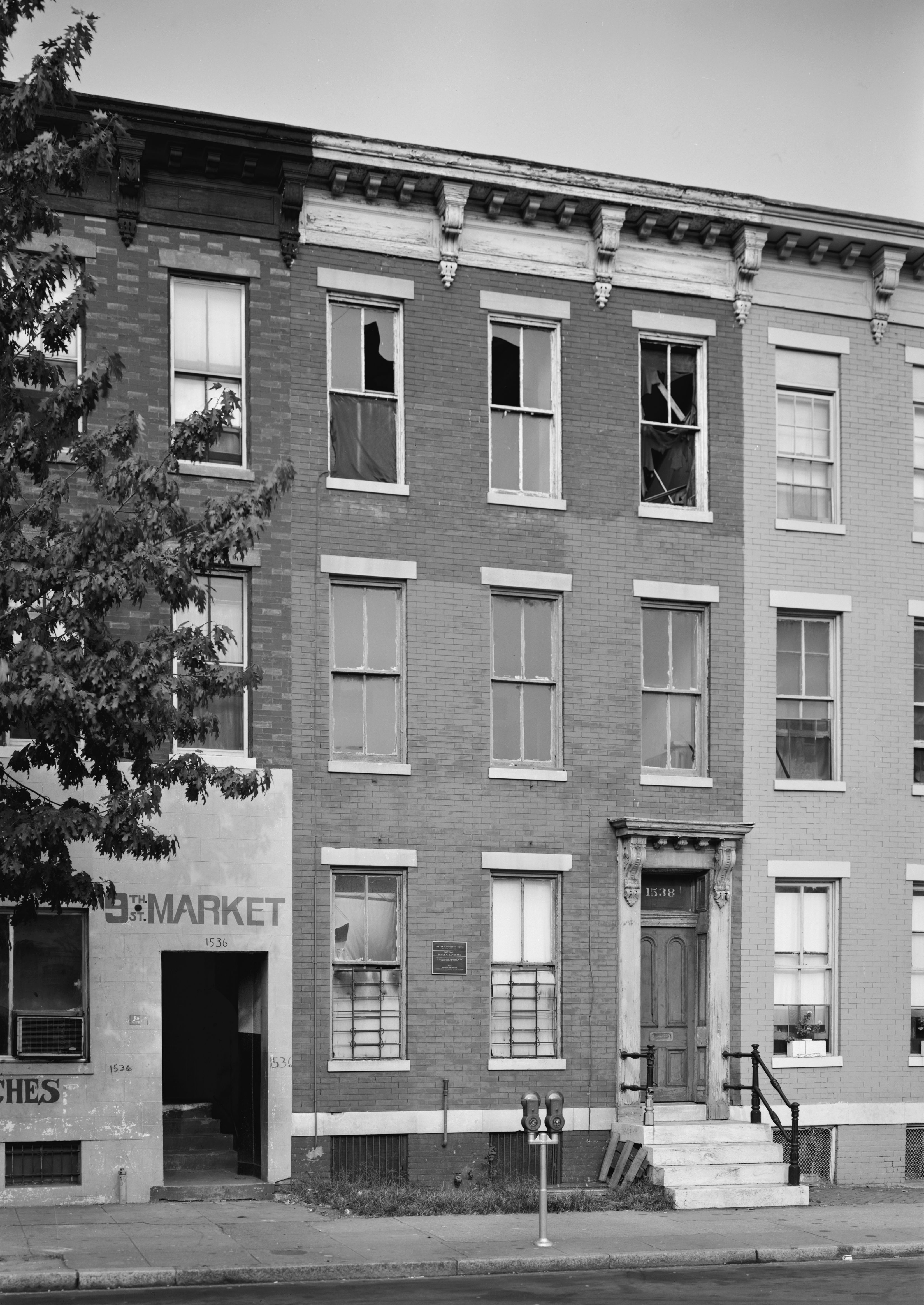
38°55′3″N 77°2′57″W / 38.9175°N 77.04917°WKalorama Heights 159 Carter G. Woodson House 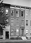
May 11, 1976 1538 9th St., NW
38°54′36″N 77°1′27″W / 38.91°N 77.02417°WLogan Circle-Shaw 160 Robert Simpson Woodward House 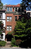
January 7, 1976 1513 16th St., NW
38°54′32″N 77°2′11″W / 38.90889°N 77.03639°WDupont Circle Home of geologist Robert Simpson Woodward 161 Wyoming Apartments 
September 27, 1983 2022 Columbia Rd., NW
38°55′2″N 77°2′45″W / 38.91722°N 77.04583°WAdams Morgan References
- ^ "National Register of Historic Places: Weekly List Actions". National Park Service, United States Department of the Interior. Retrieved on November 10, 2011.
Categories:- National Register of Historic Places in Washington, D.C.
-


Wikimedia Foundation. 2010.