- Mount Cline
-
Mount Cline 
Mount Cline, Alberta, CanadaElevation 3,361 m (11,027 ft) [1] Prominence 1,196 m (3,924 ft) [2] Location Location in Alberta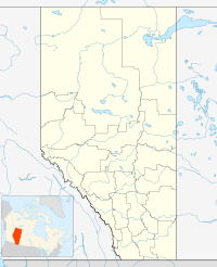
 Mount Cline
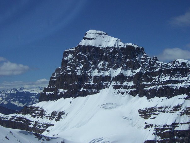
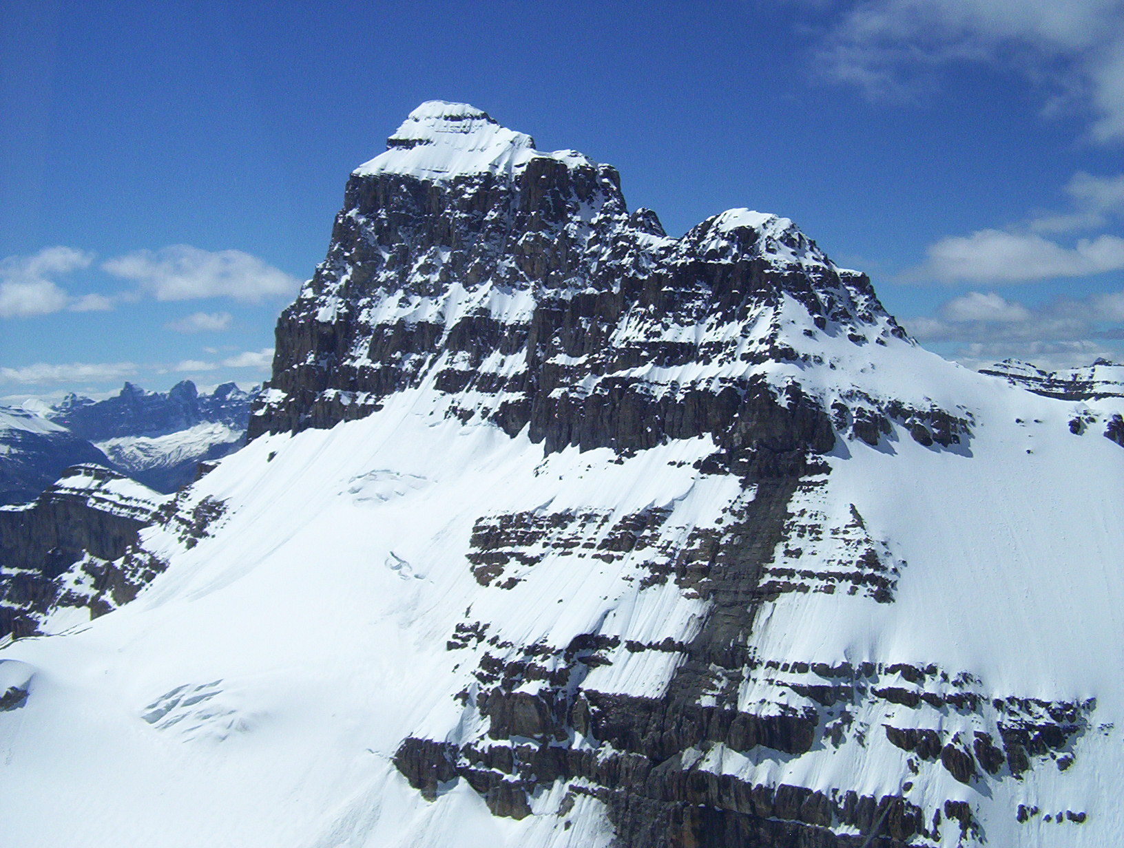
Location Alberta, Canada Range Cline Range[3] Coordinates 52°04′15″N 116°41′00″W / 52.07083°N 116.6833333°WCoordinates: 52°04′15″N 116°41′00″W / 52.07083°N 116.6833333°W[1] Topo map NTS 83C/02 Climbing First ascent 1927 by J. H. Barnes, A. L. Castle, A. L. Castle Jr., Jimmy Simpson, guided by Rudolph Aemmer[1] Mount Cline is a mountain in western Alberta, Canada, 11 km (7 mi) north of Saskatchewan Crossing, 60 km (37 mi) southwest of Nordegg.[2]
The mountain is located in the North Saskatchewan River Valley, 2 km (1 mi) west of Resolute Mountain.[1] It was named in 1898 by J. Norman Collie, after Michel Klyne (also called Michael Cline), French Canadian postmaster of Jasper House from 1824 to 1835.[1]
 Mount Cline, Alberta, Canada
References
- ^ a b c d e "Mount Cline". PeakFinder.com. http://peakfinder.com/peakfinder.asp?PeakName=Mount+Cline. Retrieved 2011-03-29.
- ^ a b "Mount Cline". Bivouac.com. http://www.bivouac.com/MtnPg.asp?MtnId=336. Retrieved 2011-03-29.
- ^ "Cline Range". Peakbagger.com. http://www.peakbagger.com/range.aspx?rid=141243. Retrieved 2011-03-29.
Categories:- Mountains of Alberta
- Alberta geography stubs

Wikimedia Foundation. 2010.