- Minto railway station
-
 Minto
Minto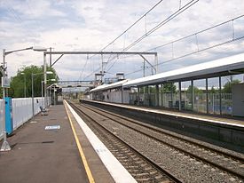
South Line Cumberland Line Airport & East Hills Line Station code MIO Suburb Minto Street(s) Somerset Street Distance from Central Station 49.67 km Altitude (above sea level) 43.6 m Types of stopping trains Suburban all stops Number of platforms 2 Number of tracks 2 Platform arrangement 2 Side Type of station Ground Ticket barriers No Transfers available Bus Disabled access 
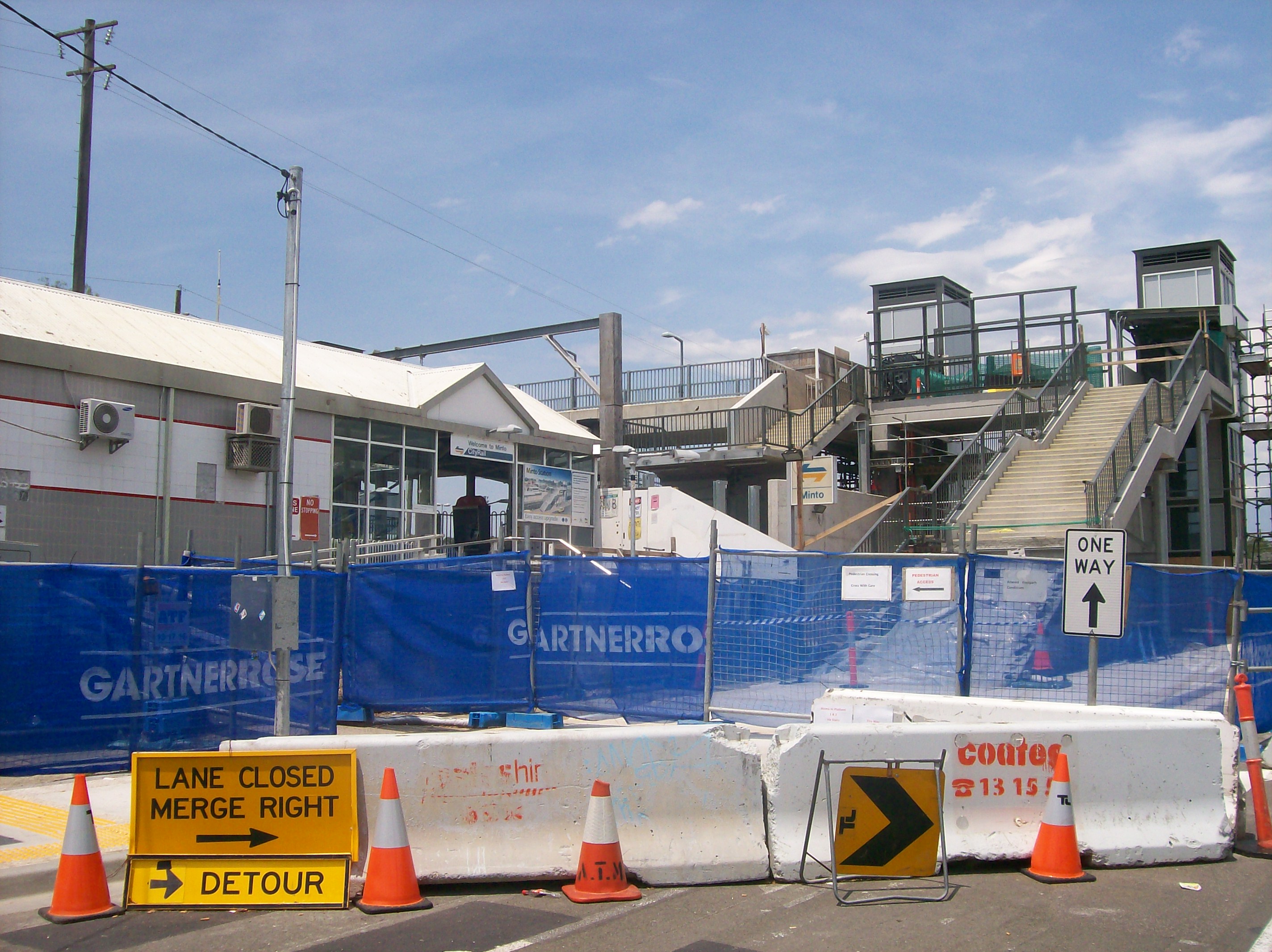
Yes (Assisted) Station facilities Link Minto is a railway station in the south-western suburbs of Sydney and is situated on the Main South Line. It is served by CityRail trains of the South, Cumberland and East Hills lines.[1] It serves a residential area, and consists two side platforms. It has been in use since 1874.[2] The station has street access to both platforms, connected by a ramp - providing limited Easy Access for wheelchairs. The Southern Sydney Freight Line will pass by the western side of the station. As part of the construction work, Minto will receive a full easy access upgrade with lifts to the platforms.
Contents
Platforms and services
The station is served by four trains per hour (not evenly spaced) for most of the time, two each on the South and East Hills lines. There are additional trains during weekday peak hours. The Cumberland line operates only during weekday peak hours.
Platform Line Stopping Pattern Notes 
South Line all stations and limited stops services to the City Circle via Granville selected services operate via the Bankstown and Inner West lines Cumberland Line all stations services to Blacktown via Parramatta one weekday morning peak services continues west to Quakers Hill, does not operate on weekends Airport & East Hills Line all stations and limited stops services to the City Circle via East Hills selected peak services run via Sydenham, rather than the Airport 
South Line all stations services to Campbelltown selected services operate via the Bankstown and Inner West lines Cumberland Line all stations services to Campbelltown one weekday afternoon peak services starts from Quakers Hill, does not operate on weekends Airport & East Hills Line all stations services to Campbelltown and Macarthur selected peak services run via Sydenham, rather than the Airport Freight
An Inland port is located south of Minto station. It consists of a crossover and a siding.[citation needed] Because there are no facilities for locomotives to change ends of the train, the container trains must have engines at both ends. This is sometimes called Top and tail.
Transport links
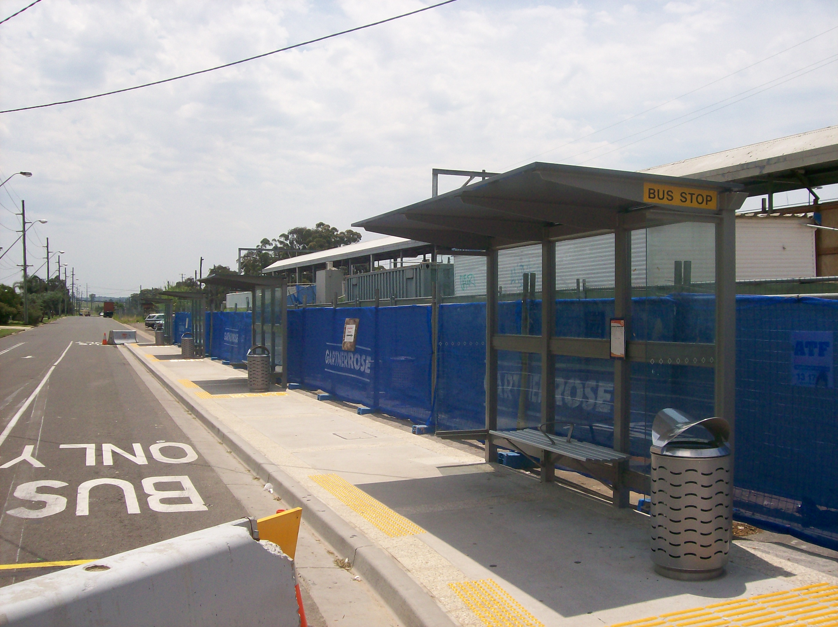
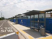 Bus stop on west side of station
Interline Buses and Busabout:
- 850 - to Catherine Field
- 873 - to Ingleburn
- 874 - to Raby
- 875 - to St Andrews and Bow Bowing
- 880 - to Kearns, Eagle Vale, Claymore and Campbelltown
- N30 - Between Macarthur station and City (Town Hall)
Gallery
-
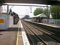
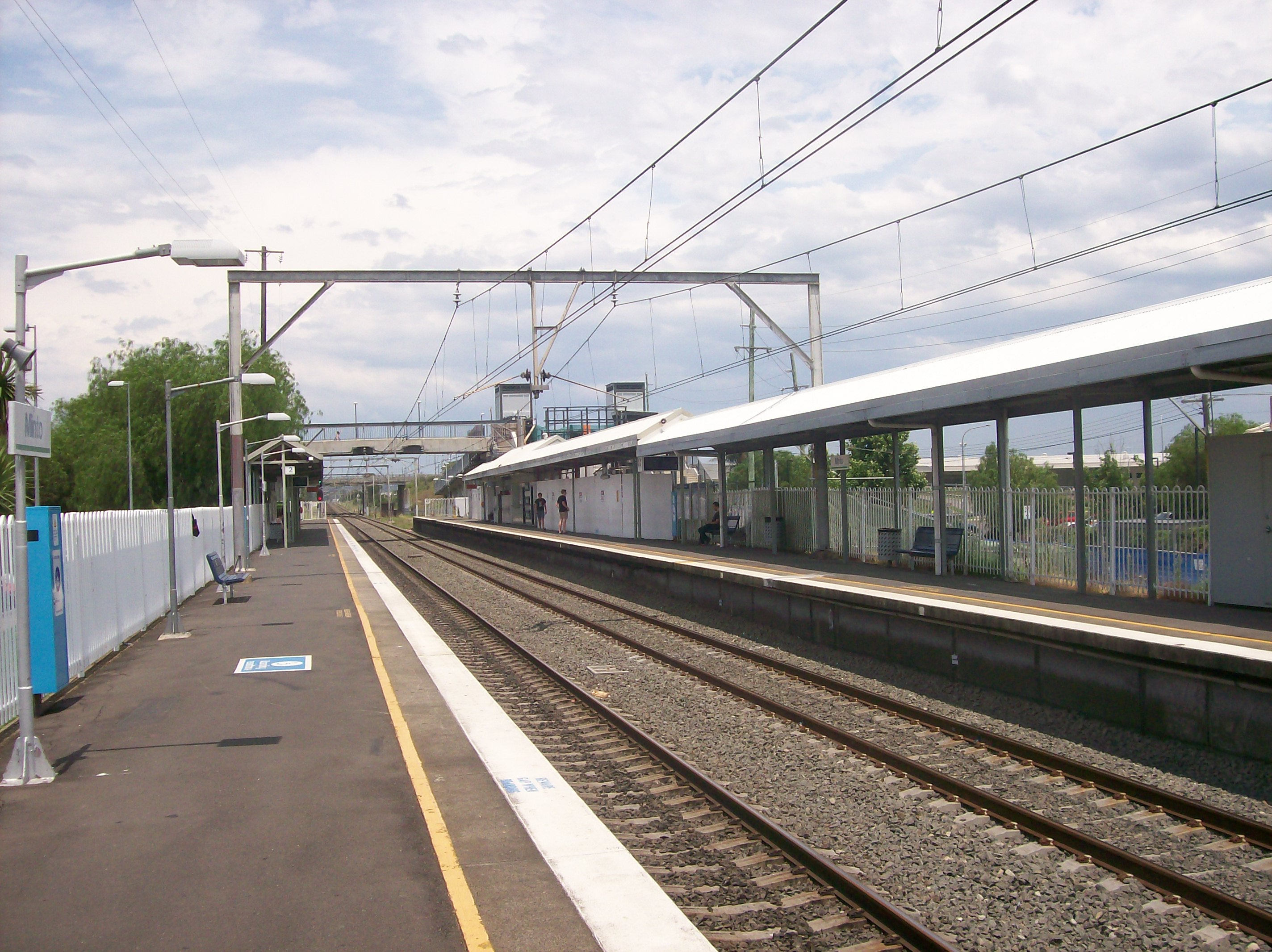
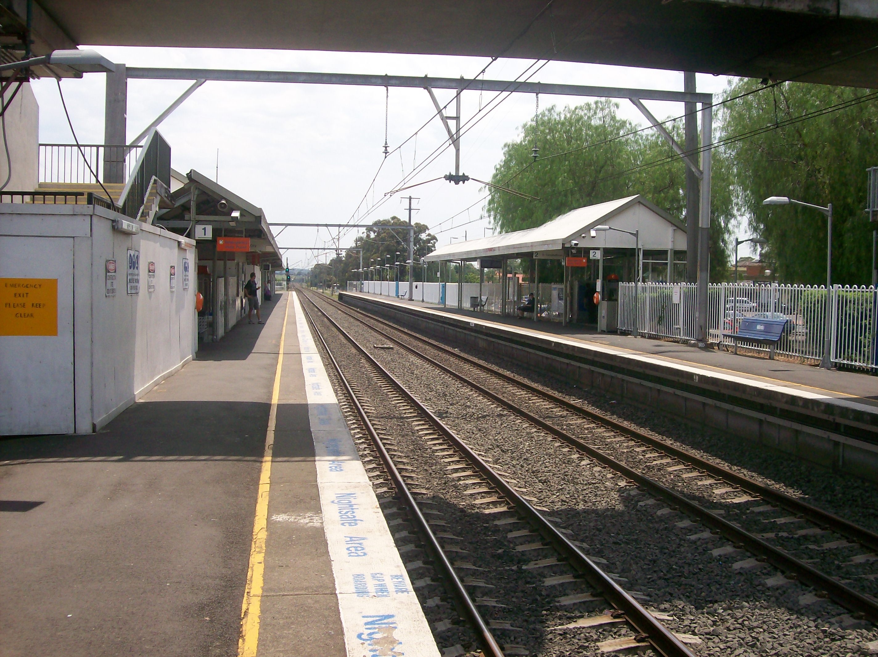
Platform 1
-

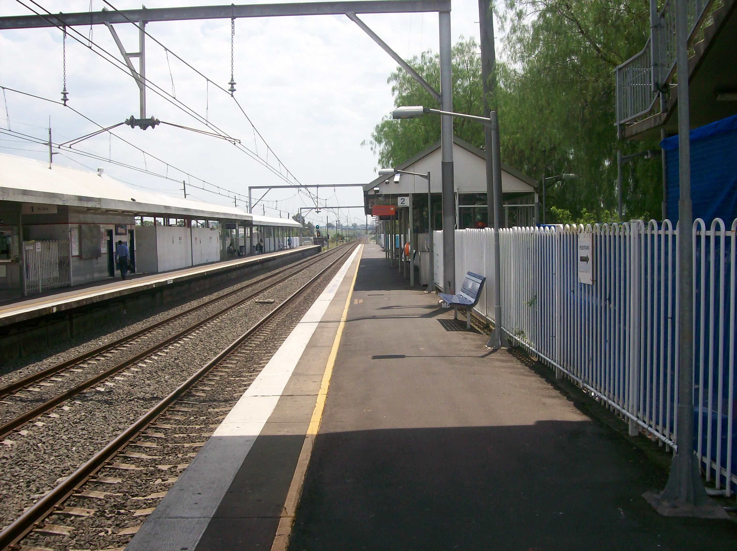
Platform 2
-

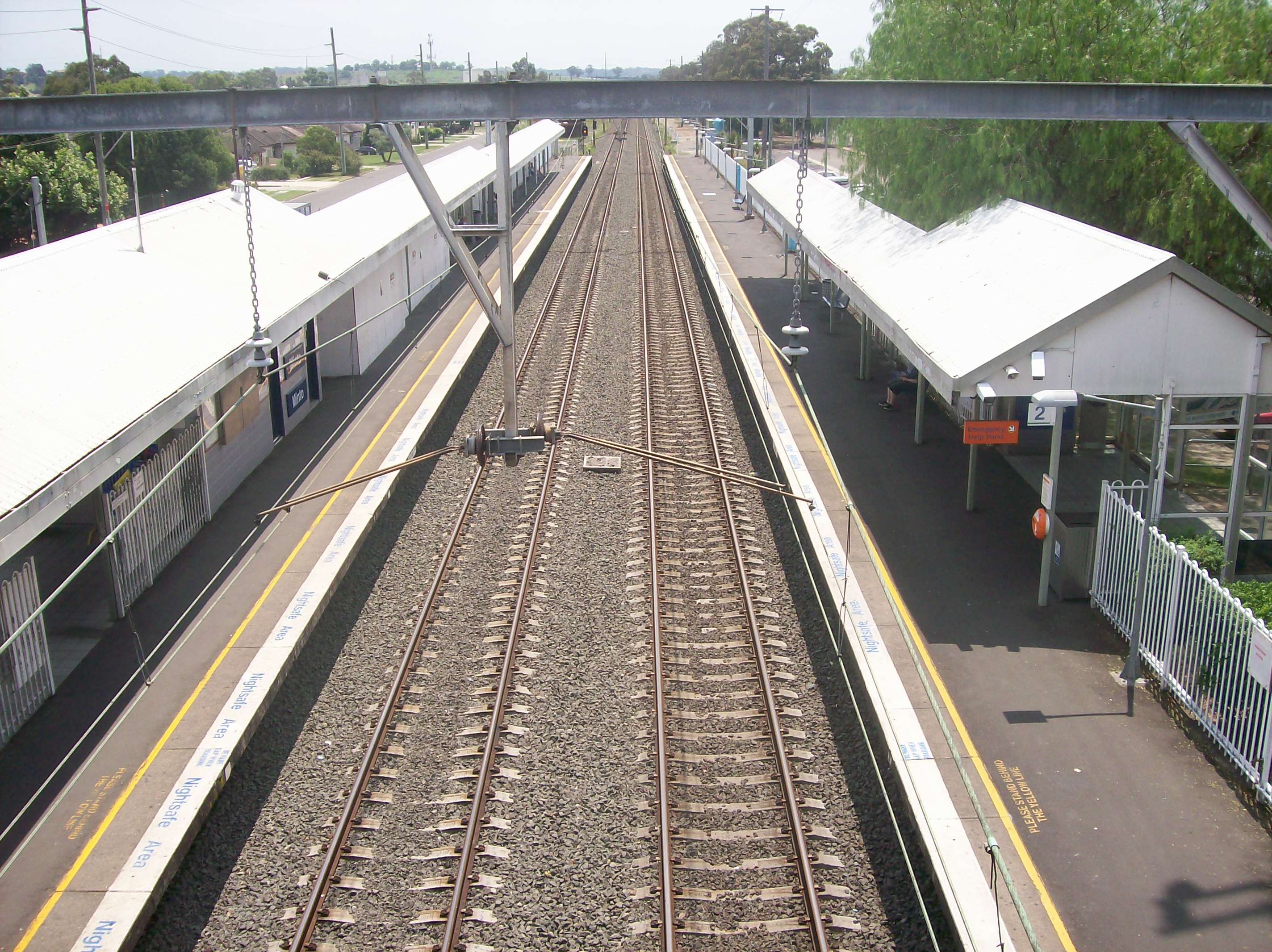
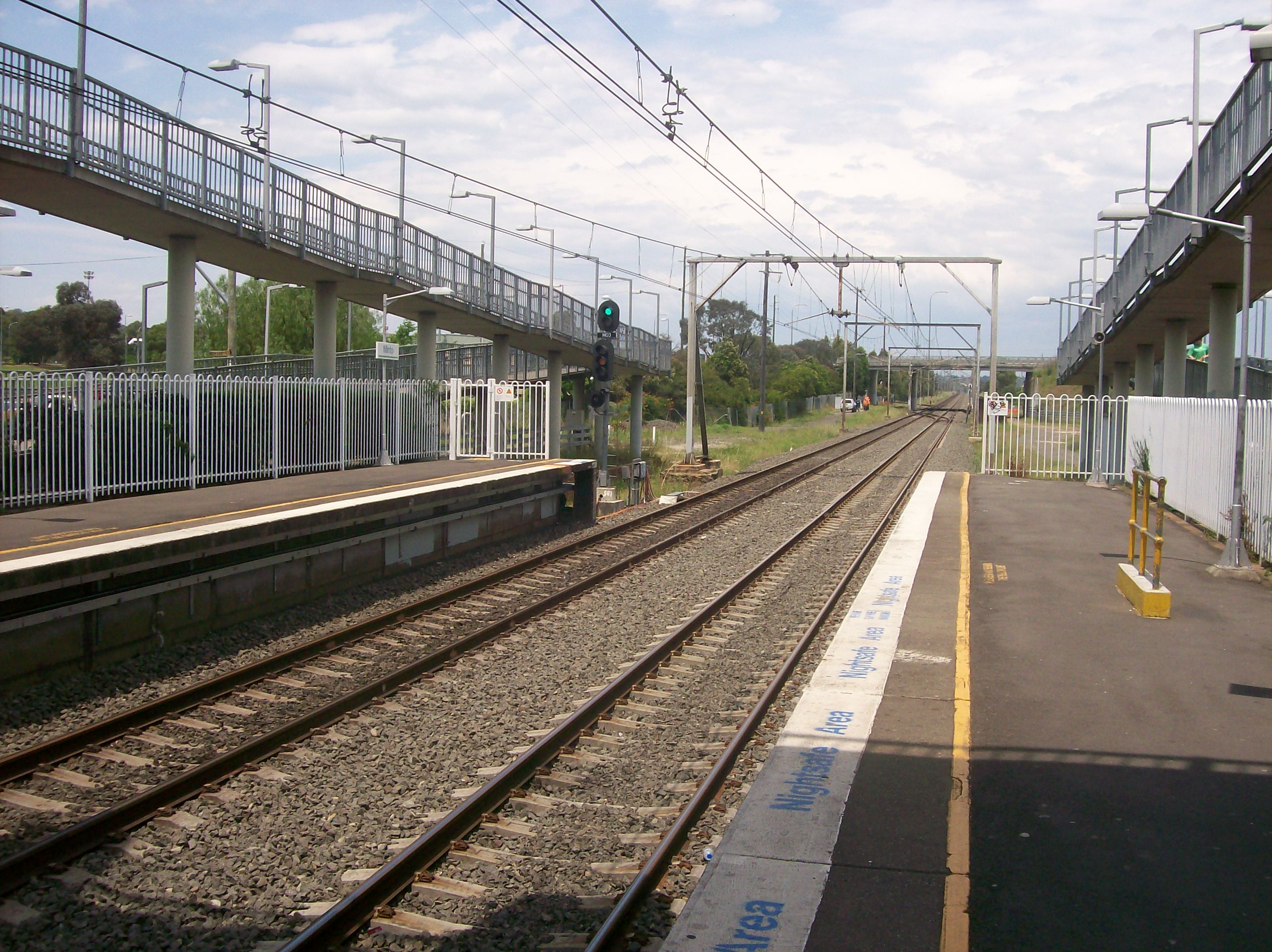
Looking north on platforms from footbridge
-

Platform 1 waiting area and building
-

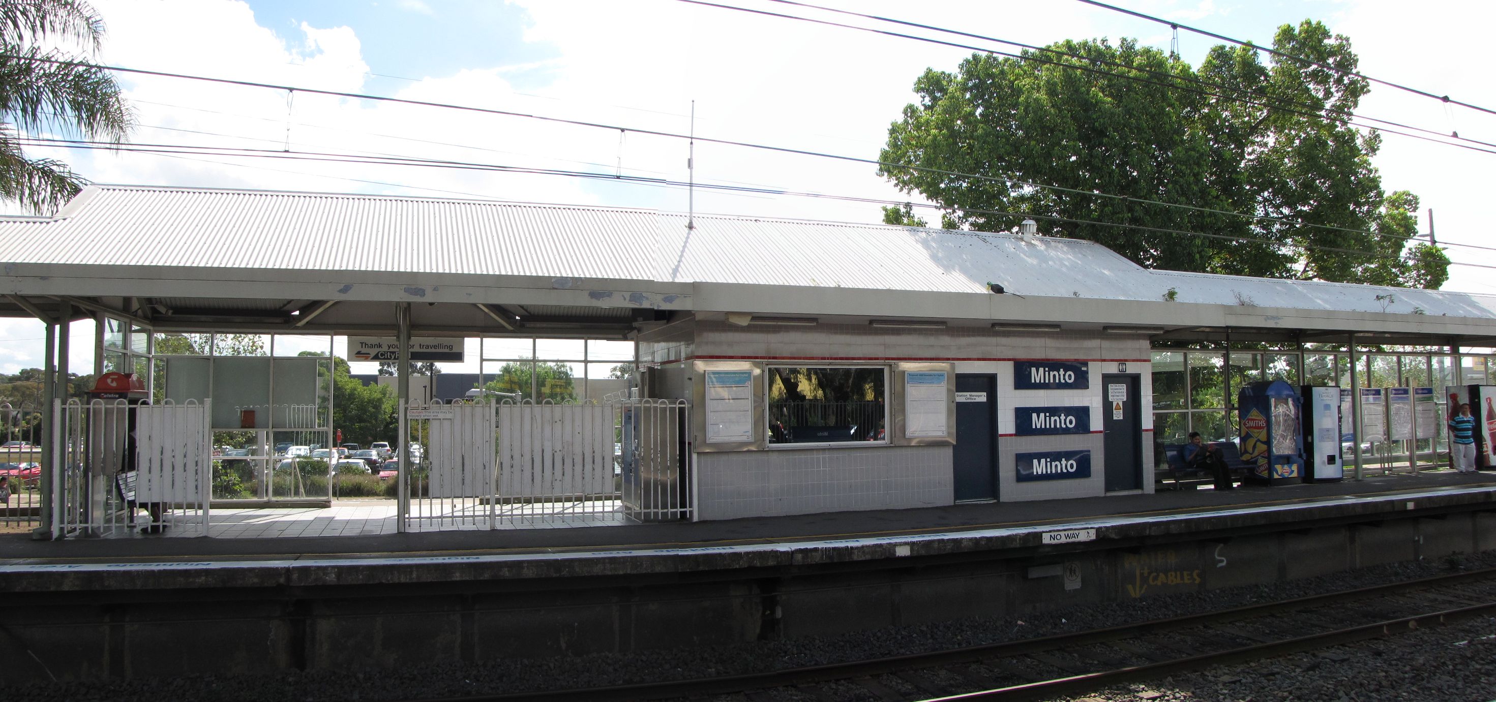
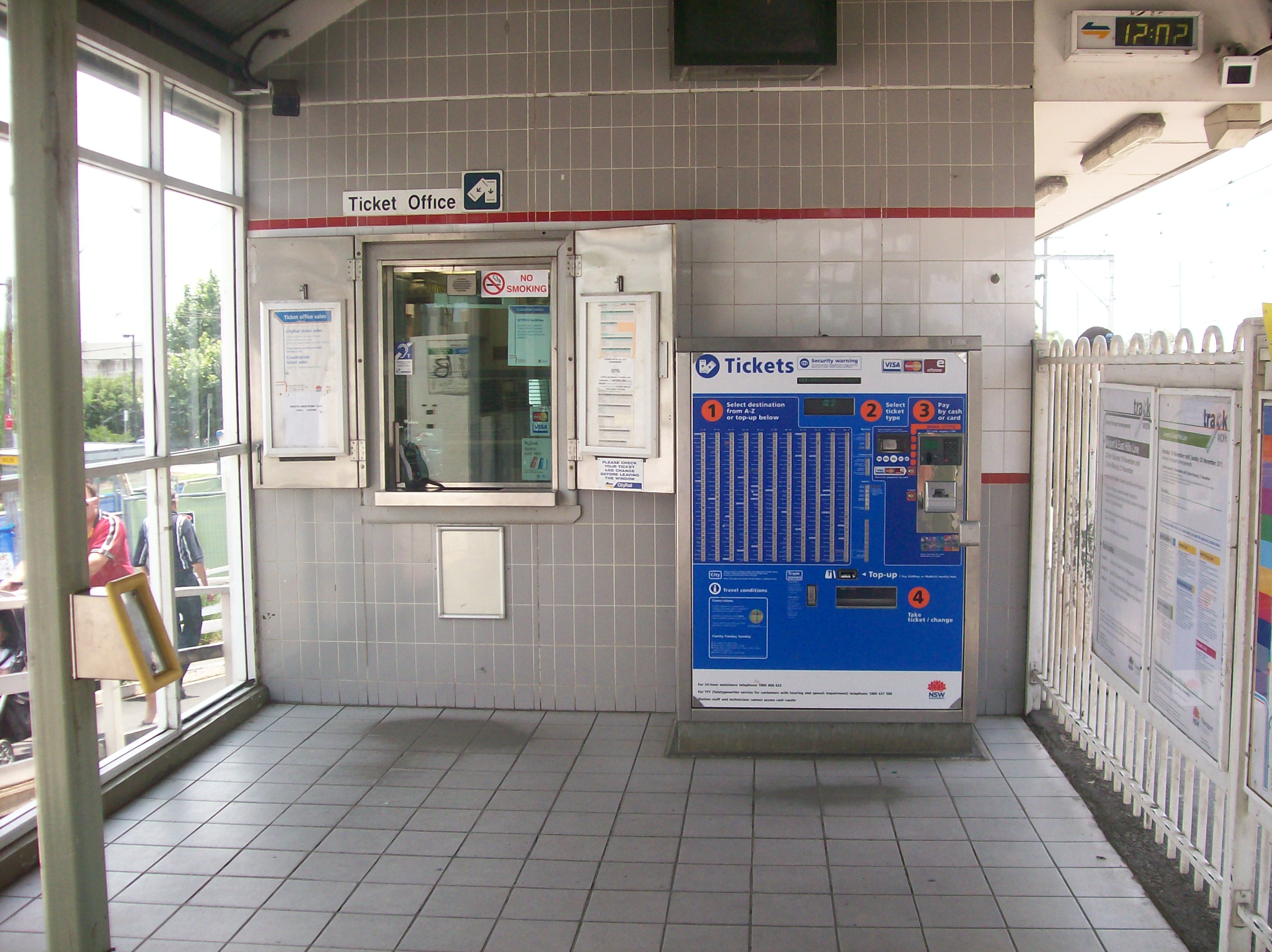
Ticket office
-
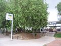
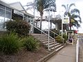
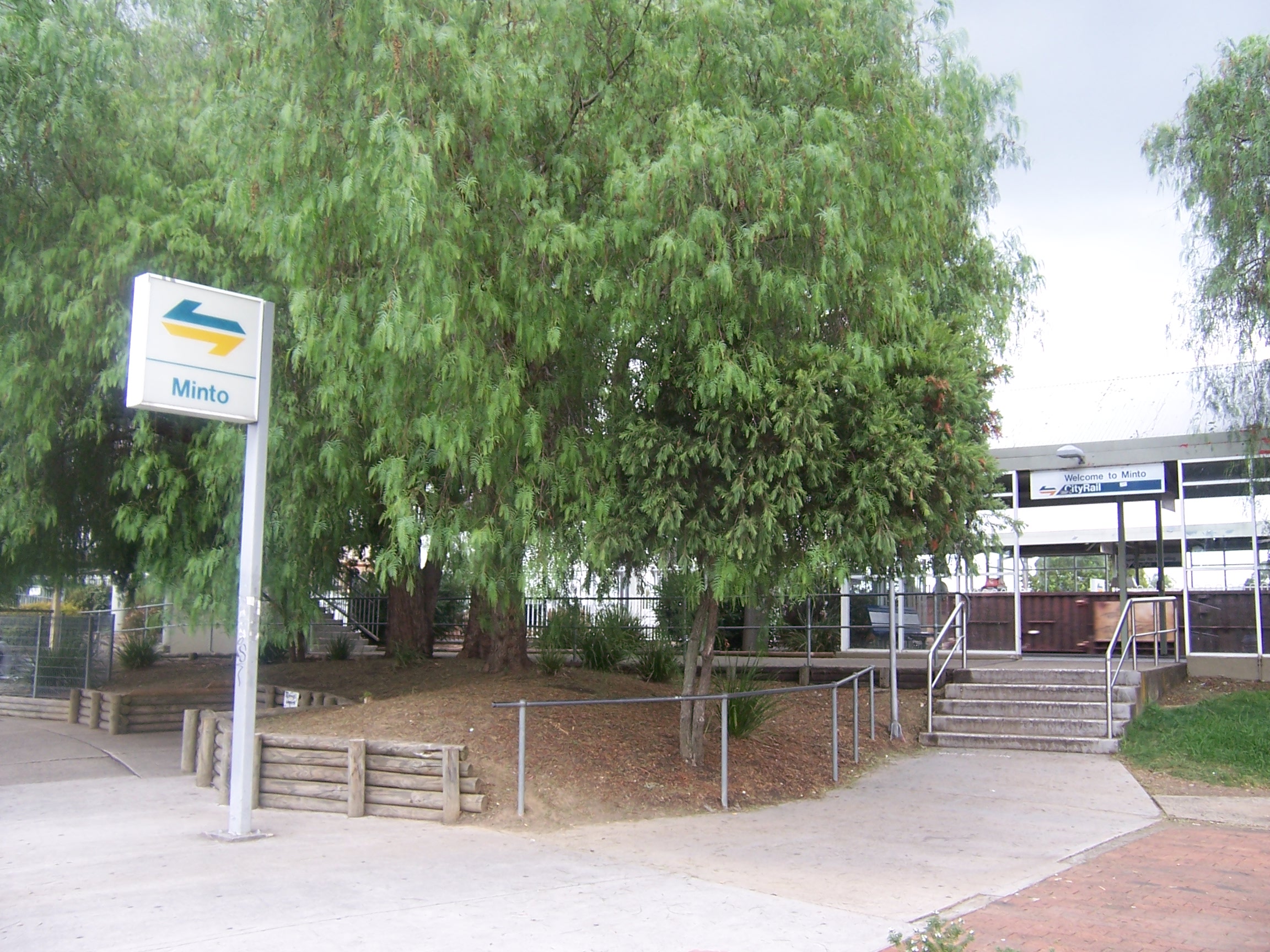
Entrance from Minto Road on east side
-
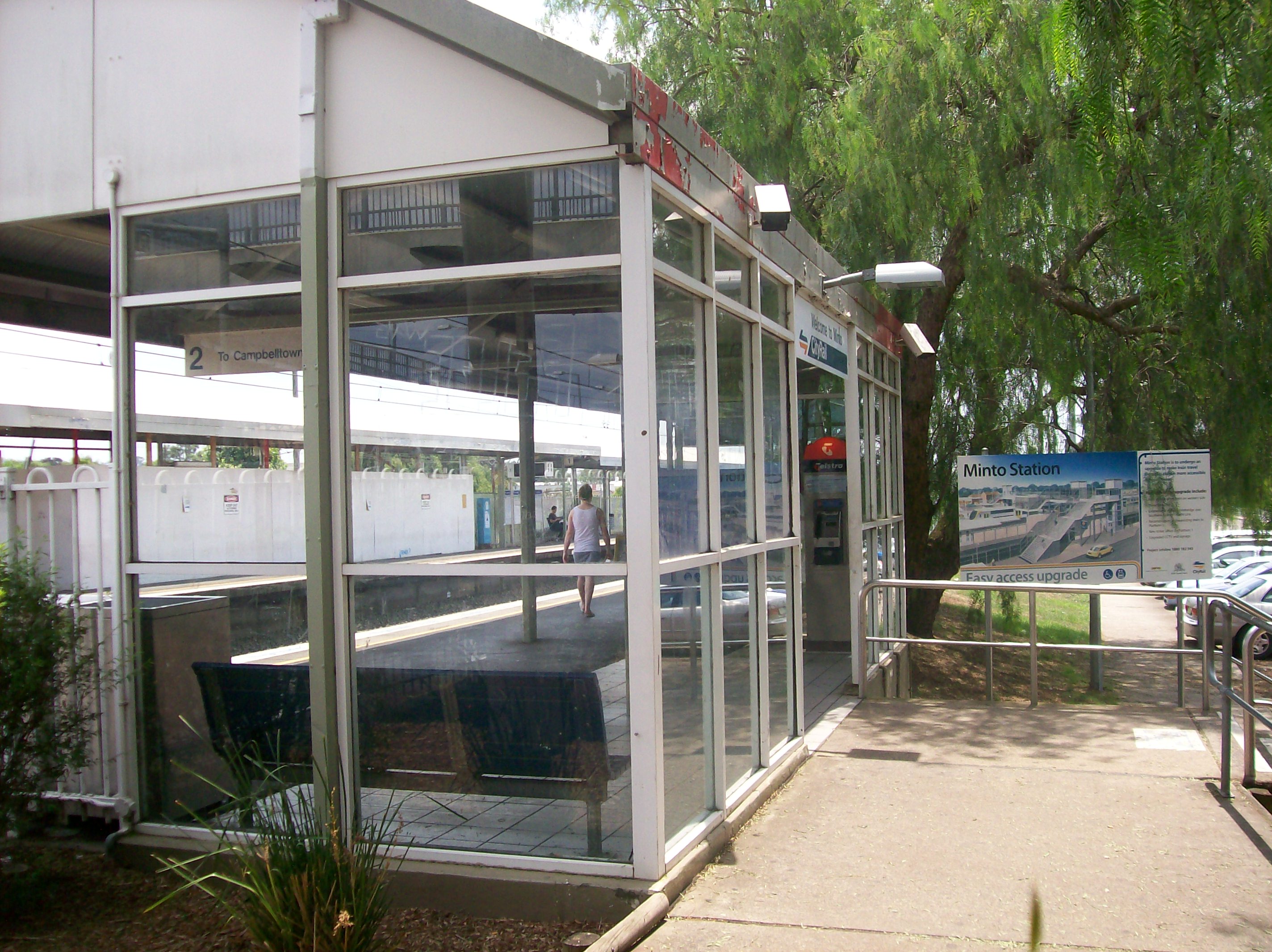
Entrance to Platform 2 and enclosed waiting area
-
Entrance from on west side from Somerset Street prior to access upgrade
-
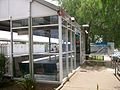
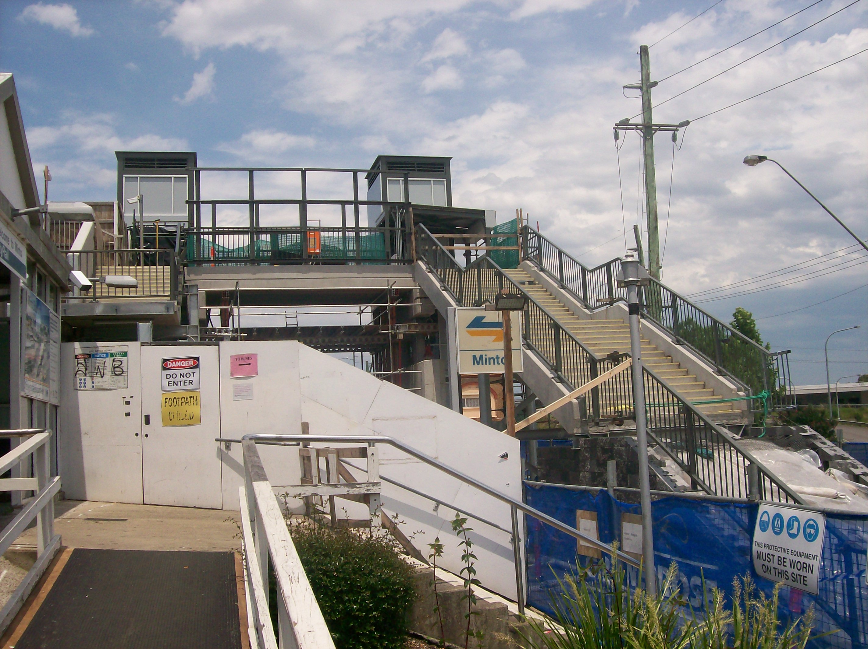
Former west side entrance, with new lifts and footbridge under construction
-
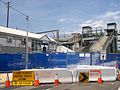
Stairs leading down to new entrance, under construction
-
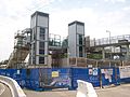
New lifts linking footbridge under construction
-
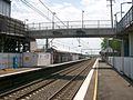
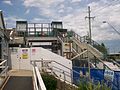
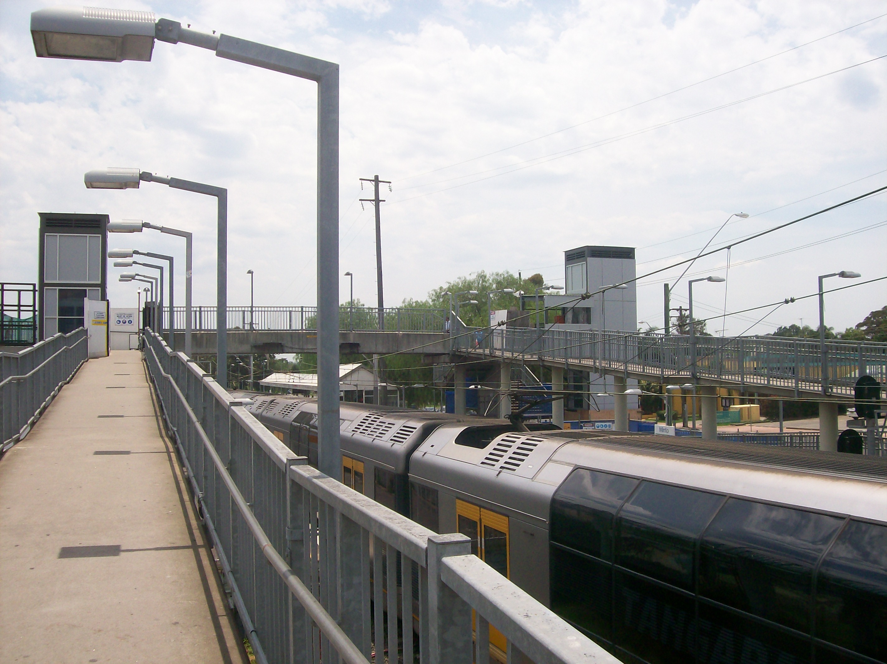
Footbridge linking platforms at south end of station
-

Footbridge & ramp from platform 1
-

Side end of platforms
Neighbouring stations
Preceding station CityRail Following station Leumeahtowards CampbelltownSouth Line Ingleburntowards CentralLeumeahtowards CampbelltownCumberland Line Ingleburntowards BlacktownLeumeahtowards MacarthurAirport and East Hills Line Ingleburntowards CentralReferences
- ^ "CityRail Timetables". CityRail. http://www.cityrail.info/timetables/#landingPoint. Retrieved 22 April 2007.
- ^ "Main South Line". Nswrail.net. http://www.nswrail.net/lines/show.php?name=NSW:main_south. Retrieved 26 April 2007.
Airport and
East Hills Line- Central
- Town Hall
- Wynyard
- Circular Quay
- St James
- Museum
- Central
- Redfern
- Sydenham
- Green Square
- Mascot
- Domestic
- International
- Wolli Creek
- Turrella
- Bardwell Park
- Bexley North
- Kingsgrove
- Beverly Hills
- Narwee
- Riverwood
- Padstow
- Revesby
- Panania
- East Hills
- Holsworthy
- Glenfield
- Edmondson Park
- Leppington
- Macquarie Fields
- Ingleburn
- Minto
- Leumeah
- Campbelltown
- Macarthur
South Line - Central
- Museum
- St James
- Circular Quay
- Wynyard
- Town Hall
- Central
- Redfern
- Newtown
- Ashfield
- Burwood
- Strathfield
- Flemington
- Lidcombe
- Auburn
- Clyde
- Granville
- Merrylands
- Guildford
- Yennora
- Fairfield
- Canley Vale
- Cabramatta
- Warwick Farm
- Liverpool
- Casula
- Glenfield
- Macquarie Fields
- Ingleburn
- Minto
- Leumeah
- Campbelltown
Cumberland - Campbelltown
- Leumeah
- Minto
- Ingleburn
- Macquarie Fields
- Glenfield
- Casula
- Liverpool
- Warwick Farm
- Cabramatta
- Canley Vale
- Fairfield
- Yennora
- Guildford
- Merrylands
- Harris Park
- Parramatta
- Westmead
- Wentworthville
- Pendle Hill
- Toongabbie
- Seven Hills
- Blacktown
(stations in italics are under planning or under construction)CityRail LinesSuburban - Eastern Suburbs & Illawarra
- Bankstown
- Inner West
- Airport & East Hills
- South
- Cumberland
- Western
- North Shore
- Carlingford
- Olympic Park
- Northern
Interurban and regional - South Coast
- Southern Highlands
- Blue Mountains
- Newcastle & Central Coast
- Hunter
Coordinates: 34°01′38″S 150°50′33″E / 34.027331°S 150.842537°E
Categories:- Railway stations in Sydney
- Easy Access railway stations in Sydney
- Railway stations opened in 1874


Wikimedia Foundation. 2010.