- Circular Quay railway station
-
 Circular Quay
Bankstown Line Inner West Line Airport & East Hills Line South Line Station code CQY Suburb Sydney Street(s) Alfred Street Distance from Central Station 2.97 km Altitude (above sea level) ? m Types of stopping trains Suburban all stops
Suburban limited stopsNumber of platforms 2 Number of tracks 2 Platform arrangement 2 side Type of station Elevated Ticket barriers Yes Transfers available Train
Bus
FerryDisabled access 
Yes Station facilities Link Circular Quay is a CityRail station located in Sydney, Australia and is situated on the City Circle line. The station is elevated with the elevated Cahill Expressway roadway directly above it, and lies directly behind the Circular Quay ferry terminals from which services operate to a number of locations around Port Jackson (Sydney Harbour). The area is also the terminus for a number of bus services. Circular Quay is the nearest railway station to the Sydney Opera House and The Rocks area of Sydney.
Contents
History
The station opened on 20 January 1956, and its construction completed the City Circle railway as originally envisaged by Bradfield making it the newest station on the line. There have been various proposals to relocate the station underground in conjunction with the demolition of the Cahill Expressway, however these have not come to fruition. In 2006 RailCorp performed maintenance and cleaning of the station's 50 year old facade. Tenders have been called for a major refurbishment in 2007, including new lighting, toilets and an upgrade of the ticket office and shopfront facades.[1]
Platforms and services
Trains on the East Hills, South, Bankstown and Inner West lines pass through Circular Quay, and the station is considered the terminal point for these services (technically it is where the run number for the service changes). Services on the Illawarra line used the station until the 1979 completion of the Eastern Suburbs line. The station is manned from first to last train, and is fully accessible to wheelchairs.
The station is served by six to ten trains per hour each way, with additional trains during weekday peak hours.
Platform Line Stopping Pattern Notes 
Inner West Line all stations and limited stops services to Ashfield, Strathfield, Lidcombe, Cabramatta and Liverpool via Regents Park continuation of services from East Hills or Bankstown line South Line all stations and limited stops services to Glenfield and Campbelltown via Granville continuation of services from East Hills or Bankstown line 
Airport & East Hills Line all stations and limited stops services to Kingsgrove, Revesby, Glenfield, Campbelltown and Macarthur via the Airport or Sydenham continuation of services from Inner West or South line Bankstown Line all stations and limited stops services to Bankstown, Lidcombe and Liverpool via Sydenham continuation of services from Inner West or South line Bus services
Beyond the railway station is the Sydney Buses Alfred Street terminus. A large number of Sydney Buses services originate from this stop. They are:
Stand A:
- 422 - to Tempe Bus Depot; to Newtown, New South Wales Bridge (King Street) Some services extended to Kogarah Railway Station
- 423 - to Kingsgrove Bus Depot (Richland Street)
- 426 - to Dulwich Hill (Marrickville Road near New Canterbury Road)
- 428 - to Canterbury (Broughton St, near Canterbury Railway Station
Stand B:
- 111 - Sydney Explorer tourist bus (inbound)
- 222 - Bondi Explorer tourist bus (outbound)
Stand C:
- 436 - Chiswick to Circular Quay
- 438 - Abbotsford to Circular Quay
- 439 - Mortlake to Circular Quay
- 440 - Rozelle to Circular Quay
- 443 - Pyrmont to Circular Quay
- 470 - Lilyfield to Circular Quay
Stand D:
- 373 - to Coogee - (Arden and Dolphin Streets)
- 309 - to Matraville - (Port Botany terminus)
- 324 - to Watsons Bay - (Military Road terminus)
- 303 - to Sans Souci - (Botany Road and Hollingshed Street)
- 303 - to Sans Souci - (Wellington Street and Rocky Point Road)
- 377 - to Maroubra - (Maroubra Beach)
- 301 - to Newtown - (King Street and Botany Road)
- 310 - to Pagewood - (Eastgardens Shopping Centre -Bunnerong Road and Wentworth Avenue)
- 374 - to Coogee - (Arden and Dolphin Streets)
- 301 - to Pagewood - (Eastgardens Shopping Centre - Bunnerong Road and Wentworth Avenue)
- 325 - to Watsons Bay - (Military Road Terminus)
- 326 - to Bondi Junction Railway Station Bus Interchange
- 376 - to Maroubra - (Maroubra Beach)
- 302 - to Pagewood - (Eastgardens Shopping Centre lower level)
- 309 - to Matraville - (Matraville Hotel - Bunnerong Road and Franklin Road)
- 309 - to Chifley - (Bunnerong Road and Moorina Road)
Stand E:
- 394 - to Little Bay - (Anzac Parade at Prince Henry Hospital)
- 396 - to Maroubra - (Maroubra Beach)
- 394 - to La Perouse - (Anzac Parade terminus)
- 380 - to North Bondi terminus
- 389 - to North Bondi terminus
- 380 - to Dover Heights - (Military Road and Old South Head Road)
- 311 - to Railway Square (Central Railway Station)
- 392 - to Little Bay - (Anzac Parade at Prince Henry Hospital)
- 399 - to Little Bay - (Anzac Parade at Prince Henry Hospital)
- L94 - to La Perouse - (Anzac Parade Terminus)
- 397 - to South Maroubra - (Minneapolis and Midway Streets)
- 380 - to Watsons Bay - (Military Road terminus)
- 333 - to North Bondi - (Campbell Parade terminus)
- 394 - to Maroubra Junction - (Anzac Parade and Green Street)
Gallery
-
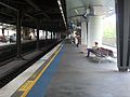
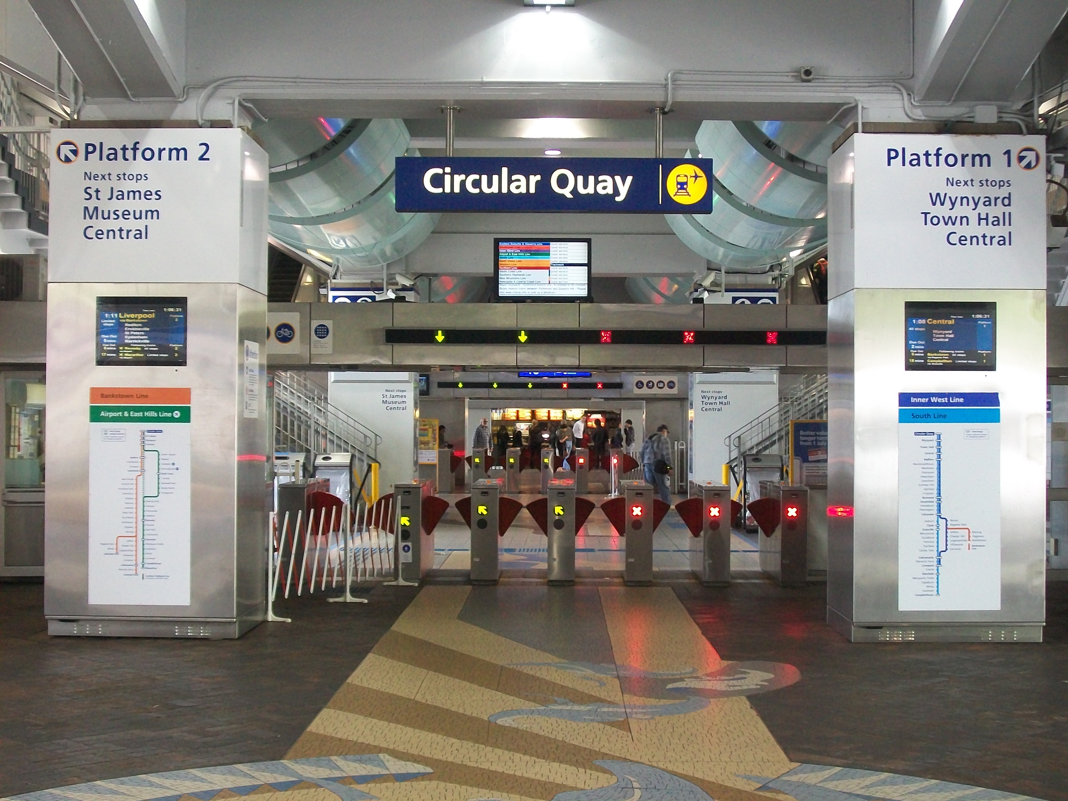
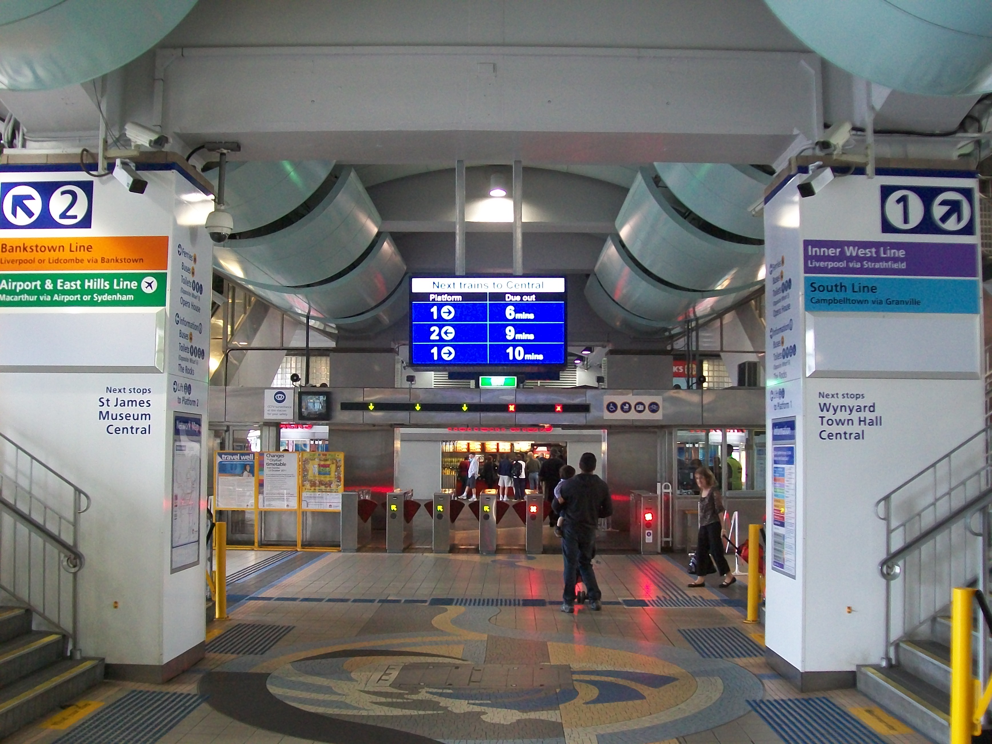
Platform 1
-
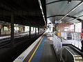
Platform 2
-

Looking east to the platforms
-

Ticket Barriers on west side of concourse
-

Stairs to platforms
-

"Next Trains to Central" Indicator
-

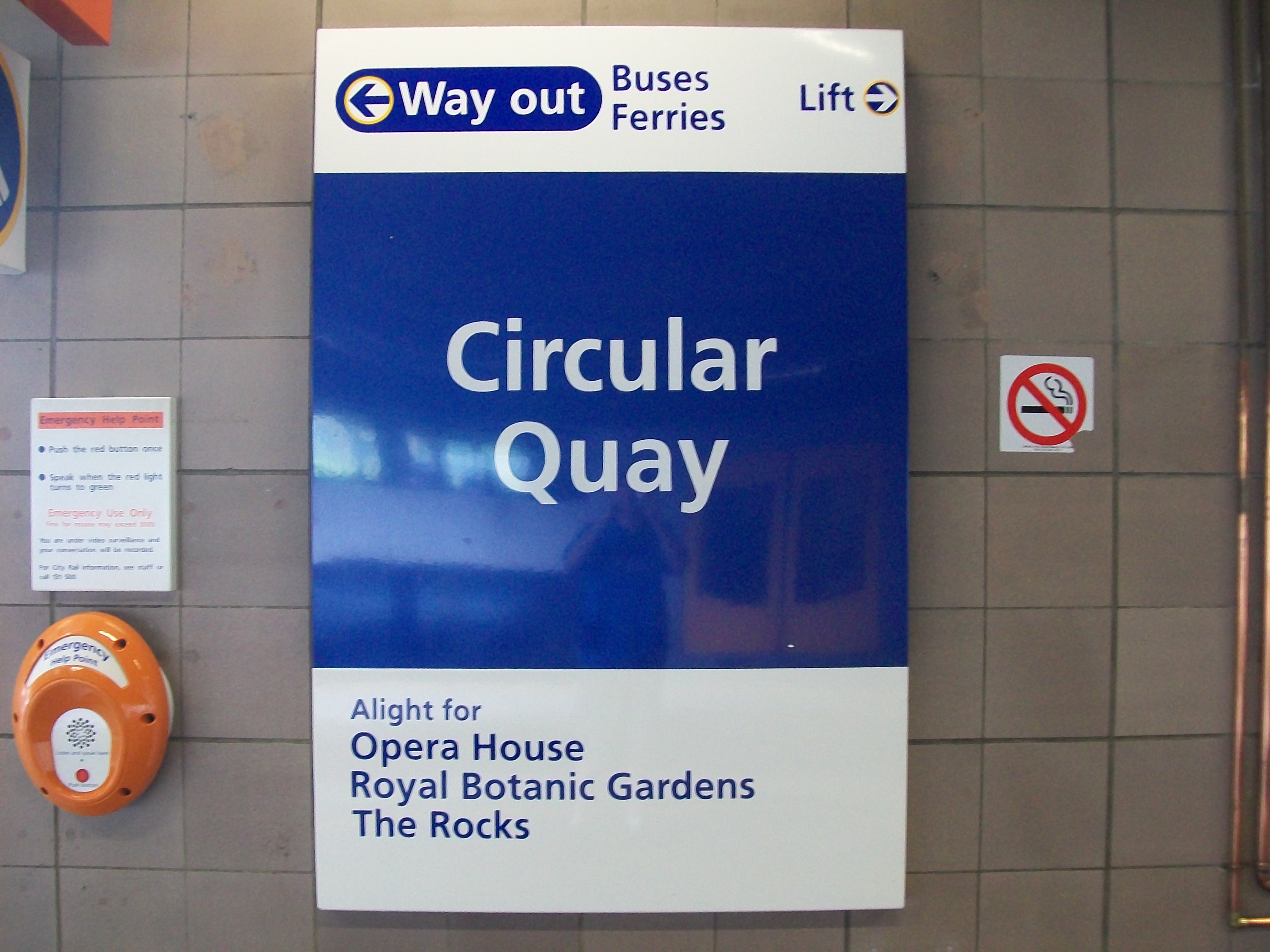
Platform Sign
-
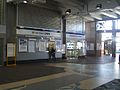
Ticket Office Windows
-

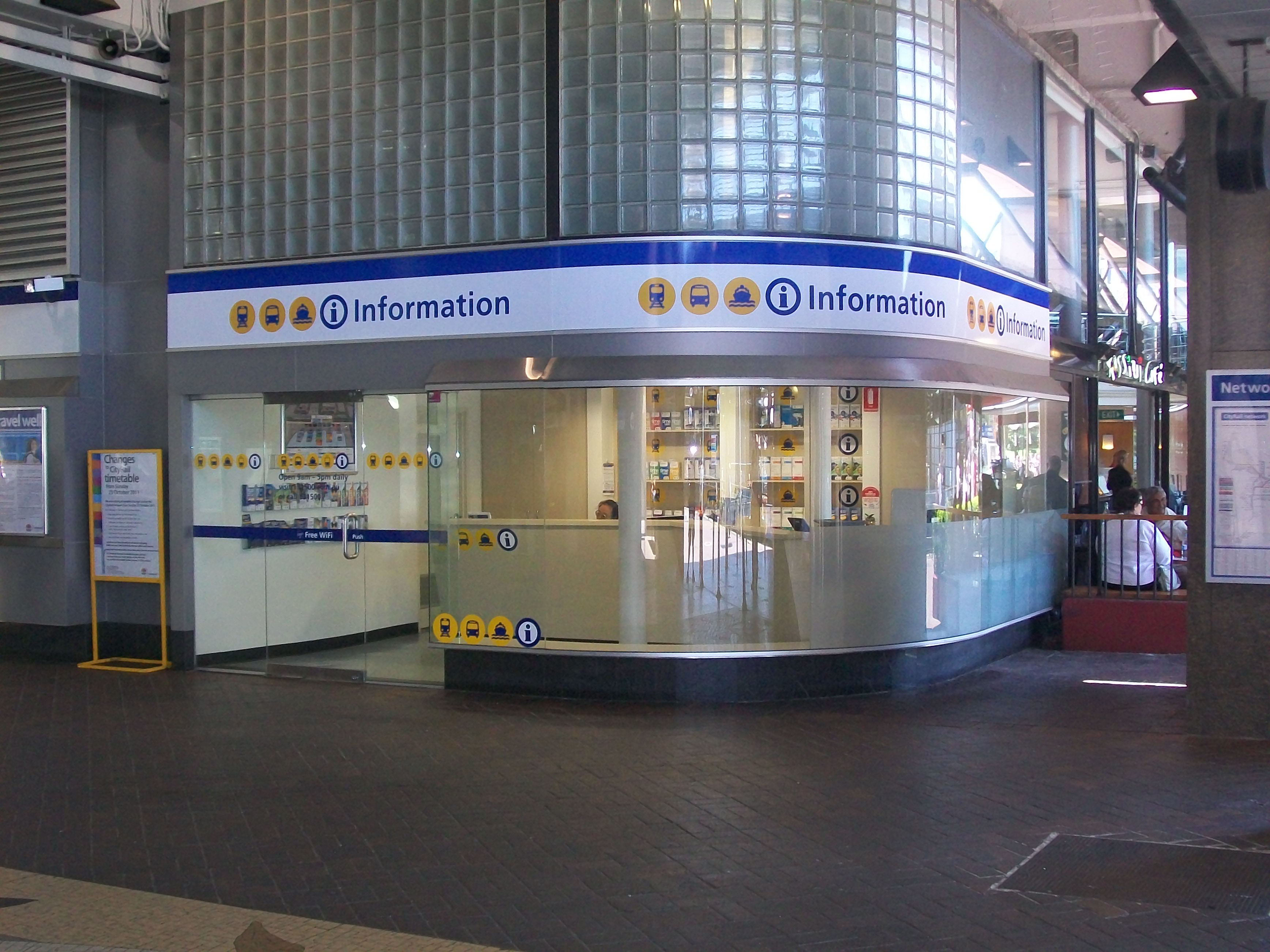
Information Office
-

Exterior of station
-

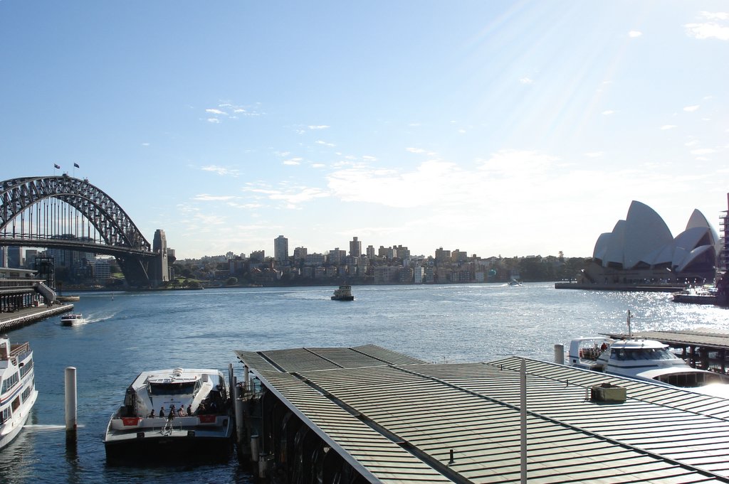
View from an inbound Rivercat
-

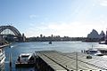
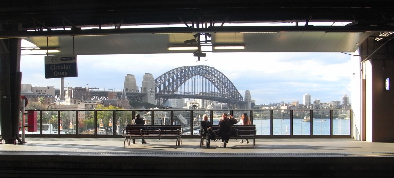
View of Sydney Harbour from inside the station
-
View of Sydney Harbour from Platform 2 in the morning
-

View of Sydney Harbour Bridge seen from Platform 2
Trackplan
 Track arrangement at Circular Quay
Neighbouring stations
Preceding station CityRail Following station towards CentralAirport and East Hills Line
City Circle clockwiseSt Jamestowards Macarthurtowards CentralBankstown Line
City Circle clockwiseSt Jamestowards Lidcombe or Liverpooltowards CampbelltownSouth Line
City Circle anticlockwiseSt Jamestowards Centraltowards LiverpoolInner West Line
City Circle anticlockwiseSt Jamestowards CentralReferences
- ^ News in Brief, Railway Digest, July 2007. ARHS NSW Division.
External links
Coordinates: 33°51′41″S 151°12′39″E / 33.861332°S 151.210779°E
Categories:- Railway stations in Sydney
- Easy Access railway stations in Sydney
- Railway stations opened in 1956


Wikimedia Foundation. 2010.