- Clyde railway station
-
 Clyde
Clyde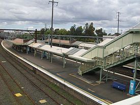
Western Line Carlingford Line Station code CYE Suburb Clyde Street(s) Berry Street Distance from Central Station 20.66 km Altitude (above sea level) ? m Types of stopping trains Suburban all stops Number of platforms 6 Number of tracks 6 Platform arrangement 3 Island Type of station Ground Ticket barriers No Transfers available Train Disabled access 
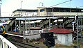
Yes (Assisted) Station facilities Link Clyde railway station is a station on the Cityrail network. Its main reason for existence is as a junction for the Carlingford line. The station is very close to Granville station, which has a more frequent train service. Clyde Station has an almost identical design to Granville station.
Contents
History
Rosehill Junction station opened in 1882, was renamed Clyde in 1883, Clyde Junction in 1901, and Clyde in 1904.[1]
Platforms and services
Trains on the Western Line, South Line and Carlingford Line pass through the station, but South line don't regularly stop as of 2005, even though there are platforms allocated to them.
The station is served by three trains per hour each way, with additional trains during weekday peak hours.
Platform Line Stopping Pattern Notes 
Carlingford Line Terminating services returning to all stations services to Carlingford. Occasionally used for through trains to the city. 
Western Line All stations and limited stops services to Central then on to the ■North Shore Line. Mainly used during weekday peak hours 
Western Line All stations and limited stops services to Blacktown, Quakers Hill, Riverstone, Richmond, St Marys, Penrith and Emu Plains via Parramatta. Mainly used during weekday peak hours Carlingford Line Occasional services to Rosehill Racecourse and Carlingford from the City 
Western Line All stations and limited stops services to Central then on to the ■North Shore Line. Early Morning ■South Line trains to the City 
Western Line All stations and limited stops services to Blacktown, Quakers Hill, Riverstone, Richmond, St Marys, Penrith and Emu Plains via Parramatta. Occasional ■South Line trains 
not in passenger use Fenced off. Faces newly rewired track. 
Transport Connections
Metrobus M92 to Parramatta and Sutherland and NightRide service N61 to Carlingford and Town Hall depart from Parramatta Road.
Gallery
-
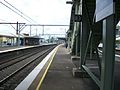
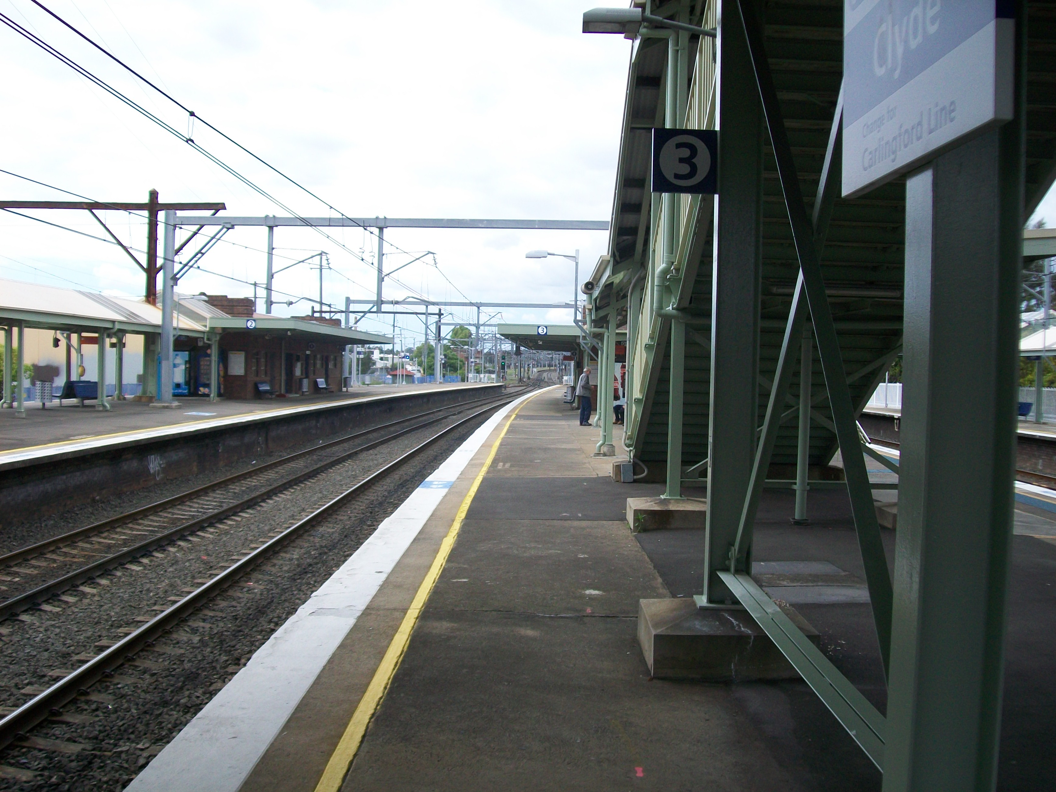
Platform 3
-
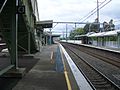
Platform 4
-
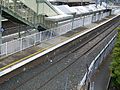
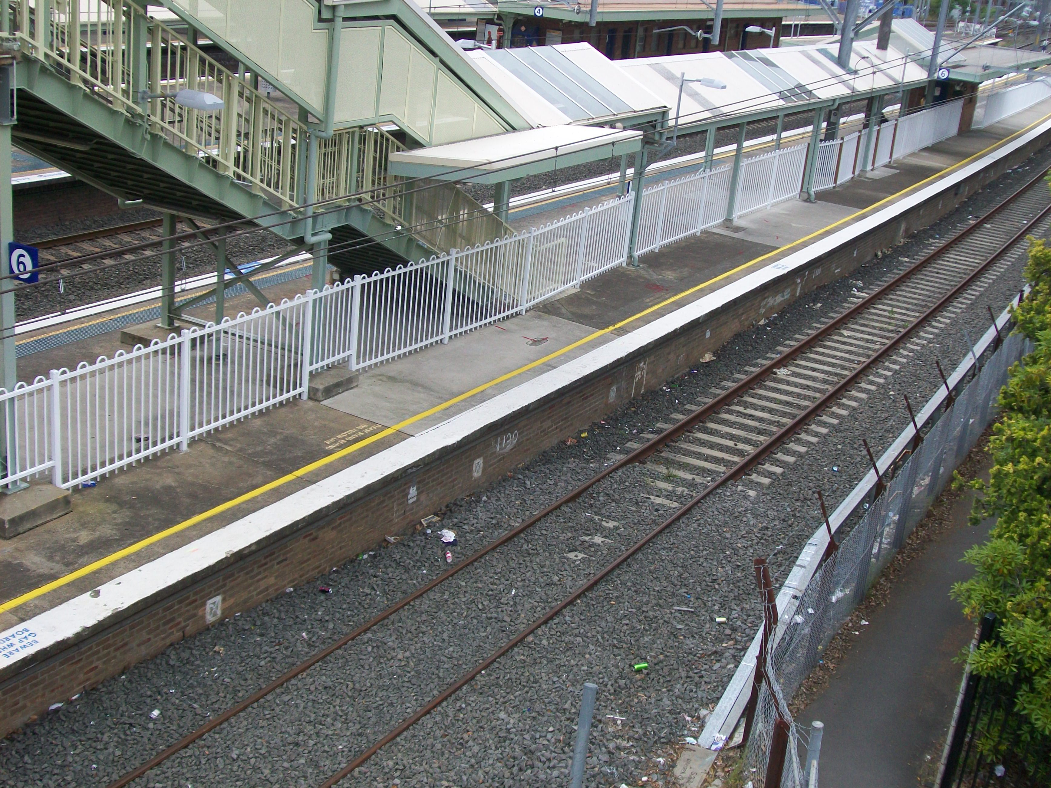
Platform 6, the unused, fenced off platform
-
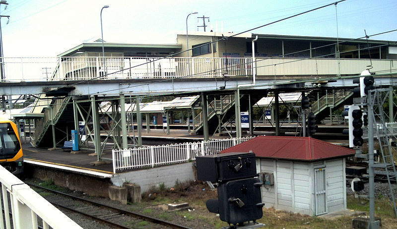
View from north
-
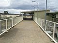
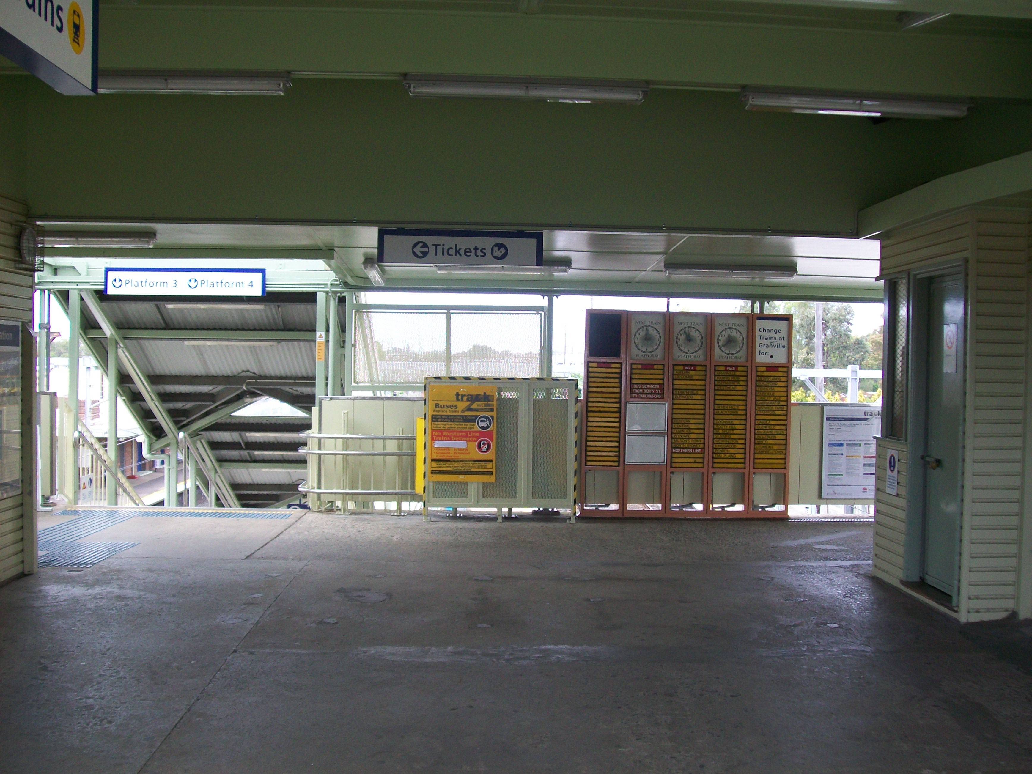
Entrance
-
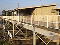
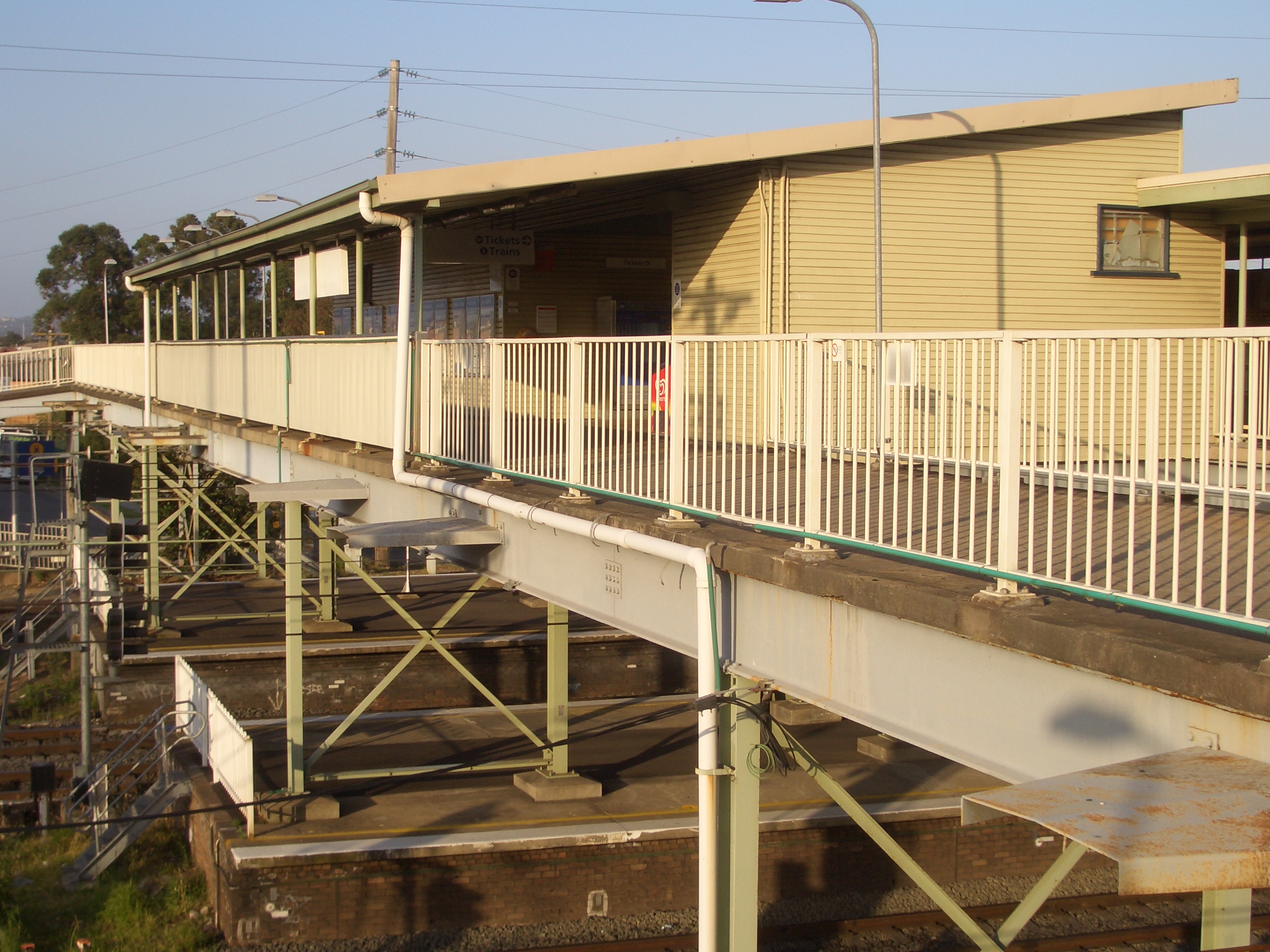
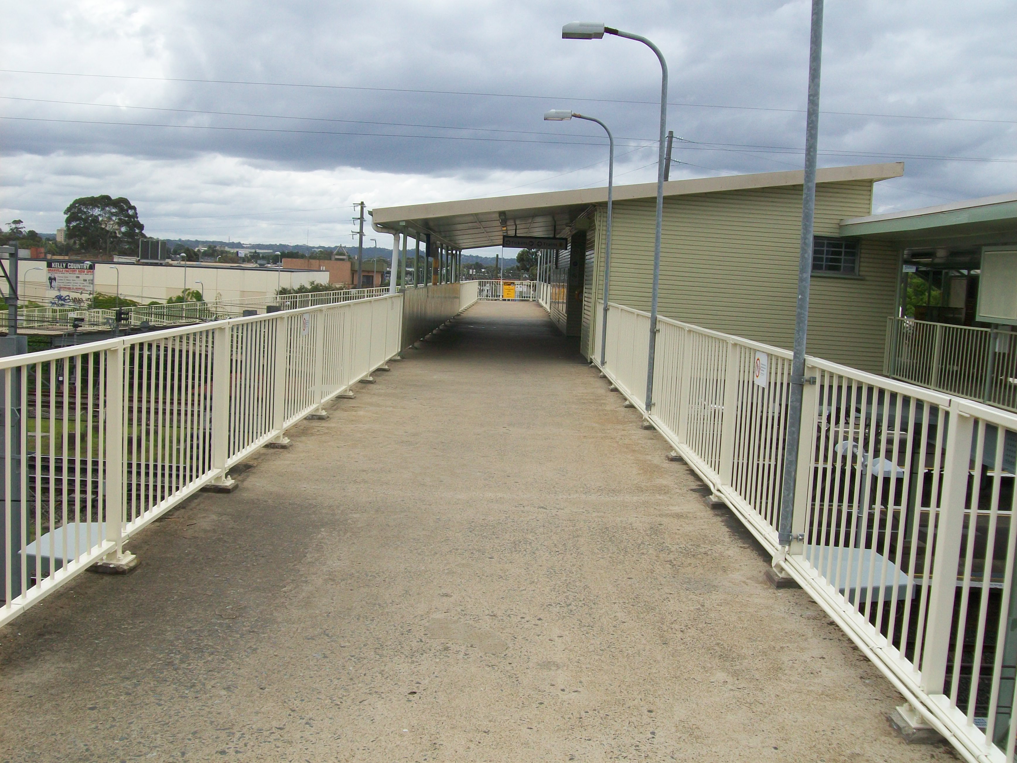
Footbridge
-
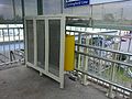
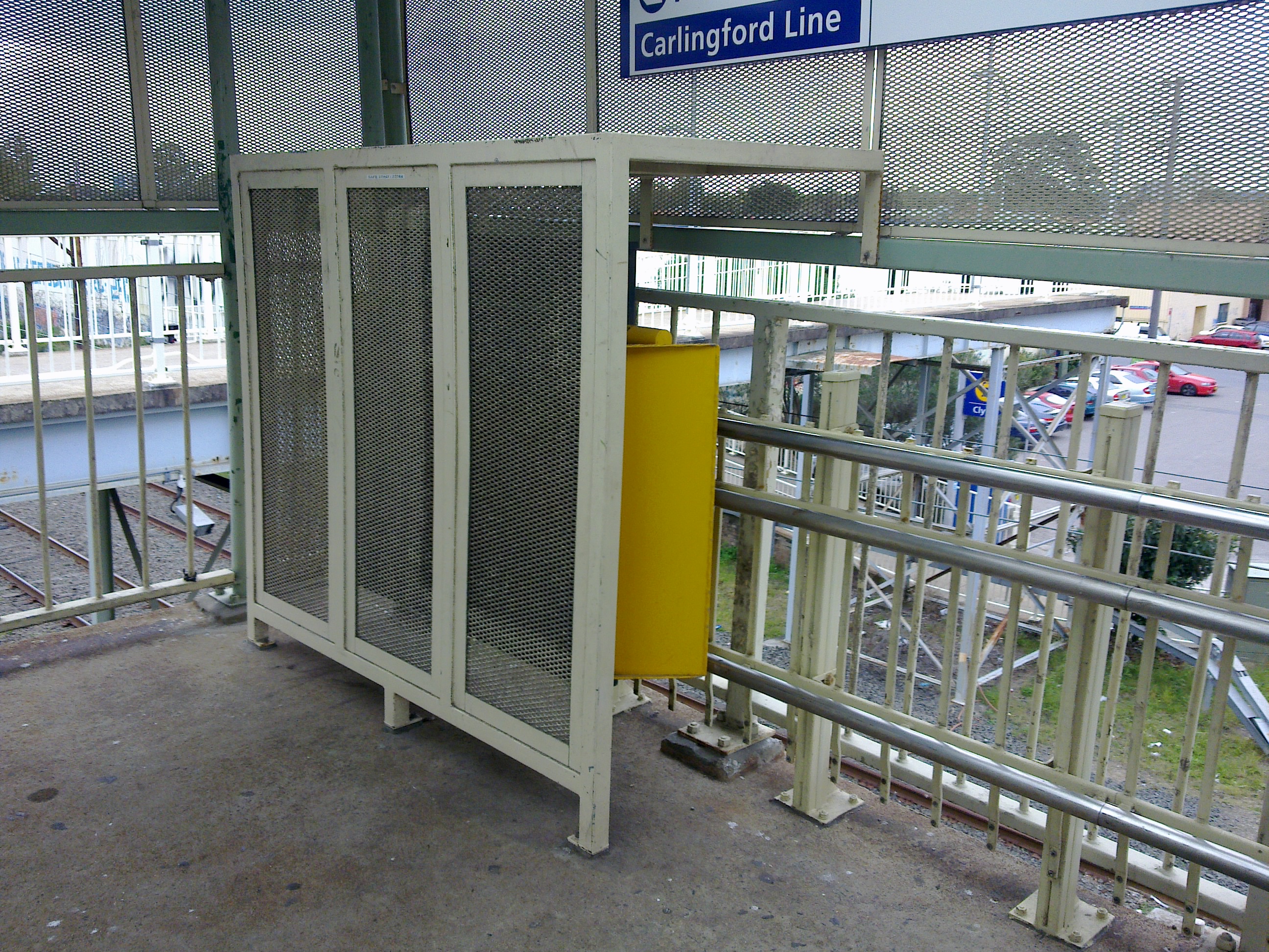
Stairlift
-
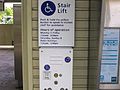
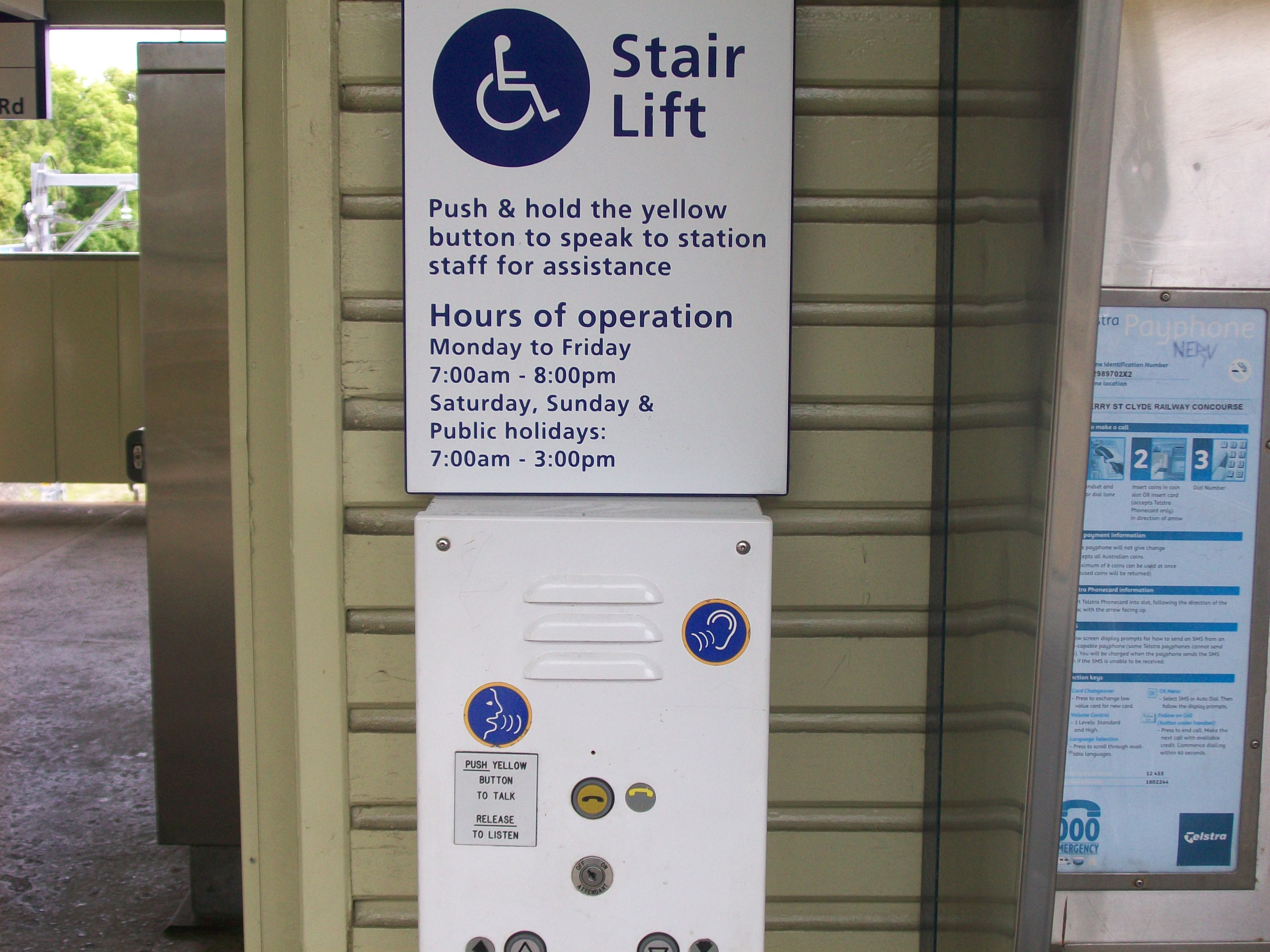
Stairlift controls
-
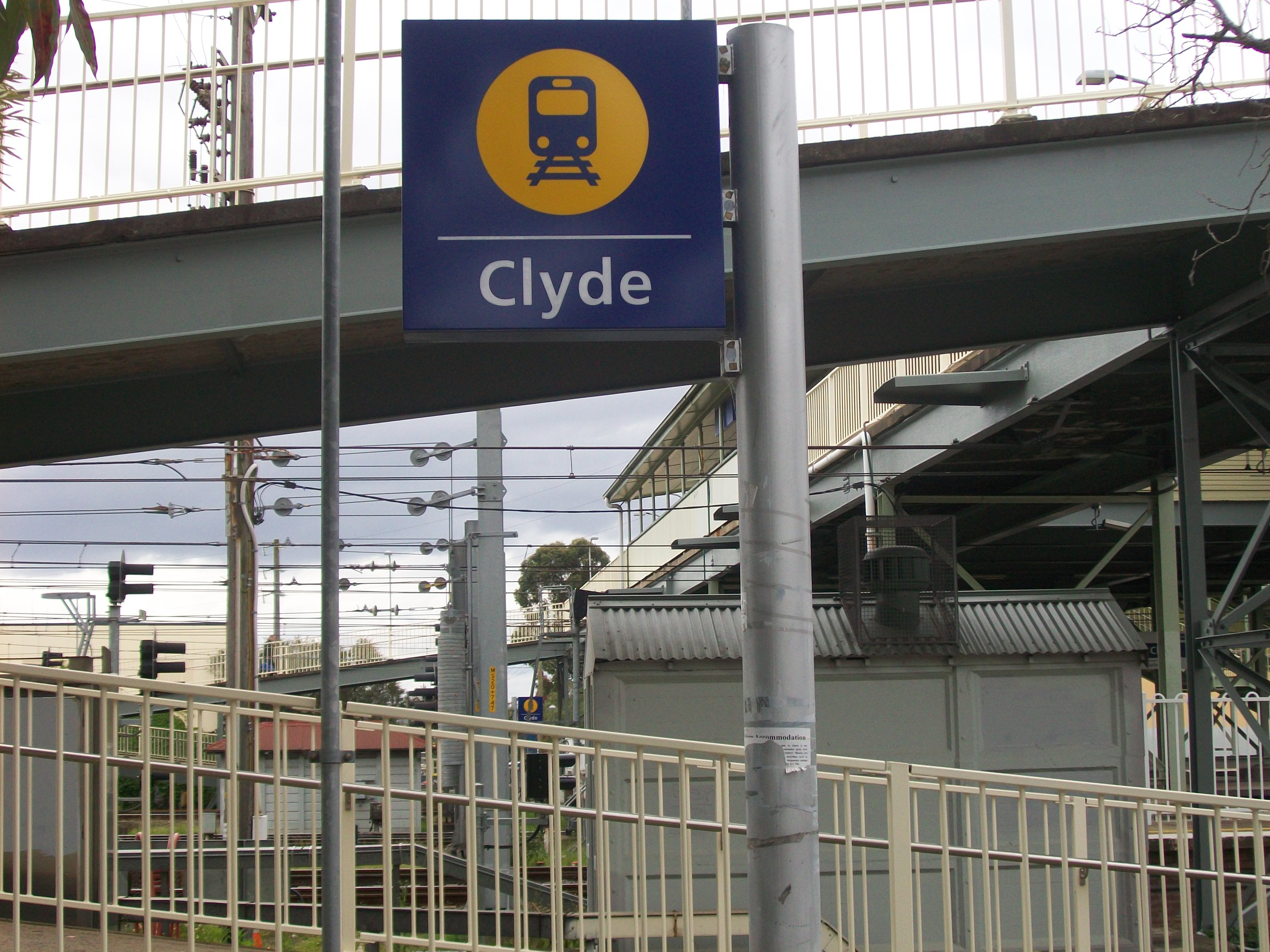
Sign outside station
-

Station entrance
-
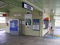
Ticket Office
-
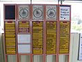
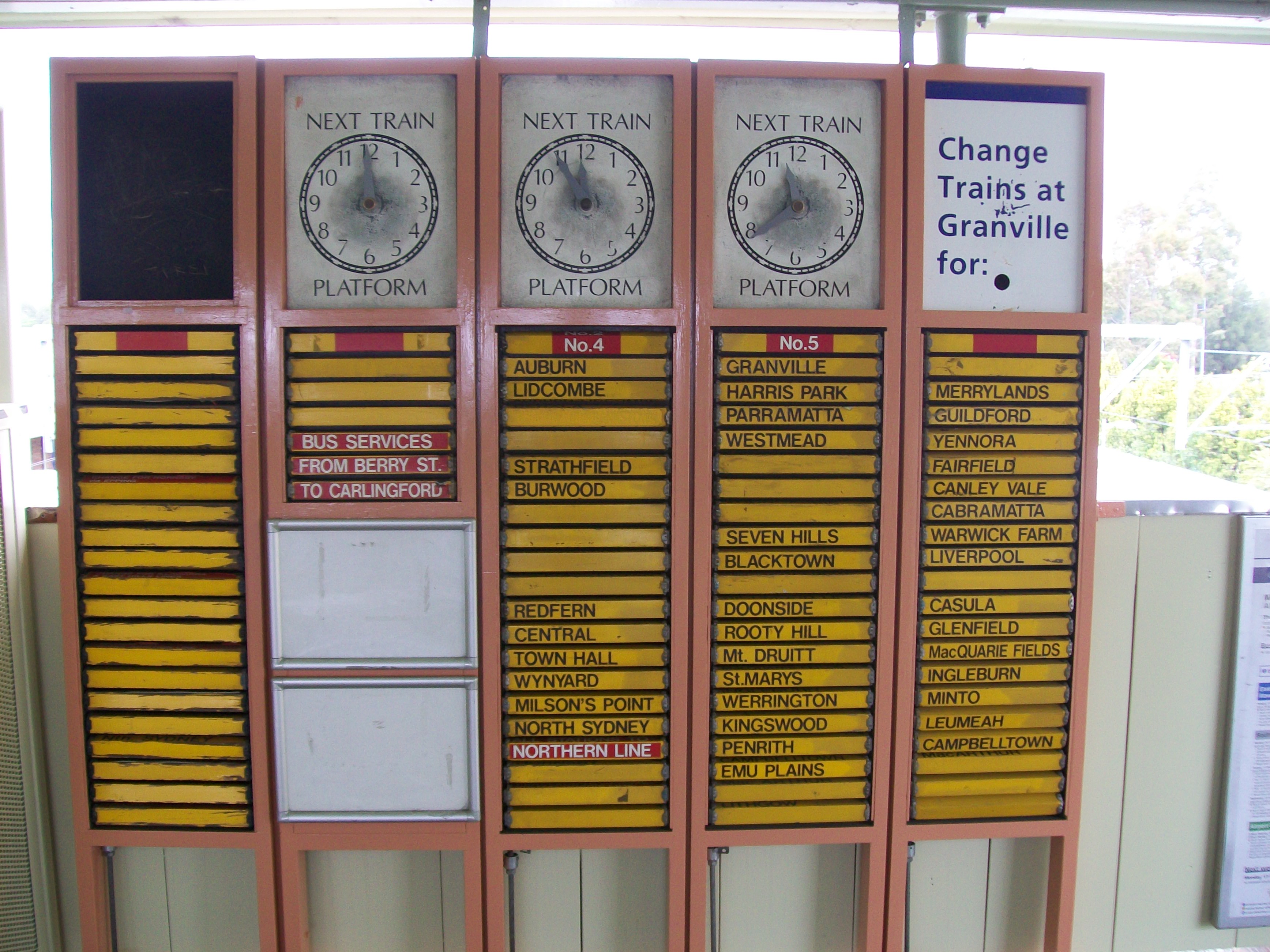
Being a station of low patronge, Clyde has only manual indicators on the station concourse.
-
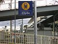
Platform Sign
-

Granville station is less than a kilometre away from Clyde and can be observed from the end of the platforms and footbridge.
Neighbouring stations
Preceding station CityRail Following station GranvilleWestern Line towards CentralRosehilltowards CarlingfordCarlingford Line Terminus References
- ^ "Carlingford Line". Nswrail.net. http://www.nswrail.net/lines/show.php?name=NSW:carlingford. Retrieved 5 August 2011.
Coordinates: 33°50′10″S 151°01′02″E / 33.836171°S 151.017217°E
Categories:- Railway stations in Sydney
- Railway stations opened in 1882
- Sydney rail transport stubs
-


Wikimedia Foundation. 2010.