- Claymore, New South Wales
-
Claymore
Sydney, New South Wales
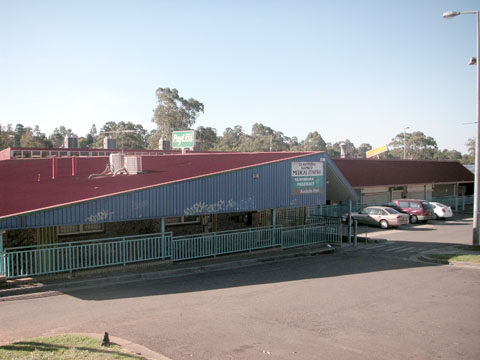
Claymore shopping centrePopulation: 3300 (2006) Established: 1978 Postcode: 2559 Coordinates: 34°02′40″S 150°48′35″E / 34.0444°S 150.8096°ECoordinates: 34°02′40″S 150°48′35″E / 34.0444°S 150.8096°E Location: 54 km (34 mi) southwest of Sydney LGA: City of Campbelltown State District: Camden Federal Division: Werriwa Suburbs around Claymore: Eagle Vale Eagle Vale Woodbine Blairmount Claymore Woodbine Blairmount Campbelltown Woodbine Claymore is a suburb of Sydney, in the state of New South Wales, Australia. Claymore is located 54 kilometres south-west of the Sydney central business district, in the local government area of the City of Campbelltown and is part of the Macarthur region. The majority of housing in Claymore is owned by Housing NSW. The streets are named after Australian artists.
Contents
History
The area now known as Claymore was originally home to the Tharawal people. British settlers began moving into the area in the early 19th century, establishing farms and orchards. By the 1970s, the expansion of Sydney was great enough for developers to look at the area around Campbelltown. The Housing Commission of New South Wales undertook a large public housing development in the Claymore area. Originally the suburb was to be called Badgally after a local homestead, but the council backed off over concerns that the "Bad" part of the name could give the area a "bad" name. They chose Claymore after another local property, although that was also contentious since the name had very little history in the area. The first residents moved in in 1978.[1]
Demographics
According to the 2006 census, Claymore had a population of 3294 people, mostly young people with low incomes. The average age is 20, compared to the national average of 37, with 40% of the population aged 14 or under. The median income is just $237 per week, almost half the national average ($466). Most people are Australian-born and speak English although there is a substantial Samoan community with 12.2% speaking the Samoan language. Most houses are semi-detached or townhouses. Virtually all houses are being rented (86%) and 94% of those are rented from Housing NSW.[2]
Services
Claymore contains the WorkVentures Connect Centre at Claymore.
References
- ^ "History of Claymore". Campbelltown City Council. http://www.campbelltown.nsw.gov.au/default.asp?iDocID=2097&iNavCatID=322&iSubCatID=1370. Retrieved 2007-08-20.
- ^ Australian Bureau of Statistics (25 October 2007). "Claymore (State Suburb)". 2006 Census QuickStats. http://www.censusdata.abs.gov.au/ABSNavigation/prenav/LocationSearch?collection=Census&period=2006&areacode=SSC11231&producttype=QuickStats&breadcrumb=PL&action=401. Retrieved 2007-08-20.
Suburbs of the City of Campbelltown · Macarthur · South-western Sydney · Sydney Airds · Ambarvale · Blair Athol · Blairmount · Bow Bowing · Bradbury · Campbelltown · Claymore · Denham Court · Eagle Vale · Englorie Park · Eschol Park · Gilead · Glen Alpine · Glenfield · Ingleburn · Kearns · Kentlyn · Leumeah · Long Point · Macquarie Fields · Macquarie Links · Menangle Park · Minto · Minto Heights · Raby · Rosemeadow · Ruse · St Andrews · St Helens Park · Varroville · Wedderburn · Woodbine
List of Sydney suburbs Categories:- Suburbs of Sydney
- Sydney geography stubs
Wikimedia Foundation. 2010.