- Macquarie Fields, New South Wales
Infobox Australian Place | type = suburb
name = Macquarie Fields
city = Sydney
state = nsw
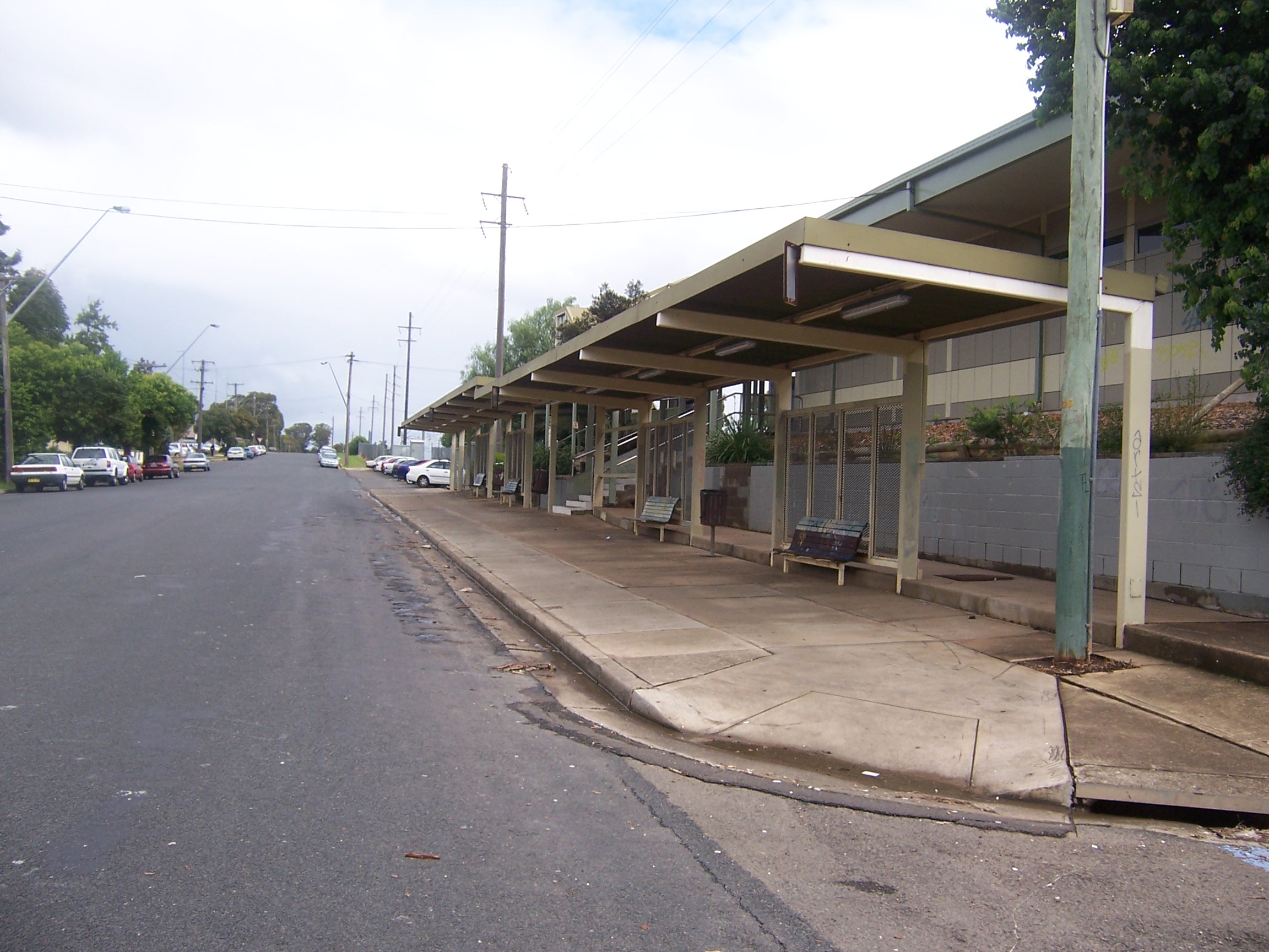
caption = Railway Parade, Macquarie Fields
lga = City of Campbelltown
postcode = 2564
pop = 13,000 (2006)
est = 1883
area =
propval =
stategov = Macquarie Fields
fedgov = Werriwa
near-nw = Macquarie Links
near-n = Glenfield
near-ne = Holsworthy
near-w = Macquarie Links
near-e = Holsworthy
near-sw = Ingleburn
near-s = Ingleburn
near-se = Long Point
dist1 = 42
dir1 = south-west
location1= SydneyMacquarie Fields is a
suburb ofSydney , in the state ofNew South Wales ,Australia . Macquarie Fields is located 42kilometres south-west of theSydney central business district , in the local government area of theCity of Campbelltown .Macquarie Fields has a mix of public and private housing and is surrounded by
bushland . Nearby Macquarie Links, is a high-security housing estate based around an international standardgolf course .History
The original inhabitants of the Macquarie Fields area were the
Darug people of western Sydney [Kohen, J: "The Darug and their neighbours", page 9-22. ISBN 0 6461361 9 4] . The rich soil of the area was home to an abundance of plants which in turn attracted animals such askangaroo s andemu s, both of which along withyam s and other native vegetables and fruit were part of the diet of the Darug [Kohen, J: "The Darug and their neighbours", page 23-30. ISBN 0 6461361 9 4] . They lived in small huts called gunyahs, made spears, tomahawks andboomerang s for hunting and had an elaborate system of tribal law and rituals with its origins in theDreamtime [Kohen, J: "The Darug and their neighbours", page 23-46. ISBN 0 6461361 9 4] . However, following the arrival of theFirst Fleet in 1788, they were pushed off their land by the British settlers. [Kohen, J: "The Darug and their neighbours", page 47-67. ISBN 0 6461361 9 4]Macquarie Fields was named by early landholder James Meehan in honour of the
Governor of New South Wales ,Lachlan Macquarie . [cite web | url= http://www.campbelltown.nsw.gov.au/default.asp?iDocID=2118&iNavCatID=322&iSubCatID=1382 | title=History of Macquarie Fields | publisher=Campbelltown City Council | accessdate=2008-03-03 ] The area was surveyed by Meehan in the early 1800s. Although transported to Australia as a convict for his role in theIrish Rebellion of 1798 , Meehan had trained as a surveyor in Ireland and in 1803 was appointed assistant to NSW Surveyor-General Charles Grimes. In 1806 he was granted a full pardon and in 1810 became Surveyor-General. For his work, he was granted a number of parcels of land including 2020 acres in what is now Macquarie Fields and neighbouring suburbs. He used the rich soil to grow cereal crops, fruit trees and to graze livestock. [cite web | url= http://www.campbelltown.nsw.gov.au/default.asp?iDocID=2118&iNavCatID=322&iSubCatID=1382 | title=History of Macquarie Fields | publisher=Campbelltown City Council | accessdate=2007-08-18 ]The property changed hands a couple of times after Meehan's death and in the 1840s, Samuel Terry built a Regency mansion, Macquarie Fields House, which still stands to this day. It is now listed on the Register of the National Estate. [The Heritage of Australia, Macmillan Company, 1981, p.2/21] In 1883, then owner William Phillips subdivided the land to create a new town he called Glenwood Estate with grand boulevards and fine buildings. A railway station was added to the line in 1888 but the depression of the 1890s meant the grand town failed to materialise with only a few small houses built on the lots. In the next
Great Depression of the 1930s, the area became popular with the homeless who made makeshift huts not unlike those of the earlier Darug people. [cite web | url= http://www.campbelltown.nsw.gov.au/default.asp?iDocID=2118&iNavCatID=322&iSubCatID=1382 | title=History of Macquarie Fields | publisher=Campbelltown City Council | accessdate=2008-03-03 ]After
World War II , the village grew steadily. A public school was opened in 1958 and by 1971, the population reached 3700. Around this time, a large Housing Commission development was built on the east side of town. This led to a huge population growth and there was even talk of splitting the suburb in two with the newer Housing Commission area taking the name Glenwood but opposition to the proposal put an end to that idea. Private housing developments sprung up further around and the weight of population contributed to a larger town centre. [cite web | url= http://www.campbelltown.nsw.gov.au/default.asp?iDocID=2118&iNavCatID=322&iSubCatID=1382 | title=History of Macquarie Fields | publisher=Campbelltown City Council | accessdate=2008-03-03 ]Macquarie Fields gained notoriety as the location of riots in 2005. Allegations were made that these were the result of the Housing Commission area being something of a ghetto. Since then, there has been a move to sell or demolish many of those houses, moves which are resisted by tenants, some of whom have lived there for thirty years or more.
Transport
Macquarie Fields railway station is serviced by the South, Cumberland and East Hills lines of the
CityRail network.Macquarie Fields is services by three Interline bus routes: 870 (Glenfield to Macarthur Sq), 871 (Macquarie Fields Station to Eucalyptus Drive - Peak Hours only) and 873 (Macquarie Fields Station to Ingleburn Station). [cite web | url= http://www.interlinebus.com.au/6233.html | title=Interline Bus Service | publisher=Interline Bus Service | accessdate=2008-02-25]
chools
*
Macquarie Fields High School
*James Meehan High School
*Macquarie Fields Public School
*Guise Public School
*Curran Public School port and Recreation
The town is home to the Macquarie Fields Lesiure Centre, which contains swimming pools, tennis courts and gymnastic facilities.There is also a number of sporting fields in the town.
Population
Macquarie Fields is a
suburb with a diverse community. According to the 2006Australian Bureau of Statistics Census , it had a population of 12,973 people. Languages spoken in the area included Arabic (4%), Samoan (2.8%), Hindi (2.6%), Bengali (2%) and Spanish (1.8%). The unemployment rate (10.6%) was more than double the national average and the median family income ($1005 per week) was slightly lower than average. The most common occupations were clerical and administrative (18%), technicians and tradespeople (16%), labourers (15%) and machinery operators and drivers (14%).Census 2006 AUS|id=SSC11615|name=Macquarie Fields (State Suburb)|accessdate=2007-12-30|quick=on]References
External links
* [http://www.campbelltown.nsw.gov.au/default.asp?iDocID=2118&iNavCatID=322&iSubCatID=1382 History of Macquarie Fields, from the City of Campbelltown Council] .
Wikimedia Foundation. 2010.