- Macquarie Fields railway station, Sydney
Cityrail Station alt|station_name=Macquarie Fields|
servicearea=Airport & East Hills Line|servicearea_color=#East Hills line colour|servicearea_textcolor=white
servicearea2=South Line|servicearea_color2=#South line colour|servicearea_textcolor2=black
servicearea3=Cumberland Line|servicearea_color3=#Cumberland line colour|servicearea_textcolor3=white
code=MQF|suburb=Macquarie Fields|street=Railway Pde|distance=43.80|altitude=23.5|traintype=Suburban all stops|platforms=2|tracks=2|platform_arr=2 Side|stationtype=Ground|gates=No|connect=Bus|disabled=No
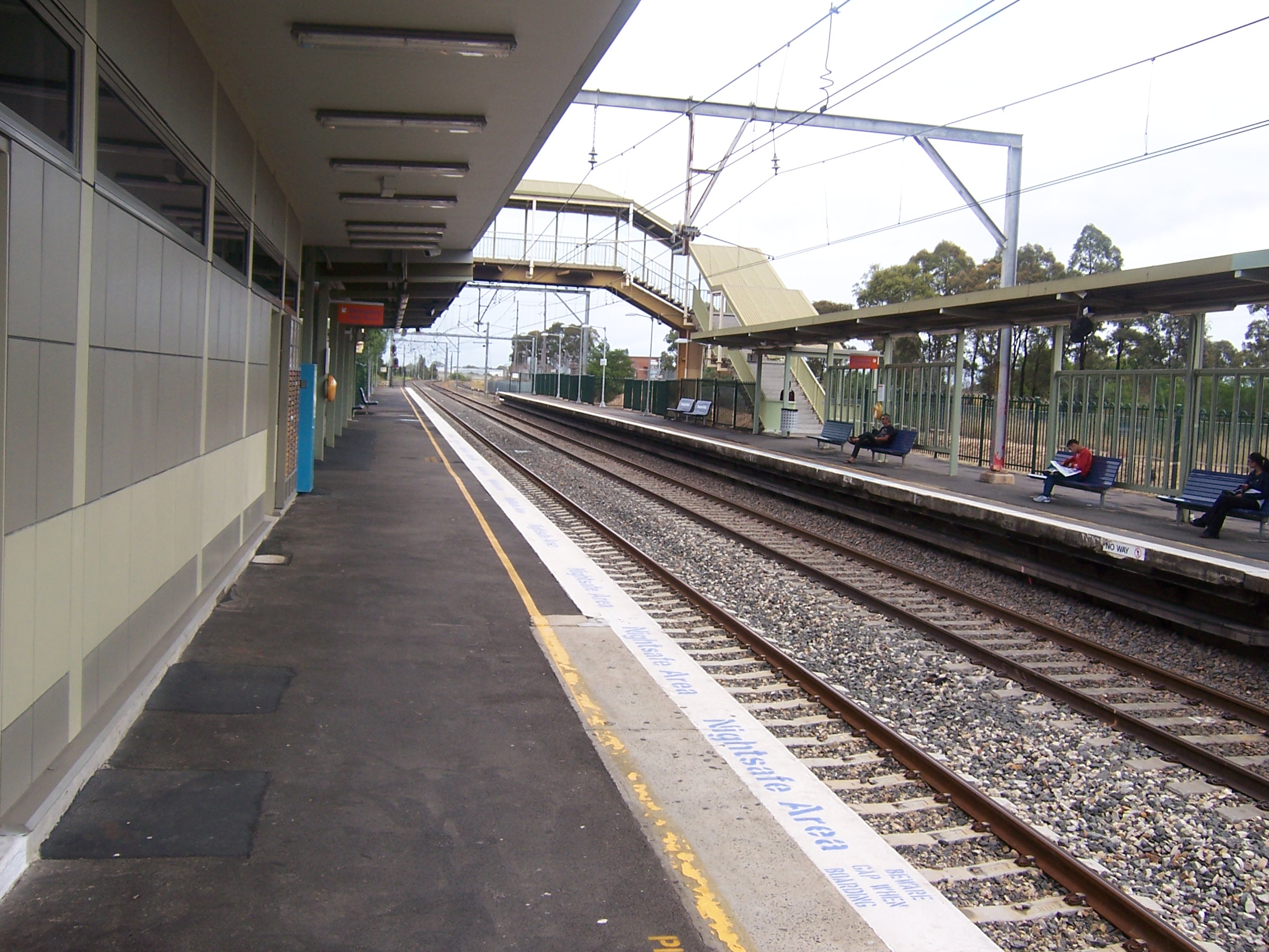
facilities= [http://www.cityrail.info/facilities/facilities.jsp?n=166&giveOutput=true&facility= Link]Macquarie Fields railway station is a railway station in the south-western suburbs of
Sydney and is situated on the Main South Line. It is served byCityRail trains of the South, East Hills and Cumberland lines. It serves a residential area, and opened in 1888cite web|work=Nswrail.net| title=Main South Line|url=http://www.nswrail.net/lines/show.php?name=NSW:main_south| accessdate=26 April| accessyear=2007] . It consists of two side platforms. A goods-only track was opened at the west of the station in 1995, part of the "Glenfield- Ingleburn passing loop". [Rogers, D. "The Glenfield- Ingleburn Passing Loop Project". Railway Digest, August 1994. ARHS (NSW Division).]Platforms/Service
The station is served by four trains per hour, two on the South line and two on the
East Hills line . These trains are not evenly spaced. There are additional trains during peak hourscite web| work=CityRail | title=CityRail Timetables | url=http://www.cityrail.info/timetable/index.jsp| accessdate=22 April | accessyear=2007] .Platform 1:
*South line colour>South Line - all stations and limited stops services to Central and theCity Circle (clockwise) (via Granville).
*Cumberland line colour>Cumberland Line - all stations services to Blacktown.
*East Hills line colour>Airport & East Hills Line - all stations and limited stops services to Central and theCity Circle (anticlockwise) (via the Airport or Sydenham).Platform 2:
*South line colour>South Line - all stations services to Campbelltown.
*Cumberland line colour>Cumberland Line - all stations services to Campbelltown.
*East Hills line colour>Airport & East Hills Line - all stations services to Campbelltown and Macarthur.Transport Links
Interline Buses runs three routes to and from Macquarie Fields railway station:
*870 - BetweenMacarthur Square and Glenfield.
*871 - toMacquarie Fields .
*873 - to Ingleburn station.
NightRide runs one route via Macquarie Fields railway station:
*N30 - Between Macarthur station and City(Town Hall).Accessibility
The station has street access to platform two, and footbridge access to platform one. As the platforms are connected by a footbridge with stairs, the station does not qualify for
Easy Access for wheelchairs.Gallery
Neighbouring stations
ee also
*
References
----
----
Wikimedia Foundation. 2010.