- Mascot railway station
-
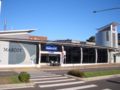
 Mascot
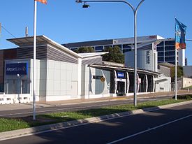
Airport & East Hills Line Station code MCO Suburb Mascot Street(s) Bourke Road
Church RoadDistance from Central Station 5.19 km Altitude (above sea level) ? m Types of stopping trains Suburban all stops
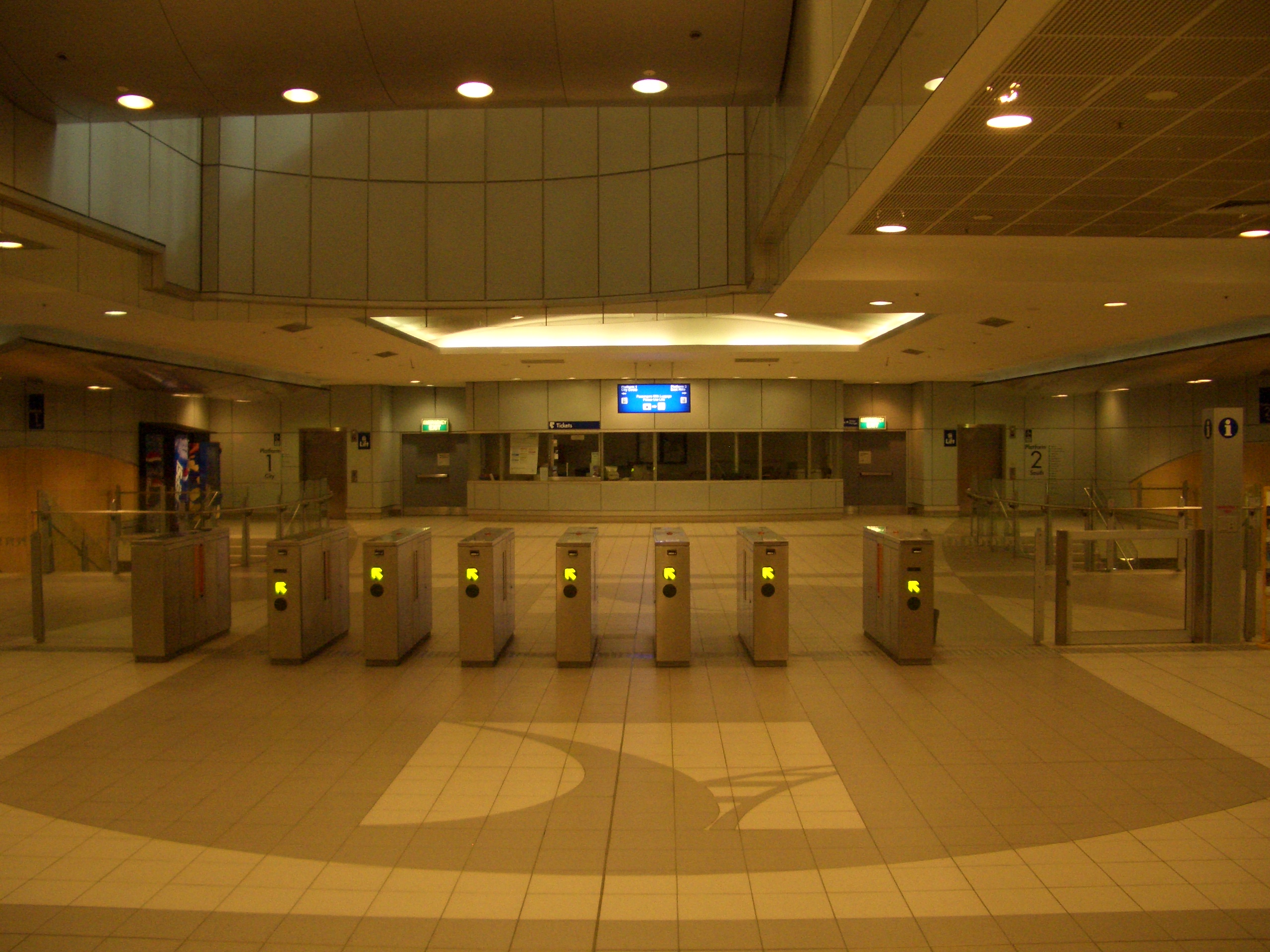
Suburban limited stopsNumber of platforms 2 Number of tracks 2 Platform arrangement 2 Side Type of station Underground Ticket barriers Yes Transfers available Bus Disabled access 
Yes Station facilities Link Mascot (also known as Mascot Suburban to avoid confusion with the neighbouring airport stations) is the second station from the city on the Airport branch of the CityRail Airport and East Hills line in Sydney. It is located in the business area of the suburb of Mascot and was opened along with the rest of the Airport branch in May 2000. The concourse of Mascot station contains the Mascot Operations Room, which is responsible for operation of the four privately operated stations on the Airport Line.[1]
Contents
History
Like other stations on this line, Mascot was built and is operated by a private company as part of a Public Private Partnership. Before March 2011, station users were required to pay a small access fee ("Gatepass") to use the station. The NSW Government reached an agreement with the station operator to pay the access fees at Mascot and Green Square on behalf of passengers.[2] As of October 2011, patronage has increased by around 70% at the two stations since the access fee was removed.[3]
Platforms and services
The station serves trains on the Airport & East Hills Line. Services runs approximately every 10–15 minutes in each direction.
The station is served by four to six trains per hour each way, with additional trains during weekday peak hours.
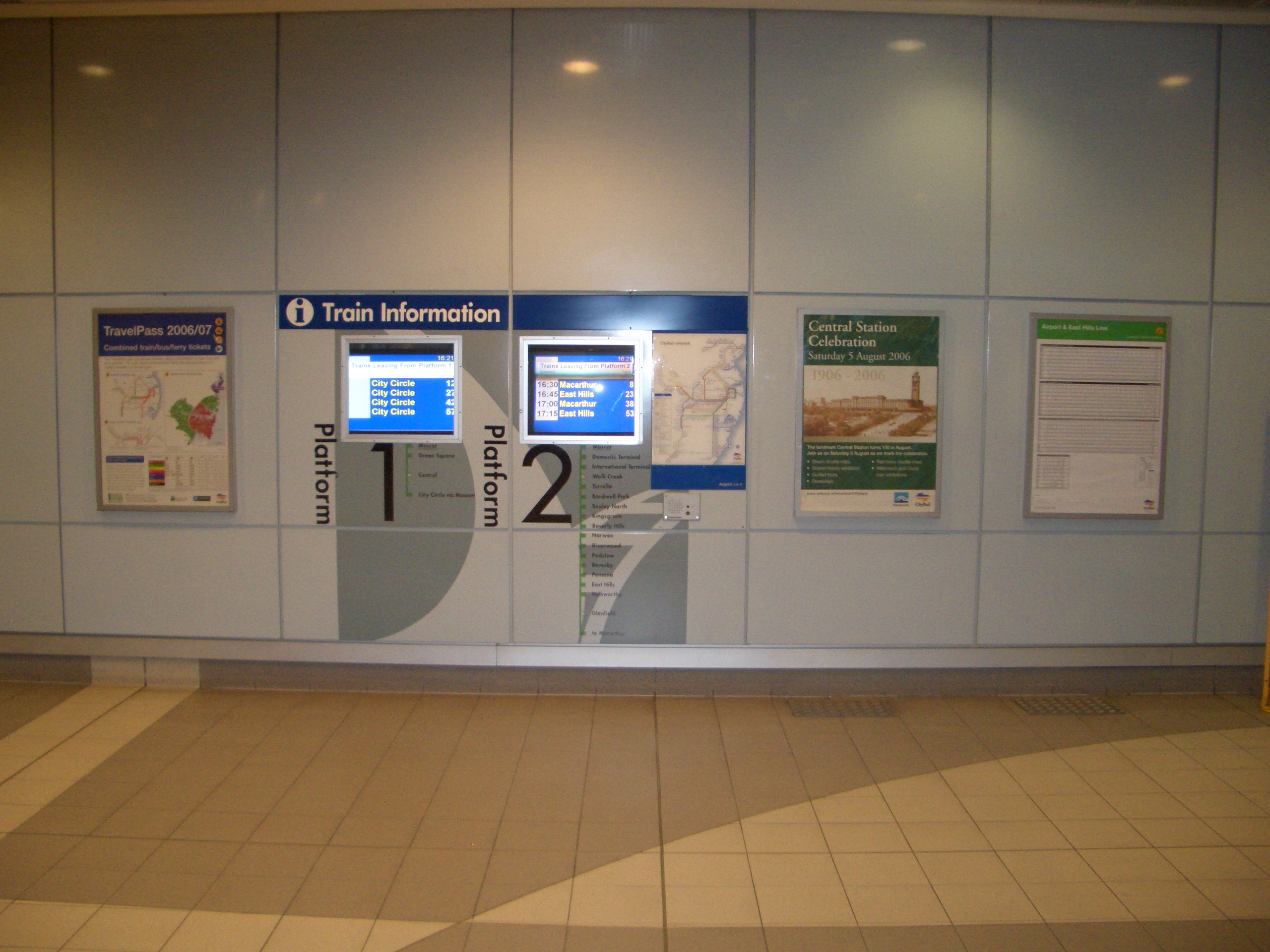
Platform Line Stopping Pattern Notes 
Airport & East Hills Line All stations services to Central and the City Circle 
Airport & East Hills Line All stations and limited stops services to Kingsgrove, Revesby, Glenfield, Campbelltown and Macarthur via the Airport Transport links
Sydney Buses runs two routes via Mascot station:
- Route 400 - west to Westfield Burwood, east to Bondi Junction Interchange (limited stops service)
- Route 410 - west to Rockdale station, east to Bondi Junction Interchange (weekday peak hour limited stops service)
-
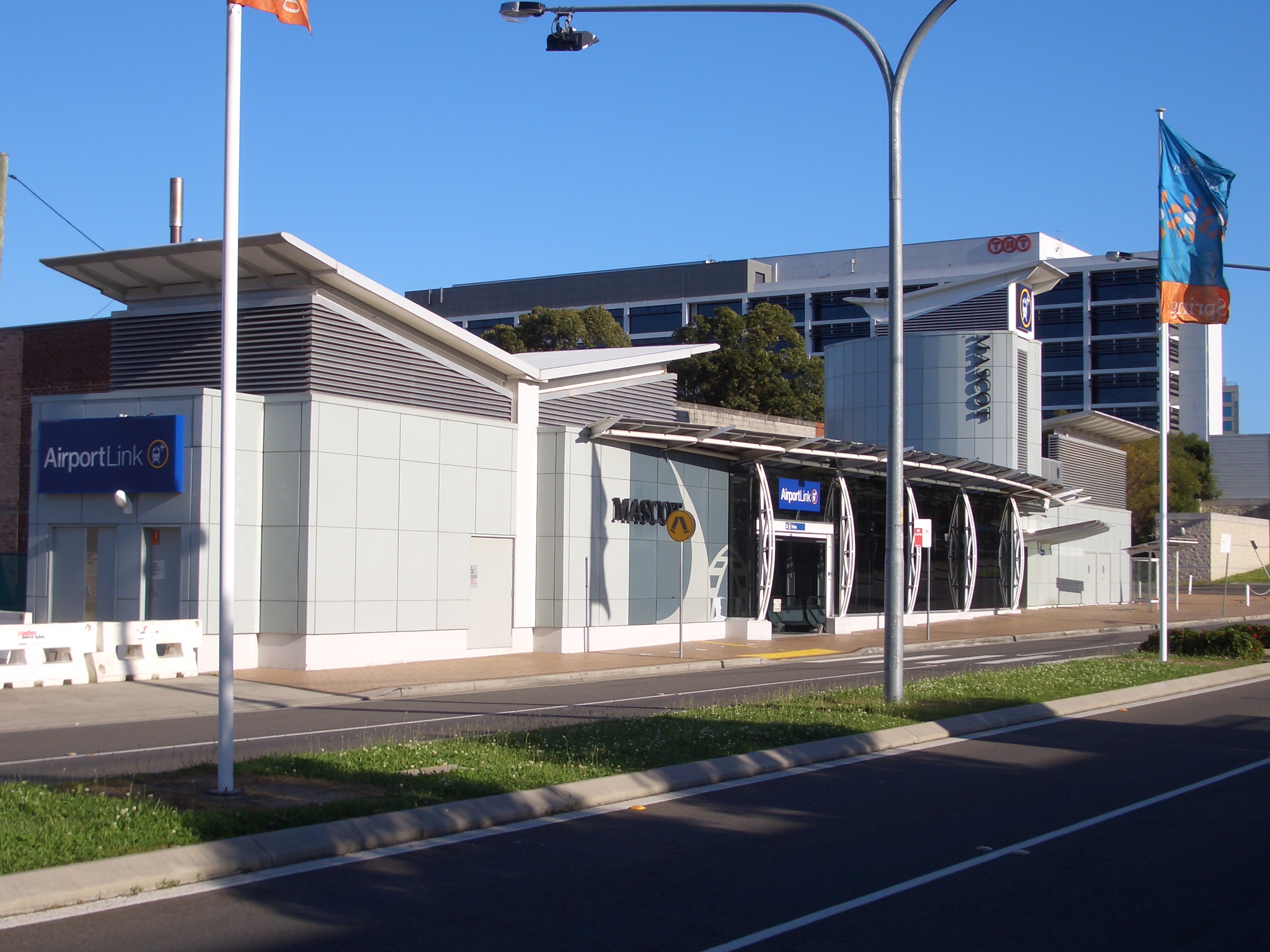
Entrance
-

Entry barriers
-
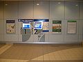
Indicator boards
See also
Preceding station CityRail Following station towards MacarthurAirport and East Hills Line Green Squaretowards CentralReferences
- ^ The Opening of Sydney's New Southern Railway, Transit Australia, Vol 55 no 7, July 2000.
- ^ Green Square and Mascot commuters to save $17 a week CityRail. 2 March 2011.
- ^ "Budget Estimates Committee hearing transcript". October 25, 2011. pp. 11. http://www.parliament.nsw.gov.au/prod/parlment/committee.nsf/0/a966fd9e1deb4e33ca2579350019758c/$FILE/20111025_Transport.pdf#page=10. Retrieved November 15, 2011.
Coordinates: 33°55′21″S 151°11′14″E / 33.922533°S 151.187262°E
Categories:- Railway stations in Sydney
- Railway stations opened in 2000
- Sydney rail transport stubs


Wikimedia Foundation. 2010.