- Fort MacKay, Alberta
-
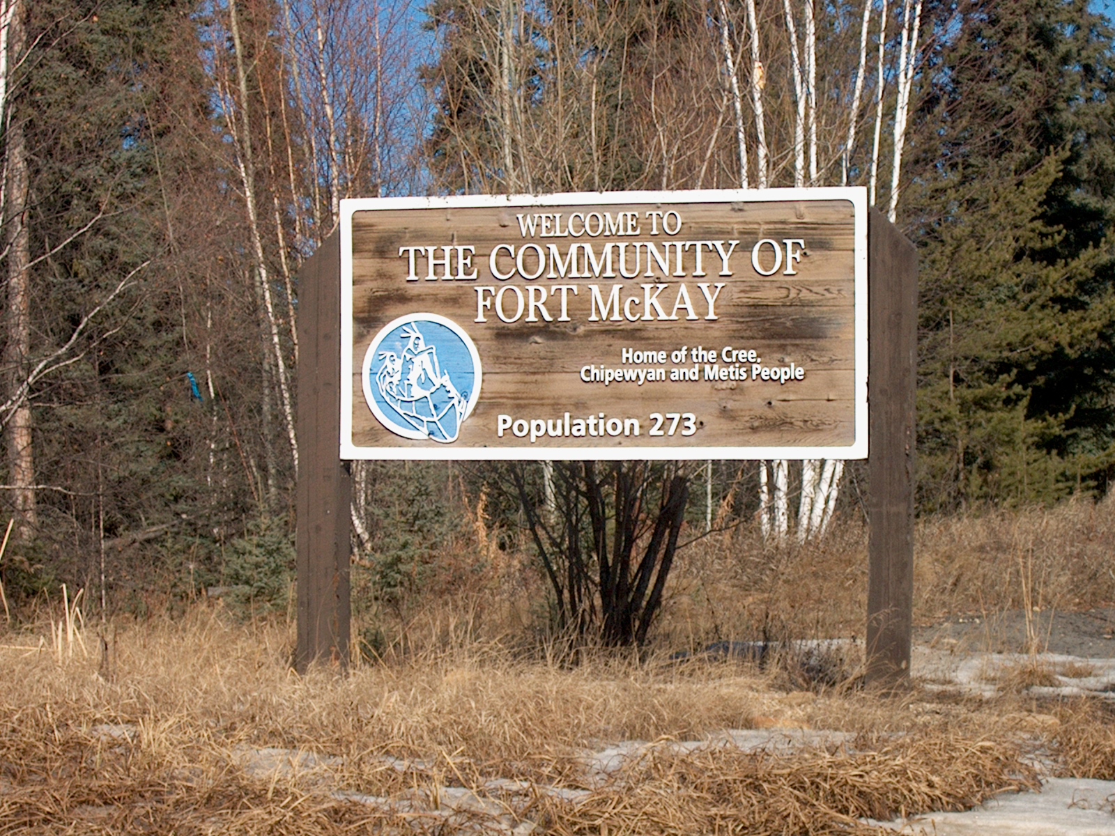
Hamlet of Fort MacKay
(Community of Fort McKay)— Hamlet — Fort McKay First Nation's welcome sign for the community Location of Fort MacKay in Alberta
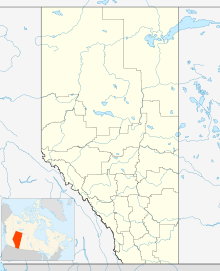

Coordinates: 57°11′12″N 111°38′12″W / 57.18676°N 111.63676°WCoordinates: 57°11′12″N 111°38′12″W / 57.18676°N 111.63676°W Country  Canada
Province  Alberta
Census division No. 16 Specialized municipality R.M. of Wood Buffalo Government – Type Unincorporated – Mayor Melissa Blake – Governing body Wood Buffalo Municipal Council- Mike Allen
- David Allen Blair
- Sonny Flett
- Sheldon Germain
- Dave Kirschner
- Phil Meagher
- Don Scott
- Jane Stroud
- Russel Thomas
- Allan Glenn Vinni
Elevation 260 m (853 ft) Time zone MST (UTC-7) Fort MacKay, or Fort McKay, is a hamlet in northern Alberta, Canada within the Regional Municipality (R.M.) of Wood Buffalo.[1][2][3]
It is located on the western shore of the Athabasca River. It is 6 km (3.7 mi) from Highway 63, approximately 54 km (34 mi) north of Fort McMurray, and has an elevation of 260 m (850 ft).
The hamlet is located in census division No. 16 and in the federal riding of Fort McMurray-Athabasca.
Contents
Name
The hamlet was named in 1912 after Dr. Williams Morrison McKay, the first president of the Northern Alberta Medical Association.[3][2] Despite this, the official spelling of the hamlet's name is Fort MacKay according to the R.M. of Wood Buffalo and Alberta Municipal Affairs.[2][1] The community's name is spelled Fort McKay by the Fort McKay First Nation.[3]
Economy
The economy is centered around the development of the Athabasca oil sands to the immediate south and north of Fort MacKay. Motorists traveling north on Highway 63 pass through oil sands developments en route to the hamlet.
Demographics
The population of Fort MacKay according to the R.M. of Wood Buffalo's 2007 municipal census is 737.[4] The subsequent 2008 municipal census recorded a population of 862.[5] However, with the overall 2008 municipal census result for the R.M. of Wood Buffalo not being accepted by Alberta Municipal Affairs due to the use of extrapolation,[6] Fort MacKay's 2008 population may be more of an estimate compared to its 2007 figure.
Statistics Canada has not recently published a population for Fort MacKay.
However, Industry Canada shows that Fort MacKay's greater rural area had a total population of 437 living in 149 dwellings in 2001. With a land area of 8.2 km2 (3.2 sq mi), its greater rural area has a population density of 16.0 /km2 (41 /sq mi).[7]
Transportation
Fort MacKay is served by the Fort MacKay/Horizon Airport (IATA: N/A, ICAO: CYNR).
See also
- List of communities in Alberta
- List of hamlets in Alberta
References
- ^ a b "Specialized and Rural Municipalities and Their Communities". Alberta Municipal Affairs. 2010-04-01. http://municipalaffairs.gov.ab.ca/documents/msb/2010-ruralmun.pdf. Retrieved 2010-07-10.
- ^ a b c "Fort MacKay". Regional Municipality of Wood Buffalo. http://www.woodbuffalo.ab.ca/Living_2227/Communities/Fort-MacKay.htm. Retrieved 2011-05-13.
- ^ a b c "About Fort McKay". Fort McKay First Nation. http://www.fortmckay.com/Front-Page.html. Retrieved 2011-05-13.
- ^ "2007 Municipal Census Report". Regional Municipality of Wood Buffalo. http://www.woodbuffalo.ab.ca/Assets/Corporate/Census+Reports/2007+Municipal+Census.pdf. Retrieved 2011-05-13.
- ^ "2008 Municipal Census Report". Regional Municipality of Wood Buffalo. 2009-06-01. http://www.woodbuffalo.ab.ca/Assets/Corporate/Census+Reports/2008_municipal_census.pdf. Retrieved 2011-05-13.
- ^ "Wood Buffalo’s population passes 100,000, reports 2008 Municipal Census". Regional Municipality of Wood Buffalo. 2009-07-15. http://www.woodbuffalo.ab.ca/News-Room/Media-Releases/Wood-Buffalo-s-population-passes-100-000--reports-2008-Municipal-Census_s2_p588.htm. Retrieved 2011-05-13.
- ^ "Fort MacKay - Community demographics (2001 census)". Industry Canada/Web Archive. 2006-11-04. http://www.collectionscanada.gc.ca/webarchives/20061104084225/http://broadband.gc.ca/maps/province.html?prov=48. Retrieved 2010-02-07.

Wood Buffalo National Park Fort Chipewyan 
Saskatchewan  Fort MacKay

Wabasca Fort McMurray La Loche  Subdivisions of Alberta
Subdivisions Regions · Census divisions · Municipal districts (counties) · Specialized municipalities · School districts · Regional health authoritiesCommunities Cities · Towns · Villages · Summer villages · Hamlets · Indian reserves · Métis settlements · Ghost towns · Designated placesCities and Urban
Service AreasAirdrie · Brooks · Calgary · Camrose · Cold Lake · Edmonton (capital) · Fort McMurray · Fort Saskatchewan · Grande Prairie · Lacombe · Leduc · Lethbridge · Lloydminster · Medicine Hat · Red Deer · Sherwood Park · Spruce Grove · St. Albert · WetaskiwinFirst Nations in Alberta Cultural areas Plains · SubarticNumbered Treaties Ethno-cultural groups and languages First Nation
governments (bands)Alexander · Alexis · Athabasca Chipewyan · Bearspaw · Beaver · Beaver Lake Cree · Bigstone Cree · Chiniki · Chipewyan Prairie · Cold Lake · Dene Tha' · Driftpile · Duncan's · Enoch Cree · Ermineskin Cree · Fort McKay · Fort McMurray · Frog Lake · Heart Lake · Horse Lake · Kainai · Kapawe'no · Kehewin Cree · Little Red River Cree · Loon River · Louis Bull · Lubicon Lake · Mikisew Cree · Montana · O'Chiese · Paul · Piikani · Saddle Lake · Samson Cree · Sawridge · Siksika · Smith's Landing · Sturgeon Lake · Sucker Creek · Sunchild · Swan River · Tallcree · Tsuu T'ina · Wesley · Whitefish Lake (Atikameg) · Whitefish Lake (Goodfish) · Woodland CreeCategories:- Hamlets in Alberta
- Wood Buffalo, Alberta
- Hudson's Bay Company trading posts

Wikimedia Foundation. 2010.