- Đông Nam Bộ
-
 Map showing location of Dong Nam Bo (Southeast Vietnam)
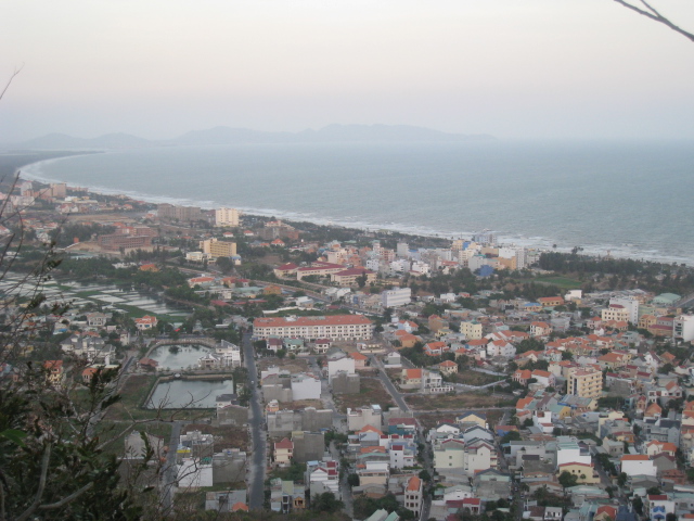
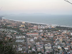 Vung Tau city
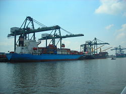 Saigon Port
Đông Nam Bộ (literally "South-eastern region") is a region in Vietnam. This region includes one municipality, Ho Chi Minh City; and five provinces: Dong Nai, Binh Duong, Ba Ria-Vung Tau Province, Binh Phuoc and Tay Ninh. This region is the most economically developed region in Vietnam. In 2006, this region contributed 148,000 billion VND (equal to $9.25 billion) out of 251,000 billion VND to the state budget.[1] This region is also the highest urbanized in the country with more than 50% people living in urban area (while the same figure for Vietnam is just 25%).
Contents
Provinces
Principal cities
- Ho Chi Minh City is the largest city of Vietnam, with a population of more than 7.2 million; the metropolitan population is nearly 10 million.
- Bien Hoa is an industrial city where Bien Hoa Air Base is located. It is part of the Ho Chi Minh City Metropolitan Area.
- Vung Tau is the hub of Vietnam's petroleum industry, as well as being a tourist destination.
- Tay Ninh Town, where Caodaism was born.
- Thu Dau Mot, an industrial town. It is actually a part of Ho Chi Minh City Metropolitan Area
- Dong Xoai Town, the capital of Binh Phuoc Province.
- Phan Thiet Town, the capital of Binh Thuan Province.
Transport
Tan Son Nhat International Airport is the largest airport in Vietnam, with the passenger traffic of 8.5 million in 2006 but it will be replaced by a larger newly constructed airport, Long Thanh International Airport after 2010. Lien Khuong Airport is an important airport in this area. Saigon Port and several deep-water ports in Ba Ria-Vung Tau are the busiest ports in the country. National 1A and National Road 51, and TransAsia Highway are the principal roads in this region.
References
Categories:- Đông Nam Bộ Region
- Regions of Vietnam
- Geography of Vietnam
- Vietnam geography stubs

Wikimedia Foundation. 2010.