- Columbia, San Diego
-
Columbia — Neighborhood of San Diego — The Columbia district undergoing redevelopment. Location within Central San Diego
 Columbia
Coordinates: 32°43′0.04″N 117°10′5.68″W / 32.7166778°N 117.1682444°W Area[1] – Total 1.1 km2 (0.429 sq mi) – Land 1.1 km2 (0.429 sq mi) Population (2008)[1] – Total 3,772 – Density 3,398.5/km2 (8,802/sq mi) Population data for Core-Columbia ZIP Code 92101 Area code(s) 619 Columbia is a neighborhood located in Downtown San Diego, California. The neighborhood is largely commercial, however there are a large number of highrise condominium buildings under construction.
The Midway Aircraft Carrier Museum and the Maritime Museum are located in this neighborhood.
Contents
Geography
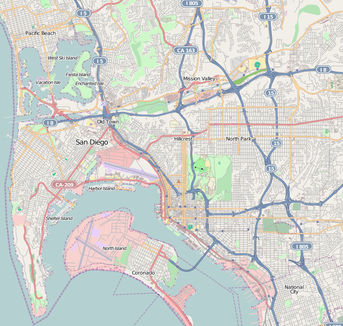
Columbia is located south of Little Italy, north of the Marina District, and west of Core and the Horton District. This district is bordered by Ash Street to the north, F Street to the south, Union Street to the east and the Pacific Ocean to the west.[2]
The Santa Fe Depot is served by the Trolley, the Coaster and the Pacific Surfliner.
Redevelopment
Parts of Columbia are under re-development, including the North Embarcadero Visionary Plan, Navy Broadway Complex and the Embarcadero Circle cruise ship terminal expansion. As of March 16, 2007, there are seven high-rise buildings scheduled for or currently under construction: five of these buildings are condominiums, one is office, and one is a Federal court house; six buildings have more than 20 floors, four buildings have more than 30 floors, and one building has more than 40 floors.[3]
External links
References
- ^ a b [1] Data for the Core-Columbia district
- ^ Neighborhood Map. Centre City Development Corporation. Retrieved on 2007-09-18.
- ^ "CCDC Interactive Projects Map". Centre City Development Corporation. Archived from the original on 2007-03-21. http://web.archive.org/web/20070321160714/http://www.ccdc.com/index.cfm/fuseaction/projects.interactivemap. Retrieved 2007-04-03.
Neighborhoods of San Diego Northern Bay Ho · Bay Park · Carmel Valley · Clairemont · Del Mar Heights · Del Mar Mesa · La Jolla · La Jolla Village · Mission Beach · North City · Pacific Beach · Pacific Highlands Ranch · Torrey Hills · Torrey Pines · University City · Village of La JollaNortheastern Black Mountain Ranch · Carmel Mountain Ranch · Mira Mesa · Miramar · Rancho Bernardo · Rancho Encantada · Rancho Peñasquitos · Sabre Springs · San Pasqual Valley · Scripps Ranch · Sorrento Valley · Sorrento Mesa · Torrey HighlandsEastern Birdland · Kearny Mesa · Mission Valley East · Navajo (Allied Gardens · Del Cerro · Grantville · San Carlos) · Serra Mesa · TierrasantaWestern Burlingame · Hillcrest · Linda Vista · Midtown · Mission Hills · Mission Valley West · Morena · North Park · Ocean Beach · Old Town · Point Loma (La Playa · Liberty Station · Loma Portal · Midway · Point Loma Heights · Roseville-Fleetridge · Sunset Cliffs · Wooded Area) · University HeightsCentral Downtown (Columbia · Core · Cortez Hill · East Village · Gaslamp Quarter · Harborview · Little Italy · Marina) · Balboa Park · Bankers Hill · Barrio Logan · Golden Hill · Grant Hill · Logan Heights · Middletown · Sherman Heights · South Park · StocktonMid-City Adams North · Azalea/Hollywood Park · Castle · Cherokee Point · Chollas Creek · City Heights · Colina del Sol · College Area · Corridor · Darnall · El Cerrito · Fairmont Park · Fox Canyon · Gateway · Islenair · Kensington · Normal Heights · Oak Park · Ridgeview · Redwood Village · Rolando · Swan Canyon · Talmadge · Teralta · WebsterSoutheastern Alta Vista · Bay Terraces · Broadway Heights · Chollas View · Emerald Hills · Encanto · Jamacha-Lomita · Lincoln Park · Mountain View · Mount Hope · Paradise Hills · Shelltown · Skyline · Southcrest · Valencia ParkSouthern Border · Egger Highlands · Nestor · Ocean View Hills · Otay Mesa · Otay Mesa West · Palm City · San Ysidro · Tijuana River ValleyCoordinates: 32°43′0.04″N 117°10′5.68″W / 32.7166778°N 117.1682444°W
Categories:- Neighborhoods in San Diego, California
- Urban communities in San Diego, California
- San Diego County, California geography stubs

Wikimedia Foundation. 2010.