- Cole Henley
-
Coordinates: 51°15′22″N 1°19′43″W / 51.256210°N 1.3285296°W
Cole Henley 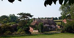
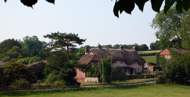
Cottages at Cole Henley
 Cole Henley
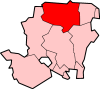
Cole Henley shown within HampshireOS grid reference SU4695550997 District Basingstoke and Deane Shire county Hampshire Region South East Country England Sovereign state United Kingdom Post town WHITCHURCH Postcode district RG28 7 Dialling code 01256 Police Hampshire Fire Hampshire Ambulance South Central EU Parliament South East England UK Parliament Basingstoke List of places: UK • England • Hampshire Cole Henley is a hamlet and civil parish in the Basingstoke and Deane district of Hampshire, England. Its nearest town is Whitchurch, which lies approximately 3.1 miles (5.1 km) south-east from the hamlet, just off the A34 road.
Categories:- Hampshire geography stubs
- Villages in Hampshire
- Basingstoke and Deane

Wikimedia Foundation. 2010.