- Civic railway station
-
 Civic
Civic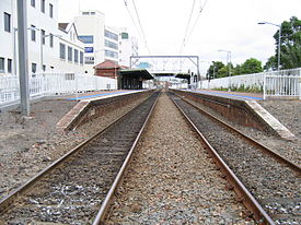
Newcastle & Central Coast Line Hunter Line Station code CVI Suburb Civic Street(s) Hunter Street Distance from Central Station 167.02[1] km Altitude (above sea level) 1.2[1] m Types of stopping trains Intercity
Regional
Suburban/LocalNumber of platforms 2 Number of tracks 2 Platform arrangement 2 Side Type of station Ground Ticket barriers No Transfers available Bus Disabled access 
Yes Station facilities Link Civic railway station was originally named Newcastle railway station and was opened 30 Mar 1857. It was then renamed Honeysuckle (9 Mar 1858) and renamed again to Honeysuckle point (1 Sep 1866). The station was closed in 1872 only to be reopened as its current name of Civic on 22 Dec 1935.[1] Civic railway station is located in Newcastle, New South Wales, Australia on the Newcastle & Central Coast Line, and the Hunter Line.The station is a side station with two platforms. The station is served by intercity trains to Sydney, Maitland, Dungog and Scone.
Platforms and services
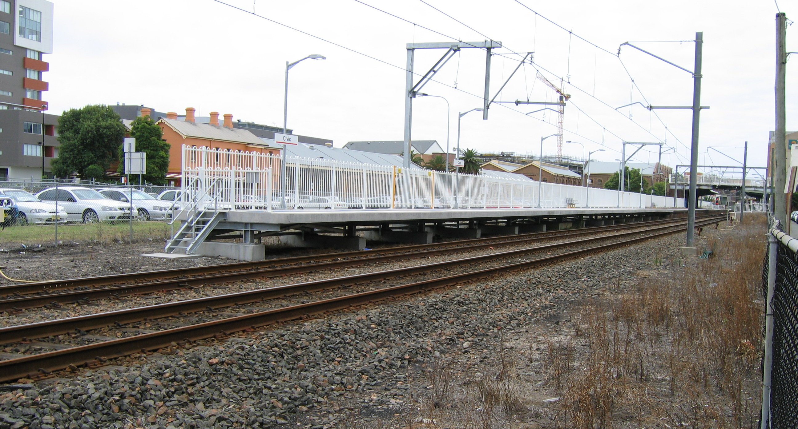
The station has platforms six carriages long, passengers on longer trains are required to use the rear six carriages.
To reduce delays to road traffic at the adjacent level crossing, the Newcastle bound platform was lengthened and the signal protecting the level crossing was relocated.[2] Previously, the level crossing remained closed from when a train approached the platform, for the whole time that the train was stopped and until the train cleared the level crossing. As a result of this platform modification, the level crossing does not close until the train is ready to depart from the platform.
Platform Line Stopping Pattern Notes 
Newcastle & Central Coast Line local electric services and intercity electric services to Newcastle Hunter Line diesel rail-car services to Newcastle 
Newcastle & Central Coast Line local electric services to Morisset and intercity electric services Gosford, Hornsby and Central (via Strathfield) Hunter Line diesel rail-car services to Maitland, Telarah, Dungog, Muswellbrook and Scone Gallery
-
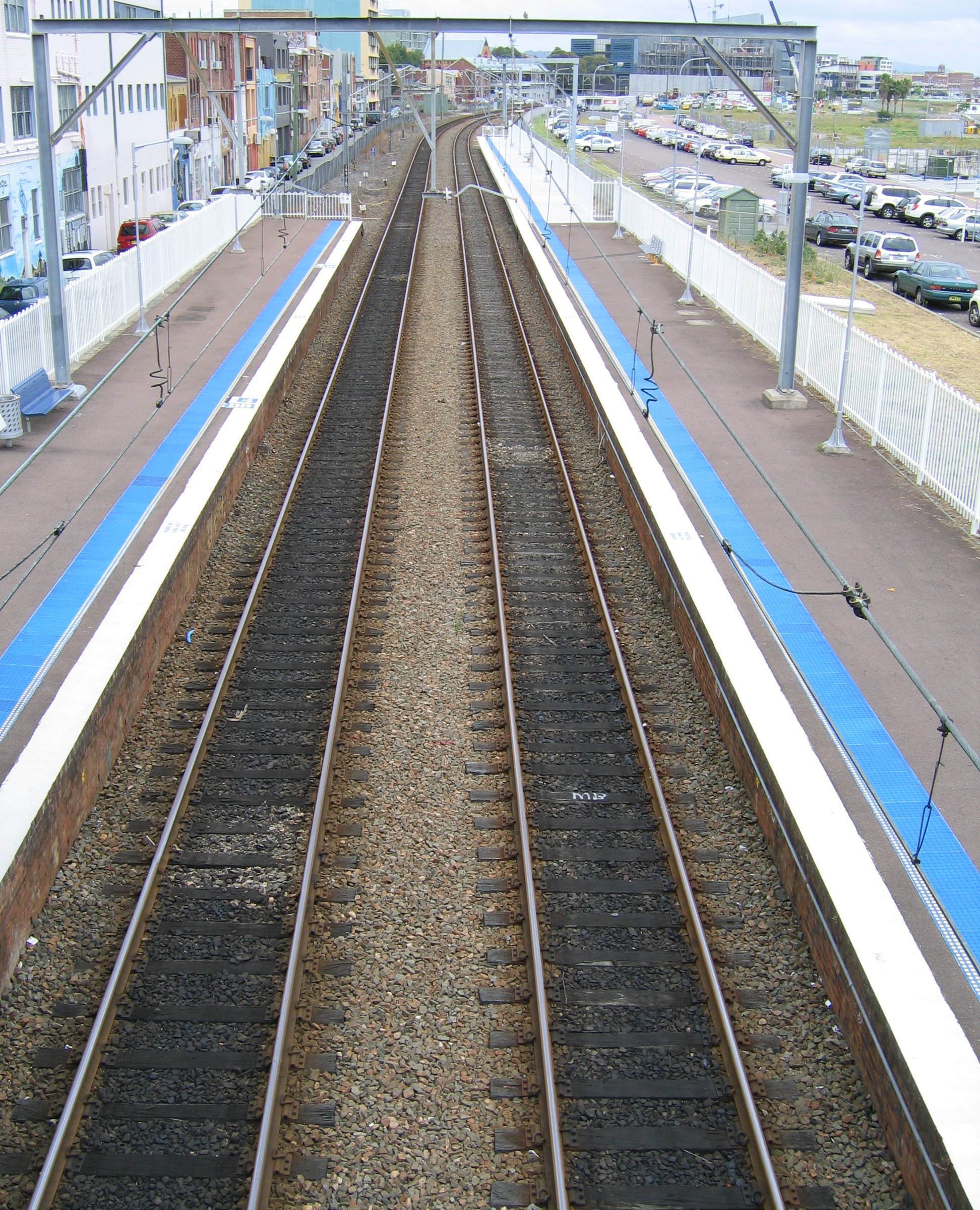
looking east from footbridge
-
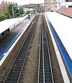
looking west from footbridge
-
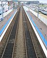
up platform extension
-
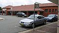
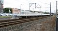
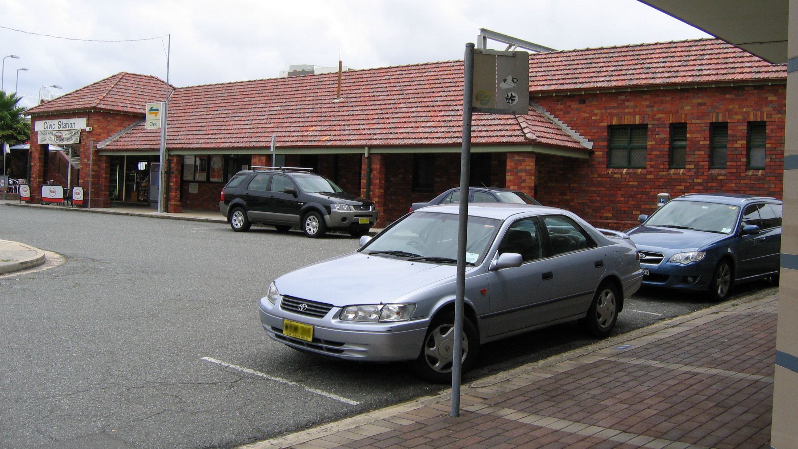
Station facade from road
References
- ^ a b c Station Names. Date of opening, closing and/or change of name. Public Transport Commission of New South Wales. Administrative Branch (Archives Section) (3rd ed.). February 1979 [1965]. p. 08.
- ^ Newcastle Rail Corridor Project Upgrades, NSW Government, p. 2, http://www.premiers.nsw.gov.au/NR/rdonlyres/B261FCAF-78B7-40F3-9D47-96755C561621/0/ProjectSummarySheetNRC.pdf, retrieved 26 November 2006
Preceding station CityRail Following station towards Dungog or SconeHunter Line Terminustowards CentralNewcastle and Central Coast Line TerminusSignificant places and items of interest in the Hunter Region of New South Wales Commerce and industry IndustryDarley Stud • Hunter Valley Coal Chain • Hunter Valley wine • Kia-Ora stud • Kooragang Island • Newcastle Port Corporation • Tomago aluminium smelterShoppingOtherEducation PrimarySecondaryAll Saints College, St Joseph's Campus • Avondale School • Hunter School of the Performing Arts • Hunter Valley Grammar School • Irrawang High School • Lambton High School • Maitland Grossmann High School • Maitland High School • Merewether High School • Newcastle Grammar School • Newcastle High School • Rutherford Technology High School • Tomaree High SchoolTertiaryEntertainment, sport & culture Broadmeadow Basketball Stadium • Dungog Film Festival • Hunter Valley Steamfest • Newcastle Civic Theatre • Newcastle Entertainment Centre • Newcastle International Sports Centre • Newcastle Number 1 Sports Ground • Newcastle Regional ShowGeography GeneralBroughton Island • Burning Mountain • Cape Hawke • Glenrock Lagoon • Lake Macquarie • Myall Lakes • Mount Royal Range • Mount Sugarloaf • Port Stephens • Stockton Beach • Tops to Myall Heritage TrailNational parksBarrington Tops National Park • Black Bulga State Conservation Area • Booti Booti National Park • Ghin-Doo-Ee National Park • Mount Royal National Park • Myall Lakes National Park • Tomaree National Park • Towarri National Park • Wallingat National Park • Watagans National Park • Werakata National ParkRiversAvon River • Barrington River • Chichester River • Gloucester River • Goulburn River • Hunter River • Karuah River • Manning River • Myall River • Pages River • Paterson River • Williams RiverHistorical Air transportDefenceEducationGeneralHistory of Newcastle, New South Wales • Hunter Valley cannabis infestation • Lake Macquarie Petrified Forest • Maitland Gaol • Nobbys Head • Royal Newcastle Hospital • Tahlee historic propertyIndustryCockle Creek Power Station • Cockle Creek Smelter • South Maitland coalfields • South Waratah Colliery • State Dockyard • Teralba Colliery • Walka Water Works • Wangi Power StationMaritimeNatural disasters1989 Newcastle earthquake • June 2007 Hunter Region and Central Coast storms • Seaham bushfires (1939)PeopleRailGeneralHunter Valley Railway Trust • Hunter Valley Steamfest • Murulla rail accidentRailway linesBelmont railway line • East Maitland – Morpeth railway line • Fernleigh Track • Richmond Vale Railway • South Maitland Railway • Toronto railway lineRailway stationsTramsWine makingWorld War IINo. 2 Fighter Sector RAAF • No. 208 Radar Station RAAF • HMAS Assault • Belmont Anti-Tank Ditch • Lake Macquarie anti-submarine boom • Newcastle Covering Force • RAAF Base Rathmines • Shelling of NewcastleInfrastructure TransportRoadBus routes in Newcastle, New South Wales • Bucketts Way • Golden Highway • Hunter Expressway • New England Highway • Newcastle Inner City Bypass • Pacific Highway • Putty Road • Sydney-Newcastle Freeway • Tea Gardens-Hawks Nest Bridge • Thunderbolts WayRailway linesHunter • Main North • Newcastle and Central CoastRailway stationsAberdeen • Adamstown • Awaba • Beresfield • Booragul • Branxton • Broadmeadow • Cardiff • Civic • Cockle Creek • Dora Creek • Dungog • East Maitland • Fassifern • Glendale • Greta • Hamilton • Hexham • High Street • Hilldale • Kotara • Lochinvar • Maitland • Martins Creek • Metford • Mindaribba • Morisset • Muswellbrook • Newcastle • Paterson • Sandgate • Scone • Singleton • Tarro • Telarah • Teralba • Thornton • Victoria Street • Wallarobba • Warabrook • Waratah • Wickham • Wirragulla • WyeeAirUtilitiesElectricity generationBayswater Power Station • Eraring Power Station • Lake Liddell • Liddell Power Station • Redbank Power Station • Teralba Colliery • Vales Point Power StationWater supplyMedia Other DefenceGeneralHospitalsCoordinates: 32°55′35″S 151°46′21″E / 32.9265°S 151.7726°E
Categories:- Regional railway stations in New South Wales
- Railway stations opened in 1857
- Transport in Hunter Region, New South Wales
- Newcastle, New South Wales
- New South Wales rail transport stubs
-


Wikimedia Foundation. 2010.