- Putty Road
Infobox Australian Road
road_name = Putty Road
route_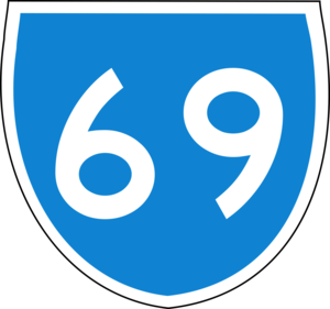
route_
route_
photo =
caption =
length = 172
direction = North-South
start = "'
finish =
est =
through = Mount Thorley, Bulga, Howes Valley, Putty, Colo Heights, Colo, Wilberforce
route = "Mount Thorley East - Mount Thorley:" )
exits = Windsor RoadPutty Road is a
New South Wales country road linking Windsor, on the fringes ofSydney , to Singleton. It is designated as State Route 69 and is about 150 kilometres long. It is the northern end of State Route 69, connecting withMetroad 9 in Windsor andNew England Highway in Singleton. It links the Sydney's West to theHunter Valley with its famous vineyards.The Putty Road is very historic, closely following the Bulga Road (named after the Bulga Creek), first explored by John Howe, Chief Constable of Windsor, being the first road to link Sydney to the Hunter Valley. It was opened in 1823 and initially a popular cattle-rustling route.
Today, the road is fully sealed and passes through Colo and the Wollemi National Park (where the rare
Wollemi Pine can be found). This road is narrow and winding in places and very scenic. It can be hazardous during wet weather. The Putty Road enters the Hunter Valley at the northern end of the Howes Creek gorge. The road is very popular with tourists, motorcyclists and cyclists.The
Golden Highway uses around 2km of The Putty Road near Singleton and the eastern end of the Golden Highway can be used to get to the New England Highway, bypassing Singleton.Towns
*Singleton
*Bulga
*Colo
*Garland Valley
*Howes Valley
*Milbrodale
*Putty
*WindsorSee also
*
Highways in Australia
*List of highways in New South Wales

Wikimedia Foundation. 2010.