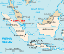
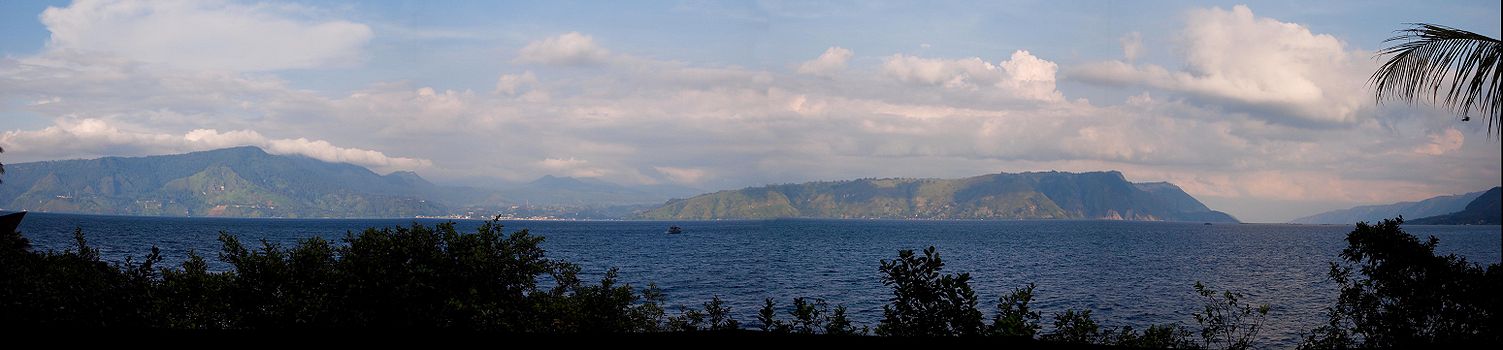
- Lake Toba
-
Lake Toba 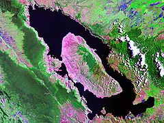
Landsat photo Location North Sumatra, Indonesia Coordinates 2°41′04″N 98°52′32″E / 2.6845°N 98.8756°ECoordinates: 2°41′04″N 98°52′32″E / 2.6845°N 98.8756°E Lake type Volcanic/ tectonic Primary outflows Asahan River Basin countries Indonesia Max. length 100 km (62 mi) Max. width 30 km (19 mi) Surface area 1,130 km2 (440 sq mi) Max. depth 505 m (1,657 ft)[1] Water volume 240 km3 (58 cu mi) Surface elevation 905 m (2,969 ft) Islands Samosir References [1] Lake Toba (Indonesian: Danau Toba) is a lake and supervolcano. The lake is 100 kilometres long and 30 kilometres wide, and 505 metres (1,666 ft) at its deepest point. Located in the middle of the northern part of the Indonesian island of Sumatra with a surface elevation of about 900 metres (2,953 ft), the lake stretches from 2°53′N 98°31′E / 2.88°N 98.52°E to 2°21′N 99°06′E / 2.35°N 99.1°E. It is the largest lake in Indonesia and the largest volcanic lake in the world.[1]
Lake Toba is the site of a supervolcanic eruption that occurred 69,000–77,000 years ago,[2][3][4] a massive, climate-changing event. The eruption is believed to have had a VEI intensity of 8. It is believed to be the largest explosive eruption anywhere on Earth in the last 25 million years. According to the Toba catastrophe theory to which some anthropologists and archeologists subscribe, it had global consequences, killing most humans then alive and creating a population bottleneck in Central Eastern Africa and India that affected the genetic inheritance of all humans today.[5] However, this theory has been the subject of considerable debate due to lack of evidence for any other animal decline or extinction, even in environmentally sensitive species.[6] However, it has been accepted that the eruption of Toba led to a volcanic winter with a worldwide decline in temperatures between 3 to 5 °C (5 to 9 °F), and up to 15 °C (27.0 °F) in higher latitudes.
Contents
Geology
The Toba caldera complex in Northern Sumatra, Indonesia consists of four overlapping volcanic craters that adjoin the Sumatran "volcanic front". The youngest and fourth caldera is the world's largest Quaternary caldera (100 km (62 mi) by 30 km (19 mi)) and intersects the three older calderas. An estimate of 2,800 km3 (670 cu mi) of dense-rock equivalent pyroclastic material, known the Youngest Toba tuff, was blasted from the youngest caldera during one of the largest single explosive volcanic eruptions in geologic history. Following the "Youngest Toba tuff eruption", a typical resurgent dome formed within the new caldera, joining two half-domes separated by a longitudinal graben.[3]
There are at least four cones, four stratovolcanoes and three craters visible in the lake. The Tandukbenua cone on the NW edge of the caldera is relatively lacking in vegetation, suggesting a young age of only several hundred years. Also, the Pusubukit volcano on the south edge of the caldera is solfatarically active.[7]
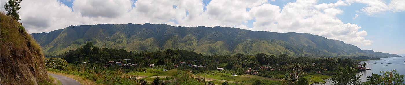 Panoramic view of the town of Ambarita on Samosir, Lake Toba
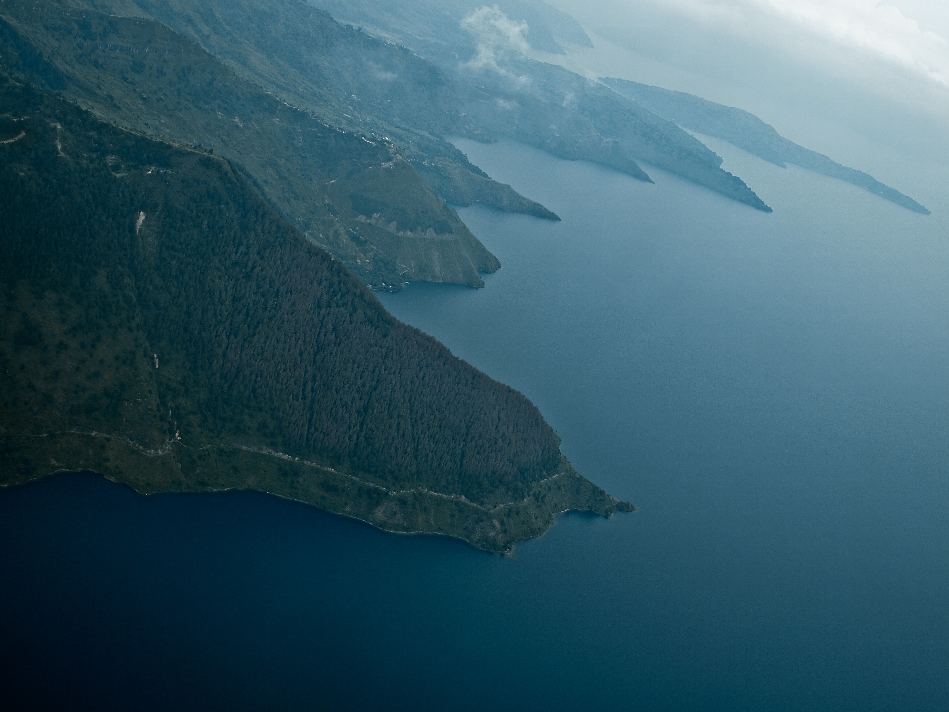
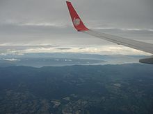 Lake Toba Aerial View
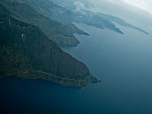 Aerial view of the southern shore with Sibandang Island visible in the background.
The eruption
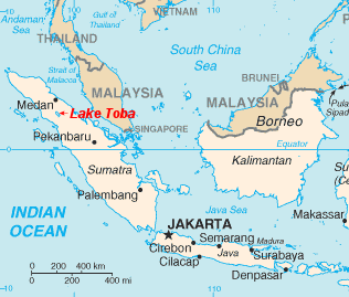
 Location of Lake Toba shown in red on map.
The Toba eruption (the Toba event) occurred at what is now Lake Toba about 67,500 to 75,500 years ago.[8] The Toba eruption was the latest of a series of at least three caldera-forming eruptions which have occurred at the volcano, with earlier calderas having formed around 700,000 and 840,000 years ago.[9] The last eruption had an estimated Volcanic Explosivity Index of 8 (described as "mega-colossal"), making it possibly the largest explosive volcanic eruption within the last 25 million years.
Bill Rose and Craig Chesner of Michigan Technological University have deduced that the total amount of erupted material was about 2,800 km3 (670 cu mi)[10]—around 2,000 km3 (480 cu mi) of ignimbrite that flowed over the ground, and around 800 km3 (190 cu mi) that fell as ash, with the wind blowing most of it to the west. The pyroclastic flows of the eruption destroyed an area of 20,000 square kilometres (7,722 sq mi), with ash deposits as thick as 600 metres (1,969 ft) by the main vent.[10]
To give an idea of its magnitude, consider that although the eruption took place in Indonesia, it deposited an ash layer approximately 15 cm (5.9 in) thick over the entire South Asia; at one site in central India, the Toba ash layer today is up to 6 m (20 ft) thick[11] and parts of Malaysia were covered with 9 m (30 ft) of ashfall.[12] In addition it has been variously calculated that 10,000 million metric tons of sulphuric acid[13][citation needed] or 6,000 million tons of sulphur dioxide[14] were ejected into the atmosphere by the event, causing acid rain fallout.
The Toba caldera is the only supervolcano in existence that can be described as Yellowstone's "bigger" sister. With 2,800 km3 (670 cu mi) of ejecta, it was an even greater eruption than the supereruption (2,500 km3) of 2.1 million years ago that created the Island Park Caldera in Idaho, USA. The eruption was also about three times the size of the latest Yellowstone eruption of Lava Creek 630,000 years ago. For further comparison, the largest volcanic eruption in historic times, in 1815 at Mount Tambora (Indonesia), ejected the equivalent of around 100 km3 (24 cu mi) of dense rock and made 1816 the "Year Without a Summer" in the whole northern hemisphere, whilst the 1980 eruption of Mount St. Helens in Washington State ejected around 1.2 km3 (0.29 cu mi) of material. The largest known eruption since the Toba event, the Oruanui eruption in New Zealand around 24,500 BC, ejected the equivalent of 530 km3 of magma.
The subsequent collapse formed a caldera that, after filling with water, created Lake Toba. The island in the center of the lake is formed by a resurgent dome.
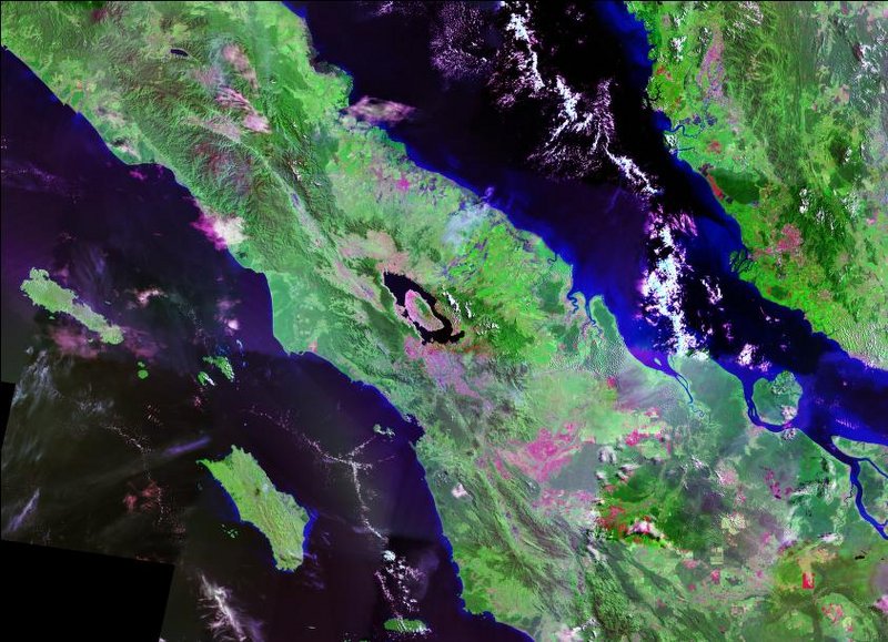
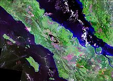 Landsat photo of Sumatra surrounding Lake Toba
Though the year may never be precisely determined, the season can: only the summer monsoon could have deposited Toba ashfall in the South China Sea, implying that the eruption took place sometime during the northern summer.[15] The eruption lasted perhaps two weeks, but the ensuing "volcanic winter" resulted in a decrease in average global temperatures by 3 to 3.5 degrees Celsius for several years. Greenland ice cores record a pulse of starkly reduced levels of organic carbon sequestration. Very few plants or animals in southeast Asia would have survived, and it is possible that the eruption caused a planet-wide die-off.
There is some evidence, based on mitochondrial DNA, that the human species may have passed through a genetic bottleneck around this time, reducing genetic diversity below what would be expected from the age of the species. According to the Toba catastrophe theory proposed by Stanley H. Ambrose of the University of Illinois at Urbana-Champaign in 1998, human populations may have been reduced to only a few tens of thousands of individuals by the Toba eruption.[16]
More recent activity
Smaller eruptions have occurred at Toba since. The small cone of Pusukbukit has formed on the southwestern margin of the caldera and lava domes. The most recent eruption may have been at Tandukbenua on the northwestern caldera edge, since the present lack of vegetation could be due to an eruption within the last few hundred years.[17]
Some parts of the caldera have experienced uplift due to partial refilling of the magma chamber, for example pushing Samosir Island and the Uluan Peninsula above the surface of the lake. The lake sediments on Samosir Island show that it has been uplifted by at least 450 metres (1,476 ft)[9] since the cataclysmic eruption. Such uplifts are common in very large calderas, apparently due to the upward pressure of unerupted magma. Toba is probably the largest resurgent caldera on Earth. Large earthquakes have occurred in the vicinity of the volcano more recently, notably in 1987 along the southern shore of the lake at a depth of 11 km (6.8 mi).[18] Other earthquakes have occurred in the area in 1892, 1916, and 1920–1922.[9]
Lake Toba lies near the Great Sumatran fault which runs along the centre of Sumatra in the Sumatra Fracture Zone.[9] The volcanoes of Sumatra and Java are part of the Sunda Arc, a result of the northeasterly movement of the Indo-Australian Plate which is sliding under the eastward-moving Eurasian Plate. The subduction zone in this area is very active: the seabed near the west coast of Sumatra has had several major earthquakes since 1995, including the 9.1 2004 Indian Ocean Earthquake and the 8.7 2005 Sumatra earthquake, the epicenters of which were around 300 km (190 mi) from Toba.
On 12 September 2007, a magnitude 8.5 earthquake shook the ground in Sumatra and was felt in the Indonesian capital, Jakarta. The epicenter for this earthquake was not as close as the previous two earthquakes, but it was in the same vicinity.
On 26 October 2010, a magnitude 7.7 earthquake occurred 36 kilometers (22 mi) southwest of the nearby island of Pagai-selatan. A 10-foot (three-meter) tsunami immediately followed the quake.
Eruption prospect
The 2004 earthquake physically rolled the Sumatran island and altered the shape of the Earth as was detected by the GRACE satellite. Recent highly localized earthquake activity may initiate magmatic activity of this colossal global climate modifier.
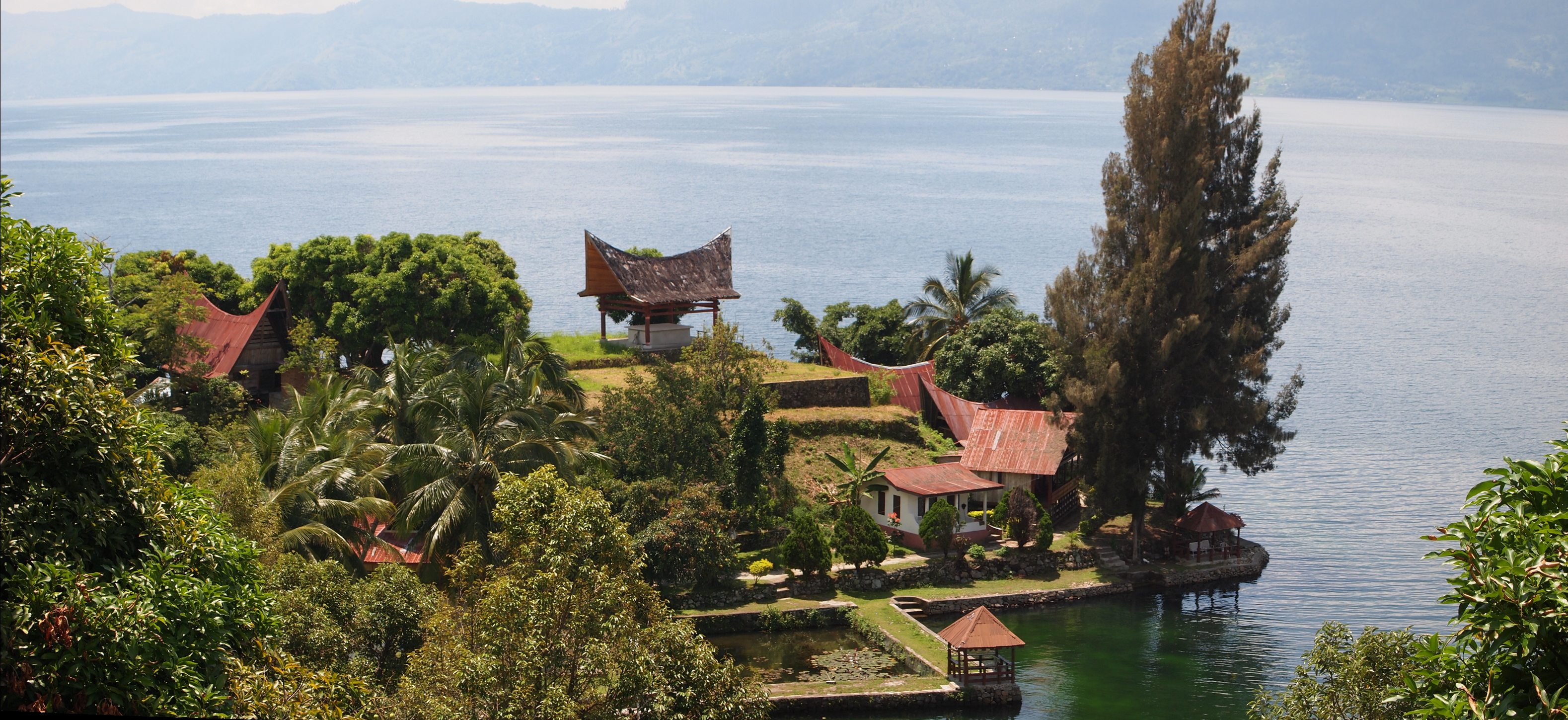
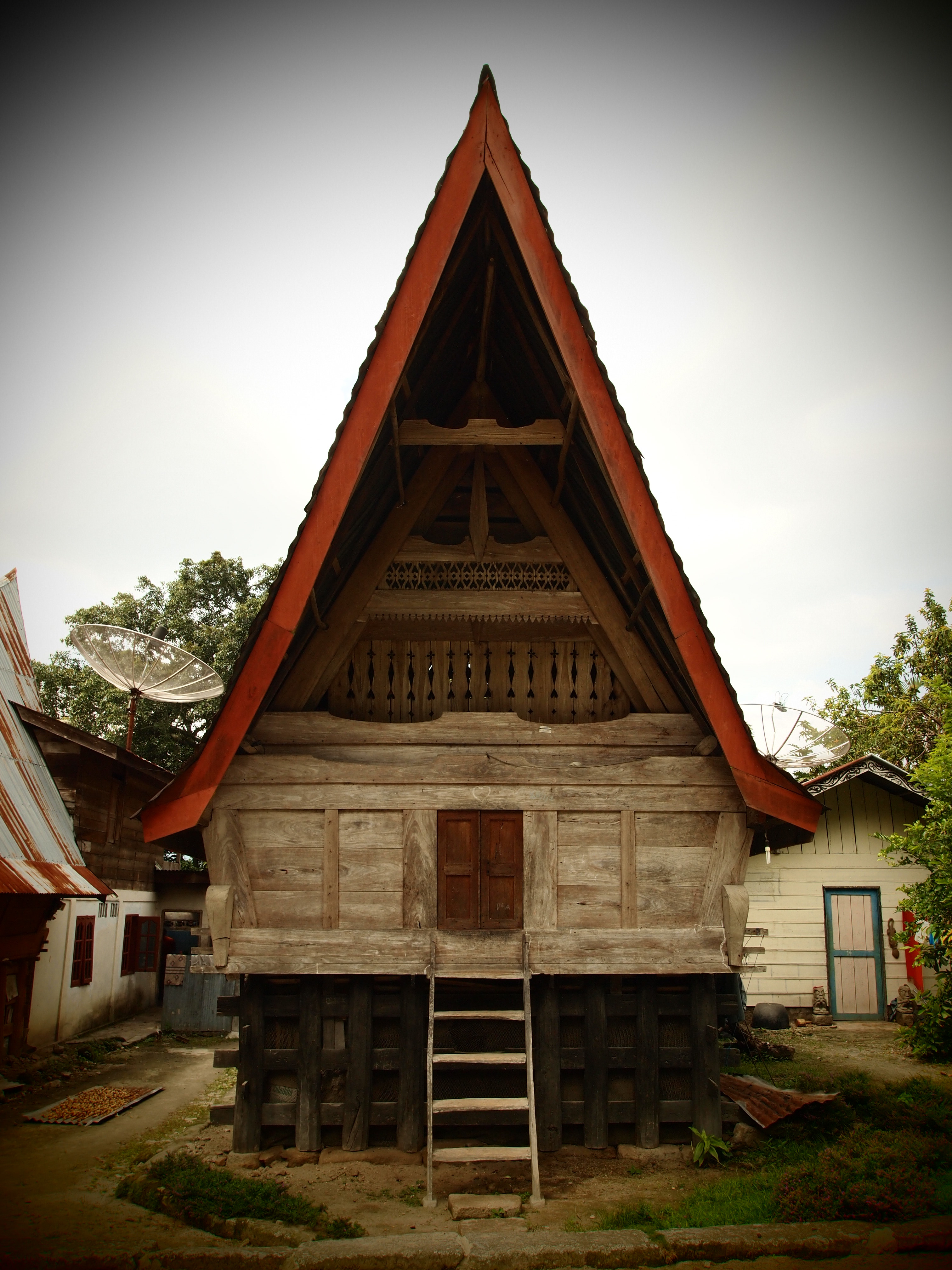
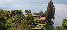 View of the lake with an example of Batak architecture in the foreground.
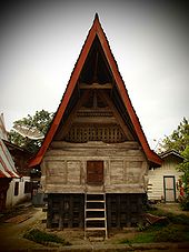 Traditional Batak house at Ambarita, Lake Toba
People
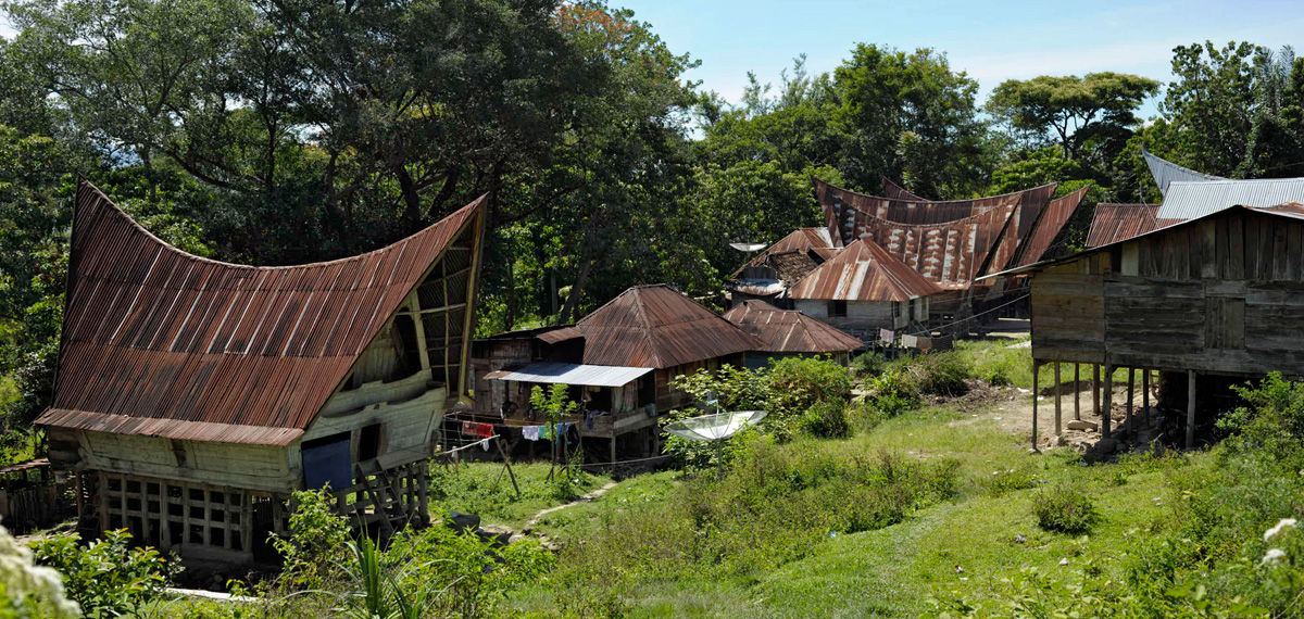
Most of the people who live around Lake Toba are ethnically Bataks. Traditional Batak houses are noted for their distinctive roofs (which curve upwards at each end, as a boat's hull does) and their colorful decor.[19]
Flora and fauna
The flora of the lake includes various types of phytoplankton, emerged macrophytes, floating macrophytes, and submerged macrophytes, while the surrounding countryside is rainforest including areas of Sumatran tropical pine forests on the higher mountainsides.[20]
Fauna include several variations of zooplankton and benthos animals. Lake Toba offers a nurturing environment for fish such as Tilapia mossambica, Aplocheilus panchax, Lebistes reticulatus, Osphronemus goramy, Trichopodus trichopterus, Channa striata, Channa gachua, Clarias batrachus, Clarias nieuhofii, Clarias sp., Nemacheilus fasciatus, Cyprinus carpio, Puntius javanicus, Puntius binotatus, Osteochilus nasselti, Lissochilus sp., Labeobarbus sora, and Rasbora sp..[20]
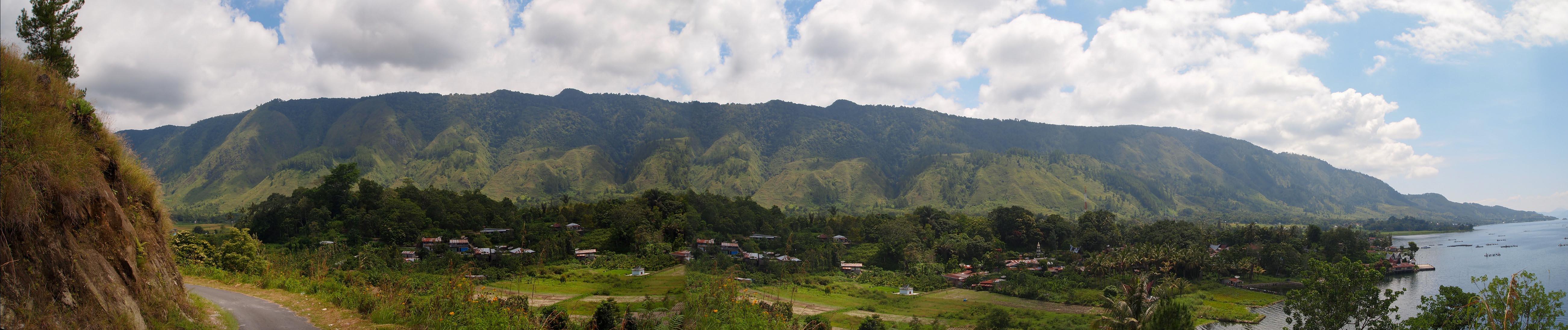
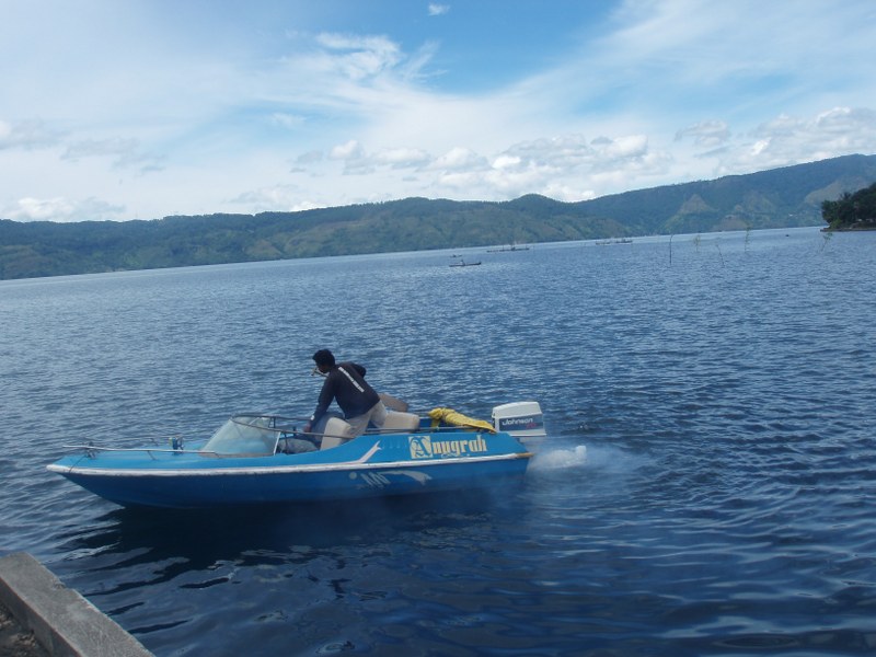
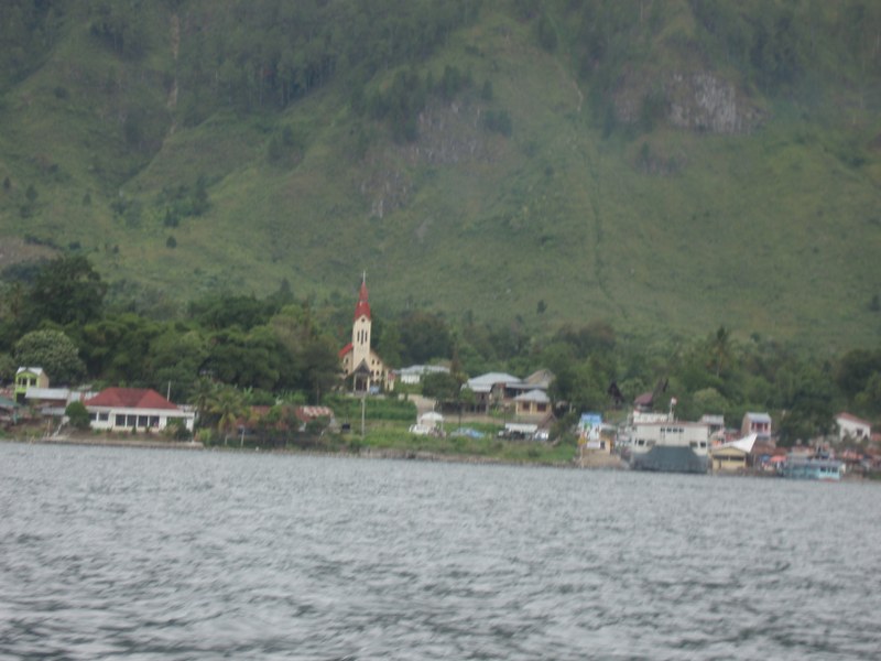
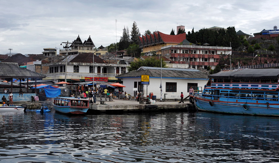
 Panoramic view of Parapat from Samosir Island, Lake Toba.
Gallery
-
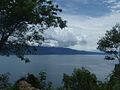
Toba Lake viewed from Parapat
-
Toba Lake viewed from Ambarita
-
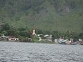
Toba Lake Villages Samosir
-
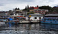
Parapat harbor
-
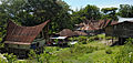
Batak village
-
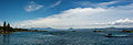
Simanindo lake view
See also
References
Notes
- ^ a b c Worldlakes.org
- ^ Global Volcanism Program page on Toba
- ^ a b Chesner, C.A.; Westgate, J.A.; Rose, W.I.; Drake, R.; Deino, A. (March 1991). "Eruptive history of Earth's largest Quaternary caldera (Toba, Indonesia) clarified". Geology (Michigan Technological University) 19 (3): 200-203. Bibcode 1991Geo....19..200C. http://www.geo.mtu.edu/~raman/papers/ChesnerGeology.pdf. Retrieved 2008-08-23.
- ^ Ninkovich, D.; N.J. Shackleton, A.A. Abdel-Monem, J.D. Obradovich, G. Izett (7 December 1978). "K−Ar age of the late Pleistocene eruption of Toba, north Sumatra". Nature (Nature Publishing Group) 276 (276): 574–577. doi:10.1038/276574a0.
- ^ "When humans faced extinction". BBC. 2003-06-09. http://news.bbc.co.uk/2/hi/science/nature/2975862.stm. Retrieved 2007-01-05.
- ^ Gathorne-Hardy, F. J., and Harcourt-Smith, W. E. H., "The super-eruption of Toba, did it cause a human bottleneck?", Journal of Human Evolution 45 (2003) 227–230.
- ^ "Synonyms and Subfeatures: Toba". Global Volcanism Program. Smithsonian Institution. http://www.volcano.si.edu/world/volcano.cfm?vnum=0601-09=&volpage=synsub. Retrieved December 13, 2008.
- ^ Zielinski, G. A.; P.A. Mayewski, L.D. Meeker, S. Whitlow, M. Twickler and K. Taylor (1996). "Potential Atmospheric impact of the Toba mega-eruption ~71'000 years ago". Geophysical Research Letters (United States: American Geophysical Union) 23 (8): 837–840. Bibcode 1996GeoRL..23..837Z. doi:10.1029/96GL00706.
- ^ a b c d "Toba, Sumatra, Indonesia". Oregon State University. http://volcano.oregonstate.edu/vwdocs/volc_images/southeast_asia/indonesia/toba.html.]
- ^ a b "Supersized eruptions are all the rage!". USGS. April 28, 2005. http://hvo.wr.usgs.gov/volcanowatch/2005/05_04_28.html.
- ^ Acharyya, S.K.; Basu, P.K. (1993). "Toba ash on the South Asia and its implications for correlation of late pleistocene alluvium". Quaternary Research 40 (1): 10–19. doi:10.1006/qres.1993.1051.
- ^ Scrivenor, John Brooke (1931). The Geology of Malaya. London: MacMillan. OCLC 3575130., noted by Weber.
- ^ Huang, C.Y.; Zhao, M.X.; Wang, C.C.; Wei, G.J. (2001). "Cooling of the South China Sea by the Toba Eruption and correlation with other climate proxies ∼71,000 years ago". Geophysical Research Letters 28 (20): 3915–3918. Bibcode 2001GeoRL..28.3915H. doi:10.1029/2000GL006113.
- ^ Robock, A.; C.M. Ammann; L. Oman; D. Shindell; S. Levis; G. Stenchikov (2009). "Did the Toba volcanic eruption of ~74k BP produce widespread glaciation?". Journal of Geophysical Research 114: D10107. Bibcode 2009JGRD..11410107R. doi:10.1029/2008JD011652.
- ^ Bühring, C.; Sarnthein, M.; Leg 184 Shipboard Scientific Party (2000). "Toba ash layers in the South China Sea: evidence of contrasting wind directions during eruption ca. 74 ka.". Geology 28 (3): 275–278. doi:10.1130/0091-7613(2000)028<0275:TALITS>2.3.CO;2.
- ^ "Yellowstone Is a Supervolcano?". Biot Reports. Suburban Emergency Management Project. January 11, 2005. http://www.semp.us/publications/biot_reader.php?BiotID=164. Retrieved 2008-02-21.
- ^ "Toba volcano (Indonesia, Sumatra)". VolcanoDiscovery.com. http://www.volcanodiscovery.com/volcano-tours/volcanoes/indonesia/sumatra/toba/.
- ^ "Significant Earthquakes of the World". United States Geological Survey (USGS). http://earthquake.usgs.gov/eqcenter/eqarchives/significant/sig_1987.php.
- ^ "Batak People". IndonesianMusic.com. http://www.indonesianmusic.com/batak.htm.
- ^ a b "Danau Toba (Lake Toba)". International Lake Environment Committee. http://www.ilec.or.jp/database/asi/asi-10.html.
Sources
- Rampino, Michael R. and Stephen Self (1993). "Climate-volcanism feedback and the Toba eruption of 74,000 Years Ago". Quaternary Research 40 (3): 269–280. doi:10.1038/359050a0.
- Vazquez, Jorge A. and Mary R. Reid (2004). "Probing the accumulation history of the voluminous Toba Magma". Science 305 (5686): 991–994. doi:10.1126/science.1096994. PMID 15310899.
- Petraglia, M. et al. (2007). "Middle Paleolithic Assemblages from the Indian Subcontinent Before and After the Toba Super-Eruption". Science 317 (5834): 114–116. doi:10.1126/science.1141564. PMID 17615356.
External links
- Toba, Sumatra, Indonesia – Volcano.umd.edu Accessed 11 December 2005[dead link]
- Stanley H. Ambrose, Volcanic Winter, and Differentiation of Modern Humans Accessed 11 December 2005
- Joel Achenbach, Who Knew, National Geographic Accessed 11 December 2005
- George Weber, Toba Volcano
- (Lake Toba Ecosystem Management Plan) From laketoba.org
- Lake Toba travel guide from Wikitravel
-


Wikimedia Foundation. 2010.