- Dunton, Norfolk
-
Coordinates: 52°50′15″N 0°47′17″E / 52.83744°N 0.78817°E
Dunton 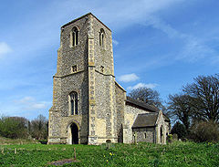
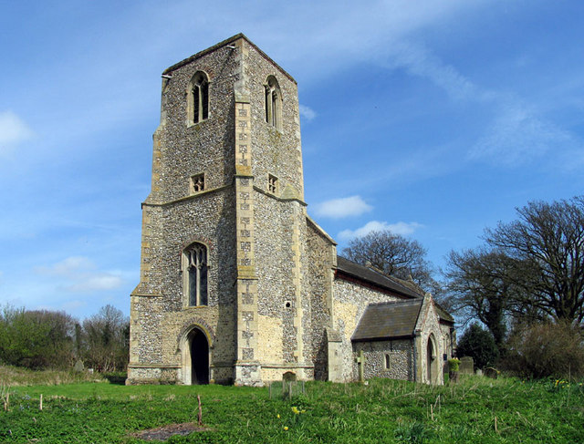
St Peter, Dunton
 Dunton
Dunton shown within NorfolkArea 15.55 km2 (6.00 sq mi) Population 115 (2001 census[1]) - Density 7 /km2 (18 /sq mi) OS grid reference TF879303 District North Norfolk Shire county Norfolk Region East Country England Sovereign state United Kingdom Post town FAKENHAM Postcode district NR21 Police Norfolk Fire Norfolk Ambulance East of England EU Parliament East of England List of places: UK • England • Norfolk Dunton is a small village in the English county of Norfolk. It is located about 5 kilometres (3.1 mi) west of the market town of Fakenham. It is close to the village of Sculthorpe and RAF Sculthorpe airfield.
Notes
- ^ Census population and household counts for unparished urban areas and all parishes. Office for National Statistics & Norfolk County Council (2001). Retrieved 20 June 2009.
External links
 Media related to Dunton, Norfolk at Wikimedia CommonsCategories:
- Villages in Norfolk
- Civil parishes in Norfolk
- Norfolk geography stubs

Wikimedia Foundation. 2010.