- Rocky View No. 44, Alberta
Infobox Settlement
official_name = Rocky View No. 44
other_name =
native_name =
nickname =
settlement_type = Municipal District
motto =
imagesize =
image_caption = View of the Rockies and Foothills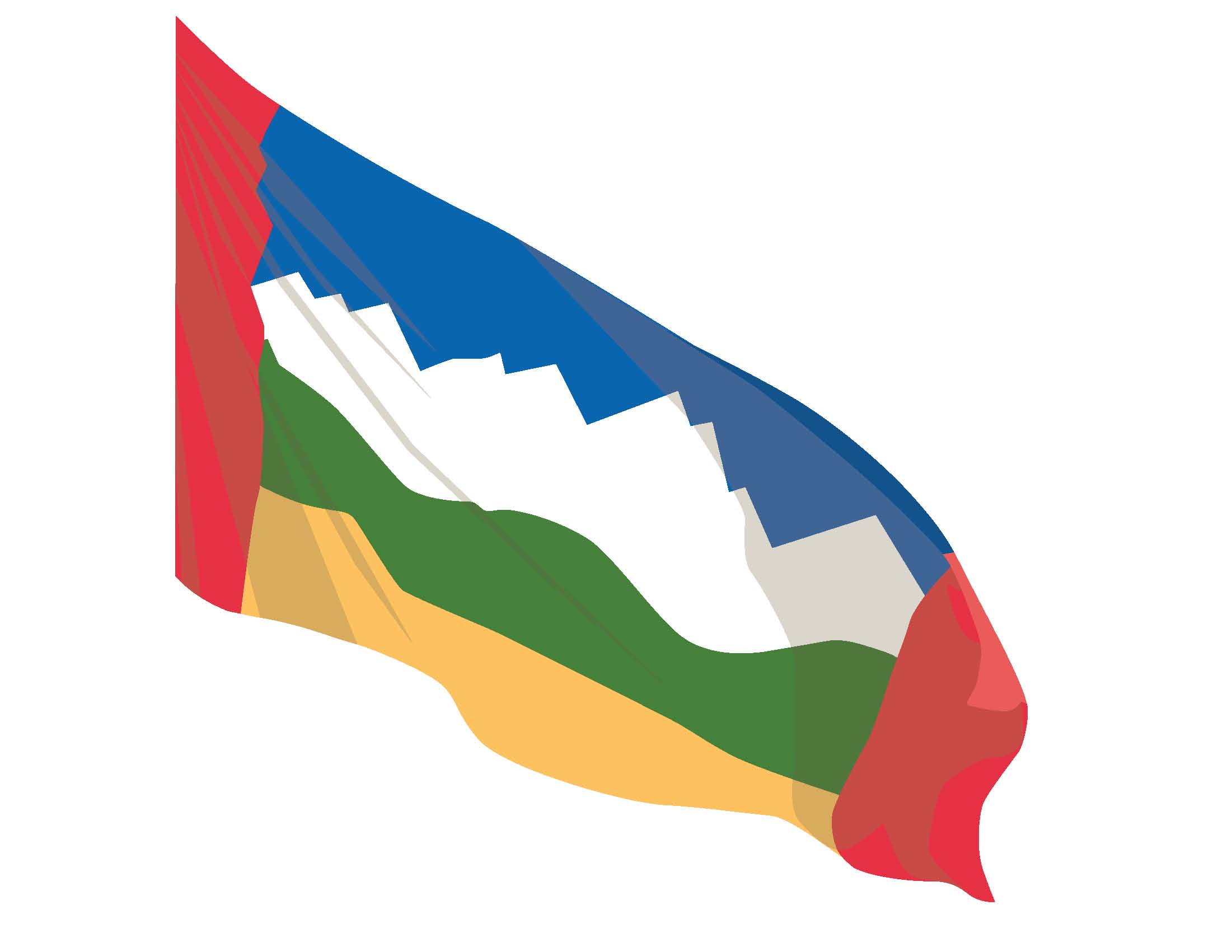
flag_size =
image_
seal_size =
image_shield =
shield_size =
image_blank_emblem = Rockyview.gif
blank_emblem_size =
mapsize =
map_caption =
mapsize1 =
map_caption1 =
image_dot_
dot_mapsize = 250px
dot_map_caption = Location of Rocky View No. 44 inAlberta
dot_x = 131 |dot_y = 243
pushpin_
pushpin_label_position =
pushpin_map_caption =
pushpin_mapsize =
subdivision_type = Country
subdivision_name = CAN
subdivision_type1 = Province
subdivision_name1 = AB
subdivision_type2 = Region
subdivision_name2 =Calgary Region
subdivision_type3 = Census division
subdivision_name3 = No. 6
subdivision_type4 =
subdivision_name4 =
government_footnotes =Cite web| url= http://www.gov.mdrockyview.ab.ca/View.aspx?GUID=2dee6353-c673-4871-a98d-d63d4b6d1762| title= Council| author= Rocky View No. 44|accessdate= 2007-07-09]
government_type = Municipal
leader_title = Governing body
leader_name = Rocky View No. 44 Council
leader_title1 = Municipal office
leader_name1 =Calgary
leader_title2 = Reeve
leader_name2 =Lois Habberfield
leader_title3 = Predeceded by
leader_name3 =Al Schule
leader_title4 =
leader_name4 =
established_title = Established
established_date = December 1955
established_title2 = Incorporated
established_date2 = January 1956
established_title3 =
established_date3 =
area_magnitude =
unit_pref =
area_footnotes =
area_total_km2 = 4015
area_land_km2 =
area_water_km2 =
area_total_sq_mi =
area_land_sq_mi =
area_water_sq_mi =
area_water_percent =
area_urban_km2 =
area_urban_sq_mi =
area_metro_km2 =
area_metro_sq_mi =
area_blank1_title =
area_blank1_km2 =
area_blank1_sq_mi =
population_as_of = 2006
population_footnotes =
population_note =
population_total = 34171
population_density_km2 = 8.5
population_density_sq_mi =
population_metro =
population_density_metro_km2 =
population_density_metro_sq_mi =
population_urban =
population_density_urban_km2 =
population_density_urban_sq_mi =
population_blank1_title = Dwellings
population_blank1 = 11604
population_density_blank1_km2 =
population_density_blank1_sq_mi =
timezone = MST
utc_offset = −7
timezone_DST = MDT
utc_offset_DST = −6
latd= 51|latm= 02|lats= 42|latNS=N
longd= 114|longm= 03|longs= 26|longEW=W
elevation_footnotes =
elevation_m =
elevation_ft =
postal_code_type =
postal_code =
area_code =
blank_name =
blank_info =
blank1_name =
blank1_info =
website = [http://www.rockyview.ca/ Municipal District of Rocky View]
footnotes = The Municipal District of Rocky View, No. 44 is a municipality located outside of the City ofCalgary , in southernAlberta . It surrounds the eastern, northern, and western parts of city. The municipality is part of Calgary'sCensus Metropolitan Area and is a member of the Calgary Regional Partnership. It is also known informally among residents as Rocky View County.Rocky View Municipal District is strategically located on the
Calgary-Edmonton Corridor , and is crossed north south by Highway 2 and east west by Highway 1; another major highway in Rocky View is Highway 9, which is a major transit route between Calgary andSaskatoon, Saskatchewan . Both theCanadian Pacific Railway andCanadian National Railway have their main northsouth routes from Calgary to Edmonton through the MD, as well; the CPR is routed through Airdrie and Crossfield, while the CNR is routed through the town of Irricana and the village of Beiseker.About the Municipal District of Rocky View
The Municipal District of Rocky View is the fifth largest tax base in Alberta:
#
Calgary
#Edmonton
# Strathcona County
# R.M. of Wood Buffalo (includes Fort McMurray)
# Rocky View Municipal DistrictDue to expansion in the local economy and population increase, Rocky View is currently experiencing growth.
Rocky View was named in December 1955. In a local competition to rename the newly amalgamated municipal district (the Municipal District of Calgary), "Rocky View" was submitted by Mr. Leslie Burwash, a local student from Balzac. Second and third place proposals were "Bow View" and "Chinook". The name "Rocky View" is descriptive - most areas within the Municipal District of Rocky View have panoramic views of the
Rocky Mountains , looking to the west.Hamlets and neighbouring communities
Rocky View includes the following unincorporated communities and hamlets [ [http://www.municipalaffairs.gov.ab.ca/cfml/profiles/data/0269_1.htm Municipal Profile] - Alberta Municipal Affairs] : Balzac, Bottrel, Bragg Creek, Cochrane Lake, Conrich, Elbow Valley, Dalemead, Dalroy, Delacour, Indus, Janet, Kathyrn, Keoma, Langdon, Madden, Shepard, the Bearspaw-Glendale area, and the Springbank area.
Totalling approximately one million acres (4,000 km²), towns and villages encompassed by the Municipal District of Rocky View include: the City of Airdrie, the Town of Cochrane, the Town of Irricana, the Town of Crossfield, the Town of Chestermere and the Village of Beiseker.
Demographics
(according to
Statistics Canada 2001 Federal Census) [ [http://www12.statcan.ca/english/Profil01/CP01/Details/Page.cfm?Lang=E&Geo1=CSD&Code1=4806014&Geo2=PR&Code2=48&Data=Count&SearchText=rocky%20view&SearchType=Begins&SearchPR=01&B1=All&Custom= Rocky View Community Profile] - Statistics Canada. 2002. 2001 Community Profiles. Released June 27, 2002. Last modified: 2005-11-30. Statistics Canada Catalogue no. 93F0053XIE]*Population: 30,688
*Growth rate (1996 to 2001): + 31.6%
*Private Dwellings: 10,350
*Dwellings Built (1991 to 2001): 4,075
*Land Area: 4,048.49 km². or 1,563.13 sq. miles
*Density: 7.6 people per km².
*Median Income: $65,785 CADIn 2006, Rocky View No. 44 had a population of 34,171 living in 11,604 dwellings, a 14.2% increase from 2001. The municipal district has a land area of km2 to mi2|4014.89|abbr=yes|wiki=yes and a
population density of Pop density km2 to mi2|8.5| spell=UK | abbr=yes.Cite web| url= http://www12.statcan.ca/english/census06/data/profiles/community/Details/Page.cfm?Lang=E&Geo1=CSD&Code1=4806014&Geo2=PR&Code2=48&Data=Count&SearchText=Rocky%20View%20No.%2044&SearchType=Begins&SearchPR=01&B1=All&GeoLevel=&GeoCode=4806014 | title= Rocky View No. 44 - Community Profile | author= Statistics Canada| authorlink= Statistics Canada| year= Census 2006 | accessdate= 2007-06-11]Politics
Local
Rocky View currently has a Municipal Council consisting of 9 elected Councillors. Councillors are elected by the eligible electors (Rocky View residents) who vote for a candidate in their electoral division. Municipal elections organised by
Alberta Municipal Affairs are held on the 3rd Monday in October every third year.Each October, the Councillors elect the Reeve. The position of Deputy Reeve is also an elected position, voted on by the Councillors every year in October.
The current Rocky View Council (Elected in October 2007) consists of:
*ReeveLois Habberfield - Division 7
*Deputy ReeveGreg Boehlke - Division 6
*CouncillorHarvey Buckley - Division 1
*CouncillorMitch Yurchak - Division 2
*CouncillorGordon Branson - Division 3
*CouncillorJim Rheubottom - Division 4
*CouncillorEarl Solberg - Division 5
*CouncillorHopeton Louden - Division 8
*Councillor Paul McLean - Division 9Provincial
The Municipal District of Rocky View is served by the Provincial Electoral Divisions of
Airdrie-Rocky View andFoothills-Rocky View .Rocky View is currently represented in the Alberta Legislature by Progressive Conservative MLA Rob Anderson in
Airdrie-Rocky View andTed Morton inFoothills-Rocky View .Federal
The Municipal District of Rocky View is served by three Federal Electoral Divisions:
Crowfoot ,Macleod and Wild Rose.Rocky View's northeast and southeast (east of Calgary, north of the Bow River) is part of the Federal Electoral district (also known as a riding) of Crowfoot. This riding has been represented by
Kevin Sorenson , who was originally elected as a member of the Reform Party then again as a member of theCanadian Alliance and currently of the Conservative Party.Rocky View's southwest (south of the Bow River and west of Calgary) is part of the Federal Electoral district (also known as a riding) of Macleod. This riding has been represented by
Ted Menzies , who was originally elected as a member of theCanadian Alliance and currently of the Conservative Party.Rocky View's northwest is part of the Federal Electoral district (also known as a riding) of Wild Rose. This riding has been represented by
Myron Thompson , who was originally elected as a member of the Reform Party in 1993 then again as a member of theCanadian Alliance and currently of the Conservative Party.Rocky View and the Calgary Region are also represented by two Federal Senators:
Senator
Bert Brown was appointed to the Senate of Canada (theUpper House ) by Prime MinisterStephen Harper on July 10th, 2007.Senator
Elaine McCoy was appointed to the Senate of Canada (theUpper House ) by Prime MinisterPaul Martin on March 24th, 2005.Attractions
*
Airdrie Airport
*Balzac - north of Calgary
*Beiseker Airport
*Big Hill Springs Provincial Park
*Bragg Creek - Community Centre and historic downtown
*Bragg Creek Provincial Park
*Calaway Park
*Crossiron Mills (Under construction)
*Langdon - 1908 Main Street
*Pioneer Acres Museum
*Springbank Airport References
External links
* [http://www.rockyview.ca/ Municipal District of Rocky View] (official website)
* [http://www.albertafirst.com/profiles/statspack/20700.html Rocky View Profile] (on AlbertaFirst)Canadian City Geographic Location (8-way)
Northwest = Mountain View County
North = Mountain View County
Northeast = Kneehill County
West = Municipal District of Bighorn
Centre = Rocky View No. 44
East =

Wikimedia Foundation. 2010.