- Chatham, Chicago
-
Chatham — Community area — Community Area 44 - Chatham Location within the city of Chicago
Coordinates: 41°44′24″N 87°36′42″W / 41.74°N 87.61167°WCoordinates: 41°44′24″N 87°36′42″W / 41.74°N 87.61167°W Country United States State Illinois County Cook City Chicago Neighborhoods list- Chatham
- West Chesterfield
Area - Total 3 sq mi (7.69 km2) Population (2000) - Total 37,275 - Density 12,554.2/sq mi (4,847.2/km2) population up 1.35% from 1990 Demographics - White 0.32% - Black 98.0% - Hispanic 0.59% - Asian 0.06% - Other 1.00% Time zone CST (UTC-6) - Summer (DST) CDT (UTC-5) ZIP Codes 60619, parts of 60620 Area code(s) 773, 872 Median income $37,809 Source: U.S. Census, Record Information Services Chatham, located on the south side, is one of the 77 official community areas of South Side of the city of Chicago, Illinois. It includes the neighborhoods of Chatham and West Chesterfield. Its residents are overwhelmingly middle and upper income African American and it is home to former Senator Roland Burris.
Contents
Demographics
In the 1990 census Chatham was found to be 1.0% White, 98.7% Black, 0.5% Hispanic, 0.1% Asian and 0.3% other.[1]
In the 2000 census Chatham was found to be 0.32% White, 98.0% Black, 0.59% Hispanic, 0.06% Asian and 1.00% other. The median income was $37,809.[2]
Transportation
Chatham has a stop on Metra's Metra Electric commuter rail line, which provides daily service between downtown Chicago at Millennium Station and the southern destinations of University Park and Blue Island. As well as many CTA Bus Stops and trains.
Schools in Chatham
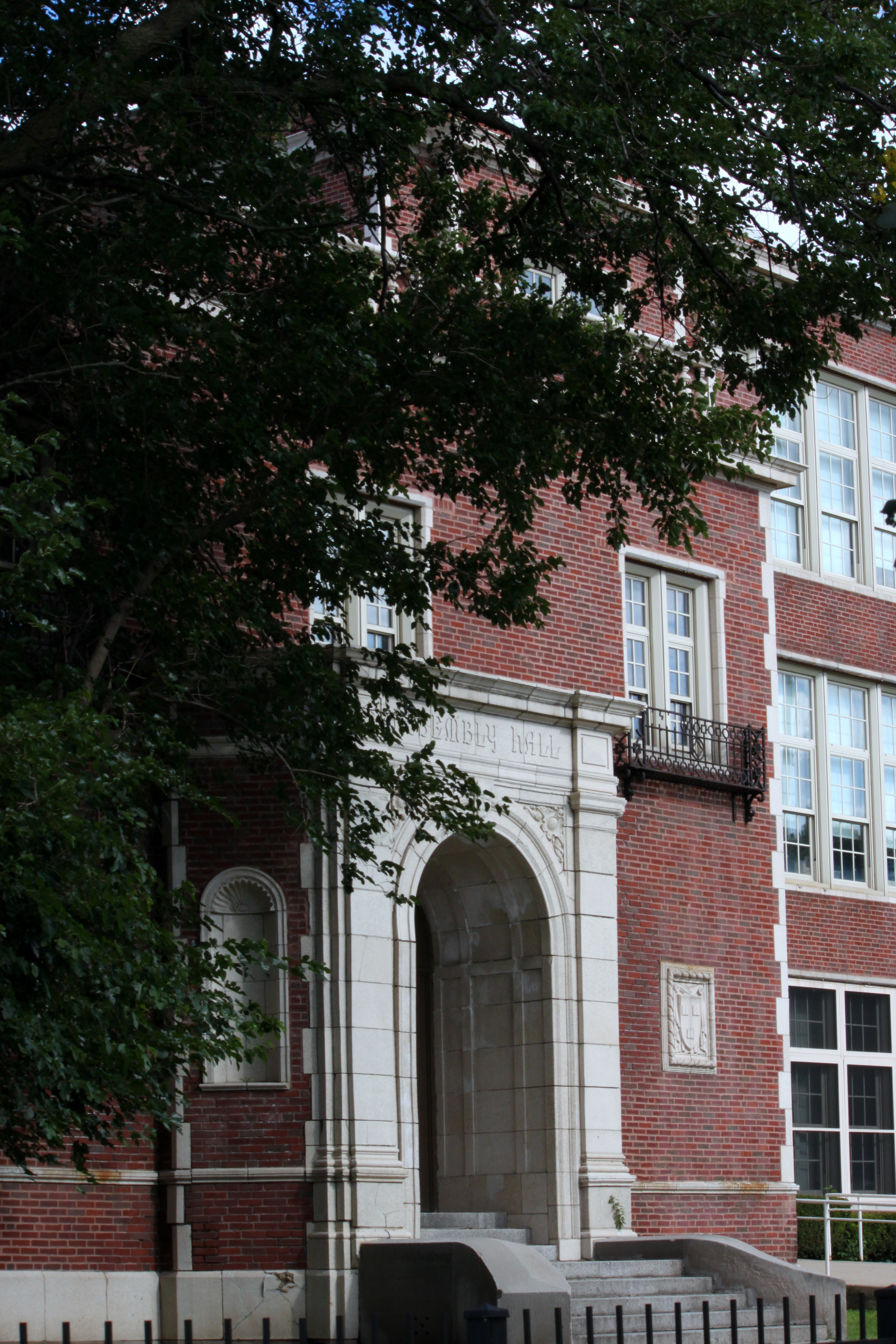
 Lenart Regional Gifted Center. School Entrance
The following schools serve students from the Chatham neighborhood. [3]
-Secondary Schools-
- Simeon Career Academy
- Jimmie Thompson High School
-Primary Schools-
- Arthur R Ashe Elementary School
- Arthur Dixon Elementary School
- James E McDade Elementary Classical School
- Jane A Neil Elementary School
- John T Pirie Fine Arts & Academic Center ES
- Oliver S Westcott Elementary School
- Ted Lenart Regional Gifted Center
References
- ^ Encyclopedia of Chicago, "Chatham", Available online at http://www.encyclopedia.chicagohistory.org/pages/232.html, Cited September 29, 2009
- ^ U.S. Census, Record Information Services.
- ^ http://www.cps.edu/Schools/Find_a_school/Pages/Findaschool.aspx | Chicago Public Schools' Search
External links
- http://www.encyclopedia.chicagohistory.org/pages/232.html
- Official City of Chicago Chatham Community Map
City of Chicago Chicago metropolitan area · State of Illinois · United States of America Architecture · Beaches · Climate · Colleges and Universities · Community areas · Culture · Demographics · Economy · Flag · Freeways · Geography · Government · History · Landmarks · Literature · Media · Music · Neighborhoods · Parks · Public schools · Skyscrapers · Sports · Theatre · Transportation
 Category ·
  Portal
Community areas in Chicago Far North side Rogers Park · West Ridge · Uptown · Lincoln Square · Edison Park · Norwood Park · Jefferson Park · Forest Glen · North Park · Albany Park · O'Hare · EdgewaterNorth side Northwest side Central, Near North, and Near South side West and Near West side Southwest side South side Far Southwest side Far Southeast side Chatham · Avalon Park · South Chicago · Burnside · Calumet Heights · Roseland · Pullman · South Deering · East Side · West Pullman · Riverdale · Hegewisch
Greater Grand Crossing, Chicago 
Avalon Park, Chicago Auburn Gresham, Chicago  Chatham, Chicago

Calumet Heights, Chicago Roseland, Chicago Burnside, Chicago Categories:- Community areas of Chicago, Illinois
- Populated places in Illinois with African American majority populations


Wikimedia Foundation. 2010.