- Duncton
-
Coordinates: 50°56′48″N 0°38′05″W / 50.9467°N 0.63461°W
Duncton 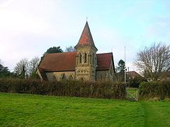
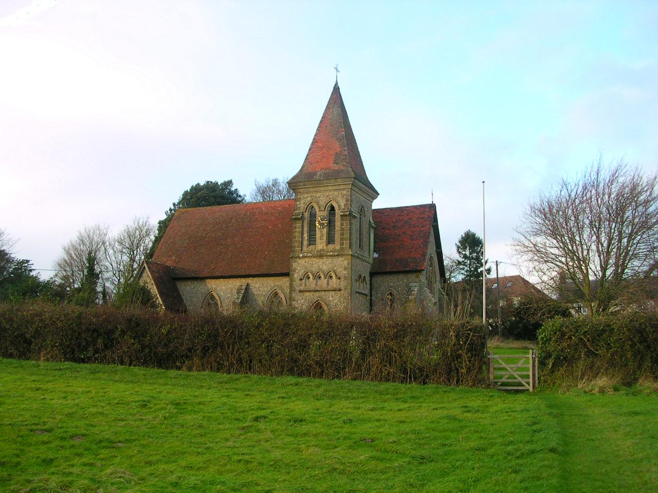
Holy Trinity Anglican church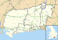
 Duncton
Duncton shown within West SussexArea 8.00 km2 (3.09 sq mi) [1] Population 356 [1] 2001 Census - Density 44 /km2 (110 /sq mi) OS grid reference SU960172 - London 44 miles (71 km) NNE Parish Duncton District Chichester Shire county West Sussex Region South East Country England Sovereign state United Kingdom Post town PETWORTH Postcode district GU28 Dialling code 01798 Police Sussex Fire West Sussex Ambulance South East Coast EU Parliament South East England UK Parliament Arundel and South Downs Website http://www.dunctonpc.org.uk/ List of places: UK • England • West Sussex Duncton is a village and civil parish in the District of Chichester in West Sussex, England located one mile (1.6 km) south of Petworth on the A285 road.
The parish has a land area of 800.4 hectares (1977 acres). In the 2001 census 356 people lived in 156 households, of whom 191 were economically active.
The village has an Anglican church, a Roman catholic church and a pub named The Cricketers in honour of two past residents, Jemmy Dean and Jem Broadbridge, who played cricket for Sussex in the nineteenth century. There is a modern village hall and two croquet pitches.
Duncton Mill at the foot of the South Downs escarpment was powered by a large spring flowing from the chalk strata. A stable flow of water at a constant temperature throughout the year is ideal for its present use as a trout hatchery.
To the east of the village on the border with Barlavington civil parish is Burton Park, a stately home now converted into a number of residences.
History
Remains of a Roman villa, including a hypocaust were discovered in the early 19th century some 140 yards north east of the old church, but were not preserved.[2]
Woollen cloth making was an important local industry in the medieval period. Two Duncton clothiers, R Harding and J Goble, left inventories in 1621 and 1622 respectively, with Goble having owned three pairs of finishing shears.[3]
References
- ^ a b "2001 Census: West Sussex – Population by Parish". West Sussex County Council. http://www.westsussex.gov.uk/communityandliving/census2001/pop_parish_summary.pdf. Retrieved 12 April 2009.
- ^ Jerrome, Peter (2002). Petworth. From the beginnings to 1660.. Petworth: Window Press. p. 14.
- ^ Jerrome, Peter (2002). Petworth. From the beginnings to 1660.. Petworth: Window Press. p. 92.
Categories:- Villages in West Sussex
- West Sussex geography stubs

Wikimedia Foundation. 2010.