- Didling
-
Coordinates: 50°57′34″N 0°48′36″W / 50.95945°N 0.80993°W
Didling 
Church of St. Andrew
 Didling
Didling shown within West SussexOS grid reference SU836184 Parish Elsted and Treyford District Chichester Shire county West Sussex Region South East Country England Sovereign state United Kingdom Police Sussex Fire West Sussex Ambulance South East Coast EU Parliament South East England UK Parliament Chichester List of places: UK • England • West Sussex Didling is a tiny village in the Chichester district of West Sussex, England. It lies on the Treyford to Bepton road 3.5 miles (5.7 km) southwest of Midhurst.
Parish Church
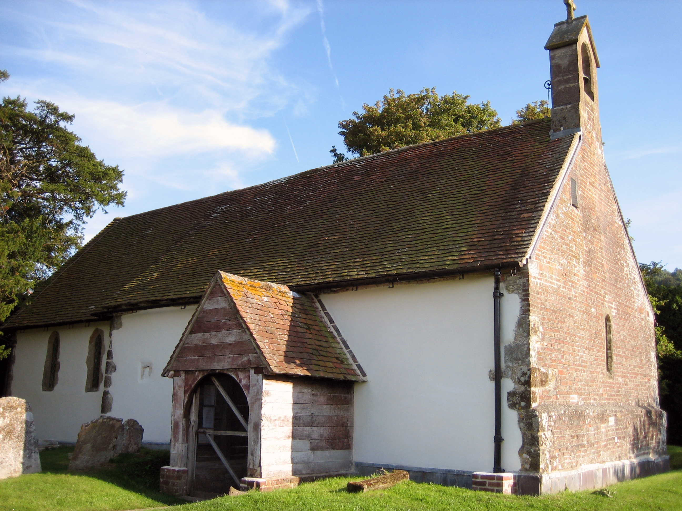
The c.13th century church of St. Andrew, known as "The Shepherds' Church" sits a little to the south of the village on the northern slope of Didling Hill. The nave and chancel are of plastered rubble with ashlar dressings. The wooden porch is modern. The church has a single bell dated 1587.[1] The church is known for its simplicity and the fact that it has survived the intervening centuries with very little restoration, with that which has taken place having been sympathetic. Without an electricity supply the church is lit by candles.
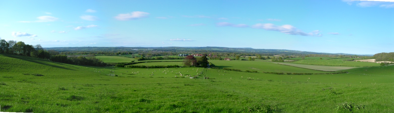
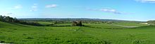 The church and village seen from Didling Hill
References
External links
- Gravelroots Guide to Didling with large photo album of St. Andrews
part of the Rother Valley Guide - Church of St. Andrew
Categories:- Villages in West Sussex
- West Sussex geography stubs
- Gravelroots Guide to Didling with large photo album of St. Andrews

Wikimedia Foundation. 2010.