- Milland
-
For the actor, see Ray Milland.
Coordinates: 51°02′10″N 0°48′22″W / 51.03601°N 0.80607°W
Milland 
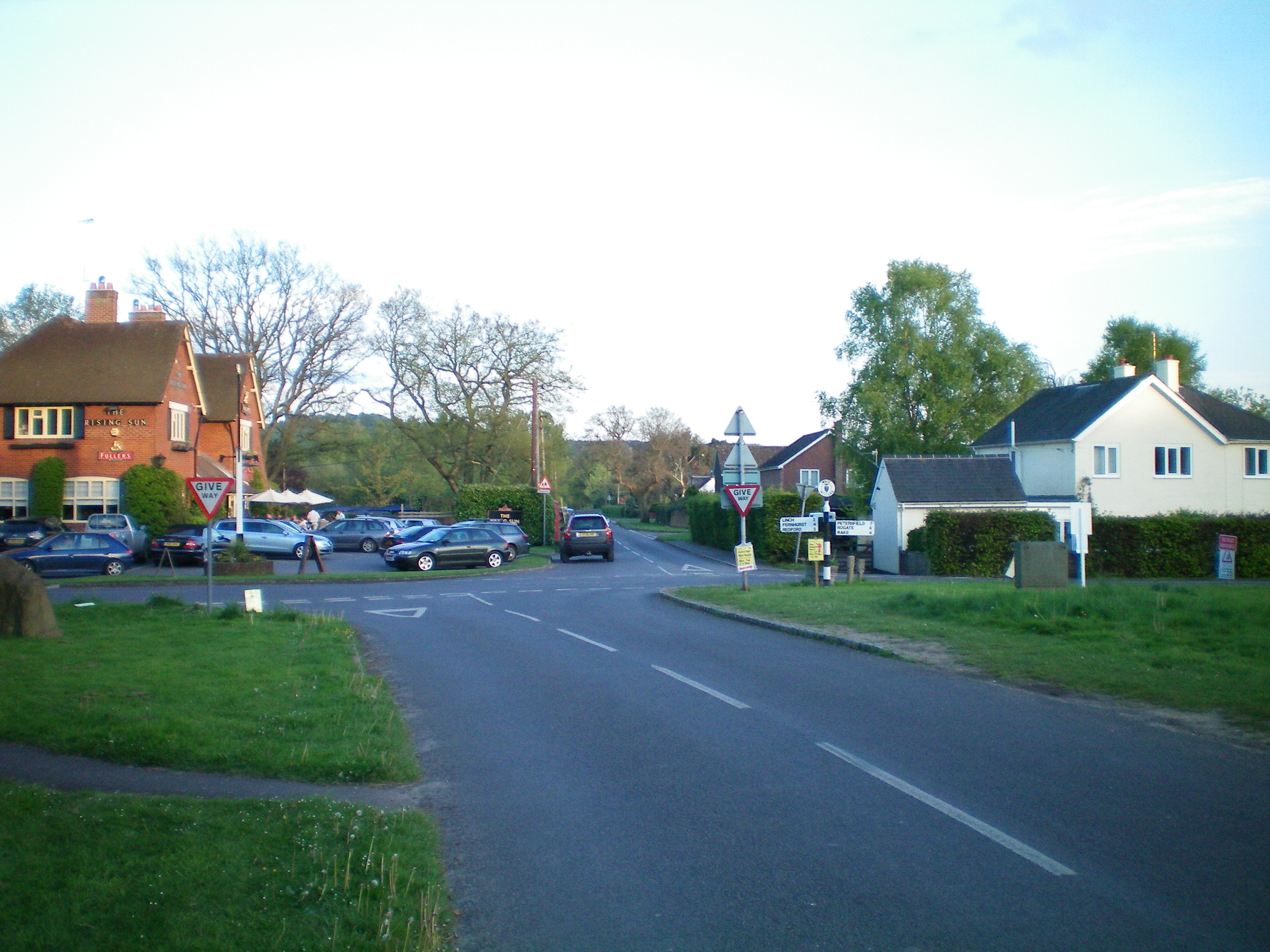
Milland Crossroads
 Milland
Milland shown within West SussexArea 20.34 km2 (7.85 sq mi) [1] Population 829 [1] 2001 Census - Density 41 /km2 (110 /sq mi) OS grid reference SU838269 - London 44 miles (71 km) NE Parish Milland District Chichester Shire county West Sussex Region South East Country England Sovereign state United Kingdom Post town LIPHOOK Postcode district GU30 Dialling code 01428 Police Sussex Fire West Sussex Ambulance South East Coast EU Parliament South East England UK Parliament Chichester Website http://www.milland-pc.gov.uk/ List of places: UK • England • West Sussex Milland is a village and civil parish in the Chichester district of West Sussex, England. It is situated north of the A272 road on the border with Hampshire.
In the 2001 census the parish covered 5,023 acres (20.33 km2) and had 332 households with a total population of 829 of whom 394 residents were economically active.
The village lies along a section of the Chichester to Silchester Way Roman road, almost the only part to have survived in modern use. At the southern end of the village the boundary banks of a mansio, a Roman posting station on the road, are visible.[2][3]
The parish has an Anglican church, St. Luke's, the independent Milland Evangelical Church (MEC) and the disused Tuxlith Chapel which is in the care of a national charity the Friends of Friendless Churches.
References
- ^ a b "2001 Census: West Sussex – Population by Parish". West Sussex County Council. http://www.westsussex.gov.uk/communityandliving/census2001/pop_parish_summary.pdf. Retrieved 5 May 2009.
- ^ Margary, Ivan D. (1968). Roman ways in the Weald. Phoenix house. ISBN 0460077422. http://books.google.co.uk/books?id=UzW7AAAACAAJ&printsec=frontcover&dq=editions:OCLC154129547.
- ^ Petersfield Museum-section on roads
External links
Categories:- Villages in West Sussex
- Chichester (district)
- West Sussex geography stubs

Wikimedia Foundation. 2010.