- Westbourne, West Sussex
-
Coordinates: 50°51′41″N 0°55′35″W / 50.86143°N 0.92638°W
Westbourne 
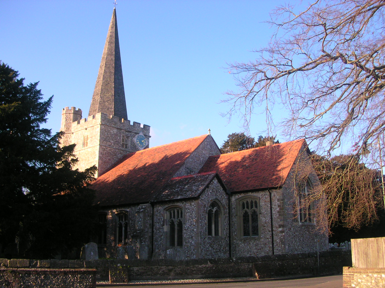
St John the Baptist Church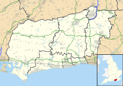
 Westbourne
Westbourne shown within West SussexArea 7.47 km2 (2.88 sq mi) [1] Population 2,140 [1] 2001 Census - Density 286 /km2 (740 /sq mi) OS grid reference SU756074 - London 56 miles (90 km) NE Parish Westbourne District Chichester Shire county West Sussex Region South East Country England Sovereign state United Kingdom Post town EMSWORTH Postcode district PO10 Dialling code 01243 Police Sussex Fire West Sussex Ambulance South East Coast EU Parliament South East England UK Parliament Chichester Website http://www.westbournevillage.org/ List of places: UK • England • West Sussex Westbourne is a village and civil parish in the Chichester District of West Sussex, England. It is located half a mile (0.8 km) north east of Emsworth. The parish includes the hamlets of Woodmancote and Aldsworth, and once included the settlements of Southbourne and Prinsted to the south. The village stands on the River Ems, a small river flowing into Chichester Harbour at Emsworth. It is believed that the village takes its name from its position on the river, which traditionally marks the westernmost boundary of Sussex,[2] bourne being an archaic term for a boundary[3] as well as for a small river or brook.
The parish covers an area of 1,846 acres (747 ha). There are 1,728 on the electoral role and the population of the village is 2,140, 1,064 of whom are economically active, and who live in 894 households.[1]
Westbourne contains 66 listed buildings some dating back to the 16th Century,[2] though written evidence of habitation can be found in the Domesday Book of 1086.[4] The medieval church of St John the Baptist is notable for its fine yew avenue, which is apparently the oldest in England, and walled graveyard. Nicholas Levett, a native of Petworth and fellow of Balliol College, Oxford, was longtime minister of St John the Baptist. He was buried in Beckley, Oxfordshire, in 1687.[5]
Commonside forms the northern edge of the village of Westbourne. The area is centred on the village pub called the Cricketers which is located near the village cricket pitch. There are a further three public houses, the White Horse and the Stag's Head in the square, and the Good Intent, in North Street.
Westbourne is part of the Chichester constituency, a safe Conservative seat since 1924. The current member of parliament is Andrew Tyrie MP. The County Councillor is Mark Dunn, and the District Councillor, Maureen Elliot.
Contents
Notable residents
- George Sparkes (1845-1908), cricketer[6]
References
- ^ a b c "2001 Census: West Sussex – Population by Parish". West Sussex County Council. http://www.westsussex.gov.uk/communityandliving/census2001/pop_parish_summary.pdf. Retrieved 25 May 2009.
- ^ a b About Westbourne - Westbourne Village Website
- ^ Wiktionary entry on 'bourne'
- ^ National Archives Record from the Domesday Book
- ^ Alumni Oxoniensis: The Members of the University of Oxford, 1500-1714 : Their Parentage, Birthplace, and Year of Birth, with a Record of Their Degrees: Being the Matriculation Register of the University, University of Oxford, Joseph Foster, University of Oxford, Published by Parker, 1891
- ^ "Player profile: George Sparkes". CricketArchive. http://www.cricketarchive.com/Archive/Players/32/32943/32943.html. Retrieved 14 November 2011.
Further reading
Roch, Lucinda and Toms, Matthew (2005) The Westbourne Story, Emsworth: Kenneth Mason Publications, p. 192, ISBN 0859374041
See also
 Media related to Westbourne, West Sussex at Wikimedia Commons
Categories:- Villages in West Sussex
- Chichester (district)

Wikimedia Foundation. 2010.