- Funtington
-
Coordinates: 50°52′09″N 0°51′48″W / 50.86908°N 0.8634°W
Funtington 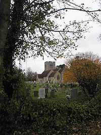
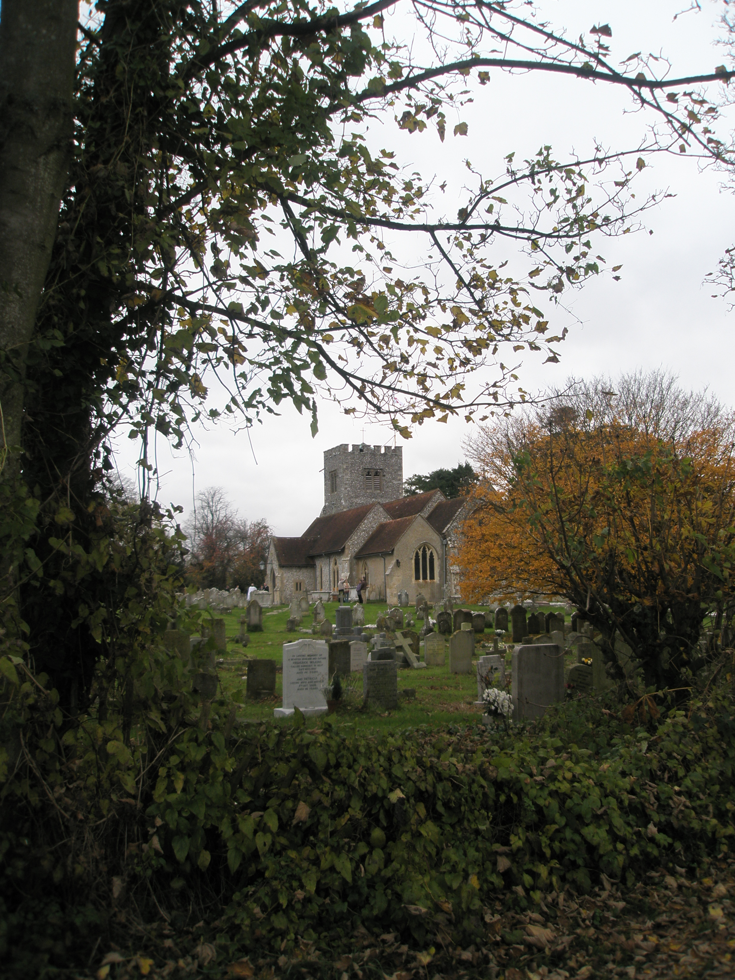
Funtington Church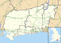
 Funtington
Funtington shown within West SussexArea 20.02 km2 (7.73 sq mi) [1] Population 1,438 [1] 2001 Census - Density 72 /km2 (190 /sq mi) OS grid reference SU800083 - London 54 miles (87 km) NE Parish Funtington District Chichester Shire county West Sussex Region South East Country England Sovereign state United Kingdom Post town CHICHESTER Postcode district PO18 Dialling code 01243 Police Sussex Fire West Sussex Ambulance South East Coast EU Parliament South East England UK Parliament Chichester Website Parish Council List of places: UK • England • West Sussex Funtington is a village and civil parish in the Chichester district of West Sussex, England. It lies on the B2146 Road 4.5 miles (7.2 km) west of Chichester. The parish also contains the villages of East and West Ashling, West Stoke and the Kingley Vale National Nature Reserve lies at its northern tip. There is a village store with a post office, a farm produce shop and a pub at the centre of the village. Funtington Primary School is in the village of West Ashling.
Contents
Religious sites
St. Mary’s Anglican church, dating from the 12th Century, is the principal church in the parish of Funtington and is becoming busier, particularly among the young. There is a fast growing choir and a local school holds special choir services. The building has been extended to provide a church room, funded by local benefactors and parish money-raising events. St. Andrew's church at West Stoke is of Saxon origin. The chapel of St. Mary’s at Sennicotts lies about two miles (3 km) to the east, off the Chichester road. The clocktrust make use of the other chapel, on chapel corner. This was a congregational chapel and made from the blocks from the Chichester Cathedral spire, which feel down in 1850.[2]
Landmarks
Kingley Vale lies on the border of the parish which is a Site of Special Scientific Interest and a National Nature Reserve. It is noted for its Yew woodlands.[3] The site is also known for its archaeological interest including Bronze Age and Roman earthworks, cross dykes, a camp and a field system. Admiral Provo Wallis, one of the longest serving admirals in the British Royal Navy, is buried in the Funtington church yard.[4]
References
- ^ a b "2001 Census: West Sussex – Population by Parish". West Sussex County Council. http://www.westsussex.gov.uk/communityandliving/census2001/pop_parish_summary.pdf. Retrieved 4 May 2009.
- ^ Funtington Churches
- ^ (PDF) SSSI Citation — Kingley Vale. Natural England. http://www.english-nature.org.uk/citation/citation_photo/1002819.pdf. Retrieved 4 April 2009.
- ^ Old Salt Indeed: The Amazing Career of Lieutenant Provo Wallis of HMS Shannon
External links
 Media related to Funtington at Wikimedia CommonsCategories:
- Villages in West Sussex

Wikimedia Foundation. 2010.