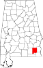
- Daleville, Alabama
-
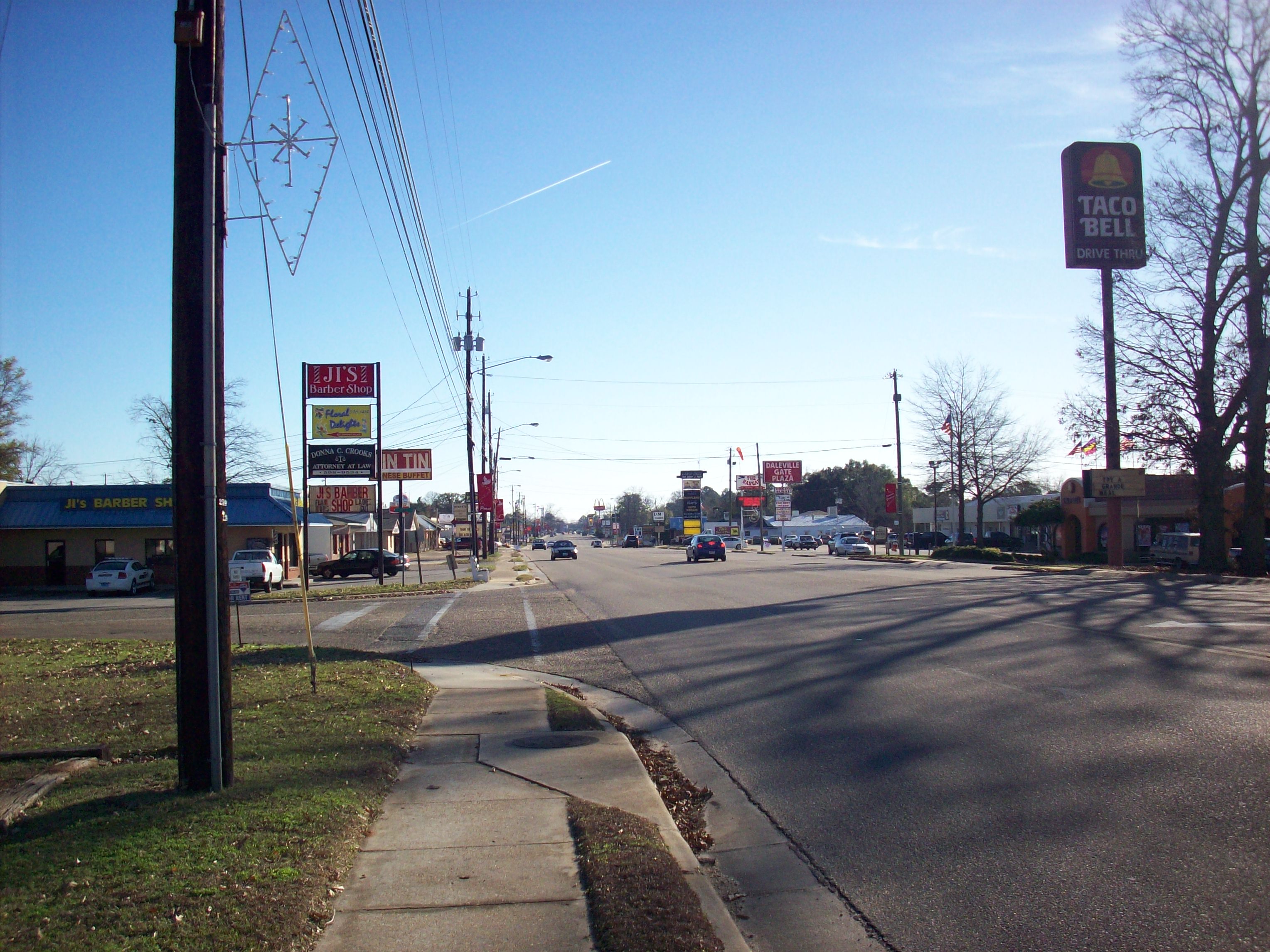
Daleville — City — Daleville Avenue in Daleville, Alabama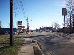
Nickname(s): Gateway to Fort Rucker Location in Alabama.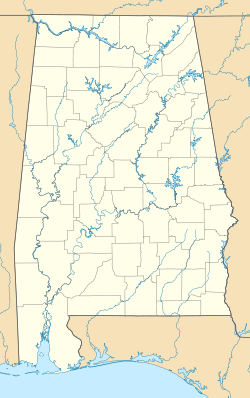
 Daleville
Coordinates: 31°18′8″N 85°42′39″W / 31.30222°N 85.71083°W Country United States State Alabama County Dale Area – Total 13.5 sq mi (35 km2) – Land 13.5 sq mi (35 km2) – Water 0 sq mi (0 km2) Elevation 331 ft (101 m) Population (2000) – Total 4,653 – Density 344.7/sq mi (132.9/km2) Time zone Central (CST) (UTC-6) – Summer (DST) CDT (UTC-5) ZIP code 36322 Area code(s) 334 FIPS code 01-19360 GNIS feature ID 0117016 Daleville is a city in Dale County, Alabama, United States. At the 2000 census the population was 4,653. It is part of the Enterprise–Ozark Micropolitan Statistical Area. The city's nickname is "Gateway to Fort Rucker", as this U.S. Army post is located just north of town. Cairns Army Airfield is located to the south of Daleville on the road to nearly Clayhatchee.
Contents
History
Daleville, originally known as "Dale's Court House", was founded circa 1830 by veterans of the Creek Indian War who had settled in Dale County following that conflict. It was the original county seat of Dale County but lost that honor when Coffee County split from Dale in 1841, at which time the seat was removed first to Newton, and then later to Ozark where it remains today.
Long a tiny farming community, Daleville saw significant expansion during the mid-to-late twentieth century with the establishment and enlargement of Fort Rucker, the U.S. Army's primary aviation training post. Douglas Brown, a former mayor of Ozark, teamed up with two Georgia businessmen, L.C. Hall and Bob Culpepper, to develop the city. Securing a 1.5 million dollar loan, the trio purchased 400 acres (1.6 km2) of land in Daleville, constructed a lagoon sewer system and began to build the town house by house, shopping center by shopping center.[1] Numerous military personnel then made their homes in the community, and many elected to stay after their retirement or otherwise completing their service obligation. This large military presence gives the town a more cosmopolitan populace than other nearby towns farther away from the base.
Daleville was the victim of an F1 Tornado on 24 November 2001, part of the Arkansas-Mississippi-Alabama tornado outbreak that occurred on 23 and 24 November of that year. Two restaurants and two industrial buildings were destroyed; a local lounge suffered severe damage, as well. Also damaged were maintenance buildings, one aircraft, 25 businesses, a church, gas station, two supermarkets, a bank and several homes. Twenty-five people inside the lounge were injured, but no fatalities were reported.
Geography
Daleville is located at 31°18′9″N 85°42′40″W / 31.3025°N 85.71111°W (31.302496, -85.711083)[2].
According to the U.S. Census Bureau, the city has a total area of 13.5 square miles (35 km2), all of it land. The Choctawhatchee River flows a few miles east of Daleville.
Daleville is the northern terminus of Alabama State Route 85, which runs south from the city to Geneva. This route intersects with U.S. Highway 84 on the south side of town. Alabama State Route 134 runs east from Daleville toward Newton; westbound 134 joins U.S. 84 to continue on to Enterprise.
Demographics
As of the census[3] of 2000, there were 4,653 people, 1,980 households, and 1,245 families residing in the city. The population density was 344.5 people per square mile (133.0/km2). There were 2,541 housing units at an average density of 188.1 per square mile (72.6/km2). The racial makeup of the city was 64.20% White, 25.36% Black or African American, 0.75% Native American, 3.65% Asian, 0.21% Pacific Islander, 2.19% from other races, and 3.63% from two or more races. 3.93% of the population were Hispanic or Latino of any race.
There were 1,980 households out of which 31.7% had children under the age of 18 living with them, 44.2% were married couples living together, 14.8% had a female householder with no husband present, and 37.1% were non-families. 31.5% of all households were made up of individuals and 8.2% had someone living alone who was 65 years of age or older. The average household size was 2.35 and the average family size was 2.96.
In the city the population was spread out with 26.3% under the age of 18, 10.3% from 18 to 24, 30.2% from 25 to 44, 23.4% from 45 to 64, and 9.8% who were 65 years of age or older. The median age was 34 years. For every 100 females there were 97.9 males. For every 100 females age 18 and over, there were 94.4 males.
The median income for a household in the city was $34,473, and the median income for a family was $40,994. Males had a median income of $30,997 versus $21,162 for females. The per capita income for the city was $16,761. About 11.5% of families and 13.8% of the population were below the poverty line, including 14.6% of those under age 18 and 14.3% of those age 65 or over.
Government
Daleville is governed by a mayor and a city council of five members. The mayor in 2009 was Wes Etheridge.[4] The city is located in Alabama's Second Congressional District; its current Representative (as of 2009) is Bobby Bright (D). The city is split between two state senate districts (29 and 31) and two state house districts (91 and 93).[5]
Utilities are provided through Alabama Power and the Pea River Co-op (Electricity), the city water department (water), Southeast Alabama Gas District (natural gas), CenturyLink (telephone/internet/video), Time Warner Cable (telephone/internet/video) and Troy Cable (telephone/internet/video).[4]
Daleville is protected by a full-time police department with seventeen officers, plus a volunteer fire department and rescue squad. The city also offers a community center, public library and convention center.
Schools
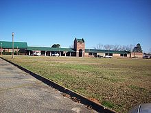 Daleville High School
Daleville is served by one elementary school, serving grades K through 6 Windham Elementary School; , and one high school, serving grades 7 through 12 Daleville High School. The high school's JROTC program has held the rating of "Honor Unit With Distinction", the highest possible unit ranking within the JROTC program, for the past 33 consecutive years (as of 2007). Its rifle team has won seventeen state championships and numerous local competitions.[6] The high school football team was the winner of the 1992 4A football championship,[7] and was runner-up in 1993.[8] In 1997, the high school basketball team reached the state's final four tournament.[8]
Daleville forms a self-contained school district, independent of the surrounding Dale County School District.
NFL Fullback and Pro Bowler Tony Richardson, currently (as of 2010) of the New York Jets, played his high school football at Daleville. Lettering in basketball, football and track, Richardson continued his career at Auburn University, going on to stardom with the Kansas City Chiefs and Minnesota Vikings before signing with the Jets. Shawn Stuckey, a linebacker for the New England Patriots in 1998, also played high school football at Daleville.
Notable residents
- Mickey Andrews - College football coach
- Tony Richardson - NFL player and Pro-Bowler
- Robert W. Smith - Composer
- Shawn Stuckey - NFL player and attorney
References
- ^ http://www.dalevilleinn.com/about.html. Retrieved on 21 July 2008.
- ^ "US Gazetteer files: 2010, 2000, and 1990". United States Census Bureau. 2011-02-12. http://www.census.gov/geo/www/gazetteer/gazette.html. Retrieved 2011-04-23.
- ^ "American FactFinder". United States Census Bureau. http://factfinder.census.gov. Retrieved 2008-01-31.
- ^ a b Daleville City Website. Retrieved on 2009-04-30.
- ^ http://capwiz.com/state-al/dbq/zs.dbq?dir=state-al&state=al&azip=36322&bzip=. Retrieved on 2009-04-30.
- ^ http://www.daleville.k12.al.us/dhs-jrotc.html. Retrieved on 21 July 2008.
- ^ http://www.ahsaasports.com/football/paststatechampions.asp. Retrieved on 21 July 2008.
- ^ a b http://www.daleville.k12.al.us/dcspam.htm. Retrieved on 21 July 2008.
External links
- Daleville City Website Official city website.
- Daleville City Schools Website of Daleville City Schools.
- Southeast Sun Online news about Daleville and surrounding area.
- Daleville Weather Weather info for Daleville.
Coordinates: 31°18′09″N 85°42′40″W / 31.302496°N 85.711083°W
Municipalities and communities of Dale County, Alabama Cities Daleville | Dothan‡ | Enterprise‡ | Ozark
Towns Ariton | Clayhatchee | Grimes | Level Plains | Midland City | Napier Field | Newton | Pinckard
CDPs Footnotes ‡This populated place also has portions in an adjacent county or counties
Categories:- Cities in Alabama
- Populated places in Dale County, Alabama
- Enterprise-Ozark micropolitan area
- Populated places established in 1830


Wikimedia Foundation. 2010.