- Bristol city centre
-
Coordinates: 51°27′10″N 2°35′38″W / 51.45271°N 2.59394°W
 Bristol city centre, Bristol
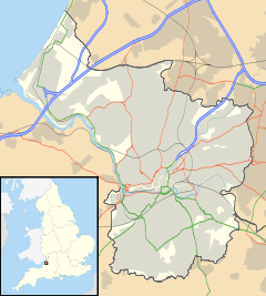
 The channelled River Avon (the Floating Harbour) flows through the city centre. Most of the central part of the City of Bristol is shown here
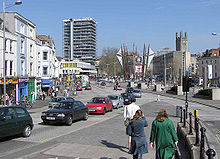 The heart of Bristol city centre, seen from the bottom of Park Street
Bristol city centre is the commercial, cultural and business centre of Bristol, England. It is the area south of the central ring road and north of the Floating Harbour, bounded north by St Pauls and Easton, east by Temple Meads and Redcliffe, and west by Clifton and Canon's Marsh. It is contained entirely within the Council ward of Cabot.
Contents
Historic centre
The historic heart of the city was immediately north of Bristol Bridge, between the River Frome and the River Avon, in the area of High Street, Broad Street and Corn Street. The eastern part of this area, between the bridge and Bristol Castle, was destroyed in 1940 during the Bristol Blitz, but the western part largely survived, and contains many historic buildings.
After the war, the blitzed area was redeveloped, and Castle Park was also created.
The Centre
Main article: The Centre (Bristol)The course of the River Frome, immediately to the west of the historic centre, was covered over in stages, in the second half of the 19th century. The area became the hub of the city's tramway network, and was known as the Tramways Centre. It was so called long after the last trams left in 1939, but is now known simply as the Centre.
Between 1936 and 1938, the Centre was enlarged when more of the River Frome, between Broad Quay and St Augustine's Parade, was covered in, making way for an inner ring road.[1] These planning decisions are beginning to be reversed, for example, the ring road is no longer circular, as the stretch through Queen Square has been closed and returned to its use as a public park. St Augustine's Parade is also becoming less car oriented, as roads have been narrowed, turned into bus lanes or closed altogether. The Centre was redeveloped for the millennium, with fountains and a cascade being erected.
 Radisson Blu Hotel and Broad Quay Serviced Apartments, The Centre
Broadmead
Main article: BroadmeadThe area northeast of the historic area, around Broadmead, was redeveloped after the war, and the streets and shops in Broadmead became the main shopping district of the city. Like most 1950s buildings in Britain, affordable but architecturally uninteresting utilitarian buildings form the bulk of the Broadmead area.
In the 1980s, some of these were demolished to make way for the Galleries shopping centre, which is a three level covered street. In 2008, the shopping area was extended over the central ring road to produce a new shopping centre, Cabot Circus, which opened in September 2008.
 The North Entrance to the Galleries Shopping Centre, Broadmead
Harbourside
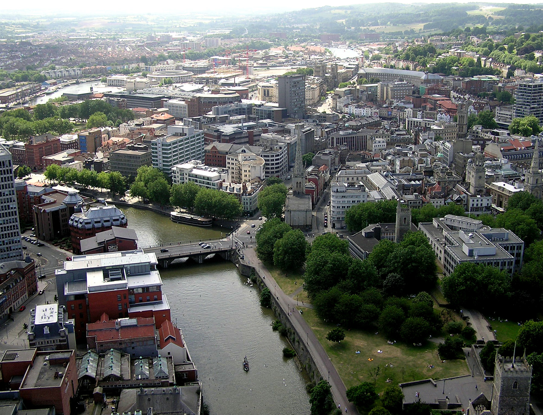
The City Docks were immediately south of the Centre. Although most ships used Avonmouth Docks after the Royal Edward Dock was opened in 1908, ocean-going ships were regularly seen at the Centre until the 1960s. In 1972 the Royal Portbury Dock was opened, and the City Docks were closed. The harbour buildings, including the tobacco warehouses, became redundant.
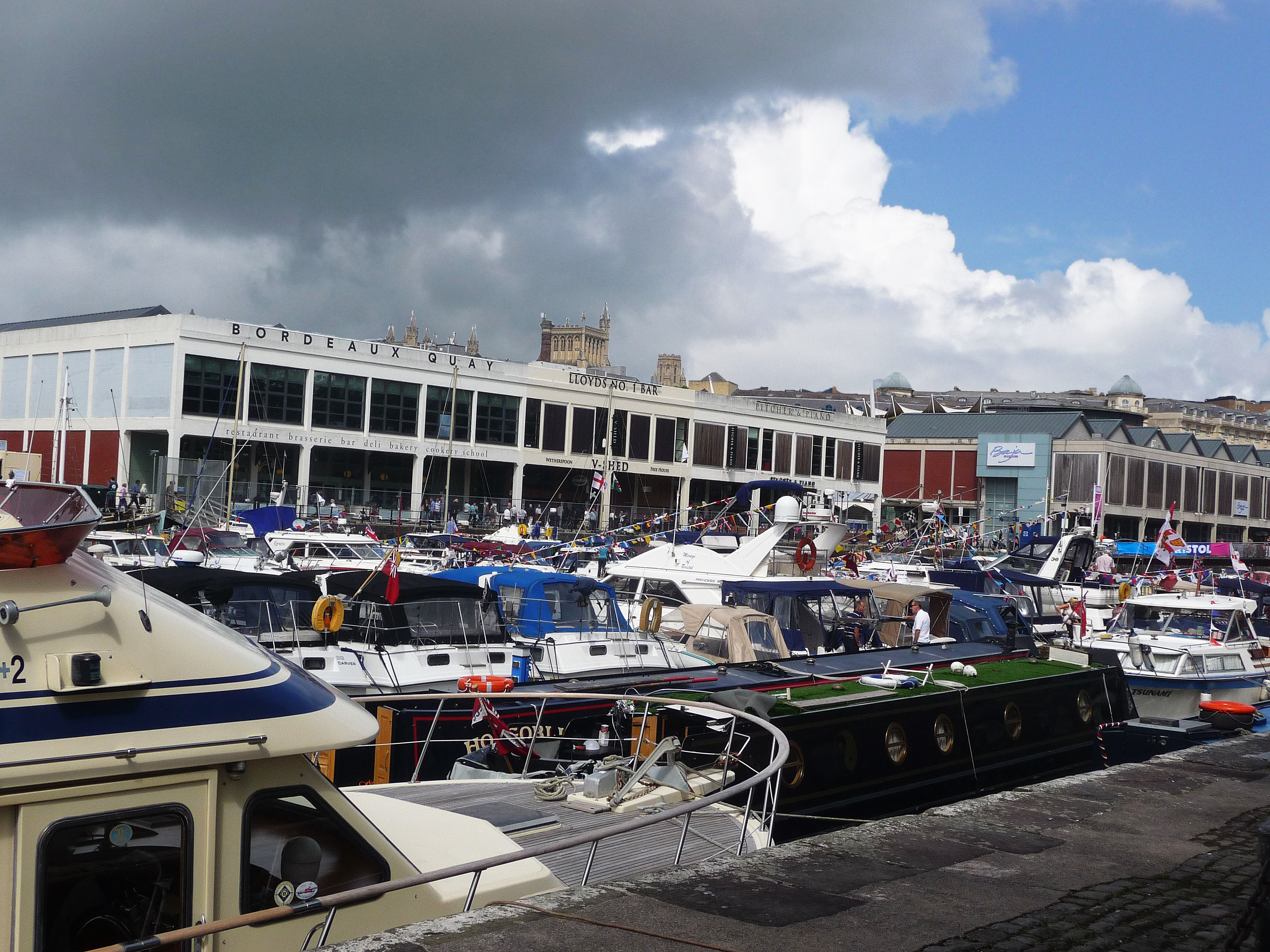
The harbourside has been regenerated in the 1990s and 2000s, with the refurbishment of warehouses as bars, restaurants, the Watershed Media Centre and the Arnolfini art gallery, as well as the creation of At-Bristol.
 St. Augustine's Reach, Bristol Harbour
Old City
Old City is the area to the North East of St Augustine's Reach, It contains St Nicolas Market, Queen Square, King Street and many bars and restaurants, it is a key part of Bristol's night life.
References
- ^ Reece Winstone (1963), Bristol as it Was 1939-1914 photos 30, 31
External links
- Broadmead Bristol website
- The future of Broadmead and Merchants Quarter
- Petition to change the name 'Merchants' Quarter
- Bristol City Centre expansion website
- Map of Bristol City Centre circa 1900
Categories:- Districts of Bristol
- Central business districts in the United Kingdom


Wikimedia Foundation. 2010.