- Mangotsfield
-
Coordinates: 51°29′N 2°29′W / 51.48°N 2.49°W
Mangotsfield 
 Mangotsfield
Mangotsfield shown within GloucestershirePopulation 9,732 (2001 Census) OS grid reference ST641780 Unitary authority South Gloucestershire Ceremonial county Gloucestershire Region South West Country England Sovereign state United Kingdom Postcode district BS Dialling code 0117 Police Avon and Somerset Fire Avon Ambulance Great Western EU Parliament South West England List of places: UK • England • Gloucestershire Mangotsfield is a village in South Gloucestershire, England, situated north of the Bristol suburb of Kingswood, bounded to the north by the M4 motorway and to the east by the Emersons Green housing estate.
The village was mentioned in the Domesday Book in 1086 as Manegodesfelle. St James's Church was originally 13th century but was altered in 1812 by James Foster of Bristol and again in 1851 by Pope, Bindon and Clarke. Rodway Hill House is 16th century.
In the centre of the village there used to be small village green, but it has been replaced by a large pavement, car parking and some local shops. Over the last decade the development of the Emersons Green housing estate has given rise to a large amount of traffic in the village.
Mangotsfield railway station on the former Midland Railway line was closed in 1966. It was the junction on the main line between Bristol and Gloucester for the branch line that ran to Bath Green Park and on to the Somerset and Dorset Joint Railway to Bournemouth. The playwright and actor Arnold Ridley, famous for portraying the part of Private Godfrey in the BBC comedy Dad's Army, reputedly got the idea for his famous play The Ghost Train whilst waiting at the deserted station to catch a train in the early 1920s.
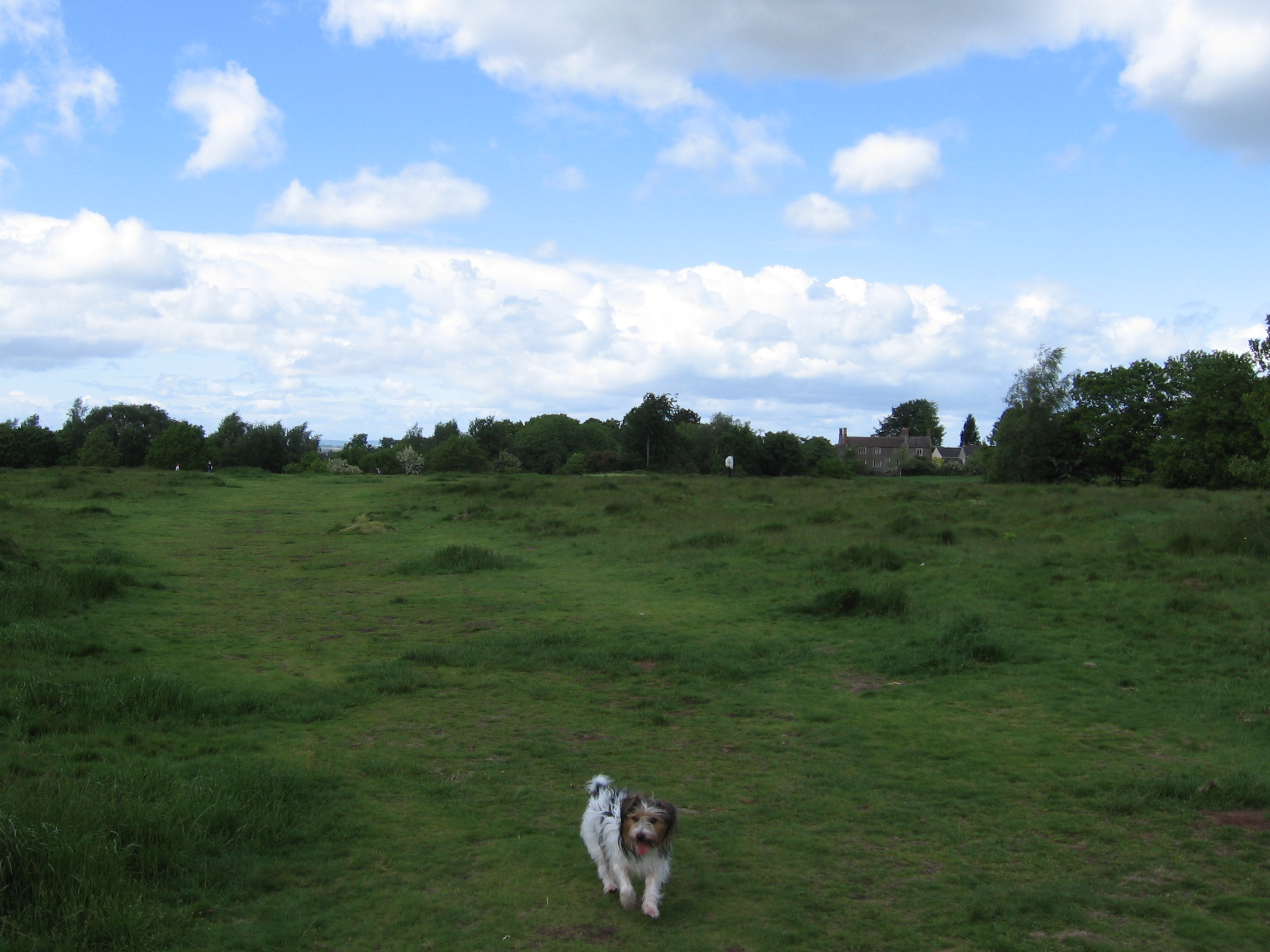
Mangotsfield is the home of Mangotsfield United F.C. and Cleve R.F.C. Rodway Hill is a favourite spot for dog walkers and the starting point of many pigeon races.[1]
Contents
Education and schools
There is one secondary school in Mangotsfield: Mangotsfield School (A Specialist College in Engineering and Science).
It was formed after an almagamation between The Rodway School which is located at the current Mangotsfield School site opposite Rodway Common, and The Chase School for Boys which was located in Cossham Street. The Cossham Street and Rodway sites provided the lower school and upper school sites for Mangotsfield School respectively.
The Cossham Street site was demolished in 1996 to make way for the Emersons Green housing estate. The whole school was brought onto an expanded Rodway site. In 1997, whilst excavating the old school field, archaeologists made an important discovery when they unearthed a sarcophagus containing the remains of two people; one of them is thought to be a high-ranking Roman official. The sarcophagus is displayed in Bristol City Museum.
Notable people
Francis Greenway, a transported convict who became a prominent architect in Sydney, New South Wales, and whose image appeared on the first Australian decimal-currency $10 note in 1966, was born here in 1777.
Local hero and ex Bristol Rovers Queens Park Rangers and Aston Villa striker Gary Penrice grew up in Mangotsfield.
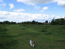 Rodway Hill, Mangotsfield.
History
The village was mentioned in the Domesday Book in 1086 as Manegodesfelle. [2] St James's Church was originally 13th century but was altered in 1812 by James Foster of Bristol and again in 1851 by Pope, Bindon and Clarke. Rodway Hill House is 16th century.
In the 1870s the Imperial Gazetteer of England & Wales by John Marius Wilson said about Mangotsfield:
MANGOTSFIELD, a village and a parish in the district of Keynsham and county of Gloucester. The village stands adjacent to the Bristol and Birmingham railway, 6 miles N E of Bristol; and has a station on the railway, and a post office under Bristol. The parish contains also Staplehill and Downend. Acres, 2,591. Real property, £9,975; of which £30 are in quarries, £500 in mines, and £65 in iron-works. Pop. in 1851,3,967; in 1861,4,222. Houses, 922. The property is much subdivided.
There are numerous good residences. Pennant stone is worked in the N; and the coal tract of Kingswood adjoins the S. There was anciently a nunnery; and remains of it existed in the time of Leland. The living is a vicarage, united with the chapelry of Downend, in the diocese of Gloucester and Bristol. Value, £251. Patron, the Rev. A. Peache. The church was mainly rebuilt in 1850: is in the pointed style; and consists of nave, N aisle, chantry, and chancel, with tower and spire. A chapel of ease, with 1,020 sittings, is at Downend. There are chapels for Independents, Baptists, and Wesleyans, two national schools, an infant school, and an Independent day school. A police station is at Staplehill.Mangotsfield was an ancient parish. It was reduced in 1894 by the creation of a Kingswood parish, with the rest forming a parish in Warmley Rural District. In 1927 a Mangotsfield urban district was set up in part of the parish, the remainder becoming the Mangotsfield Urban District Council parish. In 1972 Mangotsfield UD and Warmley RD were merged with the Kingswood UD to form Kingswood Borough, which was merged with Northavon in 1996 to form South Gloucestershire unitary district.
Location grid
Neighbouring urban areas, villages, and hamlets 
Winterbourne Kendleshire Henfield Downend 
Pucklechurch  Mangotsfield

Staple Hill Kingswood Warmley References
- ^ http://www.rpra.org/lib_sites.htm
- ^ See National Archives Cat Ref: E31/2/1
Subdivisions of Bristol Constituencies Wards Ashley · Avonmouth · Bedminster · Bishopston · Bishopsworth · Brislington East · Brislington West · Cabot · Clifton · Clifton East · Cotham · Easton · Eastville · Filwood · Frome Vale · Hartcliffe · Henbury · Hengrove · Henleaze · Hillfields · Horfield · Kingsweston · Knowle · Lawrence Hill · Lockleaze · Redland · Southmead · Southville · St George East · St George West · Stockwood · Stoke Bishop · Westbury-on-Trym · Whitchurch Park · Windmill HillNeighbourhoods City centre · Arnos Vale · Ashley Down · Ashton Gate · Ashton Vale · Avonmouth · Baptist Mills · Barton Hill · Bedminster · Bedminster Down · Bishopston · Bishopsworth · Blaise Hamlet · Bower Ashton · Brentry · Brislington · Broadmead · Broomhill near Brislington · Broomhill near Stapleton · Canon's Marsh · Chester Park · Chittening · Clifton · Cliftonwood · Coombe Dingle · Cotham · Crew's Hole · Crofts End · Easton · Eastville · Filwood Park · Fishponds · Golden Hill · Greenbank · Hartcliffe · Headley Park · Henbury · Hengrove · Henleaze · Hillfields · Horfield · Hotwells · Kensington Park · Kingsdown · Knowle · Knowle West · Lawrence Hill · Lawrence Weston · Lockleaze · Lodge Hill · Mayfield Park · Monks Park · Montpelier · Old City · Redcliffe · Redfield · Redland · Sea Mills · Shirehampton · Sneyd Park · Southmead · Southville · Speedwell · Spike Island · St Andrews · St Annes · St George · St Jude's · St Pauls · St Philips Marsh · St Werburghs · Stapleton · Stockwood · Stoke Bishop · Stokes Croft · Totterdown · Tyndalls Park · Upper Knowle · Westbury-on-Trym · Westbury Park · Whitchurch · Whitehall · Windmill Hill · WithywoodThe following suburbs are in the same urban area but lie in South Gloucestershire
Bradley Stoke · Conham · Downend · Emersons Green · Filton · Frenchay · Hambrook · Hanham · Little Stoke · Kingswood · Mangotsfield · Patchway · Soundwell · Staple Hill · Stoke Gifford · WinterbourneOther Notable Areas Bristol Harbour · Buildings · Churches · Cribbs Causeway · Places of interest · Stokes Croft
Categories:- Districts of Bristol
- South Gloucestershire geography stubs

Wikimedia Foundation. 2010.