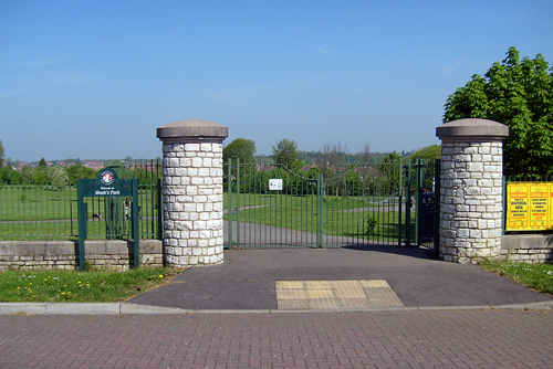
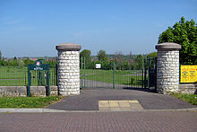
Monks Park

Monks Park
Monks Park

Monks Park is a northern suburb of the city of Bristol, England and is the highest point within the city. Monks Park stretches westward, towards Southmead, from the A38 trunk road. Filton Park lies directly north, on the South Gloucestershire side of the city boundary. Horfield lies to the east of the A38 and also to the south.

Monks Park takes its name from James Henry Monk, a nineteenth-century bishop of Gloucester and Bristol. The first development in Monks Park took place in the 1930s. Housing is mainly privately owned and semi-detached. Southmead Hospital, Bristol's largest hospital, occupies the south west corner of the suburb. There are two primary schools (Upper Horfield and St Teresa's RC) and Monks Park Secondary School.

Coordinates: 51°29′54″N 2°35′21″W / 51.49841°N 2.58918°W / 51.49841; -2.58918


Wikimedia Foundation. 2010.

Игры ⚽ Нужно решить контрольную?

Look at other dictionaries:

  • Monks Park Secondary School — Infobox UK school name = Monks Park Secondary School size= 220px latitude=51.499056 longitude= 2.580097 map type=Bristol phone = 0117 377 2000 fax = 0117 377 2001 established = 1957 type = Community School head = Dr Helen Holman street = Filton… …   Wikipedia

  • Monks Mound — in summer. The concrete staircase follows the approximate course of the ancient wooden stairs …   Wikipedia

  • Monks' Dyke Technology College — Motto Demanding Imaginative Learning Type Comprehensive President Dr. Chris Rolph Bsc Phd Headteacher Ros Webber Jones Specialism Technology …   Wikipedia

  • Monks Risborough railway station — Monks Risborough Location Place …   Wikipedia

  • Monks Orchard — Coordinates: 51°22′54″N 0°03′15″W / 51.3818°N 0.0541°W / 51.3818; 0.0541 …   Wikipedia

  • Monks Brook — Coordinates: 50°56′08″N 01°22′33″W / 50.93556°N 1.37583°W / 50.93556; 1.37583 …   Wikipedia

  • Monks Risborough — Coordinates: 51°44′04″N 0°49′47″W / 51.734462°N 0.829831°W / 51.734462; 0.829831 …   Wikipedia

  • Park Hill Recreation Ground — For other uses, see Park Hill (disambiguation). Park Hill Park Hill Recreation Ground entrance from Central Croydon side Type Public park Location Croydon …   Wikipedia

  • Mayfield Park, Bristol — Coordinates: 51°28′50″N 2°31′27″W / 51.4805°N 2.5241°W / 51.4805; 2.5241 …   Wikipedia

  • Chester Park, Bristol — Coordinates: 51°28′19″N 2°31′26″W / 51.4719°N 2.5239°W / 51.4719; 2.5239 …   Wikipedia

Share the article and excerpts

Direct link
Do a right-click on the link above
and select “Copy Link”