- San Fernando, Trinidad and Tobago
-
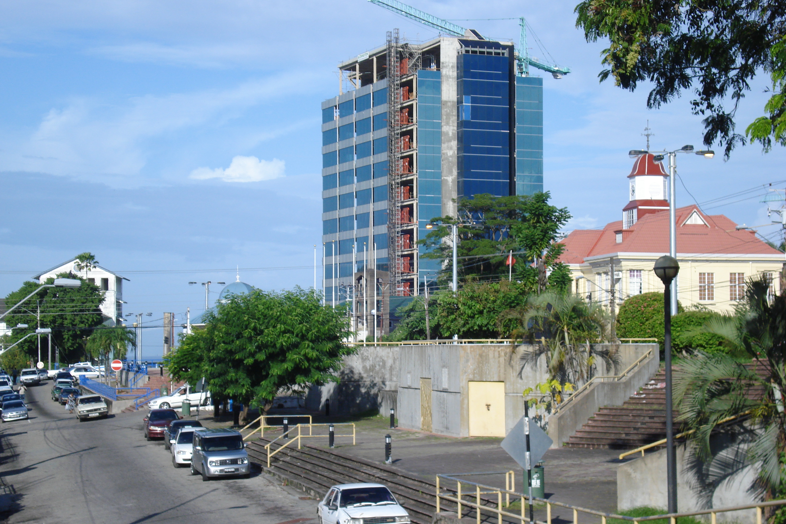
San Fernando — City — San Fernando Landmarks: Harris Promenade in foreground,the 17 story Chancery Lane Government Complex rising in the centre, part of the City Hall Complex at right and the northern end of the General Hospital Complex Old Wing.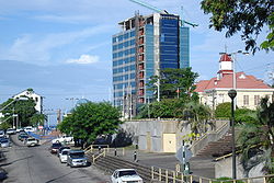
Motto: Sanitas Fortis
In a Healthy Environment We Will Find Strength.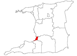
Coordinates: 10°17′N 61°28′W / 10.283°N 61.467°WCoordinates: 10°17′N 61°28′W / 10.283°N 61.467°W Country Trinidad and Tobago Jurisdiction City of San Fernando Government - Mayor Marlene Coudray - San Fernando City Corporation Area - Total 18.64 km2 (7.2 sq mi) Population (2000 est) - Total 55,419 - Density 2,970/km2 (7,692.3/sq mi) ranked 3rd Time zone AST (UTC-4) Website http://sancity.org/ 
The City of San Fernando with a population of 55,419 according to the 2000 census,[1] is the larger of Trinidad and Tobago's two cities and the second largest municipality after Chaguanas. It occupies 18 km² and is located in the southwestern part of the island of Trinidad. It is bounded to the north by the Guaracara River, the south by the Oropouche River, the east by the Sir Solomon Hochoy Highway, and the west by the Gulf of Paria. The former Borough of San Fernando was elevated to the status of a city on November 18, 1988. The motto of San Fernando is: "Sanitas Fortis" - In a Healthy Environment We Will Find Strength. Many local Trinidadians refer to the city with the shortened name "Sando." San Fernando is called Trinidad's "industrial capital" because of its proximity to the Pointe-a-Pierre oil refinery and many other petrochemical, LNG, iron and steel and aluminium smelters in places such as Point Lisas, Point Fortin, and La Brea. La Brea is also home to the world famous pitch lake, the chief tourist attraction in the San Fernando area, and has offshore oil and gas platform fabrication facilities, as well as a deep water harbour.
Contents
History
The Amerindians called the area Anaparima, which has been translated as either Single Hill or Without Water. A single hill, San Fernando Hill rises from the centre of the city. A town named San Fernando de Naparima was established by Spanish Governor Don José Maria Chacón in 1784, in honour of the heir to Spanish crown. With time, the de Naparima was dropped.
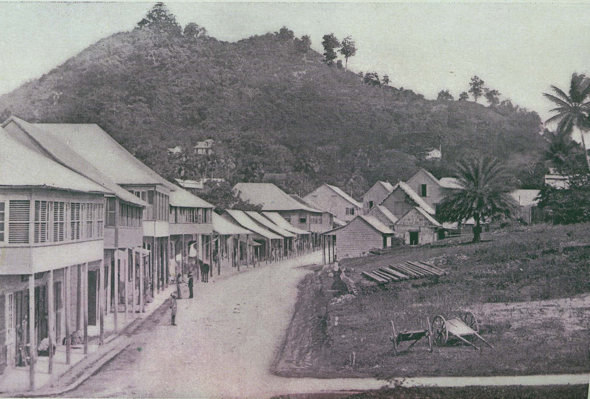
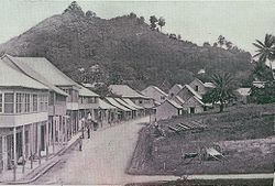 San Fernando, High Street, 1890s
Following the 1783 Cedula of Population, many sugar plantations were established in the Naparima Plains surrounding San Fernando. The town grew as this part of the country came to dominate sugar production. This growth continued throughout the nineteenth century as consolidation in the sugar industry led to the construction of what was then the largest sugar refinery in the world, the Usine, Ste. Madeline factory a few miles east of the town. The development of cacao cultivation and the petroleum industry helped San Fernando grow since the town served as the gateway to these areas.
The growth of the town placed severe strains on the supply of water, especially during the dry season. Complaints by the burgesses of the town resulted in numerous reports by geologists and hydrologists throughout the later nineteenth and early twentieth century, but the problem was not solved until the Navet Dam was constructed in the 1930s.
The nearby oil refinery at Pointe-à-Pierre played an important role in San Fernando's development between World War II and the 1980s. The refinery was constructed by Trinidad Leaseholds Limited during World War II, and constituted one of the largest contributions to the war effort by a private company. The 'oil boom' of the 1970s and 80s led to the growth of the suburbs of San Fernando, especially Marabella (to the north) and Gasparillo (to the east) of the Pointe-à-Pierre refinery. In 1991 the boundaries of the city were extended, bringing the refinery (the largest in the Caribbean) immediately adjacent to the City's northern boundary.
The extended City now includes the suburbs of Marabella, Bel Air, Gulf View and Cocoyea.
It is unfortunate that due to extremely quick and often reckless development, San Fernando has lost much, if not all of its history; most of its old and interesting buildings have been demolished, and perhaps the only section of the city that reminds one of its past is in the vicinity of the San Fernando Wharf and Harris Promenade.
Cityscape
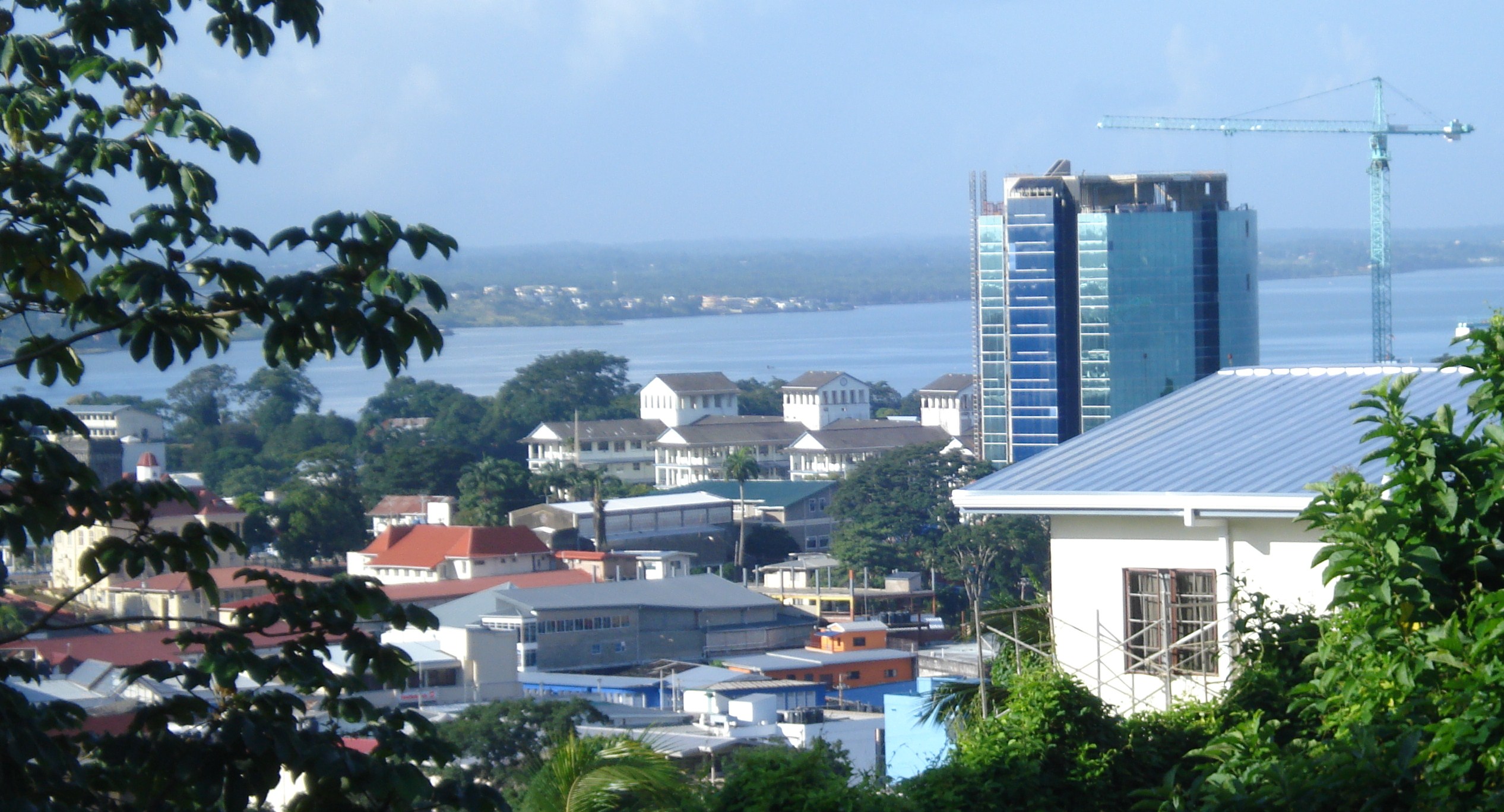
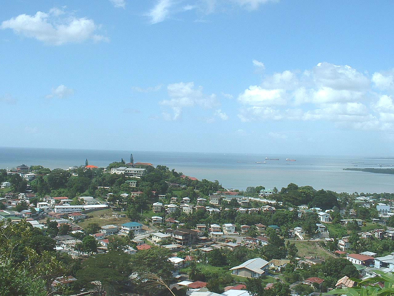
 View of Central San Fernando showing the Gulf of Paria, San Fernando General Hospital, City Hall and the modern 17 story Chancery Lane Government Complex 2008
Geography
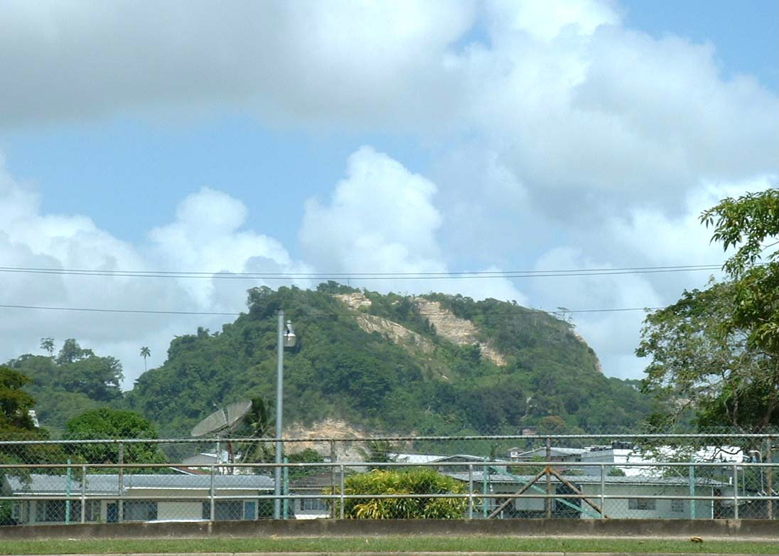
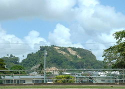 San Fernando Hill viewed from Skinner Park
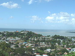 Alexander Hill viewed from San Fernando Hill looking north-west
San Fernando is a coastal town, located in western Victoria County. The city is bounded by the Guaracara River to the north, the Solomon Hochoy Highway to the east, the Southern Main Road to the southeast, and the Oropouche River to the south. The city proper is located on the flanks of two hills - San Fernando Hill (more correctly, Naparima Hill) and Alexander Hill. Several mansions on the pinnacle of Alexander Hill house some of the more prominent San Fernando families. The Cipero, Vistabella, Marabella and the Godineau Rivers all enter the sea within the city limits.
Climate
San Fernando has a seasonal tropical climate with a wet season lasting from June to December and a dry season lasting from January to May.
Urban structure
San Fernando can be divided into the main town, which is located on the flanks of San Fernando Hill and the adjacent Alexander Hill, and the newer suburbs to the north, west and south.
- San Fernando proper, which can be divided into
- Downtown - between King's Wharf and Library Corner
- Paradise
- Les Effort East and Les Effort West
- Mon Repos
- The Old Suburbs
- Vistabella
- St. Joseph Village
- Pleasantville
- Cross Crossing
- Southern suburbs
- Cross Crossing, including Green Acres
- Union Hall Gardens
- Coconut Drive
- Palmiste
- Hermitage
- La Romain
- Gulf View
- Bel Air
- Northern suburbs
- Marabella, including Gopaul Lands
- Tarouba
- Cocoyea
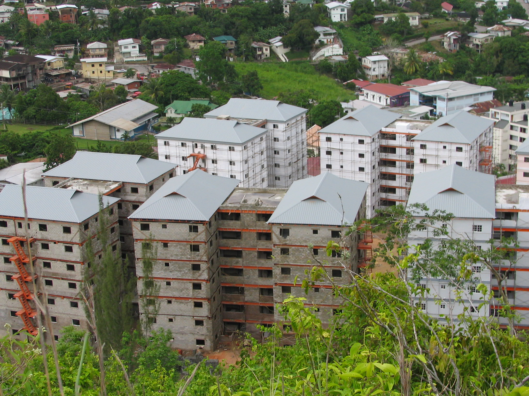
 Housing Complex, San Fernando
Governance
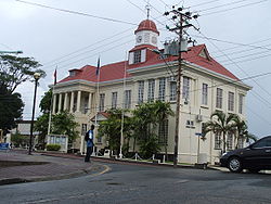
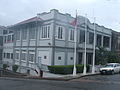
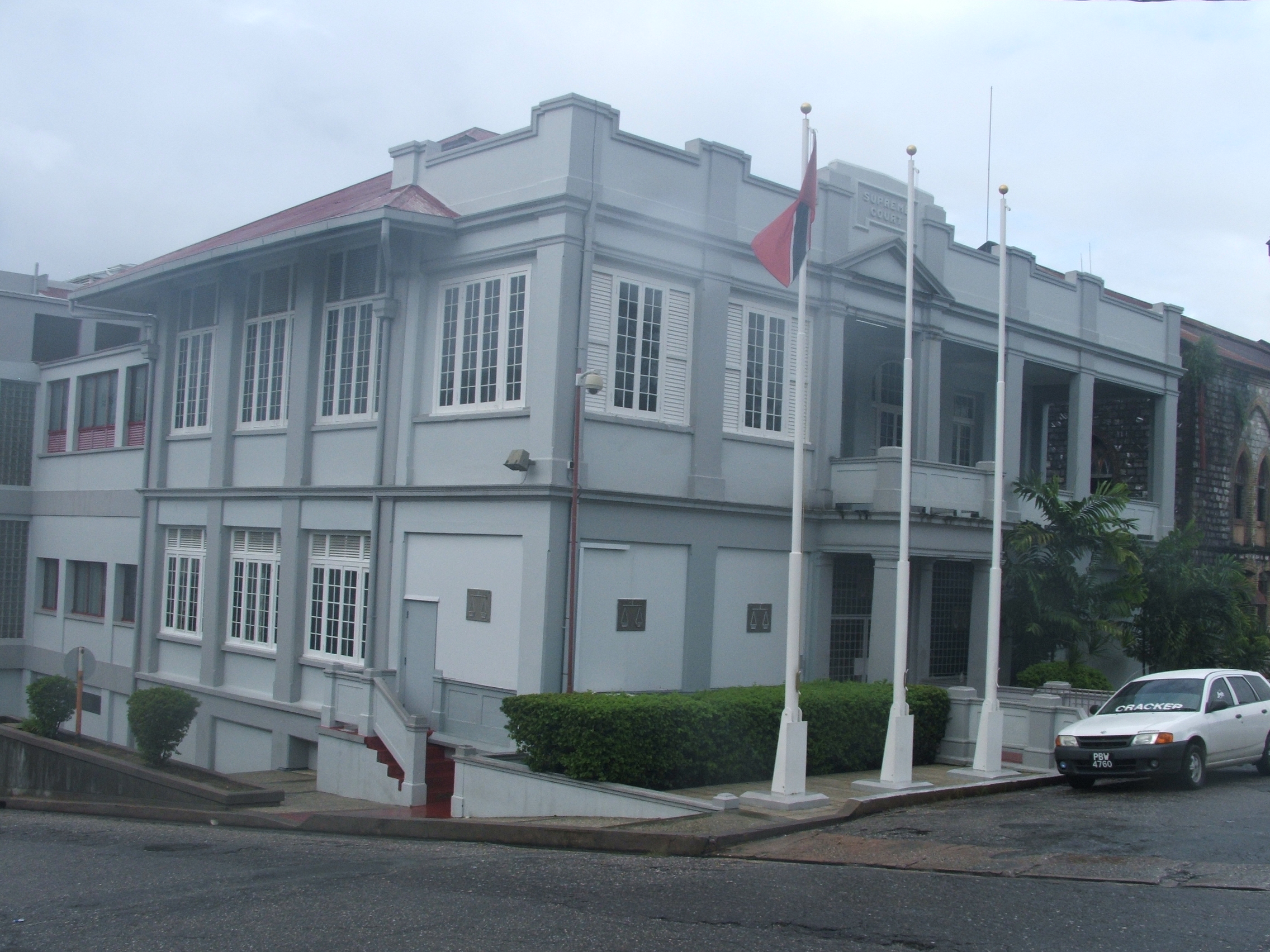
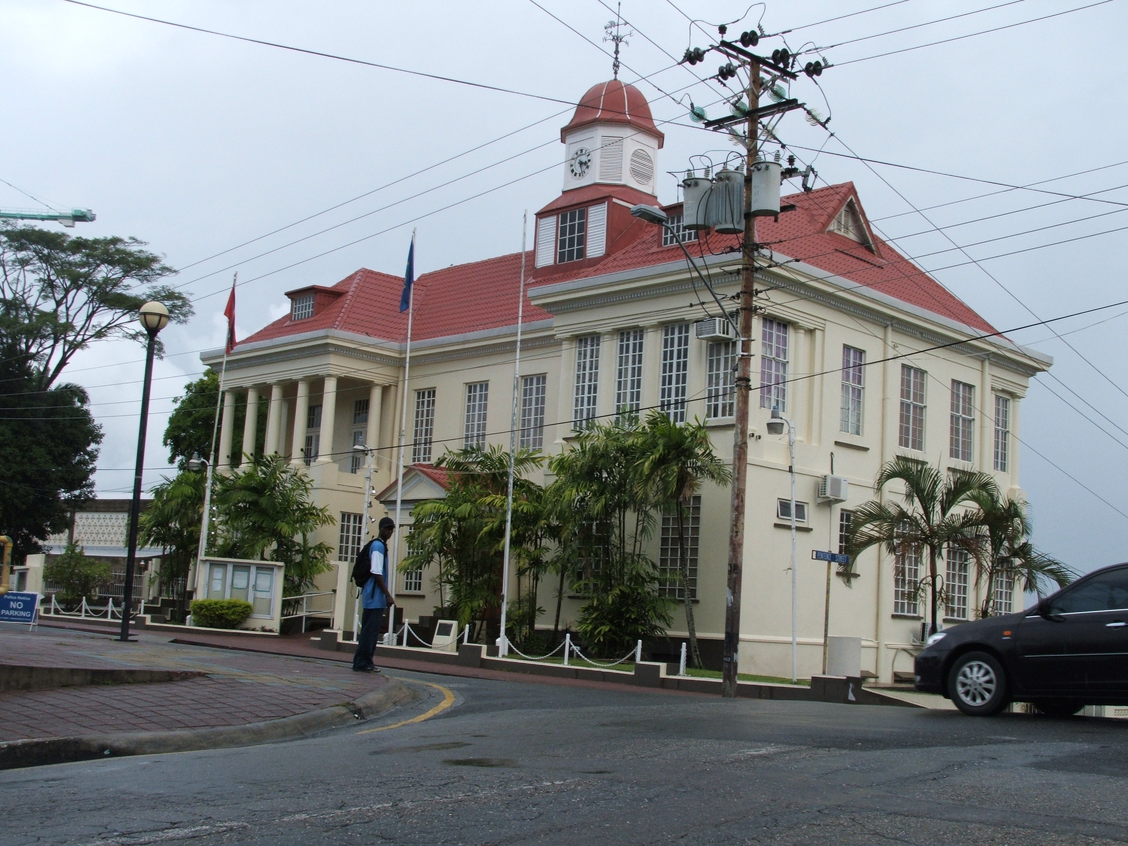
 Court House, Harris Promenade
The administration of San Fernando is done by San Fernando City Corporation. It is a corporate body, and the staff is instrumental in the exercise of the powers of the Corporation through the Council. Functions of this Corporation are delegated by the Central Government, and the Corporation itself is within the jurisdiction of the Minister of Local Government.
 City Hall, Harris Promenade
Local government administration started in 1845, when the Town Council was established and the Municipality of San Fernando came into being. Circa 1853, San Fernando was elevated to a Borough; the first Mayor was Dr. Robert Johnstone. From the simple start of a fishing village, San Fernando blossomed financially, and became "the Industrial Capital" of Trinidad and Tobago.
This crest incorporates the City motto, the sea, the hill, a fishing boat, sugar cane stalk, oil tank, house and two discs. The sea and boat represent the beginnings as a fishing village. The sugar cane stalk represents the sugar industry. The oil tank represents productivity and the oil industry. The house represents shelter for all races. The sun-like disks represent Steelpan and Tassa, as well as togetherness.
During its first year as a city, San Fernando was twinned with the town of La Trinité, Martinique. Ties with the French were re-established.
The City of San Fernando is divided into nine electoral districts, each represented by a Councillor. Three appointed Aldermen sit on the Council, which is chaired by the Mayor, currently Marlene Coudray.
Mayors
- Ian Atherly
- Kenneth Ferguson
- Marlene Coudray (2010–present)
Electoral Districts
The Electoral Districts are:
Electoral District Marabella West Marabella East Marabella South/Vistabella Pleasantville Cocoyea/Tarouba Mon Repos/Navet Springvale/Paradise Les Efforts West/La Romaine Les Efforts East/Cipero Economy
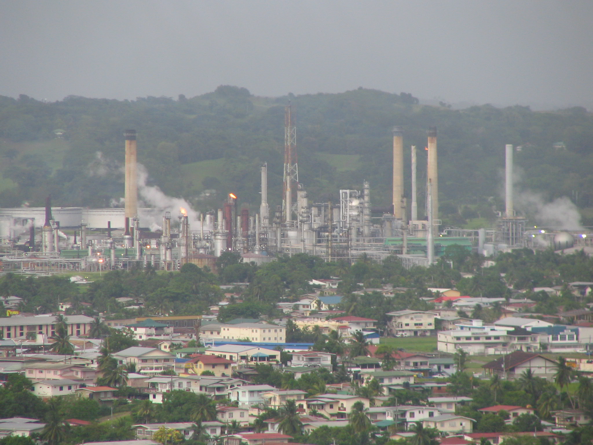
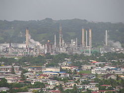 The :Pointe-a-Pierre oil refinery
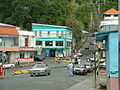
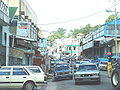
San Fernando is known as the Industrial Capital. Its economy is heavily dependent on the oil fields of southern Trinidad and the refinery at Pointe-à-Pierre. San Fernando serves as a shopping centre for much of southern Trinidad. Gulf City Mall located in La Romain as well as High Street are the two largest shopping areas in all of Southern Trinidad.
Education
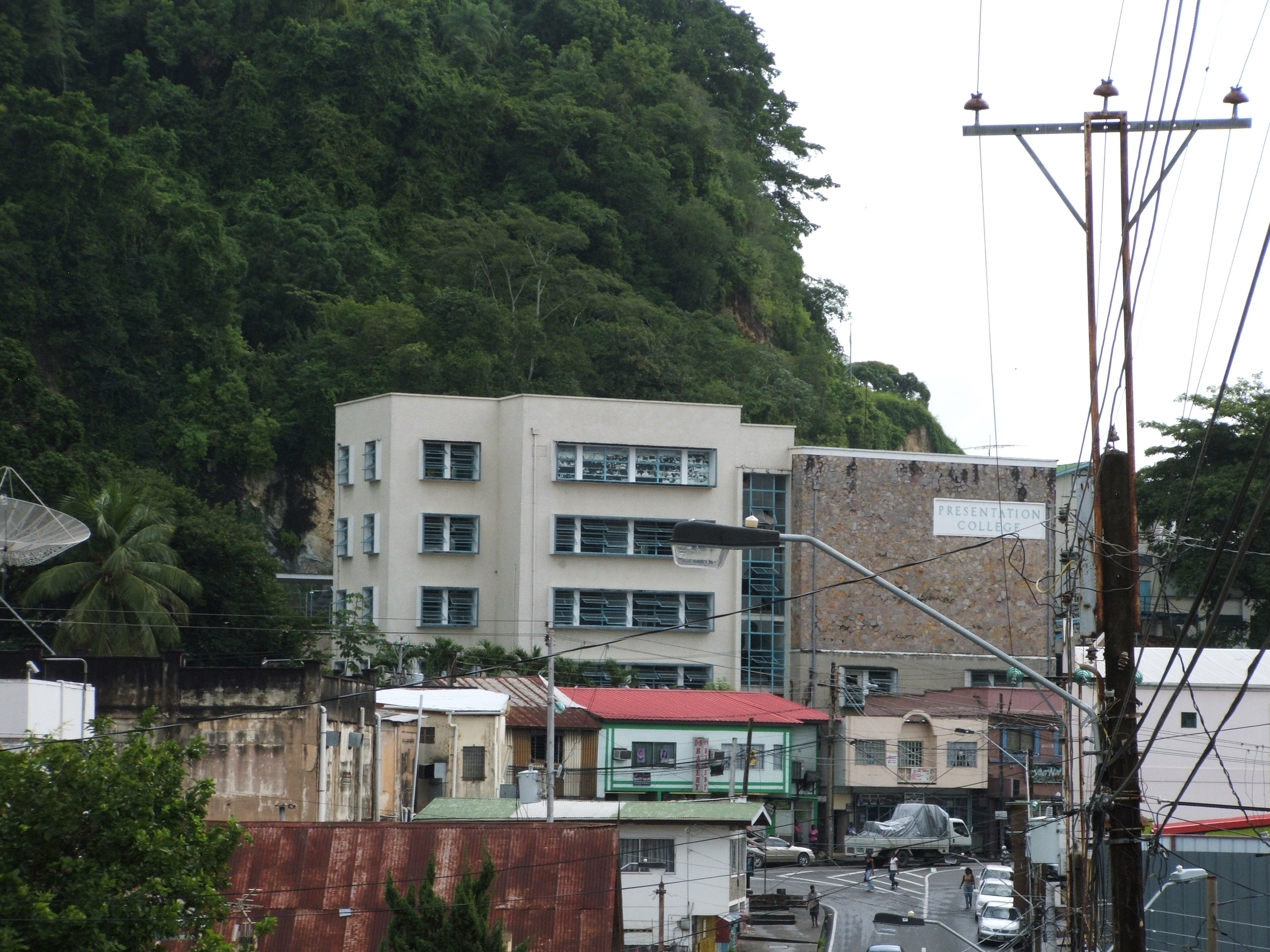
 Presentation College, San Fernando
San Fernando serves as an important educational centre serving the surrounding areas of south Trinidad and attracting students from as far away as Point Fortin, Rio Claro and Couva. Prominent schools in San Fernando include Naparima College, Naparima Girls' High School, Presentation College, St. Joseph's Convent, San Fernando Central Secondary School, ASJA Boys' College, ASJA Girls' College and St. Benedict's College.
Culture and entertainment
Scenery/attractions
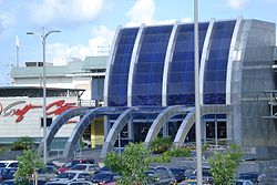 Gulf City Shopping Complex 2008
In terms of scenery, the major attraction is San Fernando Hill. The park at the top of the hill gives a view of much of western Trinidad. Venezuela, on the South American mainland, is visible on clear days.
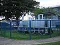
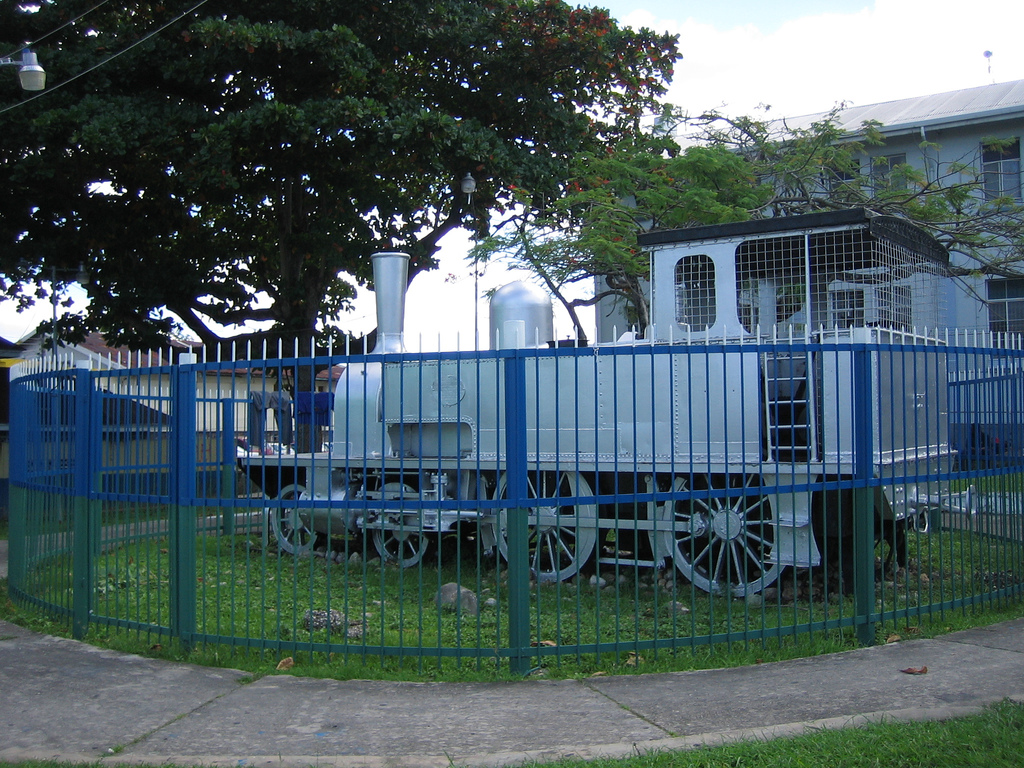
Harris Promenade, named after Lord Harris (Governor of Trinidad 1845–54), houses City Hall, the Magistrates Court, Supreme Court, Police Station, Anglican, Roman Catholic and Methodist churches and two schools, St. Joseph's Convent, San Fernando San Fernando Boys' R.C and St. Gabriel's Girls R.C. School. There is also a bandstand, a statue of Mahatma Gandhi and the famous "last train" engine - the last train that was run in Trinidad. Usually referred to as simply "The Promenade", this area plays an important role in the life of the city. It runs parallel to the main shopping district (High Street), but lacks the busy throngs of people. It also serves as an important judging point for the J'ouvert portion of Trinidad and Tobago Carnival. The eastern end of The Promenade is known as "Library Corner" after the Carnegie Free Library (a gift from Andrew Carnegie) which was opened in 1919. Seven roads meet at Library Corner (including Harris Promenade, High Street, Pointe-à-Pierre Road, La Pique Road, Coffee Street and Mucarapo Street). Although "Library Corner" was once the transportation hub of San Fernando, this is no longer the case as taxi stands have been moved away from the centre of town in an attempt to relieve congestion. The San Fernando General Hospital is located at the western end of Harris Promenade.Naparima Bowl is the performing arts centre in San Fernando until the National Academy of the Performing Arts, South is completed.
Media
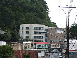
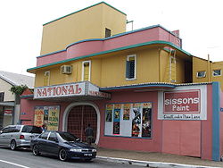 National Cinema, San Fernando
The Trinidad Guardian, Trinidad Express and the Newsday newspapers have regional offices in San Fernando.
Sports
Skinner Park was given to the people of San Fernando for recreational purposes such as football, cricket and other athletic events and training. It is also an important part of Carnival, where historically bands are judged and has been the site of the Semi-Finals of the Calypso Monarch celebrations. In a historical move, the National Steelband Panorama Finals were held here on 17 February 2007. This was the first time that the event was held somewhere other than the Queen's Park Savannah in Port of Spain, as that location was unavailable due to planned construction of a Carnival Complex on its grounds. The role of "The Park" as a sporting venue has largely been supplanted by newer Manny Ramjohn Stadium in Marabella, on the northern end of town and by Guaracara Park in Pointe-à-Pierre.
Infrastructure
Health
The San Fernando General Hospital serves as a major Health care service for the County of Victoria and the rest of southern Trinidad. Located west of the San Fernando Police station, east of the kings wraft, south of the shopping mall Gulf City and north of Marabella. The hospital is the third largest by size in the country of Trinidad and Tobago. With sixteen wards in the hospital and a newly built state-of-the-art emergency room and Helicopter landing area,the Hospital has four wards that female patients occupy. With state-of-the-art health equipment the hospital is one of the best in the Caribbean.
Transport
Main article: Transport in Trinidad and TobagoPrevious railways are all defunct, but due to serious road traffic congestion a new Rapid Rail system was proposed for 2008. However, it has yet to be implemented. There is also a new ferry ('Water Taxi') service operating between Port Of Spain & San Fernando with routes being expanded to Chaguanas and Chaguaramas
 The San Fernando Bypass: a main artery road
Utilities
Electric generation is mostly handled by Powergen, while electrical distribution is handled by the Trinidad and Tobago Electricity Commission (T&TEC). Powergen has natural gas-fired generation plants at Point Lisas, Penal and Wrightson Road in Port of Spain. Additional power can be supplied from power generation facilities controlled by Trinity Power at Dow Village.
Telecommunications are regulated by the Telecommunications Authority of Trinidad and Tobago (TATT). It has been working to de-monopolise the industry, granting several new licences in 2005. Fixed-line telephone service is a monopoly controlled by Telecommunications Services of Trinidad and Tobago (TSTT). Licences have been granted for competition in this area, but start-up is a while away. Wireless telephony is currently shared by TSTT's mobile branch Bmobile and Digicel, both of whom provide competitive rates for wireless service in Trinidad and Tobago and the greater Caribbean.
Water and sewerage are under the purview of the Water and Sewerage Authority of Trinidad and Tobago (WASA).
Prominent San Fernandians
- Noor Hassanali, President of Trinidad and Tobago (1987–97)
- George Maxwell Richards, President of Trinidad and Tobago (2003- )
- Jean Ramjohn-Richards, First Lady of Trinidad and Tobago (2003- )
- Basdeo Panday, Prime Minister of Trinidad and Tobago (1995–2002)
- Patrick Manning, Prime Minister of Trinidad and Tobago (1991–95, 2002–2010)
- Bisram Gopie, OBE community worker.
- Hasely Crawford, Olympic gold medalist (1976)
- Manny Ramjohn, long-distance runner; first person to win a gold medal for Trinidad and Tobago at a major athletics event.
- Dr. Lall Sawh, Urologist
- Stephen Ames, PGA Tour golfer.
- Sir Trevor McDonald, news reporter.
- Hedy Fry, PC, MP (born August 6, 1941) is a Canadian politician and physician.
- Teresa Lourenco, model.
References
Gallery
-
Undulating sugar cane fields east of San Fernando
-
Former sugar cane estate - Palmiste Estate on outskirts south of San Fernando
-

ASJA Boys' College, Park Street, San Fernando
-
Last Train, Harris Promenade, 2006
-
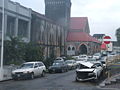
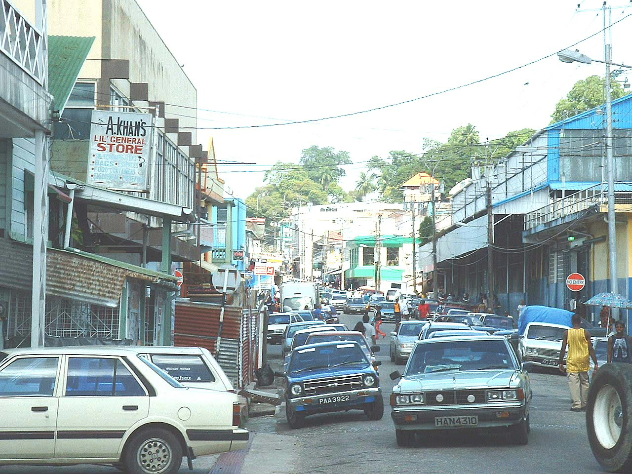
Library Corner, San Fernando
-
Mucurapo Street, San Fernando
-
Cross Crossing, San Fernando
-

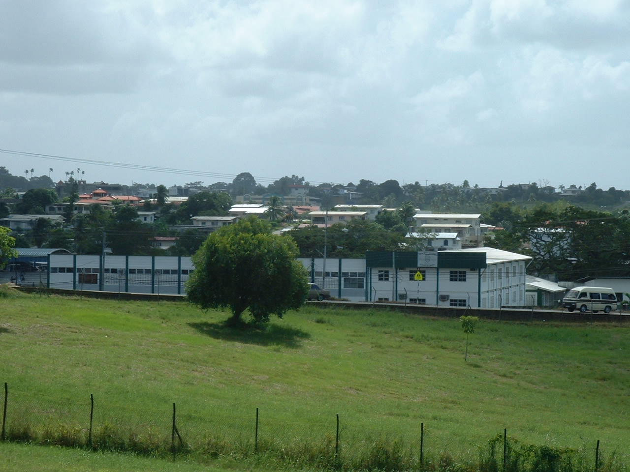
San Fernando Hill viewed from the south at Mosquito Creek
-
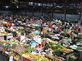
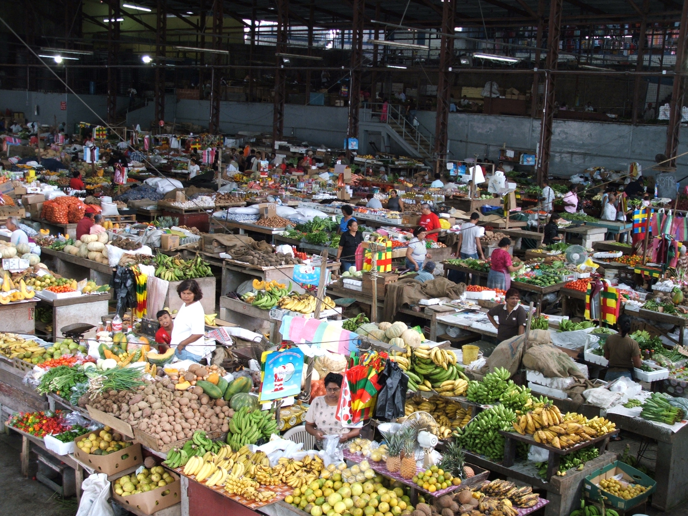
San Fernando (Produce) market, Mucurapo Street
-

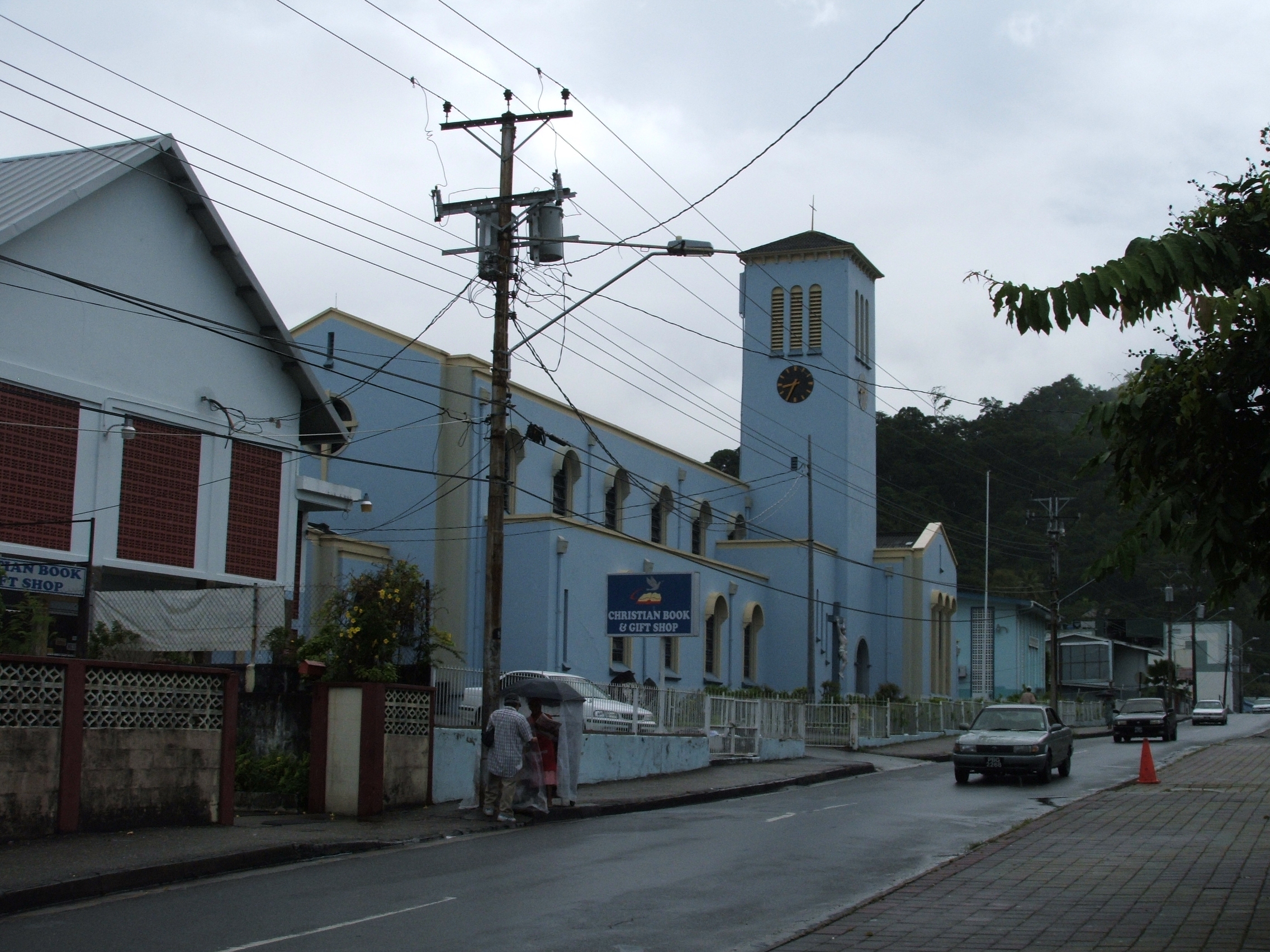
Roman Catholic Church, Harris Promenade
-
Court House, Harris Promenade
-
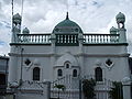
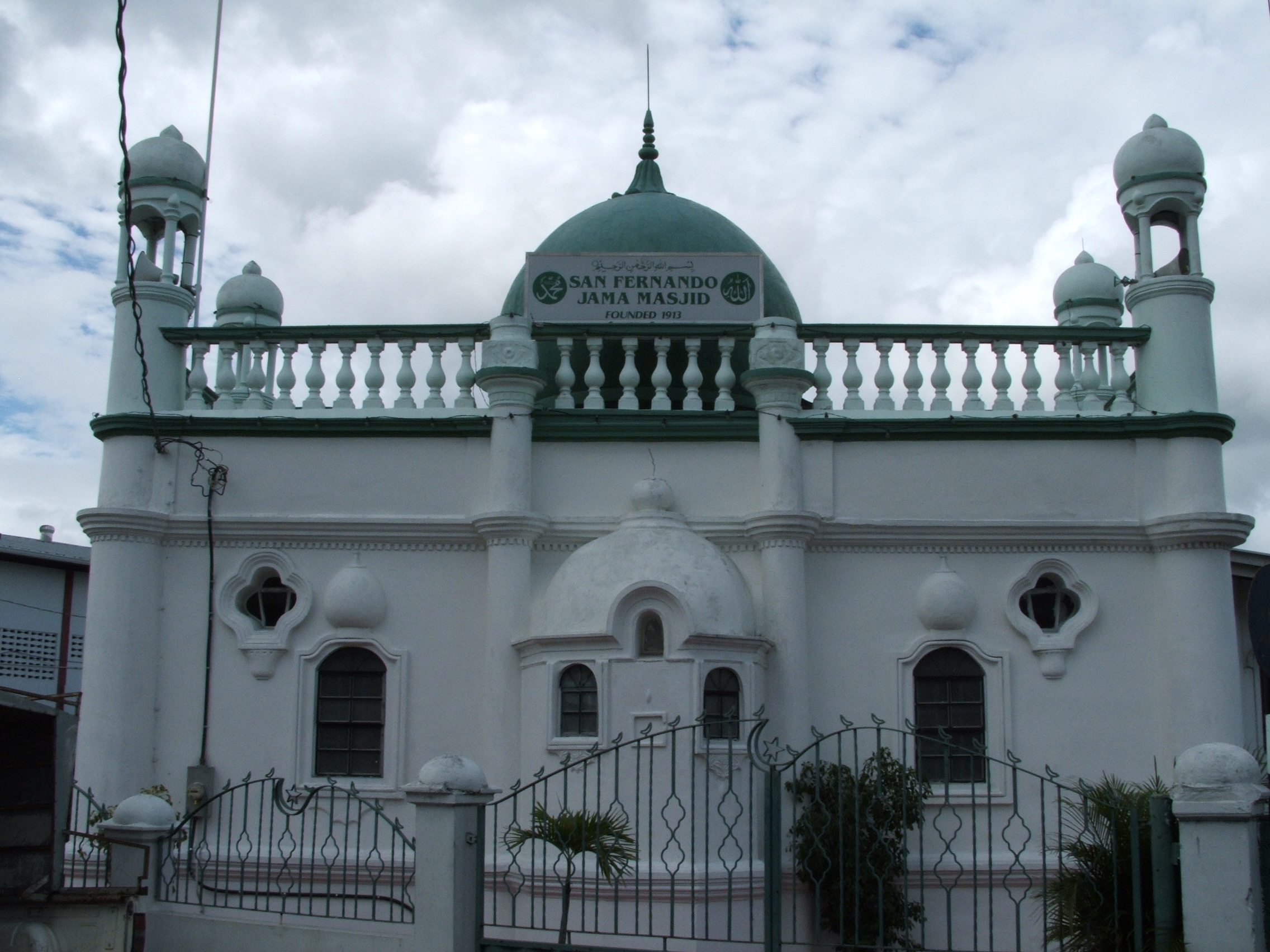
Jama Masjid, Mucurapo Street
-
Police Station, San Fernando
-

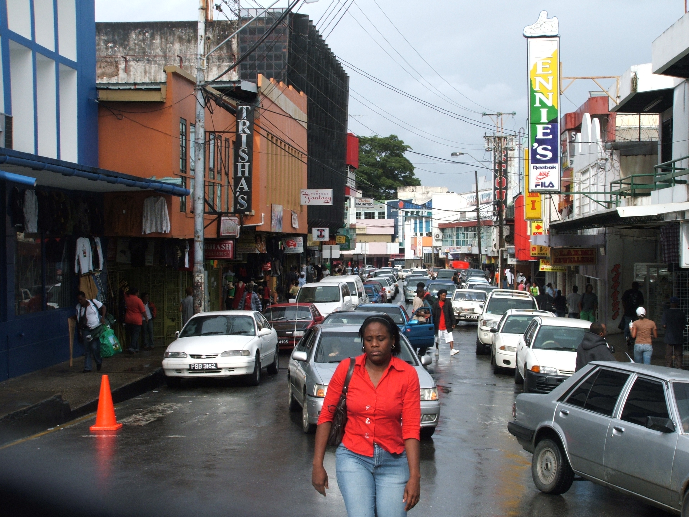
Lower High Street, San Fernando
Local Government in Trinidad and Tobago Regional Corporations 
Boroughs and cities Borough of Arima · Borough of Chaguanas · Borough of Point Fortin · City of Port of Spain · City of San FernandoOther bodies Counties (historic) Categories:- San Fernando, Trinidad and Tobago
- Ports and harbours of Trinidad and Tobago
- Regional corporations and municipalities of Trinidad and Tobago
- San Fernando proper, which can be divided into


Wikimedia Foundation. 2010.