- Ohio State Route 25
-
State Route 25
Route information Maintained by ODOT Length: 34.77 mi[1] (55.96 km) Existed: 1926 – present Major junctions South end:  I-75 near Cygnet
 US 6 near Bowling Green

 I-475 / US 23 in Perrysburg
 US 20 in Maumee
 US 24 in Toledo I-75 in Toledo
North end:  I-280 in Toledo
Location Counties: Wood, Lucas Highway system Ohio highways
Interstates • U.S. Routes • State Routes←  SR 21
SR 21SR 26  →
→
State Route 25 (SR 25, OH 25) is a largely north–south highway in northwestern Ohio. Its termini are on Interstate 75 near Cygnet (south) and at Interstate 280 in Toledo (north).
Between Perrysburg and Cygnet it is the relic of an old U.S. Route 25 that passes through Bowling Green as largely a divided surface highway. North of Perrysburg it is the Anthony Wayne Trail, formerly U.S. Route 24, which Interstate 75 cuts off as a designation. (U.S. Route 24 in greater Toledo takes, as far south as Perrysburg, the path of what used to be U.S. Route 25, more distant from the newer freeway, having had its route switched with that of old U.S. Route 25). North of this former terminus, State Route 25 runs through downtown Toledo before becoming the Greenbelt Parkway, which is cut off at Interstate 280, terminating the route.
Contents
Route description
The routing of State Route 25 takes it through parts of Wood and Lucas Counties. The portion of State Route 25 running from the Interstate 475/U.S. Route 23 diamond interchange in Perrysburg to the Interstate 75 interchange near downtown Toledo is included within the National Highway System, a network of highways deemed most vital for the economy, mobility and defense of the country.[2][3]
History
Major intersections
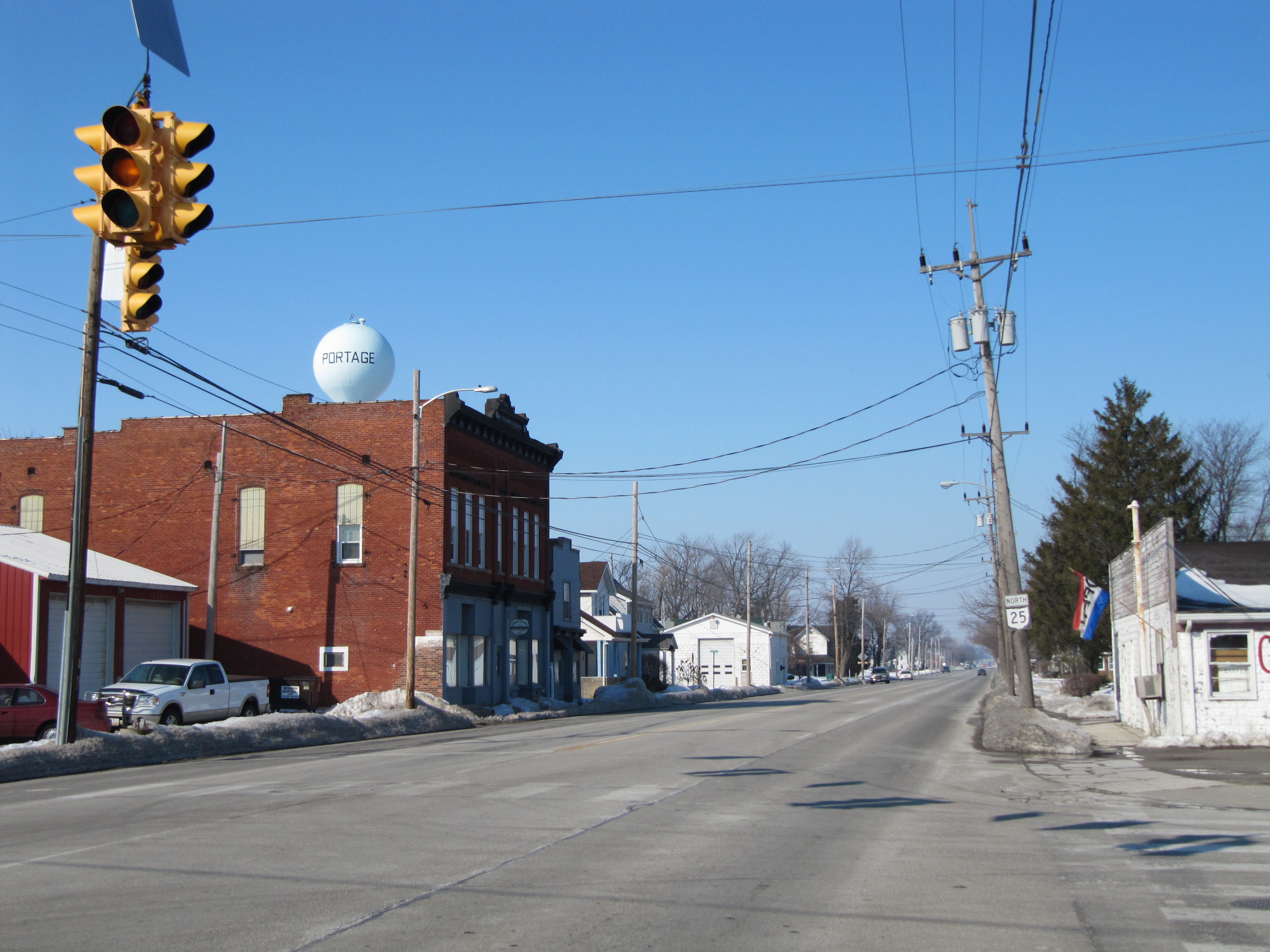
County Location Mile[1] Destinations Notes Wood Henry Township 0.00 I-75Southern terminus at Exit 171 off of I-75, a diamond interchange. Liberty-Portage
Township Line3.55  SR 281
Bowling Green 8.10 US 6Exit 65 off of US 6, a diamond interchange. 9.90  SR 64
SR 64Signalized intersection at Wooster Street. Middleton Township 15.68  SR 582
Signalized intersection at Middleton Pike. Perrysburg 20.83 I-475
US 23Exit 2 off of I-475/US 23, a diamond interchange. 22.32  SR 65 south
Signalized intersection marking southern split of SR 25/SR 65 duplex.
SR 65 joins from the west from Indiana Avenue.22.57 US 20 east
SR 65 northSignalized intersection marking northern split of SR 25/SR 65 duplex and southern split of US 20/SR 25 duplex.
SR 65 departs to the east on Front Street, and US 20 joins from the east from Front Street.Lucas Maumee 23.63 US 20 west
US 24 westSignalized intersection marking northern split of US 20/SR 25 duplex and southwestern split of US 24/SR 25 duplex.
US 20 departs to the north via Conant Street, and US 24 joins from the west on the Anthony Wayne Trail.26.00 US 24 eastSignalized intersection marking northeastern split of US 24/SR 25 duplex.
US 24 departs to the northeast by way of Detroit Avenue.Toledo 30.59  SR 2
SR 2Signalized intersection at Western Avenue. 31.50 I-75Exit 201 off of I-75. 32.18  SR 51
SR 51Signalized intersection at Monroe Street. 32.83  SR 120
Signalized intersection at Cherry Street. 34.77 I-280Northern terminus at Exit 11 off of I-280, a four-ramp interchange featuring diamond ramps on the west side and parclo-A ramps on the east side. 1.000 mi = 1.609 km; 1.000 km = 0.621 mi
Concurrency terminus • Closed/Former • Incomplete access • UnopenedReferences
- ^ a b Mileages retrieved from Technical Services Straight Line Diagrams unless otherwise noted.
- ^ Federal Highway Administration (December 2003) (PDF). National Highway System: Ohio (Map). http://www.fhwa.dot.gov/planning/nhs/maps/oh/oh_Ohio.pdf. Retrieved 2010-10-11.
- ^ Federal Highway Administration (December 2003) (PDF). National Highway System: Toledo, Ohio (Map). http://www.fhwa.dot.gov/planning/nhs/maps/oh/toledo_oh.pdf. Retrieved 2010-10-11.
External links
See also
Categories:- State highways in Ohio
- Dixie Highway
- U.S. Route 25
- Transportation in Wood County, Ohio
- Transportation in Lucas County, Ohio

Wikimedia Foundation. 2010.