- Nadolany
-
Coordinates: 49°31′N 22°05′E / 49.517°N 22.083°E
Nadolany
Nadolany— village — 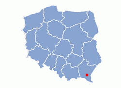
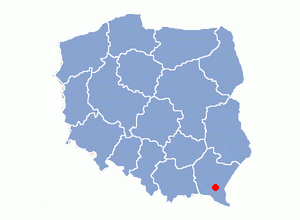
Country Poland Beskids Subcarpathian Voivodship Founded 1446 Area – Total 6.8 km2 (2.6 sq mi) Elevation 270 m (886 ft) Population – Total 600 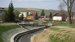 Nadony
Nadolany, supper oppido toto Nowothanecz et suburbis – 1446, Nowothanyecz cum supperiori suburbio - 1486, Wiesz Nadoliany – 1589, Nadolany – 1699, village in East Małopolska in the Lesser Beskid mountains, Bukowsko rural commune, parish in Nowotaniec.
Nadolany is about 10 miles from Sanok in south-west Poland. It is situated below the main watershed at the foot of the Słonne Mountain, and has an elevation of 340 metres. Situated in the Subcarpathian Voivodship (since 1999), previously in Krosno Voivodship (1975-1998) and Sanok district, (10 miles east of Sanok).
Contents
History
Nadolany was founded in 1446 by Bals family. From 966-1018, 1340-1772 (Ruthenian Voivodeship, Sanoker County) and during 1918-1939 Nadolany was part of Poland. While during 1772-1918 it belonged to Austrian empire, later Austrian-Hungarian empire when double monarchy was introduced in Austria. This part of Poland was controlled by Austria for almost 120 years. At that time the area (including west and east of Subcarpathian Voivodship) was known as Galicia since 1772. In 1785 the village lands comprised 6 ½ lans. There were 18 Greek Catholics 340 Roman Catholics and 7 Jews. The rural families are poor, agriculture is rarely profitable and low income makes it difficult for farms to invest in from improvements. Nadolany is too small to have its own post office and its parish church is in the village of Nowotaniec.
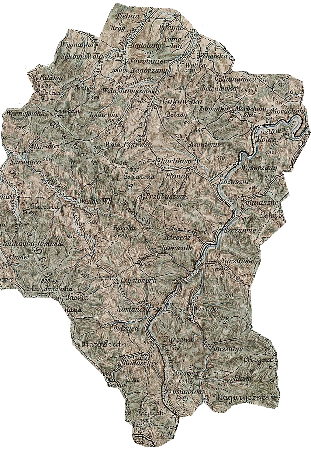
 Gerichts-Bezirk Bukowsko bis 1918, Bukowsko Rural Commune. A 1898 map shows the location of Nadolany (click in it to enlarge)
.
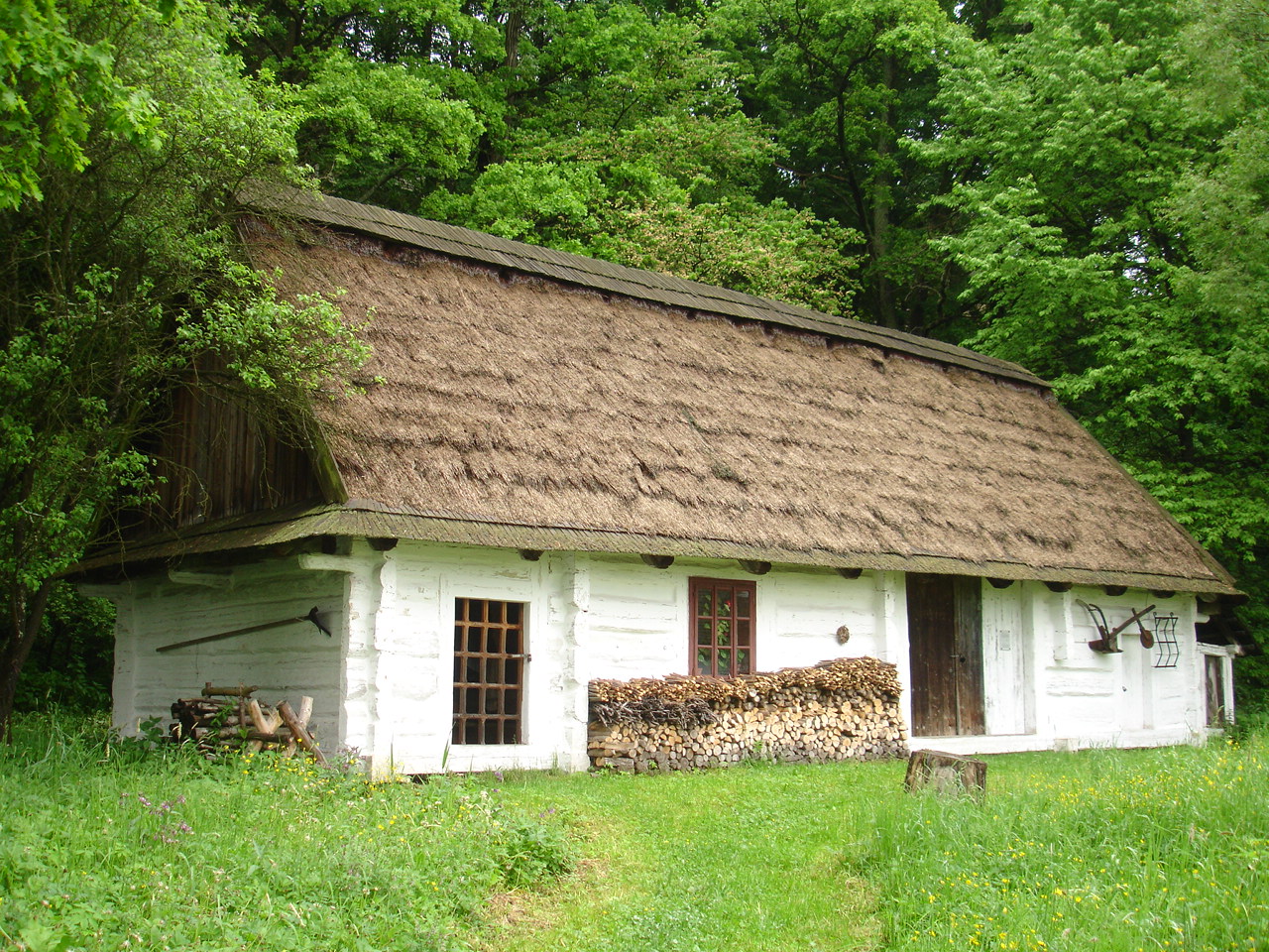
 a hut from Nadolany, 1892
Most popular surnames in the region
- 1766-1830: Banik, Barski, Błażejoski, Błoniarczyk, Burda, Burnard, Burnat, Burnatoski, Cesarczyk, Czapla, Drozd, Dudziński, Folczynski, Fridrich, Gac, Gacek, Gackoski, Gank, Gorzkoski alias Goryl, Jakubowski, Jasiński, Jazowski, Kawa, Koliba, Kopal, Kozimor, Krziwkowicz-Poźniak (nobilis, hares bonorum Nowotaniec), Kucharski, Kuchta, Kuźniarski, Łuczyński, Maczera, Miklasz, Niezabitowski (nobilis), Olexieński, Pawiak, Pjacek, Polny, Popowicz, Raczyński, Ratrański, Rawa, Raychel, Reichel, Sabat, Saganoski, Serezniak, Serwoński, Siedlarski, Silarski, Słysz, Sokalski, Suchodolski, Szatkoski, Sznaydroski, Terlecki, Wałkoski, Wielgos, Wielgosz, Wierzbicki, Wóycik.
Literature
- Adam Fastnacht, Nagórzany [in:] Slownik Historyczno-Geograficzny Ziemi Sanockiej w Średniowieczu (Historic-Geographic Dictionary of the Sanok District in the Middle Ages), Kraków, (II edition 2002), ISBN 83-88385-14-3.
- Jerzy Zuba "W Gminie Bukowsko". Roksana, 2004, ISBN 83-7343-150-0. Translated by Deborah Greenlee. Arlington, TX 76016.
External links
- Geographical Dictionary of the Kingdom of Poland and other Slavic Lands Słownik geograficzny Królestwa Polskiego i innych krajów słowiańskich. Warszawa. 1876. (digital edition)
Seat 
Other villages Bełchówka • Dudyńce • Kamienne • Karlików • Nadolany • Nagórzany • Nowotaniec • Płonna • Pobiedno • Przybyszów • Ratnawica • Tokarnia • Wola Piotrowa • Wola Sękowa • Wolica • ZboiskaCategories:- Villages in Sanok County


Wikimedia Foundation. 2010.