- Coominya, Queensland
-
Coominya
Queensland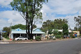
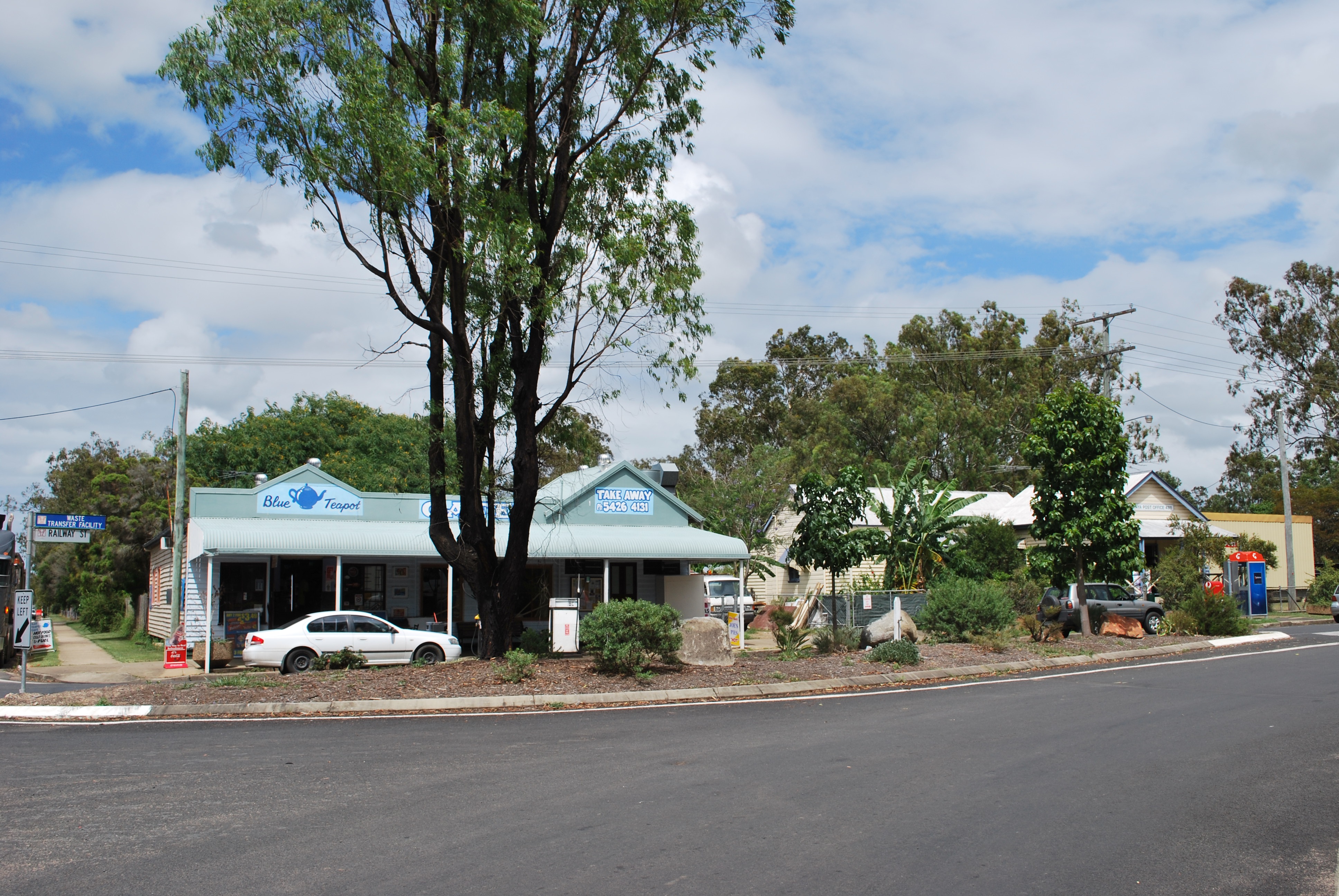
Cafe and post office at Coominya
 Coominya
Population: 467[1] Postcode: 4311 Location: LGA: Somerset Region County: Cavendish Parish: England State District: Nanango
LockyerFederal Division: Dickson, Blair Localities around Coominya: Mount Hallen Esk Wivenhoe Hill Mount Hallen Coominya Patrick Estate Atkinsons Dam Mount Tarampa Clarendon
Rifle RangeCoominya is a town in South East Queensland, Australia. The town is located in the Somerset Region LGA, 83 kilometres (52 mi) west of the state capital, Brisbane and approximately 2 km from Wivenhoe Dam. At the 2006 census, Coominya had a population of 467.[1]
Coominya is known for its fresh produce, scenery and wildlife including lorikeet parrots, koalas, kangaroos .[citation needed]
The major employer is an abattoir.[2] Facilities in Coominya include a post office, a general store, a cafe and a pub.[citation needed] Coominya has its own primary school, but the nearest high school is in Lowood.
Attractions in the Coominya area include the historic Bellevue homestead, moved from Wivenhoe Dam to Coominya.[citation needed]
References
- ^ a b Australian Bureau of Statistics (25 October 2007). "Coominya (L) (Urban Centre/Locality)". 2006 Census QuickStats. http://www.censusdata.abs.gov.au/ABSNavigation/prenav/LocationSearch?collection=Census&period=2006&areacode=UCL314700&producttype=QuickStats&breadcrumb=PL&action=401. Retrieved 2007-10-28.
- ^ "Global Investors Continue to Flock to Queensland". australiatradecoast.com.au. Archived from the original on 2007-09-02. http://web.archive.org/web/20070902150305/http://www.australiatradecoast.com.au/Informationcentre/currentnews/globalinvestorscontinuetoflocktoqueensland.aspx. Retrieved 2007-10-28.
External links
Coordinates: 27°23′S 152°30′E / 27.383°S 152.5°E
Towns and suburbs in the Somerset Region | West Moreton | South East Queensland Banks Creek · Borallon · Caboonbah · Clarendon · Colinton · Coolana · Coominya · Dundas · England Creek · Esk · Fairney View · Fernvale · Glamorgan Vale · Glenfern · Harlin · Hazeldean · Jimna · Kilcoy · Lake Somerset · Lake Wivenhoe · Lark Hill · Linville · Lowood · Minden · Monsildale · Moore · Mount Hallen · Mount Tarampa · Prenzlau · Rifle Range · Tarampa · Toogoolawah · Vernor · Villeneuve · Wanora · Winya · Wivenhoe Pocket · Yabba · Yendina
Categories:- Towns in Queensland
- Queensland geography stubs

Wikimedia Foundation. 2010.