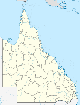
- Minden, Queensland
-
Minden
QueenslandPopulation: 533[1] Postcode: 4311 Location: LGA: Somerset Region State District: Ipswich West Federal Division: Division of Blair, Division of Dickson Localities around Minden: Prenzlau Coolana Lark Hill Hatton Vale Minden Marburg Woolshed Tallegalla Tallegalla Minden is a township and rural locality in Queensland, Australia. The town is located in the Lockyer Valley and is in the Somerset Region Local Government Area, 64 kilometres (40 mi) west of the state capital, Brisbane. At the 2006 census, Minden had a population of 533.[1]
In the pastoral days the town was known as Back Plain. A post Rosewood Scrub was opened there in 1878, but changed to Minden in 1879, after the town of Minden in Westphalia, Germany. During World War I, the name was changed to Frenchton. The name Minden was restored in 1930.[2]
The Warrego Highway goes through Minden.
References
- ^ a b Australian Bureau of Statistics (25 October 2007). "Minden Village (L) (Urban Centre/Locality)". 2006 Census QuickStats. http://www.censusdata.abs.gov.au/ABSNavigation/prenav/LocationSearch?collection=Census&period=2006&areacode=UCL338550&producttype=QuickStats&breadcrumb=PL&action=401. Retrieved 2007-10-27.
- ^ "Other towns". Official website. Shire of Esk. http://www.esk.qld.gov.au/content/TheShire/other_towns_areas.htm#minden. Retrieved 2007-10-27.
External links
Coordinates: 27°33′S 152°32′E / 27.55°S 152.533°E
Towns and suburbs in the Somerset Region | West Moreton | South East Queensland Banks Creek · Borallon · Caboonbah · Clarendon · Colinton · Coolana · Coominya · Dundas · England Creek · Esk · Fairney View · Fernvale · Glamorgan Vale · Glenfern · Harlin · Hazeldean · Jimna · Kilcoy · Lake Somerset · Lake Wivenhoe · Lark Hill · Linville · Lowood · Minden · Monsildale · Moore · Mount Hallen · Mount Tarampa · Prenzlau · Rifle Range · Tarampa · Toogoolawah · Vernor · Villeneuve · Wanora · Winya · Wivenhoe Pocket · Yabba · Yendina
Main Article: Local Government Areas of QueenslandCategories:- Towns in Queensland
- Queensland geography stubs
Wikimedia Foundation. 2010.

