- Nederrijn
-
Nederrijn Lower Rhine River  Nederrijn near Arnhem
Country Netherlands Region Gelderland Source Pannerdens Kanaal - location Huissen, Gelderland, Netherlands 51°56′59″N 5°57′7″E / 51.94972°N 5.95194°E - coordinates 51°56′59″N 5°57′7″E / 51.94972°N 5.95194°E Mouth Lek - location Wijk bij Duurstede, Utrecht, Netherlands 51°58′11″N 5°21′8″E / 51.96972°N 5.35222°E - coordinates 51°58′11″N 5°21′8″E / 51.96972°N 5.35222°E Length 50 km (31 mi) 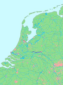 Location of the Nederrijn
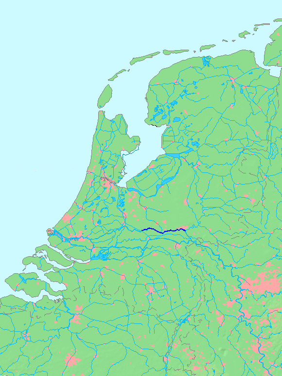
 Course of the Nederrijn
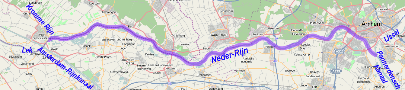
Nederrijn ("Lower Rhine" or "Nether Rhine") is the name of the Dutch part of the River Rhine from the confluence at the town of Angeren of the cut-off Rhine bend of Oude Rijn and the Pannerdens Kanaal (which was dug to form the new connection between the Waal and Nederrijn branches). The city of Arnhem lies on the right (north) bank of the river Nederrijn, just past the point where the River IJssel branches off. The Nederrijn flows on to the city of Wijk bij Duurstede, from where it continues as the River Lek. The once-important but now small Kromme Rijn branch (in Roman times part of the Limes Germanicus and border river of the Roman Empire) carries the name "Rhine" towards the city of Utrecht.
 Edited satellite image of the Rhine-Waal fork showing the beginning of the Nederrijn branch (purple).
Bridges over the Nederrijn are in Arnhem (railway and three road bridges), in Heteren (A50) and Rhenen. Ferries are found near Doorwerth, Wageningen, Opheusden, Elst and Amerongen.
In order to regulate the distribution of drainage between the different branches of the Rhine, several dams have been constructed. If the dams are closed, there is little flow in the Lower Rhine and most of the water drained by the IJssel.
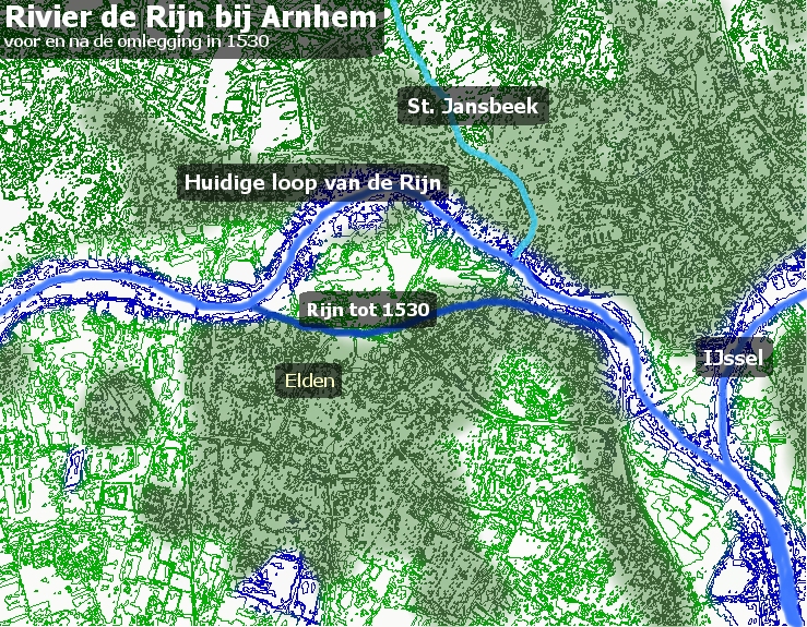
 The old and the new flow of the Rhine near Arnhem
In 1530, the Rhine near Arnhem was moved, a project that was completed in 1536. The city, which originated along the St. Jansbeek ("St. John's Brook'), could develop better now that it was closer the river, and was also more easily defended against the Spanish threat.
-
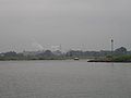
Nederrijn near Renkum
-

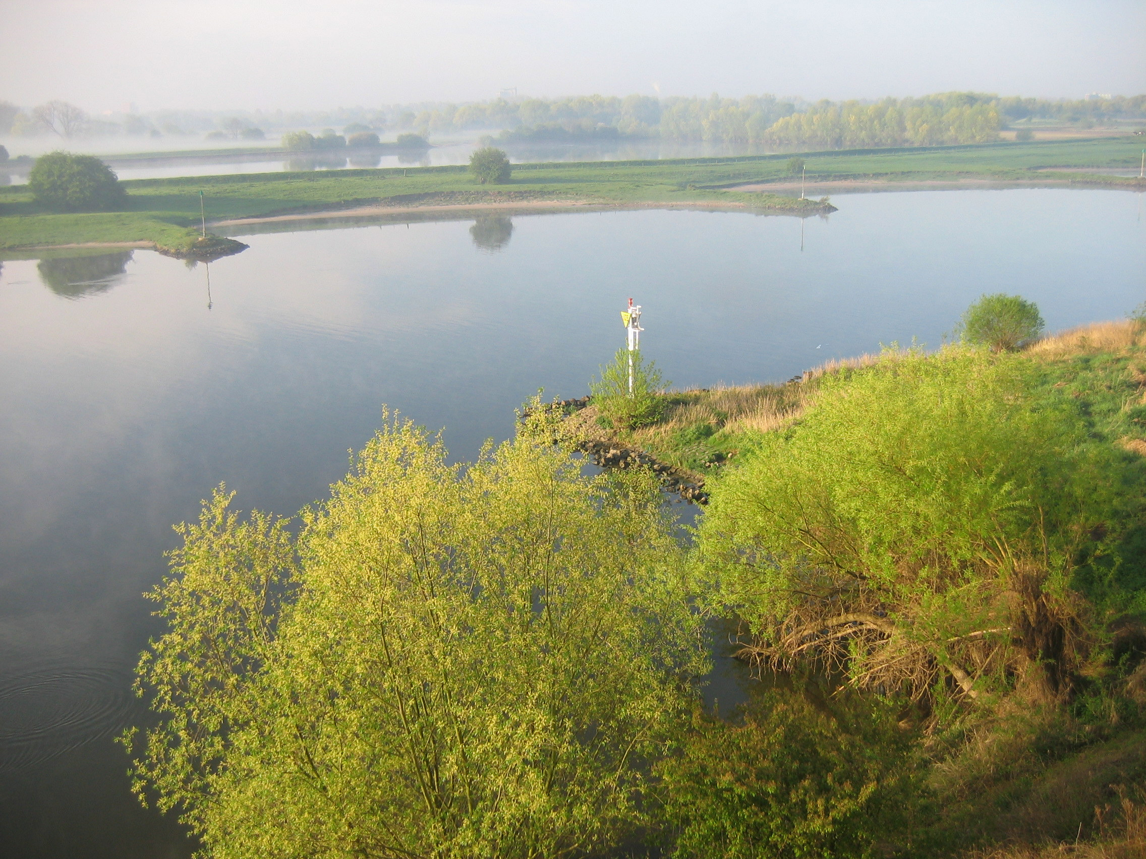
Weir near Amerongen
-
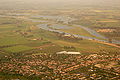
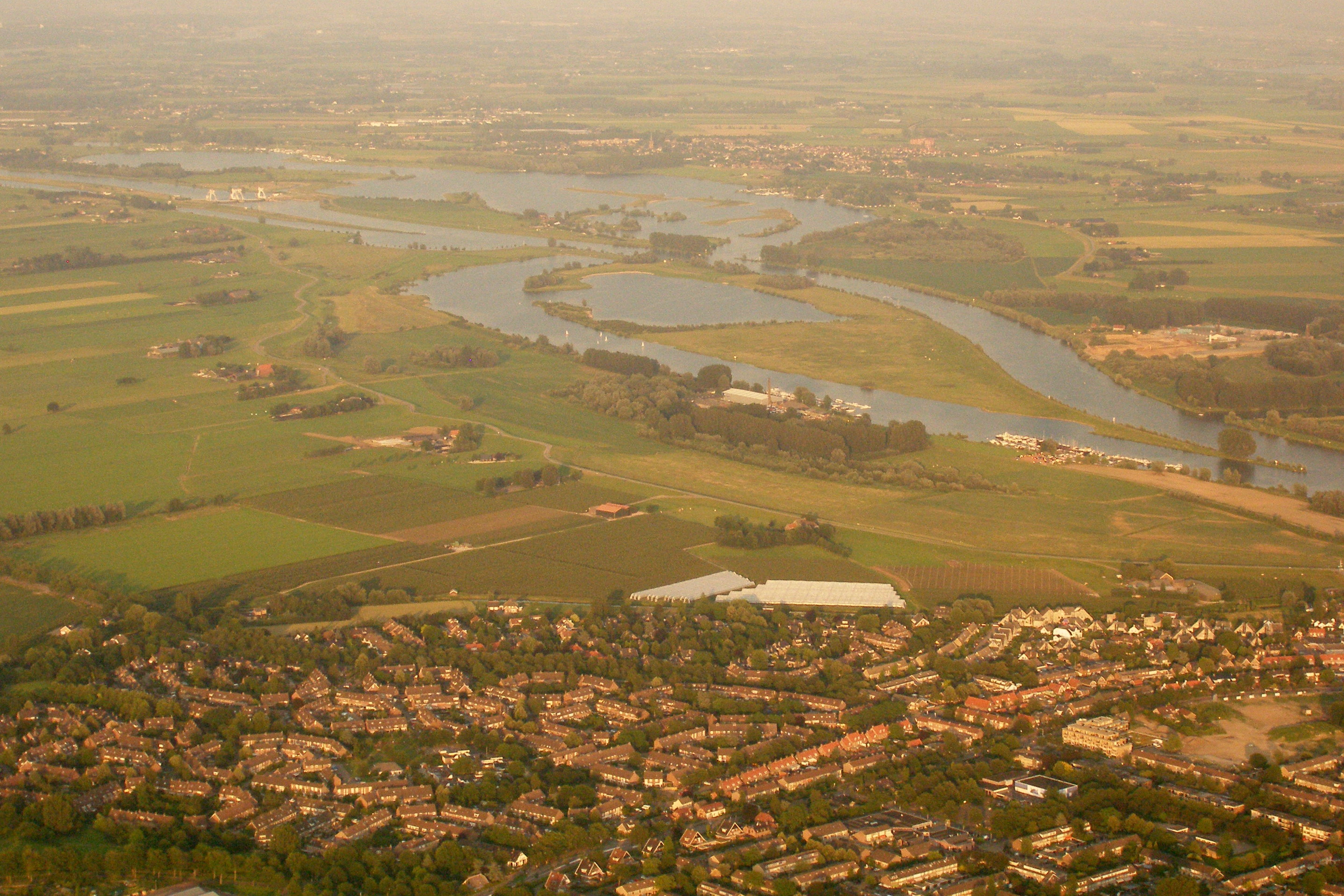
The last stretch of the Nederrijn, near Wijk bij Duurstede
See also
Rhine
Rijn
RhinCurrent distributaries: Waal · Nederrijn · IJssel · Lek · Merwede · Boven Merwede · Nieuwe Merwede · Beneden Merwede · Oude Maas · Dordtsche Kil · Noord · Nieuwe Maas · Het Scheur · Nieuwe Waterweg
Associated canals: Bijlands Kanaal · Pannerdens Kanaal · Amsterdam–Rhine Canal · Vaartse Rijn · Nieuwe Merwede · Nieuwe Waterweg · Scheldt–Rhine Canal · Maas-Waal Canal
Former distributaries: Kromme Rijn · Leidse Rijn · Oude Rijn · Hollandse IJssel · Vecht · Brielse Maas · Spui
Current estuaries: Nieuwe Waterweg · IJsselmeer
Former estuaries: Hollands Diep · Haringvliet · Volkerak · Krammer · Grevelingen · Keeten-Mastgat · OosterscheldeMeuse
MaasCurrent distributaries: Bergse Maas · Amer
Associated canals: Heusden Canal · Bergse Maas · Maas-Waal Canal
Former distributaries: Oude Maasje · Afgedamde Maas · Merwede · Boven Merwede · Beneden Merwede · Oude Maas · Dordtsche Kil · Noord · Nieuwe Maas · Het Scheur · Nieuwe Waterweg
Current estuaries:
Former estuaries: Hollands Diep · Haringvliet · Volkerak · Krammer · Grevelingen · Keeten-Mastgat · OosterscheldeScheldt
Schelde
EscautCurrent distributaries: Western Scheldt
Associated canals: Scheldt–Rhine Canal
Former distributaries: Oosterschelde · Eendracht
Current estuaries: Western Scheldt
Former estuaries: Oosterschelde · Krammer · GrevelingenOther rivers
(directly draining
into the delta)Islands and
PeninsulasTowns Rotterdam · Antwerp · Dordrecht · Bergen-op-Zoom · Schiedam · Vlissingen · Vlaardingen · Middelburg · SpijkenisseOther topics Delta Works · Verdronken Land van Reimerswaal · Verdronken Land van Saeftinghe · St. Elizabeth's flood (1421) · St. Felix's Flood · All Saints' Flood (1570)Categories:- Rivers of the Netherlands
- Rhine–Meuse–Scheldt delta
- Rhine
-


Wikimedia Foundation. 2010.