- Noord-Beveland
-
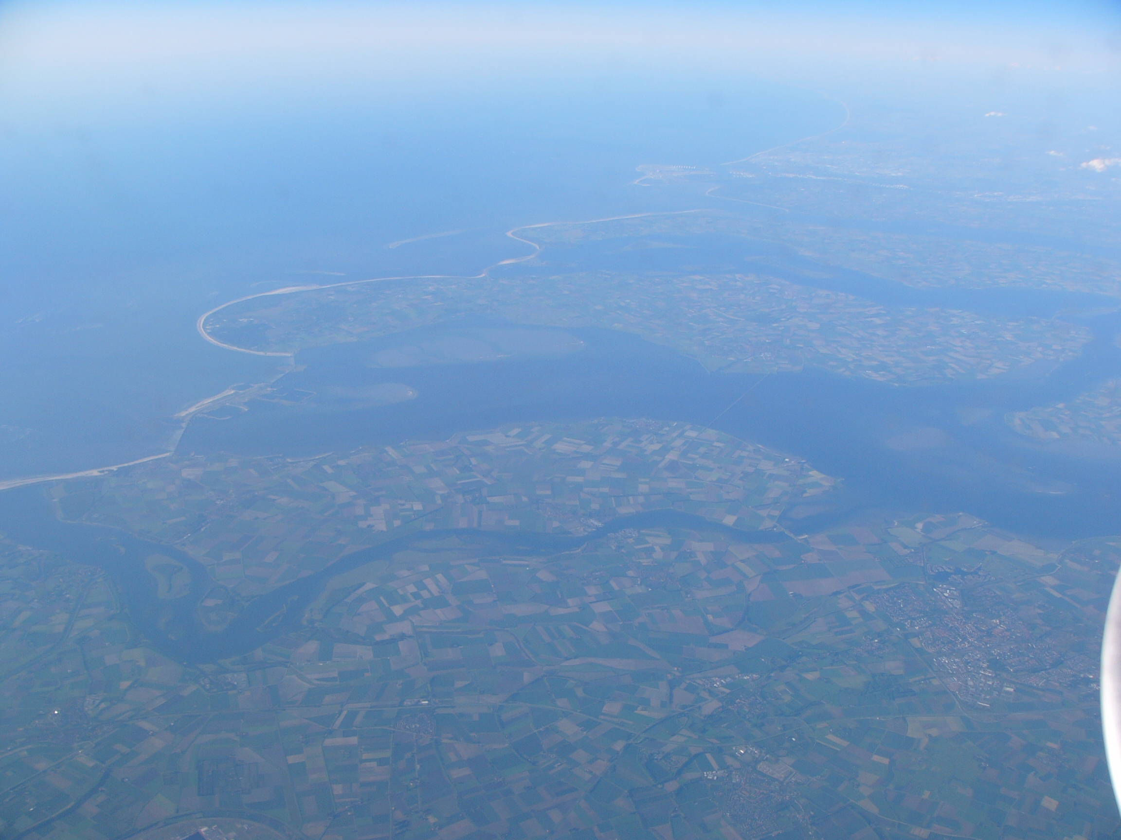
Noord-Beveland — Municipality — Aerial photograph of Noord-Beveland
Flag
Coat of arms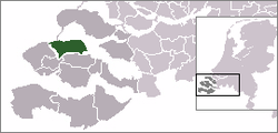
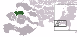
Coordinates: 51°35′N 3°46′E / 51.583°N 3.767°ECoordinates: 51°35′N 3°46′E / 51.583°N 3.767°E Country Netherlands Province Zeeland Area(2006) - Total 120.29 km2 (46.4 sq mi) - Land 86.08 km2 (33.2 sq mi) - Water 34.21 km2 (13.2 sq mi) Population (1 January 2007) - Total 7,272 - Density 84/km2 (217.6/sq mi) Source: CBS, Statline. Time zone CET (UTC+1) - Summer (DST) CEST (UTC+2) Noord-Beveland (
 pronunciation (help·info)) is a municipality in the southwestern Netherlands and a former island, now part of the Walcheren-Zuid-Beveland-Noord-Beveland peninsula. Noord-Beveland is enclosed by the Oosterschelde estuary to the north, and the former straits, now combined lake, of Veerse Meer and Zandkreek to the south. As part of the Delta Works, dams have connected Noord-Beveland to Walcheren and Zuid-Beveland.
Contents
Population centers
(there is no village called Noord-Beveland itself).
Ganuenta
In Roman times, the town of Ganuenta lay north of where the village of Colijnsplaat is now, a location now covered by the water of the Oosterschelde. It was an important centre for trade. Nearby, there was a temple dedicated to the ancient regional sea goddess Nehalennia. A replica of this temple was officially opened in Colijnsplaat in August 2005.[1] (See external links.)
References
- ^ Van der Velde, Koert (August 13, 2005). Zeeuwse godin weer thuis. Trouw (Dutch newspaper), p. 8–9.
External links
- Show location and some basic data
- Official website (in Dutch)
- Map
- Official site of the Nehelennia temple replica (in Dutch)
Borsele · Goes · Hulst · Kapelle · Middelburg · Noord-Beveland · Reimserwaal · Schouwen-Duiveland · Sluis · Terneuzen · Tholen · Veere · Vlissingen

See also: Netherlands · Provinces · Municipalities Categories:- Municipalities of Zeeland
- Islands of the Netherlands
- Regions of the Netherlands
- Rhine–Meuse–Scheldt delta


Wikimedia Foundation. 2010.