- New York State Route 145
-
NYS Route 145
Route information Maintained by NYSDOT Length: 46.99 mi[2] (75.62 km) Existed: 1930[1] – present Major junctions South end:  NY 23 in Cairo
 NY 81 in Rensselaerville
 NY 30 in Middleburgh
 I-88 near Cobleskill
North end:  US 20 in Sharon
Location Counties: Greene, Albany, Schoharie Highway system Numbered highways in New York
Interstate • U.S. • N.Y. (former) • Reference • County←  NY 144
NY 146  →
→New York State Route 145 (NY 145) is a state highway in eastern New York in the United States. The highway extends for 46.99 miles (75.62 km) from NY 23 in the Greene County town of Cairo to U.S. Route 20 in the Schoharie County town of Sharon. Along the way, NY 145 intersects NY 30 in Middleburgh and Interstate 88 east of Cobleskill. NY 145 is a two-lane highway its entire length, with a passing lane on hills leaving Middleburgh in both directions. The route follows parts of the Susquehannah Turnpike from Cairo through East Durham and west.
Contents
Route description
Greene and Albany Counties
NY 145 begins at a junction with NY 23 northwest of the hamlet of Cairo in the Greene County town of the same name. NY 145 follows a northwesterly course, roughly paralleling Catskill Creek as it heads through the area. Due to its proximity to the creek, the route passes by many resort-type businesses (including camping and swimming) both in the town of Cairo and in the adjacent town of Durham. Some light industry is also present, primarily in the vicinity of the hamlets of East Durham and Durham.
The route quietly crosses into Albany County 12.5 miles (20.1 km) northwest of its southern end at NY 23. Despite the change in county, the surroundings of the route remain largely unchanged—rural and scarcely developed. NY 145 is in Albany County for just 5 miles (8 km) and enters only one town, Rensselaerville. As in Greene County, additional camping and souvenir vendors are present along the route due to its location on the banks of the Catskill Creek. Within the county, NY 145 meets the western terminus of NY 81 in the hamlet of Cooksburg 0.5 miles (0.8 km) north of the Greene–Albany county line and serves the hamlet of Preston Hollow.
Schoharie County
In the Schoharie County town of Broome, NY 145 continues its northwesterly course for an additional two miles (3 km), then bends to be more northward to pass by the hamlets of Livingstonville and Franklinton. At Franklinton, NY 145 passes by Vlaie Pond, the northwestern end of Catskill Creek. Approaching the Schoharie Valley, NY 145 heads downhill along a lengthy stretch that includes a passing lane for southbound traffic. At the bottom of the hill, NY 145 enters Middleburgh as Main Street. In Middleburgh, there is a 0.1-mile (0.2 km) long wrong-way concurrency with NY 30 on the bridge carrying both routes over Schoharie Creek.

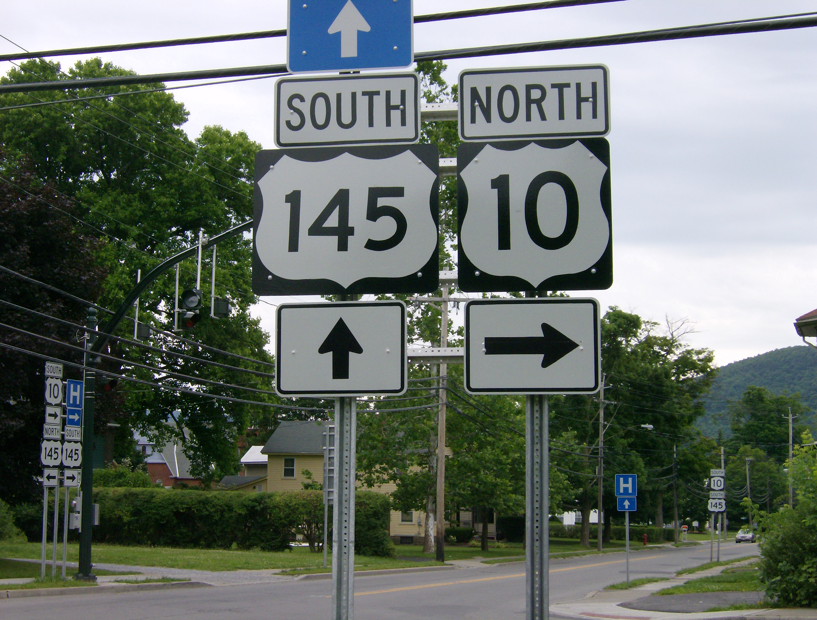
After crossing the creek, NY 145 leaves NY 30 and parallels it briefly to the west, then heads more northwesterly again. Leaving the Schoharie Valley, a passing lane is present northbound. Upon entering the town of Cobleskill, the route levels off and curves to the west. It serves the small community of East Cobleskill before meeting I-88 at exit 22, then NY 7 0.2 miles (0.3 km) later east of Cobleskill and west of Howe Caverns, a regional tourist attraction. NY 145 then joins NY 7 westward to Cobleskill as East Main Street. In downtown, the two routes meet NY 10. NY 10 joins NY 7 for a concurrency westward, while NY 145 leaves NY 7 and joins NY 10 as North Grand Street for a 0.23-mile (0.37 km) long concurrency within the village. Leaving Cobleskill, NY 145 passes through the hamlet of Lawyersville before terminating at U.S. Route 20 in the hamlet of Sharon.
History
In 1911, the New York State Legislature created Route 5-b, an unsigned legislative route extending from Cairo in Greene County to Cooksburg in Albany County via Durham. One year later, the legislature created Route 38-a, which began in Cobleskill and passed through Sharon before ending in Sharon Springs.[3][4] On March 1, 1921, Route 5-b was eliminated while Route 38-a became part of Route 39, which continued west along what is now US 20 from Sharon Springs to the town of Madison.[5] None of former Route 5-b nor the portion of Route 39 south of Sharon received a signed designation when the first set of posted routes in New York were assigned in 1924.[6]
In the 1930 renumbering of state highways in New York, all of former legislative Route 5-b was designated as NY 145 while the Cobleskill–Sharon segment of former legislative Route 39 was assigned NY 164.[1][7] At the same time, what is now NY 145 from Cooksburg to Middleburgh was designated as part of NY 81.[8] The section of modern NY 145 between Middleburgh and NY 7 east of Cobleskill was assigned NY 433 ca. 1937.[9][10] By the following year, NY 145 was extended northward to Middleburgh while NY 81 was truncated southward to Cooksburg.[10][11] NY 145 was extended again in both directions ca. 1940. On its north end, it was altered to continue northwest through Cobleskill to Sharon, supplanting both NY 164 and NY 433 and briefly overlapping with NY 7 and NY 30 in Cobleskill and Middleburgh, respectively. On its south end, it was modified to overlap with NY 23 eastward to Catskill on what is now County Route 23B (CR 23B).[12][13]
NY 145 originally entered the hamlet of Cairo on what is now CR 84 and met NY 23 in the center of the community at what is now CR 23B.[1] Both NY 23 and NY 145 were realigned in the 1960s to follow a new arterial between Cairo and the Rip Van Winkle Bridge in Catskill. The first segment of the highway, a northerly bypass of the hamlet of Cairo, opened ca. 1961.[14][15] The remainder of the arterial was completed in the mid-1960s.[16][17] On January 1, 1970, NY 145 was truncated back to its current southern terminus in Cairo, eliminating the overlap between NY 23 and NY 145.[18]
Major intersections
County Location Mile[2] Destinations Notes Greene Town of Cairo 0.00 NY 23Albany Rensselaerville 13.07 NY 81Hamlet of Cooksburg Schoharie Village of Middleburgh 28.75 NY 30 northEastern terminus of NY 30 / NY 145 overlap 28.86 NY 30 southWestern terminus of NY 30 / NY 145 overlap Town of Cobleskill 36.31 I-88Exit 22 (I-88) 36.51  NY 7 east
Eastern terminus of NY 7 / NY 145 overlap Village of Cobleskill 39.88  NY 7 west / NY 10 south
Western terminus of NY 7 / NY 145 overlap; southern terminus of NY 10 / NY 145 overlap 40.10 NY 10 northNorthern terminus of NY 10 / NY 145 overlap Sharon 46.99 US 20Hamlet of Sharon 1.000 mi = 1.609 km; 1.000 km = 0.621 mi References
- ^ a b c Standard Oil Company of New York (1930). Road Map of New York (Map). Cartography by General Drafting.
- ^ a b "2008 Traffic Volume Report for New York State" (PDF). New York State Department of Transportation. June 16, 2009. p. 171. https://www.nysdot.gov/divisions/engineering/technical-services/hds-respository/NYSDOT%20TVR%202008%20by%20Route.pdf. Retrieved February 1, 2010.
- ^ New York State Legislature (1918). "Tables of Laws and Codes Amended or Repealed". Laws of the State of New York passed at the One Hundred and Forty-First Session of the Legislature. Albany, New York: J. B. Lyon Company. pp. 72, 73. http://books.google.com/books?id=ffqwAAAAIAAJ&pg=RA1-PA72. Retrieved May 27, 2010.
- ^ New York State Department of Highways (1920). Report of the State Commissioner of Highways. Albany, New York: J. B. Lyon Company. p. 508. http://books.google.com/books?id=Sj4CAAAAYAAJ&pg=PA508. Retrieved May 27, 2010.
- ^ New York State Legislature (1921). "Tables of Laws and Codes Amended or Repealed". Laws of the State of New York passed at the One Hundred and Forty-Fourth Session of the Legislature. Albany, New York: J. B. Lyon Company. pp. 42, 48–49, 68–69. http://books.google.com/books?id=6pE4AAAAIAAJ&pg=PA42. Retrieved May 27, 2010.
- ^ "New York's Main Highways Designated by Numbers". The New York Times: p. XX9. December 21, 1924.
- ^ Standard Oil Company of New York (1929). New York in Soconyland (Map). Cartography by General Drafting.
- ^ Dickinson, Leon A. (January 12, 1930). "New Signs for State Highways". The New York Times: p. 136.
- ^ Standard Oil Company (1936). New York (Map). Cartography by General Drafting.
- ^ a b Standard Oil Company (1937). New York (Map). Cartography by General Drafting.
- ^ Thibodeau, William A. (1938). The ALA Green Book (1938–39 ed.). Automobile Legal Association.
- ^ Standard Oil Company (1939). New York (Map). Cartography by General Drafting.
- ^ Gulf Oil Company (1940). New York Info-Map (Map). Cartography by Rand McNally and Company.
- ^ Gulf (1960). New York and New Jersey Tourgide Map (Map). Cartography by Rand McNally and Company.
- ^ Sunoco (1961). New York and Metropolitan New York (Map). Cartography by H.M. Gousha Company (1961–62 ed.).
- ^ Mobil (1965). New York (Map). Cartography by Rand McNally and Company.
- ^ H.M. Gousha Company (1967). Gousha Road Atlas (southern New England) (Map). http://www.broermapsonline.org/members/NorthAmerica/UnitedStates/NewEngland/gousha_ra_1967_005.html. Retrieved May 27, 2010.
- ^ State of New York Department of Transportation (January 1, 1970) (PDF). Official Description of Touring Routes in New York State. http://www.greaternyroads.info/pdfs/state70.pdf. Retrieved May 27, 2010.
External links
Categories:- State highways in New York
- Transportation in Greene County, New York
- Transportation in Albany County, New York
- Transportation in Schoharie County, New York

Wikimedia Foundation. 2010.