- Yushan (mountain)
-
Yushan (Jade Mountain) Chinese 玉山 Transcriptions Hakka - Romanization Ngiu̍k-Sân Mandarin - Hanyu Pinyin Yùshān Min - Hokkien POJ Gio̍k-san Yushan 
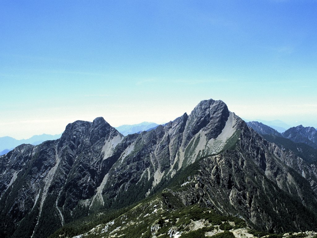
Yushan from the North Peak.Elevation 3,952 m (12,966 ft) Prominence 3,952 m (12,966 ft) Ranked 27th Listing Country high point
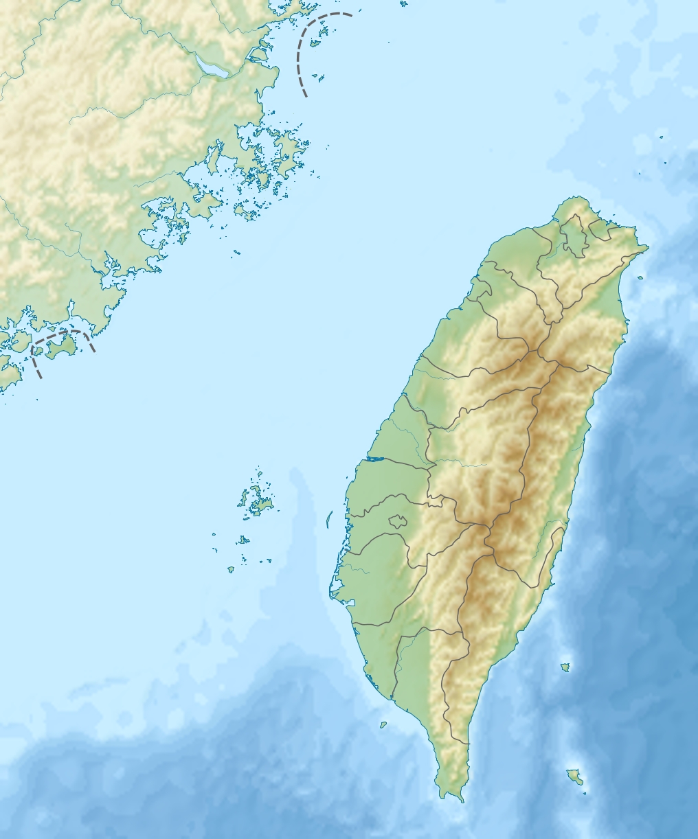
UltraLocation Xinyi, Nantou County,
 Yushan
TaiwanCoordinates 23°28′12″N 120°57′26.16″E / 23.47°N 120.9572667°ECoordinates: 23°28′12″N 120°57′26.16″E / 23.47°N 120.9572667°E Climbing First ascent 1898 by German explorer K. Stopel Easiest route maintained trail, snow/ice climb during some winter months Yushan (Chinese: 玉山; pinyin: Yùshān; literally ‘Jade Mountain’; it can also be referred to as Mount Yu) in Taiwan is the highest mountain in East Asia and the fourth highest mountain on an island. In the past, Yushan was known among English-speaking expats and missionaries as Mt. Morrison, thought to have been named in honor of the 19th century missionary Robert Morrison. (More about this in the History section.) Today, the mountain is referred to as Yushan or Jade Mountain.
In the winter, Yushan is often capped with thick snow which makes the entire peak shine like stainless jade, hence its name. On July 21, 2009. Yushan was elected one of 28 finalists in the New7Wonders of Nature voting campaign. It even had held the top position in the “Mountains and Volcanos” category on the list of first round voting of the 77 nominees ended on July 7, 2009.
Yushan and surrounding mountains belong to Yushan Range, which is part of Yushan National Park in Taiwan. Yushan National Park is Taiwan's largest, highest and least accessible national park. It contains the largest tract of wilderness remaining in Taiwan and is also valued for its pristine forests and faunal diversity, including many endemic species.
The highest point of Yushan range, Yushan, is 3,952 metres (12,966 ft) above sea level. Yushan was once in the ocean and raised to the current height because the Eurasian Plate slid under the neighboring Philippine Sea Plate.
The ocean waters off Taiwan's east coast are deep; in fact, submarine slopes plunge down to the Pacific Ocean at a grade of 1:10 and the ocean reaches a depth of more than 4,000 metres (13,100 ft) about 50 kilometres (30 mi) from the coast.[1] From this perspective, Yushan is even more magnificent if you consider it rises 8,000 metres (26,200 ft) steeply from the nearby ocean floor in such a short distance — est 100 kilometres (60 mi).
Contents
Geography and geology
The island of Taiwan is situated at the intersection of two tectonic plates — the Eurasian Plate and the Philippine Sea Plate. Even as “recently” as the late Paleozoic (some 250 million years ago), the land here was still but a sedimentary seabed layered with silt and sand. As the two plates began pressing against each other, the land buckled, bent, and created the landscape — 165 mountains higher than 3,000 m (9,800 ft) above sea level on a small island (38th in the world).
Yushan is also notable in containing the highest point on the Tropic of Cancer and the only point on that circle of latitude where there is any evidence of Quaternary glaciation[2]. As recently as seventeen thousand years ago, permanent ice caps existed throughout Taiwan’s highest mountains and extended owing to the wet climate down to 2,800 metres (9,190 ft); whereas currently the nearest glaciers to the Tropic of Cancer are in Mexico on the Iztaccíhuatl volcano.
Hiking
-

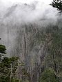
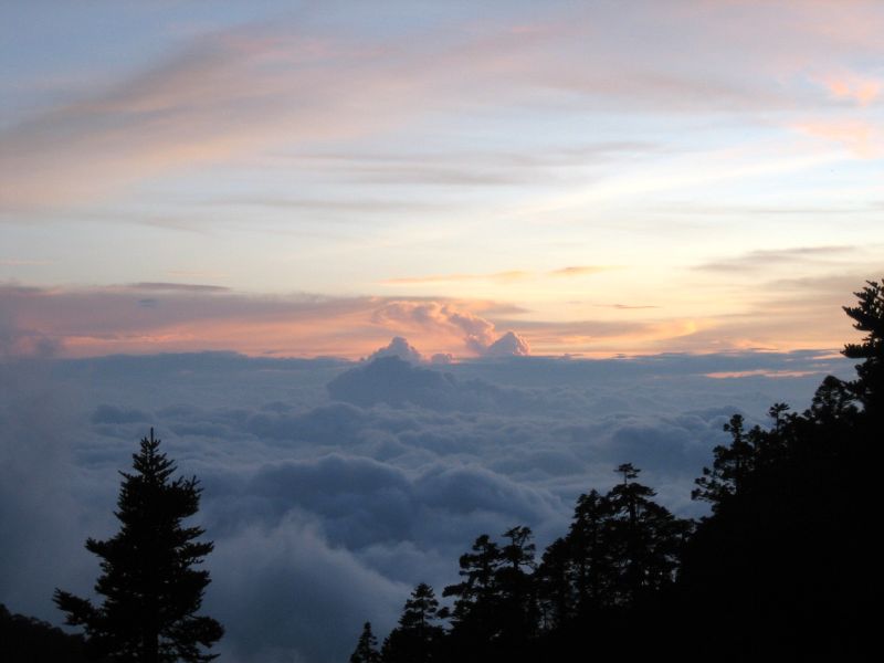
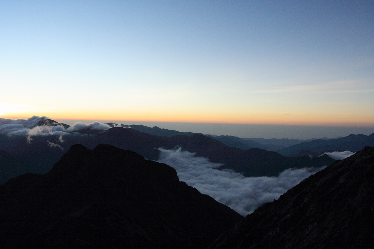
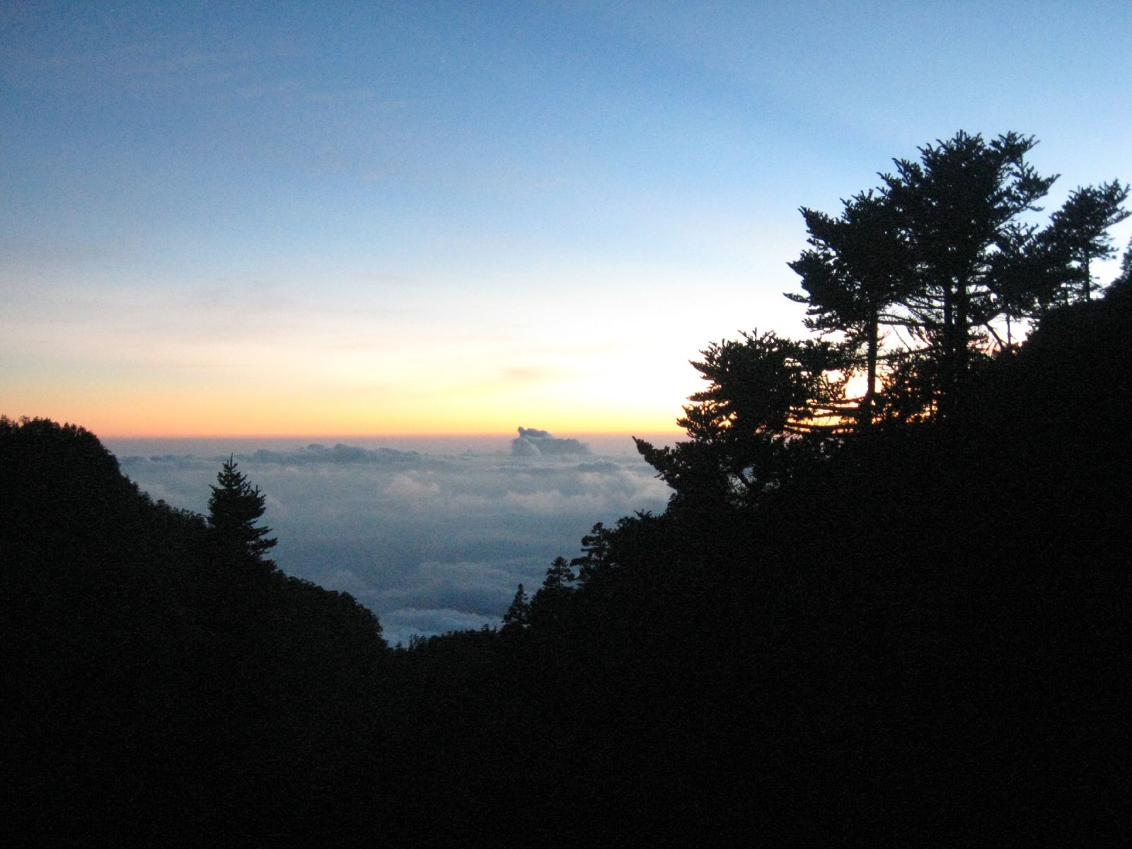
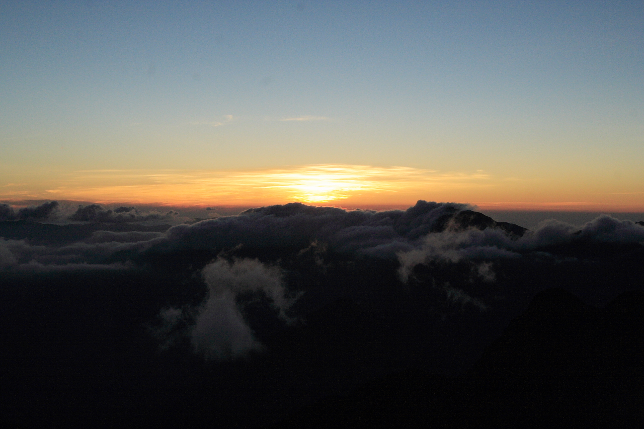
Sea of Clouds at Yushan
-

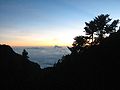
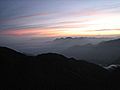
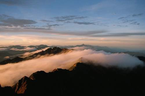
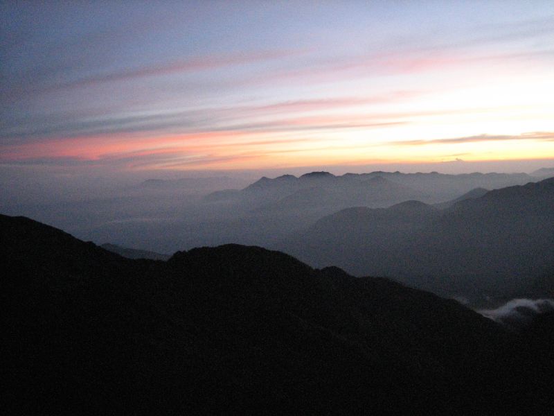
Sunrise at Yushan
-

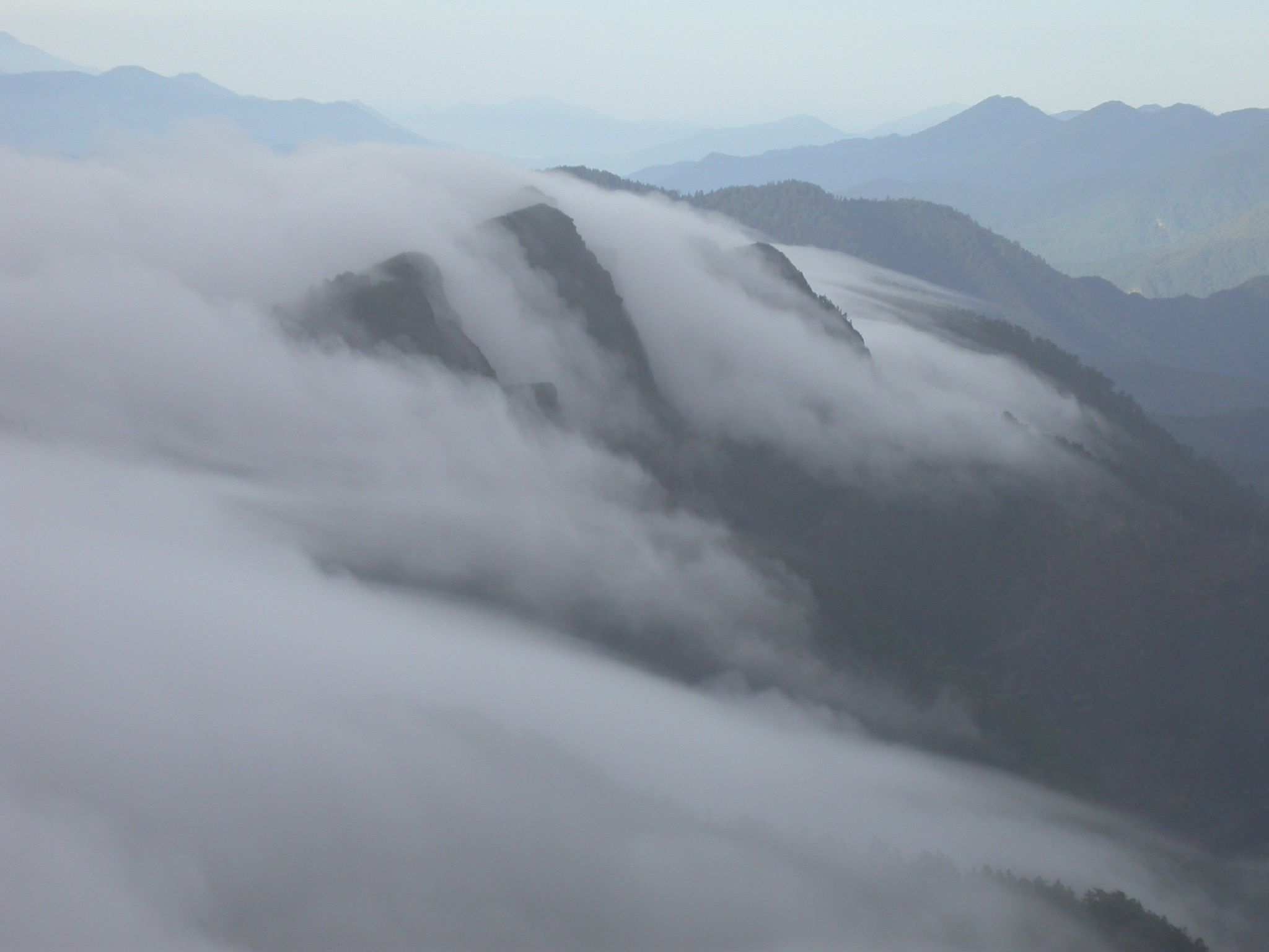
Sea of Clouds on Yushan Trail
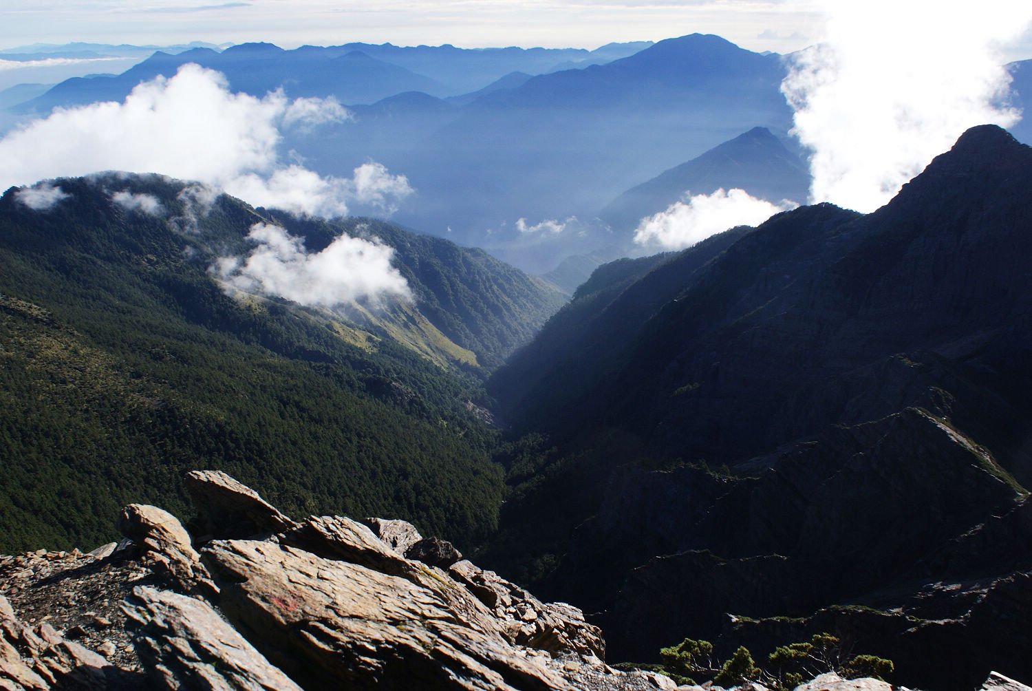
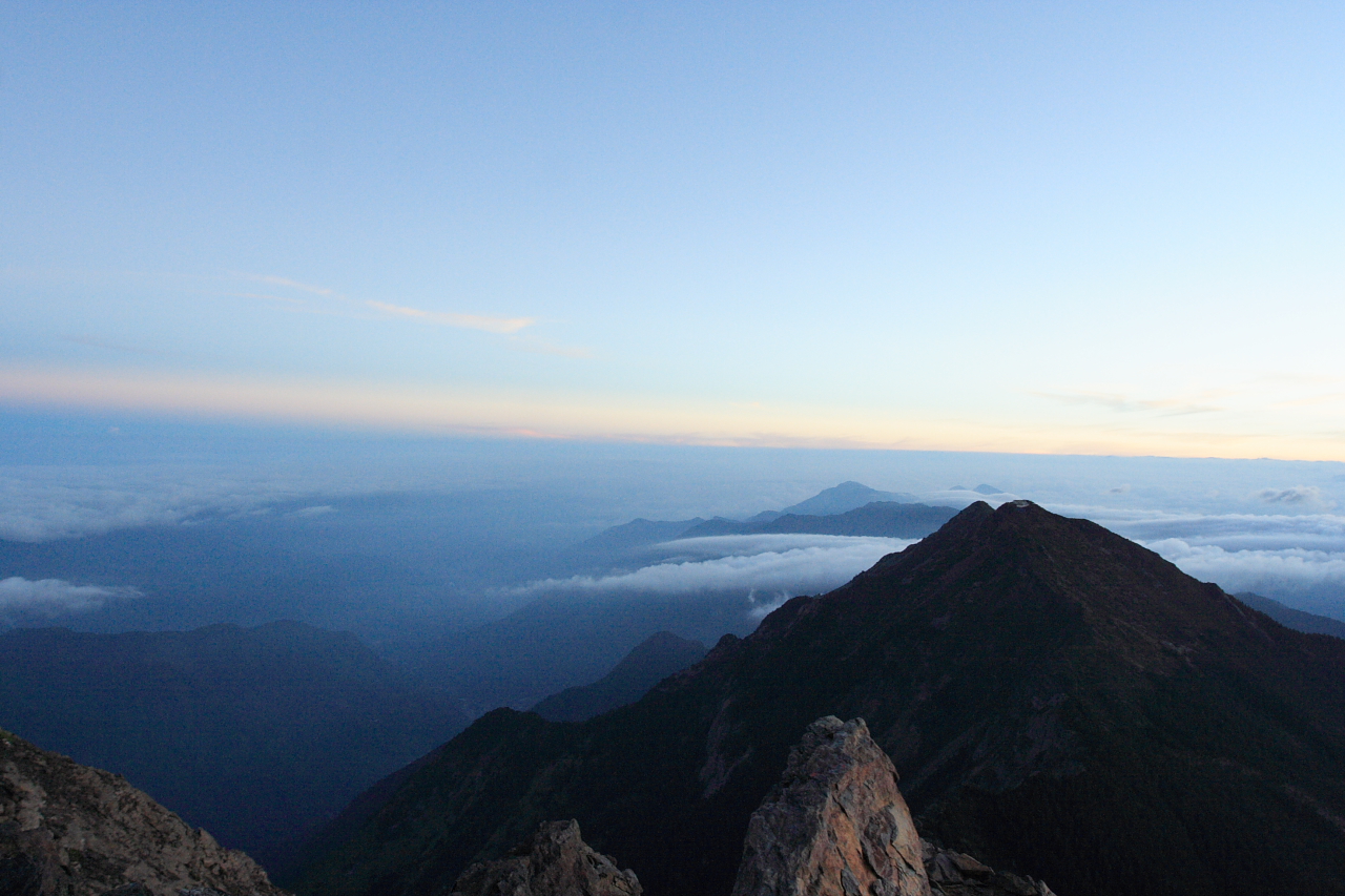
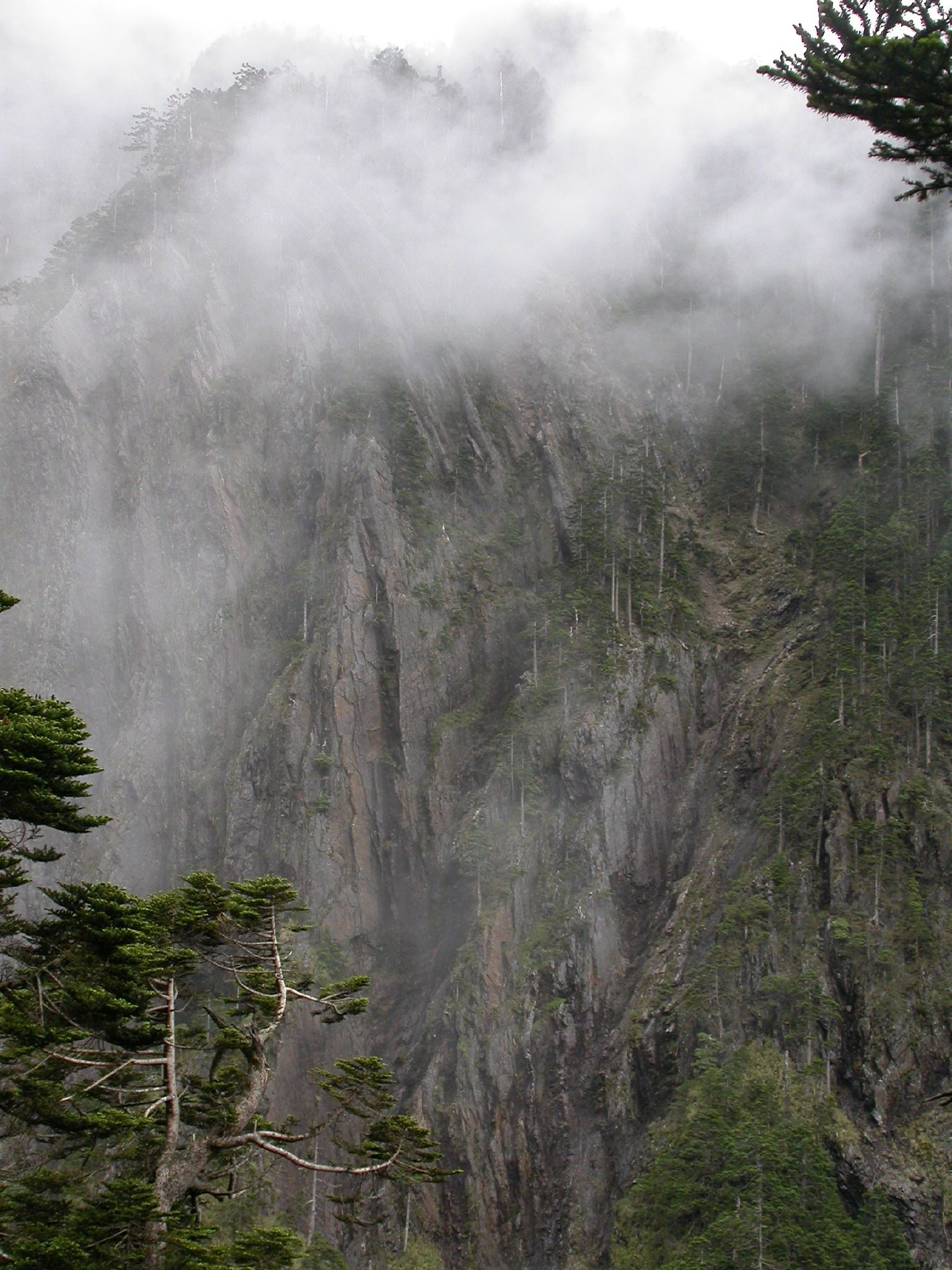
With panoramic views, overlapping mountains, and deep, plunging valleys, Yushan National Park is well known for its scenery, sunrises, sunsets, geological features, and views of the clouds from above. Sea of clouds (Traditional Chinese: 雲海, Pinyin: yúnhǎi) often fill the valleys. Indisputably, Yushan itself is the focal point of the Park.
Yushan is one of the favorites among Taiwanese mountain climbers. International peak baggers often combine a trip to Yushan along with trips to Gunung Kinabalu and Fuji to form an "Asian Trilogy" hiking experience.[3]
Yushan has five main peaks with the Main Peak being the most popular:
- Yuhshan Main Peak (玉山主峰), 3,952 m (12,966 ft)
- Yuhshan Eastern Peak (玉山東峰), 3,869 m (12,694 ft) — 4.5 kilometres (2.8 mi) from Main Peak
- Yuhshan Northern Peak (玉山北峰), 3,858 m (12,657 ft) — 3.5 kilometres (2.2 mi) from Wind Tunnel (風口)
- Yuhshan Southern Peak (玉山南峰), 3,844 m (12,612 ft) — 3.1 kilometres (1.9 mi) from Paiyun Lodge (排雲山莊)
- Yuhshan Western Peak (玉山西峰), 3,467 m (11,375 ft) — 4 kilometres (2.5 mi) from Paiyun Lodge (排雲山莊)
East, west, north, and south peaks surround the main summit. The east peak rises to a height of 3,869 m (12,694 ft) and is considered one of shale. The relatively accessible west side of Yushan is covered with thick forests. The north peak is part of a long, gently-rising ridge; this peak consists of two high points that resemble a camel's humps. The North Peak is also home to Taiwan's highest permanently occupied building, the Yushan Weather Station, where the occasional visitors are given a warm welcome.
Flora[4] and fauna
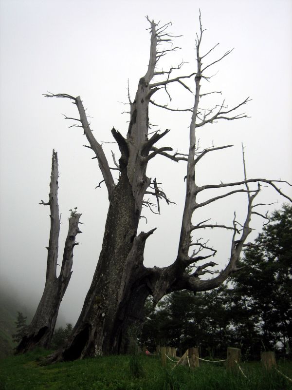
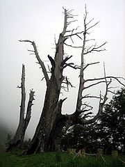 "Husband and Wife Trees", or "Fuci Trees" (夫妻樹). These are two surviving Chamaecyparis formosensis trees from a 1963 forest fire
Taiwan, with the tropic of Cancer across the center of the island, has a climate between tropical and subtropical. The average temperature is 22 °C (72 °F). Here low elevation areas support evergreen broadleaved forests. As elevation increases, evergreen broadleaved forests are gradually replaced by deciduous forests and coniferous forests. At mountain peaks with alpine conditions, only mosses, liverworts and occasionally grasses can be found on the ground.
All of the above vegetation variations can be seen in the Yushan area from low foothills to high summits with an elevation difference of 3.6 kilometres (2.2 mi). Because this wide climatic and vegetation variations, this environment nurtures the richest and most diversified wildlife in Taiwan. Preliminary investigations reveal that there are 130 species of birds, 28 species of mammals, 17 species of reptiles, 12 species of amphibians and 186 species of butterflies in Yushan National Park. In fact, Yushan is nicknamed "the ark" by academics who see it as a repository of Taiwan's rare species. It is almost an encyclopedia of Taiwan's ecological systems, a geological museum and an important habitat of one-third of Taiwan's endemic species, such as:
- Formosan Serow (台灣長鬃山羊)
- Reeves's Muntjac (台灣山羌)
- Formosan Black Bear (台灣黑熊)
- Formosan Blue Magpie (台灣藍鵲)
- Formosan Rock Macaque (台灣獼猴)
- Hemimyzon taitungensis (台東間爬岩鰍) and Varicorhinus tamusuiensis (Oshima) — Two unique fish species living in the Lekuleku River area.
History
Jade Mountain was first observed by westerners in 1857. W. Morrison, captain of the American freighter SS Alexander, sighted this mountain while departing from Anping Harbor, in what is now Anping, Tainan. He recorded this sighting in his naval log, and the mountain gained the name Mount Morrison in western literature.
In 1900, after the annexation of Taiwan by the Japanese, two Japanese anthropologists, Torii Ryūzō and Mori Ushinosuke, became the first people to have been recorded ascending the mountain. They gave the mountain the name Niitakayama (新高山) or Mount Niitaka, literally the "New High Mountain", because it was even higher than Mount Fuji in Japan (was Empire of Japan) by 176 metres (577 ft). In 1937, Niitakayama was designated part of the Niitaka (New Highest) Arisan National Park (新高阿里山国立公園).
Under its Japanese name, the mountain was used as the secret code to signal the carrier fleet of the Imperial Japanese Navy to begin its attack against Pearl Harbor. The code was Niitakayama Nobore (literally "Climb the New High Mountain").[5]
In 1966 a large bronze statue of Yu Youren was placed at the summit. The statue remained there until 1996 when it was cut down and thrown into a ravine by Taiwan independence activists.[6]
In recent years, Yushan has played an important role in a new focus on Taiwan's identity. Because its iconic status, Yushan has been chosen to be the background of the newly issued NT $1,000 dollar bills on 20 July 2005.[7] Similarly, a newly found asteroid by Lulin Observatory of National Central University was named after Yushan on December 28, 2007.[8]
Climate
Based on the data shown on Central Weather Bureau of Taiwan,[9] the figure on the right shows the monthly mean precipitation (unit: mm) of Yushan from 1971 to 2000.
Average annual rainfall in the Yushan area is about 3,600 mm. It rains an average of 140 days per year, mostly between May and August. From May until the first part of June is plum rain season or monsoon season. Taiwan's typhoon season roughly falls between July and September. The peak month is in August. Overall speaking, summers are wet and winters relatively dry in Yushan.
Yushan has an alpine climate (Köppen ET). From September to April, the Yushan area is often covered with frost. However, due to strong wind, the frost level is not high, except in the valleys. At elevations above 2,000 meters, there is snow. At elevations of 3,000 meters or more, there are four consecutive months of snow accumulation. The first snow may appear in October and completely melts by May. Snow falls 24.3 days per year on average on Yushan, which is less than in the previous ten years. At lower elevations, snow may fall only 0.6 days per year. Snow mostly falls in January and February.
Climate data for Yushan (1971-2000) Month Jan Feb Mar Apr May Jun Jul Aug Sep Oct Nov Dec Year Average high °C (°F) 2.9
(37.2)2.7
(36.9)5.0
(41.0)7.6
(45.7)9.8
(49.6)11.6
(52.9)13.2
(55.8)12.7
(54.9)12.6
(54.7)12.5
(54.5)9.8
(49.6)5.8
(42.4)8.9 Average low °C (°F) −5
(23)−4.1
(24.6)−2.1
(28.2)0.3
(32.5)2.5
(36.5)3.9
(39.0)4.2
(39.6)4.1
(39.4)3.5
(38.3)2.4
(36.3)0.2
(32.4)−2.8
(27.0)0.6 Precipitation mm (inches) 116.0
(4.567)148.9
(5.862)138.9
(5.469)248.9
(9.799)454.2
(17.882)513.3
(20.209)361.5
(14.232)499.4
(19.661)257.2
(10.126)152.7
(6.012)77.8
(3.063)85.6
(3.37)3,054.4
(120.252)% humidity 68.8 78.3 80.0 81.6 84.6 83.4 79.0 83.6 80.1 73.8 67.6 65.9 77.2 Sunshine hours 191.7 139.4 158.5 143.8 130.5 137.8 181.1 155.0 164.9 198.8 200.8 198.8 2,001.1 Source: Central Weather Bureau Gallery
-

Laonung River at the northeastern side of Yushan.
-

Sea of Clouds on Yushan Trail.
-

Sea of Clouds on Yushan Trail.
-
Sea of Clouds on Yushan Trail.
-
Sea of Clouds near Tatajia Anbu on Yushan Trail.
-
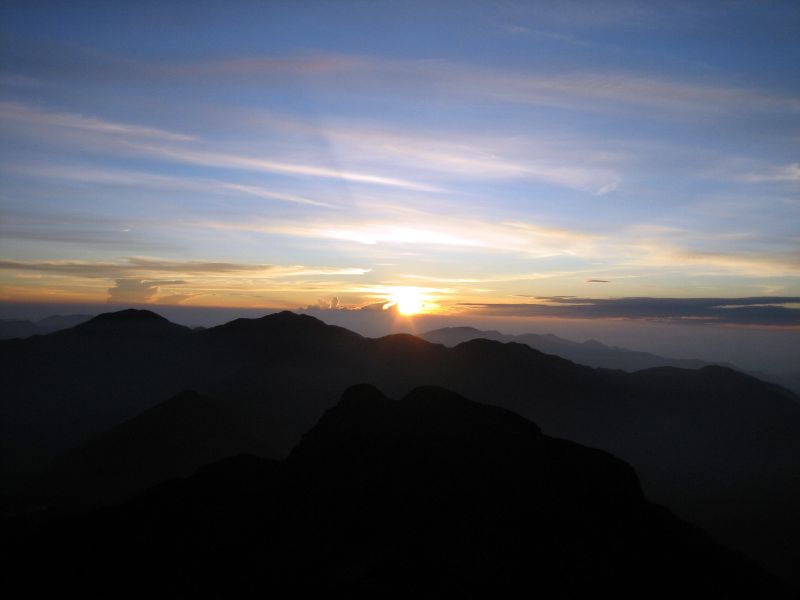
Sun Rise at Yushan.
-

Sun Rise at Yushan.
-

Sun Rise at Yushan.
-

Sun Rise at Yushan.
-

On Top of the World.
-
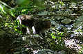
Formosan Rock Macaque found on Yushan Trail.
-

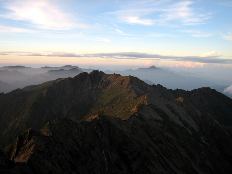
Yushan Range, eastern side view.
-
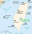
The map of Location of Yushan National Park.
-
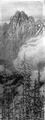
Painting of Yushan by Nasu Masaki (那須雅城).
-
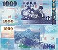
Yushan on back of NT 1000 Note
See also
- Taiwan
- Yushan Range
- Yushan National Park
- List of mountains in Taiwan
- List of islands by highest point
Sources
- ^ Central Geological Survey, MOEA.
- ^ Late Pleistocene to Early Holocen Glacial Landforms of Yushan Area, Taiwan
- ^ Yushan
- ^ Flora of China
- ^ MacDonald, Scot (October 1962). Evolution of Aircraft Carriers — the Japanese Developments. Naval Historical Center, Washington Navy Yard, DC. http://www.history.navy.mil/download/car-7.pdf. Retrieved 2006-08-10.
- ^ http://www.yaojuichung.com/pdf/en/recovering_the_mainland_and_liberating_taiwan.pdf
- ^ Bulletin Board of Central Bank of the Republic of China.
- ^ Yushan Asteroid.
- ^ Central Weather Bureau of Taiwan
External links
Categories:- Mountains of Taiwan
-


Wikimedia Foundation. 2010.