Mistaya River

Mistaya River

Mistaya River is a short river in western Alberta, Canada. It flows through the Canadian Rockies, and a section of the Icefield Parkway was built along its course.

Mistaya River originates in Peyto Lake, a glacial lake of typical blue colour (due to rock flour). Mistaya flows north-west, receiving the waters of creeks such as Delta, Silverhorn, Cirque, Noyes, ChephrenTotem, Epaulette, Bison, Kaufmann and Sarback. A series of elongated lakes are formed along the river: Mistaya Lake and Waterfowl Lakes.

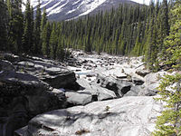
Mistaya River before the falls

Mistaya merges into the North Saskatchewan River at Saskatchewan River Crossing.

From its headwaters of Peyto Creek, Mistaya River has a total length of 38 km.
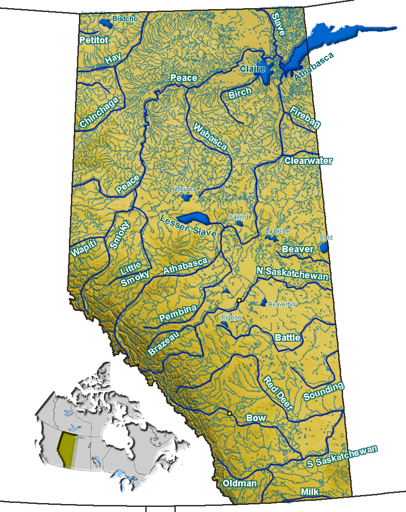
Coordinates: 51°58′03″N 116°43′23″W / 51.9675°N 116.72306°W / 51.9675; -116.72306


Wikimedia Foundation. 2010.

Игры ⚽ Нужен реферат?

Look at other dictionaries:

  • Mistaya Canyon — A picture of Mistaya Canyon with a peak in the background. Mistaya Canyon is a canyon in the western part of the Alberta province of Canada. It is formed by the Mistaya River. Tourists who are visiting Banff National Park often visit it because… …   Wikipedia

  • Mistaya Mountain — Mistaya Mountain …   Wikipedia

  • North Saskatchewan River — Coordinates: 53°14′07″N 105°04′58″W / 53.23528°N 105.08278°W / 53.23528; 105.08278 …   Wikipedia

  • Saskatchewan River Crossing, Alberta — Superimpose base = AB towns highways.png base width = 200px base caption = Alberta roads and towns float = Dot yellow.svg float width = 10px float caption = Saskatchewan River Crossing x = 51 y = 188 Saskatchewan River Crossing in Alberta… …   Wikipedia

  • Banff National Park — Infobox protected area | name = Banff National Park iucn category = II caption = Location of Banff National Park in Canada locator x = 52 locator y = 168 location = Alberta, Canada nearest city = Calgary, Alberta lat degrees = 51 lat minutes = 10 …   Wikipedia

  • Peyto Lake — Infobox lake lake name = Peyto Lake image lake = Peyto Lake Banff NP Canada.jpg caption lake = Peyto Lake seen from Bow Summit image bathymetry = caption bathymetry = location = Banff National Park, Alberta, Canada coords =… …   Wikipedia

  • Mount Sarbach — vom Mistaya Canyon aus gesehen Höhe 3.155  …   Deutsch Wikipedia

  • Mount Sarbach — seen from Mistaya Canyon Elevation 3,155 m (10,351 ft)  …   Wikipedia

  • Mount Chephren — and Waterfowl Lake seen from the Icefield Parkway Elevation 3,307 m (1 …   Wikipedia

  • List of rivers of Alberta — Alberta s rivers flow towards three different bodies of water, the Arctic Ocean, the Hudson Bay and the Gulf of Mexico. Alberta is located immediately east of the continental divide, so no rivers from Alberta reach the Pacific Ocean.List of… …   Wikipedia

Share the article and excerpts

Direct link
Do a right-click on the link above
and select “Copy Link”