- Door County Cherryland Airport
-
Door County Cherryland Airport 
IATA: SUE – ICAO: KSUE Summary Airport type Public Operator Door County Location 2 miles (3.2 km) W Elevation AMSL 220.7 ft / 67 m Coordinates 44°50′37″N 87°25′17″W / 44.84361°N 87.42139°WCoordinates: 44°50′37″N 87°25′17″W / 44.84361°N 87.42139°W Runways Direction Length Surface ft m 2/20 4,600 1,402 Asphalt 10/28 3,200 975 Asphalt 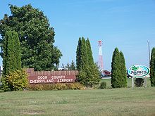 Sign
Sign
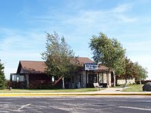 Terminal
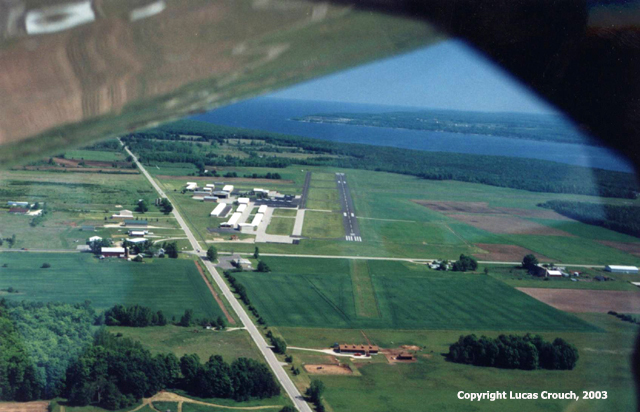
Door County Cherryland Airport (IATA: SUE, ICAO: KSUE) is a public airport located in Sturgeon Bay, Wisconsin, 2 miles west of the city. It has two runways and is used for corporate and general aviation.
Contents
Facilities
Door County Cherryland Airport has one FBO: MaxAir Incorporated. The airport has two runways:
- Runway 2/20: 4,600 x 75 ft. (1,402 x 23 m.), Surface: Asphalt.
- Runway 10/28: 3,200 x 75 ft. (975 x 23 m.), Surface: Asphalt.
Airfield Information
Instrument Approach Procedures [1]:
Local frequences are as follows[1]:
Organizations
- Door County Cherryland Airport is also home to the Door County Civil Air Patrol Senior Squadron (WI-197).
- EAA Chapter 630 Peninsula Flyers, is based at the airfield.
References
External links
- Wisconsin DOT, Aerial Diagram
- FAA Airfield Information
- EAA Chapter 630 Peninsula Flyers
- Resources for this airport:
- AirNav airport information for KSUE
- ASN accident history for SUE
- FlightAware airport information and live flight tracker
- NOAA/NWS latest weather observations
- SkyVector aeronautical chart for KSUE
- FAA current SUE delay information
Aviation in Wisconsin Primary Airports 
Airlines Aviation related Lists of airports By IATA code - A
- B
- C
- D
- E
- F
- G
- H
- I
- J
- K
- L
- M
- N
- O
- P
- Q
- R
- S
- T
- U
- V
- W
- X
- Y
- Z
By ICAO code - A
- B
- C
- D
- E
- F
- G
- H
- I
- J
- K
- L
- M
- N
- O
- P
- Q
- R
- S
- T
- U
- V
- W
- X
- Y
- Z
By traffic Other lists - Airports by country
- Airport eponyms
- Airline destinations
- Military installations
Lists relating to aviation General Aircraft (manufacturers) · Aircraft engines (manufacturers) · Airlines (defunct) · Airports · Civil authorities · Museums · Registration prefixes · Rotorcraft (manufacturers) · TimelineMilitary Accidents/incidents Records Categories:- Airports in Wisconsin
- Buildings and structures in Door County, Wisconsin
- Midwestern United States airport stubs
- Wisconsin building and structure stubs


Wikimedia Foundation. 2010.