- Central Wisconsin Airport
Infobox Airport
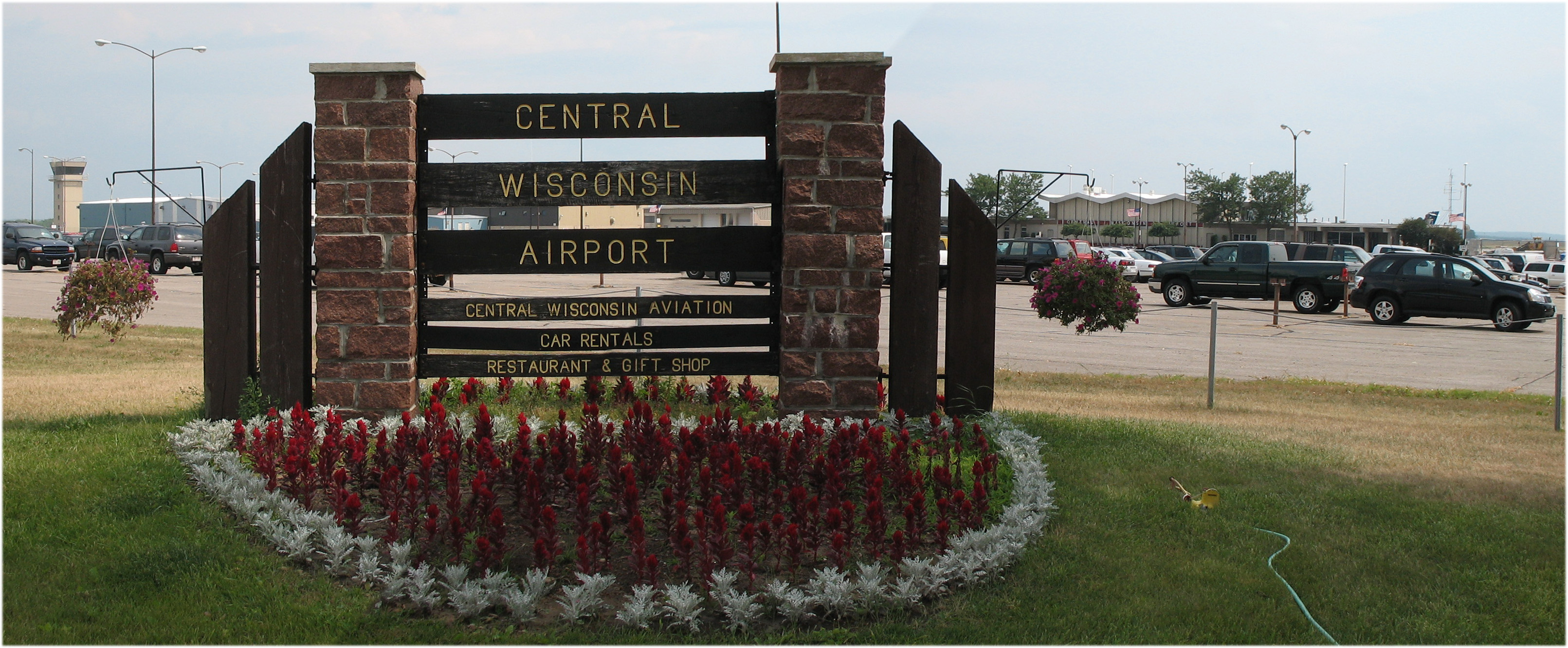
name = Central Wisconsin Airport
|250px
caption =
IATA = CWA
ICAO = KCWA
FAA = CWA
type = Public
owner = Marathon and Portage Counties
operator = Central Wisconsin Joint Airport Board
location =Mosinee, Wisconsin
elevation-f = 1,277
elevation-m = 389
coordinates = coord|44|46|39|N|089|40|00|W|type:airport|display=inline,title
website = [http://www.fly-cwa.org/ www.fly-cwa.org]
r1-number = 8/26
r1-length-f = 7,645
r1-length-m = 2,330
r1-surface =Concrete
r2-number = 17/35
r2-length-f = 6,500
r2-length-m = 1,981
r2-surface = Concrete
stat-year = 2006
stat1-header = Aircraft operations
stat1-data = 29,151
stat2-header = Based aircraft
stat2-data = 50
footnotes = Source:Federal Aviation Administration FAA-airport|ID=CWA|use=PU|own=PU|site=27406.31*A, effective 2007-10-25]Central Wisconsin Airport airport codes|CWA|KCWA|CWA, referred to as "C-Way", is a public
airport located convert|5|mi|km|0 southeast of thecentral business district of Mosinee, in Marathon County,Wisconsin ,United States . It is owned by Marathon County and Portage County.The airport serves the cities of
Stevens Point ,Wausau , Marshfield,Wisconsin Rapids , tourism communities in northern Wisconsin, and the smaller exurbs of Hatley, Bevent, Rosholt, and Five Corners. It is convert|10|mi|km|0 south-southeast ofGranite Peak Ski Area , located inRib Mountain State Park .Facilities and aircraft
Central Wisconsin Airport covers an area of 1,800
acre s (728 ha) which contains twoconcrete pavedrunway s: 8/26 measuring 7,645 x 150 ft (2,330 x 46 m) and 17/35 measuring 6,500 x 150 ft (1,981 x 46 m). For the 12-month period ending August 31, 2006, the airport had 29,151 aircraft operations, an average of 79 per day: 58% scheduled commercial, 39%general aviation and 2% military.Fact|date=March 2008In 1997, the terminal was modernized with five new gates, and the highway access has been reconstructed. A 2005 master plan calls for relocation of the main terminal to a central location on the airport site. The final design can be viewed here: [http://www.fly-cwa.org/TAMPDoc.pdf]
CWA has T-Hangars for lease or an individual or corporation can construct their own
hangar .fact|date=July 2008Terminal
Central Wisconsin Airport consists of one Central Concourse.
Airlines and destinations
*
American Airlines
** American Eagle (Chicago-O'Hare)
*Northwest Airlines Gates 3 & 5
**Northwest Airlink operated byMesaba Airlines (Detroit, Minneapolis/St. Paul)
**Northwest Airlink operated byPinnacle Airlines (Detroit, Minneapolis/St. Paul)
*United Airlines Gate 4
**United Express operated bySkyWest Airlines (Chicago-O'Hare)
**United Express operated byMesa Airlines (Chicago-O'Hare)Cargo
*
DHL
*Freight Runners
*UPSee also
*
List of airports in Wisconsin References
External links
* [http://www.fly-cwa.org/ Central Wisconsin Airport] , official site
*FAA-diagram|05674
*US-airport|CWA
*WikiMapia|44.7776|-89.6668|14|Aerial photo
Wikimedia Foundation. 2010.