- Ospringe
-
Coordinates: 51°18′40″N 0°52′23″E / 51.311°N 0.873°E
Ospringe 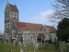
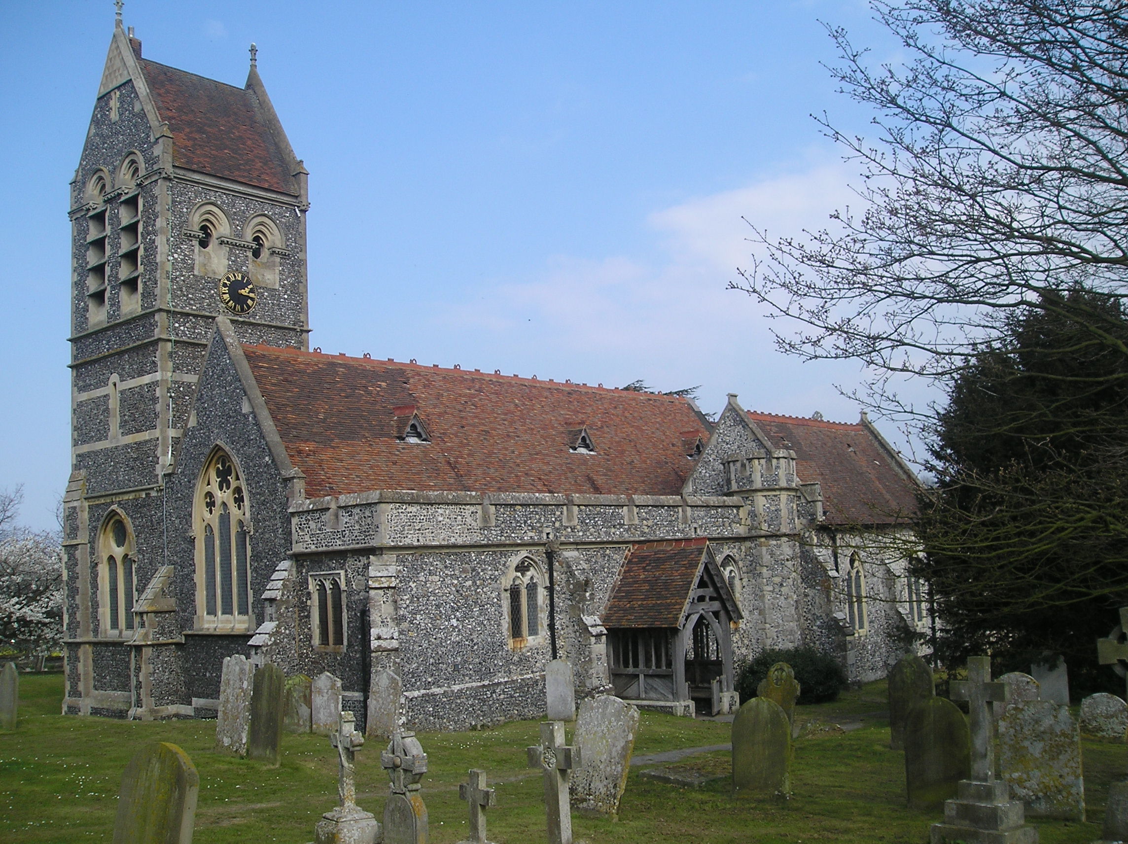
Ospringe Church
 Ospringe
Ospringe shown within KentPopulation 715 (2001) OS grid reference TR001604 Parish Ospringe District Swale Shire county Kent Region South East Country England Sovereign state United Kingdom Post town FAVERSHAM Postcode district ME13 Dialling code 01795 Police Kent Fire Kent Ambulance South East Coast EU Parliament South East England UK Parliament Faversham and Mid Kent List of places: UK • England • Kent Ospringe is a village and civil parish in the English county of Kent. It has a population of 715.[1] Located south of Faversham, Ospringe forms part of the Borough of Swale. It lies south of the Roman road Watling Street (nowadays the A2 road) and remains of substantial Roman buildings have been found to its north west; the ruins of the abandoned Stone Chapel lie nearby.
See also
References
External links
Towns and villages in the Borough of Swale in Kent, England 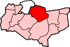 Bapchild · Badlesmere · Bay View · Bobbing · Borden · Boughton Street · Boughton under Blean · Bredgar · Brogdale · Buckland · Chestnut Street · Conyer · Dargate · Davington · Denstroude · Doddington · Dunkirk · Eastchurch · Eastling · Elmley · Faversham · Faversham Without · Goodnestone · Graveney · Halfway Houses · Hartlip · Harty · Heart's Delight, Swale · Hernhill · Highsted · Iwade · Kemsley · Keycol · Kingsdown · Leaveland · Leysdown-on-Sea · Lower Halstow · Luddenham · Lynsted · Milstead · Milton Regis · Minster · Mockbeggar · Murston · Newington · Newnham · Norton · Oad Street · Oare · Ospringe · Oversland · Painters Forstal · Queenborough · Rodmersham Green · Rushenden · Selling · Sheldwich · Shellness · Sheerness · Sittingbourne · Stalisfield Green · Teynham · Throwley · Tonge · Tunstall · Upchurch · Uplees · Warden · Waterham · WhitehillCategories:
- Swale
- Villages in Kent
- Civil parishes in Kent
- Kent geography stubs


Wikimedia Foundation. 2010.