- Dalnerechensk
-
Dalnerechensk (English)
Дальнереченск (Russian)- Town[citation needed] - 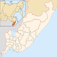
 Dalnerechensk
Coordinates: 45°56′N 133°43′E / 45.933°N 133.717°ECoordinates: 45°56′N 133°43′E / 45.933°N 133.717°E 
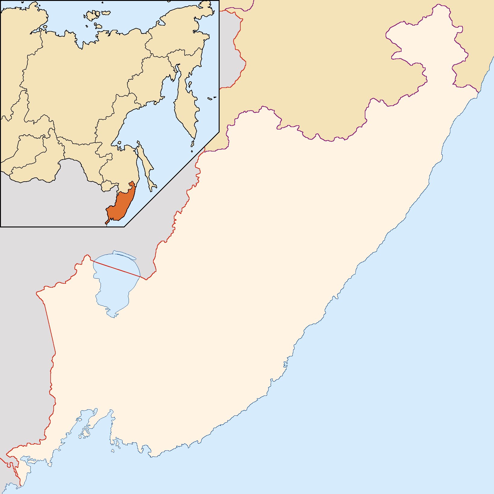
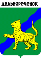
Coat of arms of Dalnerechensky Urban Okrug Administrative status Country Russia Federal subject Primorsky Krai Administrative center of Dalnerechensky District[citation needed] Municipal status Urban okrug Dalnerechensky Urban Okrug[citation needed] Administrative center of Dalnerechensky Urban Okrug[citation needed] Statistics Population (2002 Census) 30,092 inhabitants[1] Time zone VLAST (UTC+11:00)[2] Founded 1894[citation needed] Previous names Iman[citation needed] Postal code(s) 692130[citation needed] Dialing code(s) +7 42356[citation needed] Dalnerechensk (Russian: Дальнере́ченск) is a town in Primorsky Krai, Russia. Population: 30,092 (2002 Census);[1] 33,596 (1989 Census).[3]
The town was originally known as Iman (Иман; Korean: 이만, Iman; Chinese: 伊曼, Yiman), but its Russian name was changed to Dalnerechensk (literally, a place at a far away river) in 1972, as part of a general campaign of asserting Soviet sovereignty in the region. In Chinese, the name "Yiman" continues to be used.
Contents
Geography
The town is located on the left bank of the Bolshaya Ussurka River (known until 1972 as the Iman River), near its mouth in the Ussuri River which here forms the border between Russia and China. The Chinese border is about 5 kilometers (3.1 mi) from the town center. The town is also situated on the Malinovka River, which joins the Bolshaya Ussurska within town limits.
One can see the spurs of the Sikhote-Alin ranges from any point of the town in clear weather. Salskaya Hill, an extinct volcano on the banks of the Bolshaya Ussurka is also situated close to the town. Closeness of the taiga and the mineral springs, Lastochka and Shmakovka, numerous lakes and rivers, an abundance of sunny days and a quiet measured life of the town make Dalnerechensk a tourist attraction.
History
Medieval history
In middle of the ninth century, the kingdom of Balhae occupied the territory of modern Primorsky Krai, consisting of the Nanai, the Udege, the Evenks, the Mohe, and other descendants of the Tungus-speaking people. Prior to this occupation, the area was settled by Yuexi Mohe tribes who were incorporated to Balhae Kingdom under King Seon's reign (818-830). During the Balhae kingdom period, a town called Yeongju was founded, which was also the administrative center of Anwon Prefecture.
Modern history
The current settlement was founded by the Cossacks in 1894 in conjunction with the construction of the railway between Khabarovsk and Vladivostok; now the eastern section of the Trans-Siberian Railway. The railway station and settlement were named after the Iman River. The settlement quickly became a timber center due to the large pine, fir and spruce trees in the area, and received town status in 1917.
The town was heavily damaged during the Russian Civil War. In May 1920, Sergey Lazo, Alexey Lutsky, and Vsevolod Sibirtsev—three Bolsheviks taken prisoner by Japanese intervention troops after the Nikolayevsk Incident—were murdered by the White Army Cossacks at the railway station Muravyovo-Amurskaya near the town. This event was greatly expanded in Soviet propaganda of later years; allegedly the three were burnt alive in the firebox of a steam locomotive. The village and station at Muravyovo were renamed Lazo, as were a number of other places and streets in the region.
The majority of the monuments in the town are devoted to the events of the Russian Civil War of 1918-1922 and World War II.
There is a memorial in the town where frontier-guards who died in 1969 during the Sino-Soviet border conflict on Damansky Island are buried. Sino-Soviet tensions following this event led to a campaign of changing Chinese-derived place names in the region, with the town being renamed Dalnerechensk in 1972.
Economy and infrastructure
The economy of the town is mainly represented by woodworking enterprises, such as JSC Primorsky DOK, JSC Dalnerechensky Lesokombinat, Cooperate Plant, and others.
The town has a station on the Trans-Siberian Railway, it is also connected by road to Vladivostok.
Climate
Mean annual temperature in the town is 1.5 °C (34.7 °F). Temperature in July is 20.7 °C (69.3 °F), in January −17.7 °C (0.1 °F).
See also
References
- ^ a b Федеральная служба государственной статистики (Federal State Statistics Service) (2004-05-21). "Численность населения России, субъектов Российской Федерации в составе федеральных округов, районов, городских поселений, сельских населённых пунктов – районных центров и сельских населённых пунктов с населением 3 тысячи и более человек (Population of Russia, its federal districts, federal subjects, districts, urban localities, rural localities—administrative centers, and rural localities with population of over 3,000)" (in Russian). Всероссийская перепись населения 2002 года (All-Russia Population Census of 2002). Federal State Statistics Service. http://www.perepis2002.ru/ct/doc/1_TOM_01_04.xls. Retrieved 2010-03-23.
- ^ Правительство Российской Федерации. Постановление №725 от 31 августа 2011 г. «О составе территорий, образующих каждую часовую зону, и порядке исчисления времени в часовых зонах, а также о признании утратившими силу отдельных Постановлений Правительства Российской Федерации». Вступил в силу по истечении 7 дней после дня официального опубликования. Опубликован: "Российская Газета", №197, 6 сентября 2011 г. (Government of the Russian Federation. Resolution #725 of August 31, 2011 On the Composition of the Territories Included into Each Time Zone and on the Procedures of Timekeeping in the Time Zones, as Well as on Abrogation of Several Resolutions of the Government of the Russian Federation. Effective as of after 7 days following the day of the official publication).
- ^ "Всесоюзная перепись населения 1989 г. Численность наличного населения союзных и автономных республик, автономных областей и округов, краёв, областей, районов, городских поселений и сёл-райцентров. (All Union Population Census of 1989. Present population of union and autonomous republics, autonomous oblasts and okrugs, krais, oblasts, districts, urban settlements, and villages serving as district administrative centers.)" (in Russian). Всесоюзная перепись населения 1989 года (All-Union Population Census of 1989). Demoscope Weekly (website of the Institute of Demographics of the State University—Higher School of Economics. 1989. http://demoscope.ru/weekly/ssp/rus89_reg.php. Retrieved 2010-03-23.
External links
- (Korean) The formation of Balhae (발해의 선립과정)
- (Korean) The capitals and the prefectures of Balhae Kingdom
Administrative divisions of Primorsky Krai Administrative center: Vladivostok Cities and towns Arsenyev · Artyom · Bolshoy Kamen · Dalnegorsk · Dalnerechensk · Fokino · Lesozavodsk · Nakhodka · Partizansk · Spassk-Dalny · Ussuriysk
Urban-type settlements Dunay · Gornorechensky · Gorny · Gornye Klyuchi · Kavalerovo · Khasan · Khrustalny · Kirovsky · Kraskino · Lipovtsy · Luchegorsk · Novoshakhtinsky · Olga · Plastun · Pogranichny · Posyet · Preobrazheniye · Primorsky · Putyatin · Rudny · Shkotovo · Sibirtsevo · Slavyanka · Smolyaninovo · Svetlaya · Terney · Vostok · Vysokogorsk · Yaroslavsky · ZarubinoDistricts Anuchinsky · Chernigovsky · Chuguyevsky · Dalnerechensky · Kavalerovsky · Khankaysky · Khasansky · Khorolsky · Kirovsky · Krasnoarmeysky · Lazovsky · Mikhaylovsky · Nadezhdinsky · Oktyabrsky · Olginsky · Partizansky · Pogranichny · Pozharsky · Shkotovsky · Spassky · Terneysky · YakovlevskyCategories:- Cities and towns in Primorsky Krai
Wikimedia Foundation. 2010.