- Netherby, Victoria
-
Netherby
Victoria
Main street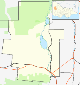
 Netherby
Population: 20 Postcode: 3418 Coordinates: 36°06′S 141°39′E / 36.1°S 141.65°ECoordinates: 36°06′S 141°39′E / 36.1°S 141.65°E Location: LGA: Shire of Hindmarsh State District: Lowan Federal Division: Mallee Netherby is a town in western Victoria, in Australia. The town is approximately 406 kilometres (252 mi) north west from Melbourne and has a population of just 20 people.
History
The town was originally known as Warraquil. It was renamed to Netherby in 1886 due to the towns first teacher getting confused and going to a town with a similar name (Warragul - 502km away). The town takes its name from the British full-rigged ship Netherby, 944 tons, which was wrecked on King Island in Bass Strait on 17 July 1866. The ship was carrying 52 crew and 452 emigrants to Brisbane, Queensland and all hands landed safely. After the castaways were rescued and taken to Melbourne, few elected to continue on to Queensland and many settled in the district of Victoria then being opened up that was named after their ship.
Netherby Post Office opened on 1 September 1886 and closed in 1975. [1]
References
- ^ Premier Postal History. "Post Office List". https://www.premierpostal.com/cgi-bin/wsProd.sh/Viewpocdwrapper.p?SortBy=VIC&country=. Retrieved 2008-04-11.
- Charlwood, Don (2005). The Wreck of the Sailing Ship "Netherby" - A Miracle of Survival (2005 ed.). Warrandyte, Victoria: Burgewood Books.
- Broxam, Grame and Nash, Michael (1998). Tasmanian Shipwrecks, Volume One, 1797-1899 (1998 ed.). Woden, Australian Capital Territory: Navarine Publishing.
Towns in the Shire of Hindmarsh Cities and towns in the Wimmera region of Victoria Cities: Ararat · Horsham
Towns/Communities: Antwerp · Apsley · Armstrong · Balmoral · Beulah · Birchip · Brim · Callawadda · Dadswells Bridge · Dimboola · Donald · Douglas · Edenhope · Glenorchy · Goroke · Great Western · Halls Gap · Harrow · Haven · Jeparit · Joel Joel · Lawloit · Kaniva · Marnoo · Minimay · Minyip · Murtoa · Natimuk · Netherby · Nhill · Pimpinio · Pomonal · Rainbow · Rupanyup · Serviceton · St Arnaud · Stawell · Tarraginnie · Telopea Downs · Wallup · Warracknabeal · Wartook · Willenabrina · YaapeetCategories:- Towns in Victoria (Australia)
- Wimmera
- Victoria (Australia) geography stubs


Wikimedia Foundation. 2010.