- Murtoa, Victoria
-
Murtoa
Victoria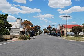
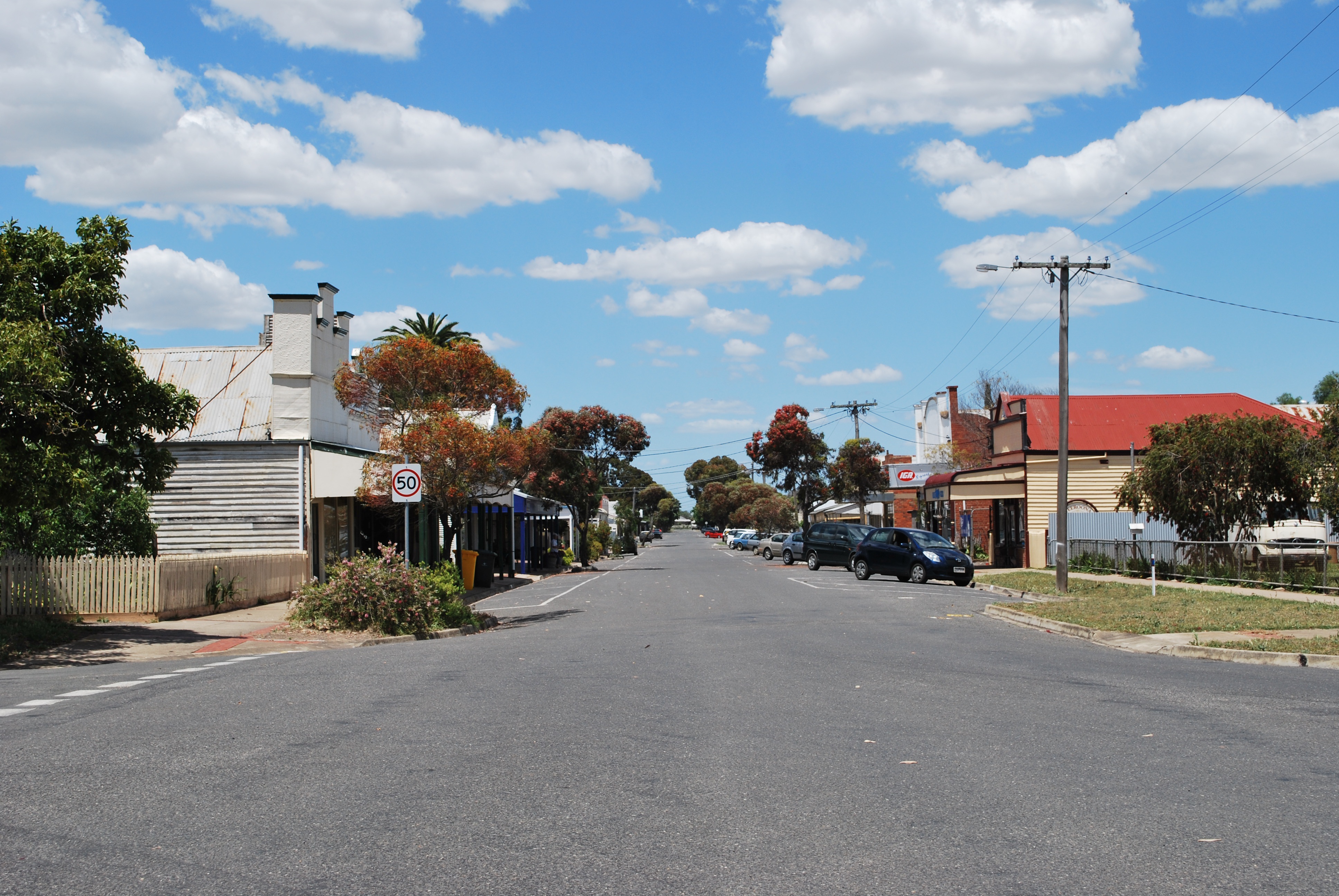
McDonald Street, Murtoa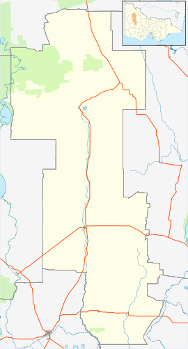
 Murtoa
Population: 912 (2006)[1] Postcode: 3390 Location: LGA: Shire of Yarriambiack State District: Swan Hill Federal Division: Mallee Murtoa is a wheat district town in Victoria, Australia, situated around Lake Marma on the Wimmera Highway, 305 kilometres (190 mi) north-west of the state capital, Melbourne. The town is in the Shire of Yarriambiack local government area. At the 2006 census, Murtoa had a population of 912.
The name Murtoa is believed to come from a local Aboriginal word meaning "home of the lizard". Murtoa's post office opened on 1 August 1874.[2]
The working section of the present day Murtoa silos can hold up to 400,000 tonnes of grain.
Because wheat could not be exported during the Second World War, a stick grain shed, 260m long and 60m wide, was built from 640 unmilled tree trunks in 1941. The sticks were sunk in earth and a concrete slab poured around it. This impressive cathedral-like structure has a partially collapsed roof and has been declared unsafe to enter. A cyclone rated wire net has been placed over the roof to contain any potential collapse. The stick shed is heritage listed and, in October 2008, the Victorian government allocated funds to upgrade it. Some[who?] have considered a potential upgraded use of the stick shed as a tourist attraction, however Murtoa's isolated location and the fact that the shed is situated amongst a working wheat silo have caused commentators[who?] to question the viability of this idea.
A larger stick shed and a third incomplete stick shed adjacent to the first (remaining) one were demolished in the past.
In 2007 the drought took effect on Murtoa's lake, Lake Marma, and it dried up. Once home to many species of birds and animals, it is now a common mistake[by whom?] to believe it has been dry for decades.
Contents
Schools
Murtoa also has two schools, Our Lady Help of Christians {OLHC}, a Catholic school in Marma Sreett, and Murtoa College, a prep to Year 12 state school in Webb Street. There is also a kindergarten.
Sport
The town has an Australian Rules football team competing in the Wimmera Football League.
The horse racing club, the Wimmera Racing Club, schedules four race meetings a year at Murtoa including the Murtoa Cup meeting in October and the Marma Cup on New Year's Day.[3]
Golfers play at the course of the Murtoa Golf Club on Murtoa-Lubeck Road.[4]
Notable people
Murtoa was the birthplace, in 1912, of distinguished psychiatrist John Cade.[5]
References
- ^ Australian Bureau of Statistics (25 October 2007). "Murtoa (State Suburb)". 2006 Census QuickStats. http://www.censusdata.abs.gov.au/ABSNavigation/prenav/LocationSearch?collection=Census&period=2006&areacode=SSC26259&producttype=QuickStats&breadcrumb=PL&action=401. Retrieved 2007-10-01.
- ^ Premier Postal History, Post Office List, https://www.premierpostal.com/cgi-bin/wsProd.sh/Viewpocdwrapper.p?SortBy=VIC&country=, retrieved 2008-04-11
- ^ Country Racing Victoria, Wimmera Racing at Murtoa, http://www.countryracing.com.au/index.php?option=com_club_info&club=91&Itemid=80, retrieved 2009-05-07[dead link]
- ^ Golf Select, Murtoa, http://www.golfselect.com.au/armchair/courseView.aspx?course_id=1045, retrieved 2009-05-11
- ^ Cade, Jack F. (1999), "John Frederick Joseph Cade: family memories on the occasion of the 50th anniversary of his discovery of the use of lithium in mania", The Australian and New Zealand journal of psychiatry 33 (5): 615–618, doi:10.1080/j.1440-1614.1999.00624.x, PMID 10544983
External links
Coordinates: 36°36′S 142°29′E / 36.6°S 142.483°E
Towns in the Shire of Yarriambiack Cities and towns in the Wimmera region of Victoria Cities: Ararat · Horsham
Towns/Communities: Antwerp · Apsley · Armstrong · Balmoral · Beulah · Birchip · Brim · Callawadda · Dadswells Bridge · Dimboola · Donald · Douglas · Edenhope · Glenorchy · Goroke · Great Western · Halls Gap · Harrow · Haven · Jeparit · Joel Joel · Lawloit · Kaniva · Marnoo · Minimay · Minyip · Murtoa · Natimuk · Netherby · Nhill · Pimpinio · Pomonal · Rainbow · Rupanyup · Serviceton · St Arnaud · Stawell · Tarraginnie · Telopea Downs · Wallup · Warracknabeal · Wartook · Willenabrina · YaapeetCategories:- Towns in Victoria (Australia)
- Australian Aboriginal placenames
- Wimmera

Wikimedia Foundation. 2010.